Poll an Aba
Sea, Estuary, Creek in Argyllshire
Scotland
Poll an Aba
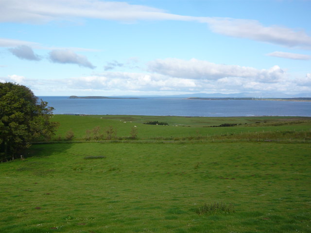
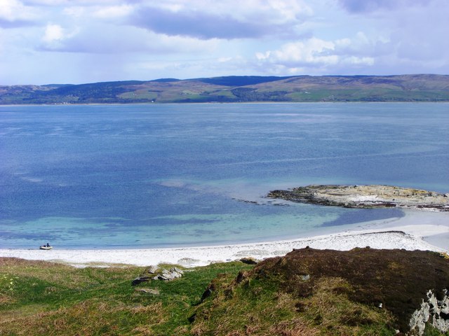
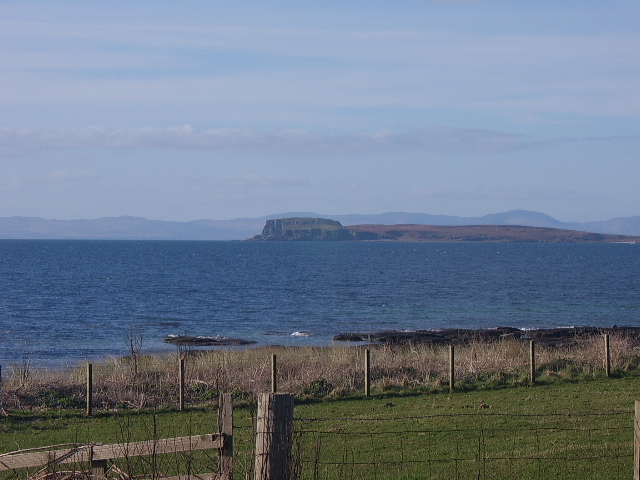
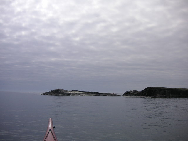
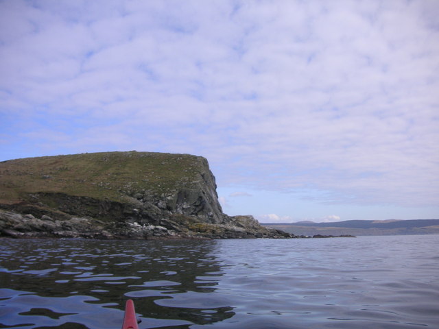
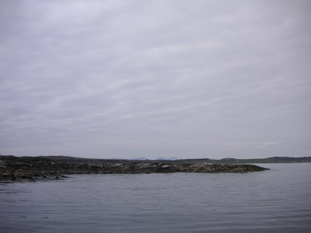
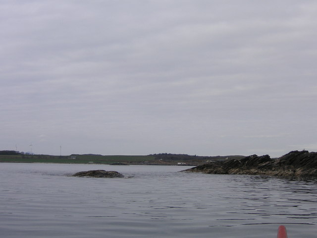
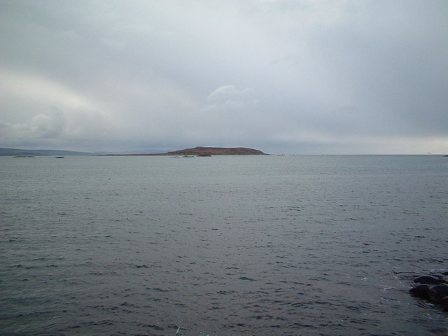
Poll an Aba is a picturesque sea inlet located in the region of Argyllshire, Scotland. Nestled between rolling hills and verdant landscapes, this estuary offers a breathtaking natural beauty that is a delight for visitors and locals alike.
The name "Poll an Aba" originates from the Gaelic language, meaning "Pool of the Abbot." The area is steeped in history, with evidence of human habitation dating back to ancient times. The estuary is believed to have provided a vital lifeline for communities in the past, as its calm waters offered shelter for fishing boats and provided a source of sustenance.
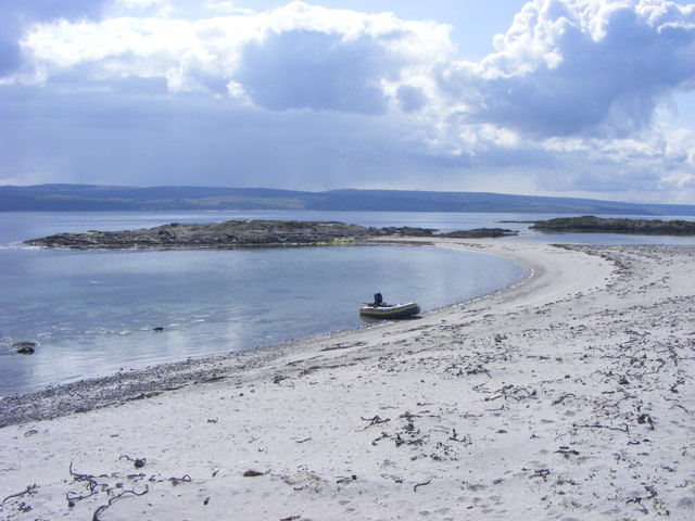
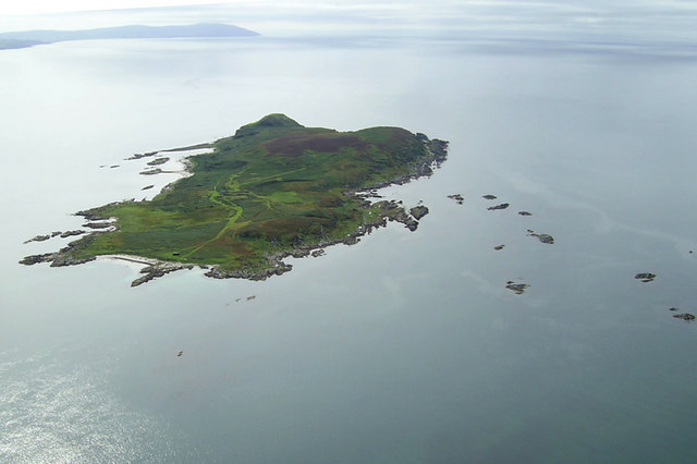
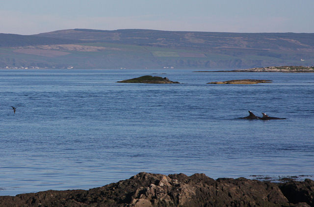
The scenic beauty of Poll an Aba is enhanced by its crystal-clear turquoise waters, which are teeming with a diverse array of marine life. The estuary serves as a haven for a variety of bird species, making it a paradise for birdwatchers. Visitors can spot graceful herons, elegant oystercatchers, and the occasional osprey swooping down to catch fish.
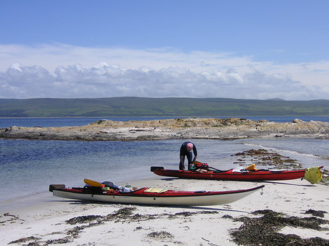
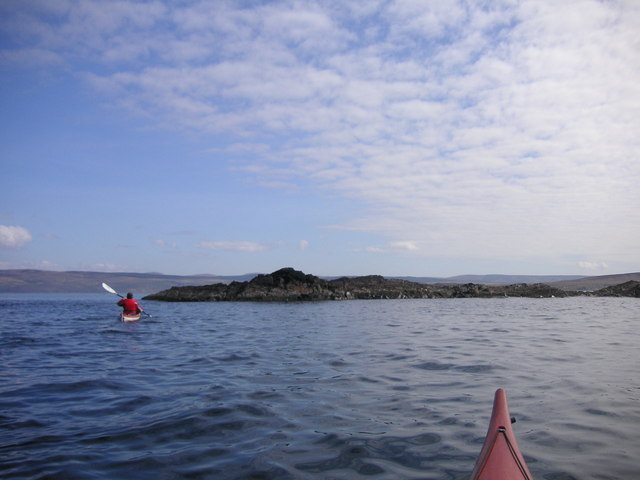
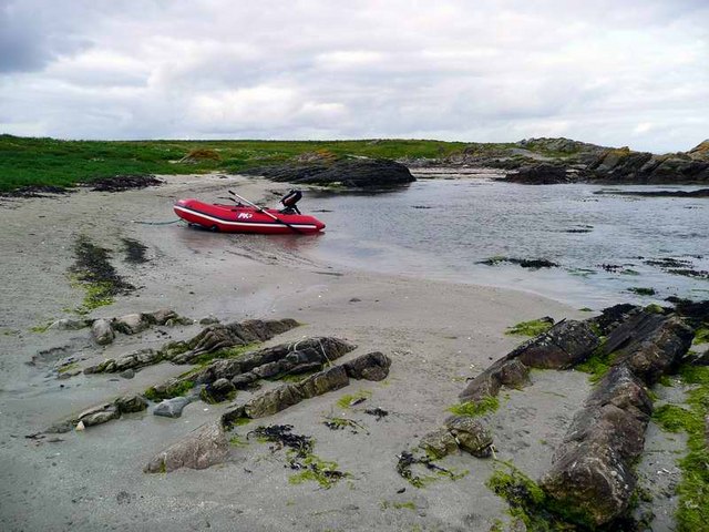
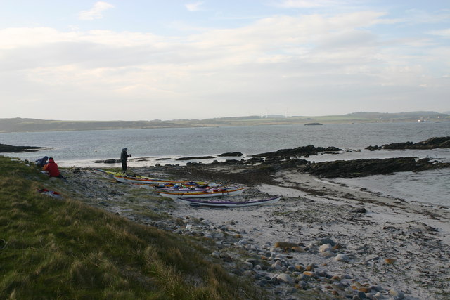
The estuary is also a popular spot for recreational activities such as boating, kayaking, and fishing. Its calm and sheltered waters make it an ideal location for water sports enthusiasts of all levels of experience.
Surrounded by lush greenery and breathtaking views, Poll an Aba offers a tranquil escape from the bustling city life. Its natural charm and rich history make it a must-visit destination for nature lovers and those seeking a peaceful retreat in the heart of Argyllshire.
If you have any feedback on the listing, please let us know in the comments section below.
Poll an Aba Images
Images are sourced within 2km of 55.629452/-5.7482728 or Grid Reference NR6443. Thanks to Geograph Open Source API. All images are credited.

Poll an Aba is located at Grid Ref: NR6443 (Lat: 55.629452, Lng: -5.7482728)
Unitary Authority: Argyll and Bute
Police Authority: Argyll and West Dunbartonshire
What 3 Words
///hawks.cabs.haunt. Near Campbeltown, Argyll & Bute
Nearby Locations
Related Wikis

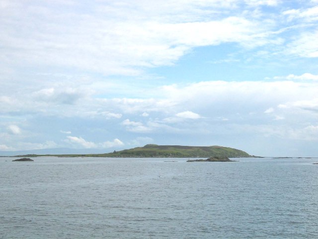
Cara Island
Cara Island (Scottish Gaelic: Cara) is a small island which is located off the west coast of Kintyre in Scotland. == Geography and etymology == Cara is...
St Fionnlagh's Chapel
St Fionnlagh's Chapel (St Finla's Chapel) is a ruined medieval chapel on Cara Island, Argyll and Bute, Scotland. First recorded in the 15th century, the...

Ardminish
Ardminish (Scottish Gaelic: Aird Mhèanais) is the sole village on the Isle of Gigha in the Inner Hebrides, in Argyll and Bute, Scotland, and considered...

Achamore House
Achamore House is a mansion on the Isle of Gigha, Scotland. It was built in 1884 for Lt-Col William James Scarlett, and the extensive gardens were laid...
Nearby Amenities
Located within 500m of 55.629452,-5.7482728Have you been to Poll an Aba?
Leave your review of Poll an Aba below (or comments, questions and feedback).