Port na h-'Ath Aoil
Sea, Estuary, Creek in Argyllshire
Scotland
Port na h-'Ath Aoil
Port na h-Ath Aoil is a coastal settlement located in Argyllshire, Scotland. Situated on the western coast of the country, it is surrounded by breathtaking natural beauty. The name Port na h-Ath Aoil translates to "port of the muddy ford," reflecting the area's historic connection to the sea and estuary.
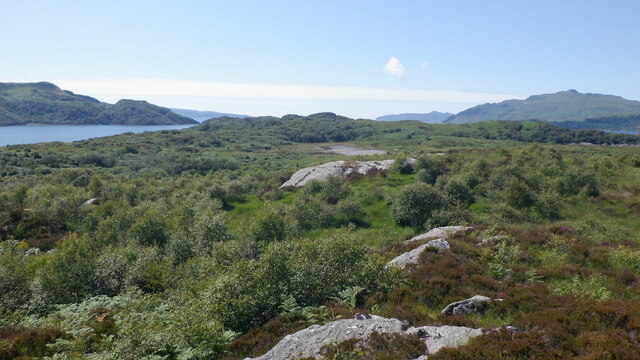
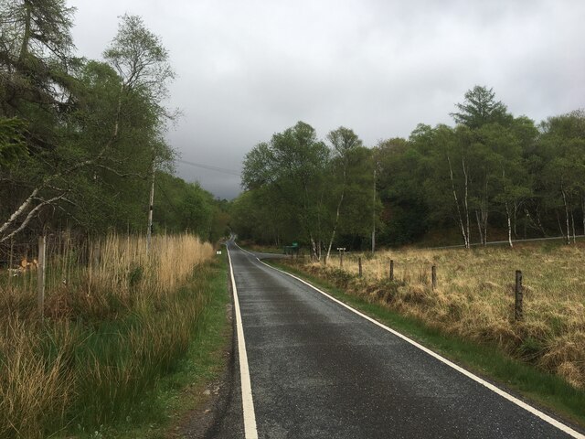
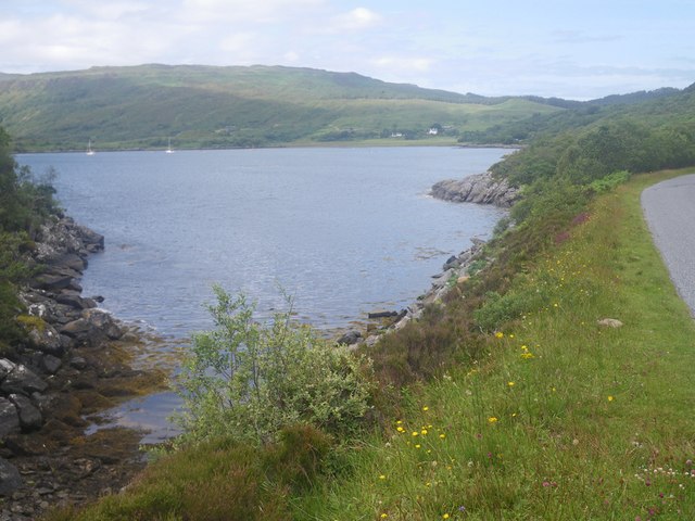
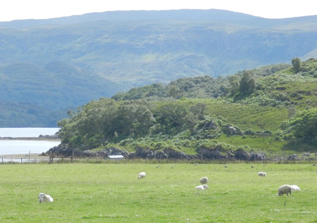
The settlement is characterized by its picturesque scenery, with the sea, estuary, and creek forming the focal points of its landscape. The sea, with its deep blue waters, provides a stunning backdrop against the rugged coastline. The estuary, formed by the convergence of a river and the sea, creates a unique ecosystem that supports a diverse range of plant and animal life. Here, visitors can observe various bird species, marine mammals, and even occasional seals basking on the rocks.
The creek, a narrow water channel, adds to the charm of Port na h-Ath Aoil. It winds its way through the settlement, providing a tranquil atmosphere for residents and visitors alike. The creek is often used for recreational activities such as boating and fishing, adding to the vibrancy of the community.
Port na h-Ath Aoil also boasts a rich history, with evidence of human habitation dating back centuries. The settlement was once a bustling fishing village, and remnants of its maritime heritage can still be seen today. The local economy continues to be influenced by its coastal location, with fishing and tourism being major industries.
In conclusion, Port na h-Ath Aoil is a captivating coastal settlement in Argyllshire, encompassing the beauty of the sea, estuary, and creek. Its stunning natural surroundings, rich history, and vibrant community make it an ideal destination for those seeking to immerse themselves in Scotland's coastal charm.
If you have any feedback on the listing, please let us know in the comments section below.
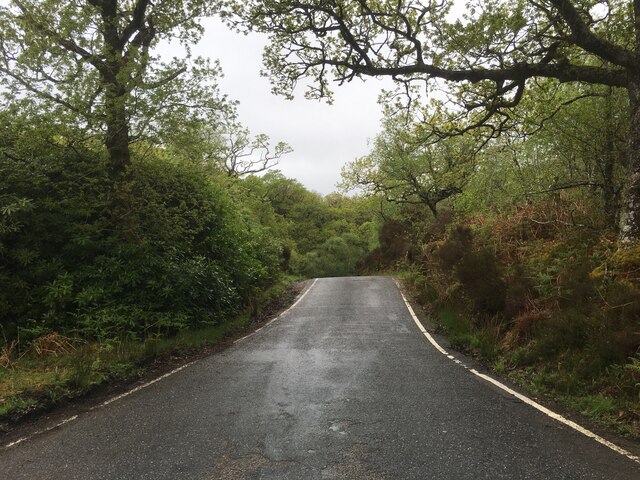
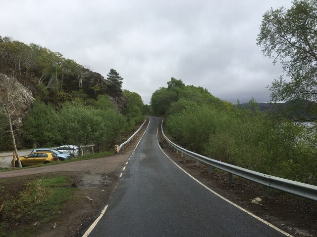
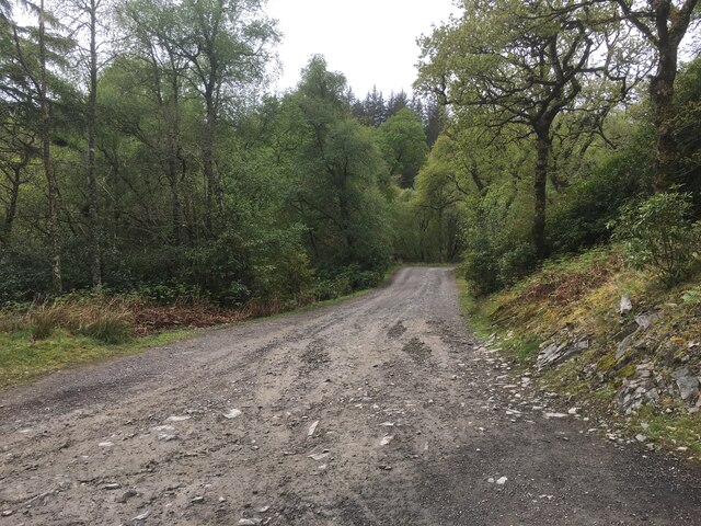
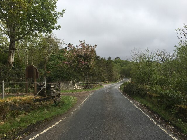
Port na h-'Ath Aoil Images
Images are sourced within 2km of 56.676338/-5.9199807 or Grid Reference NM5960. Thanks to Geograph Open Source API. All images are credited.
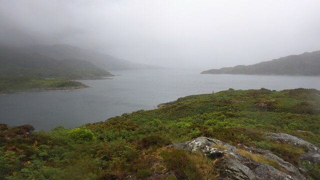


![Loch Sunart Off the B8006 near Glenbeg (on the road to the Kilchoan Ferry). I
believe the low-lying island of Oronsay is in the middle ground with the
western part of Morvern and Beinn Bhuide behind.
[Thanks to Penny Mayes for assistance in locating this image]](https://s3.geograph.org.uk/geophotos/02/49/30/2493051_8020412c.jpg)
Port na h-'Ath Aoil is located at Grid Ref: NM5960 (Lat: 56.676338, Lng: -5.9199807)
Unitary Authority: Highland
Police Authority: Highlands and Islands
What 3 Words
///bonus.lads.narrow. Near Drimnin, Highland
Nearby Locations
Related Wikis

Glenborrodale Bay
Glenborrodale Bay is a remote tidal, 200° orientated, coastal embayment, located on the southern coastline of the west to east orientated Ardnamurchan...

Glenmore Bay
Glenmore Bay is a remote, tidal, 150° orientated, coastal embayment, located on the southern coastline of the west to east orientated Ardnamurchan peninsula...

Eilean Mòr, Loch Sunart
Eilean Mòr is an uninhabited, tidal island opposite Oronsay at the entrance to Loch Sunart, an arm of the sea on the west coast of Scotland. At low tide...
Glenborrodale
Glenborrodale (Scottish Gaelic: Gleann Bhorghdail) is a coastal community on Loch Sunart in the south of the Ardnamurchan peninsula in the Highland area...
Related Videos

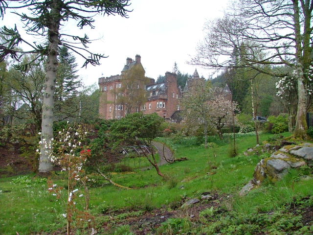
Glenborrodale Castle On Visit To Loch Sunart In The Highlands Of Scotland
Tour Scotland travel video clip, with Scottish music, of Glenborrodale Castle on visit to Loch Sunart in the Scottish Highlands.

Glenborrodale Castle And Gardens With Music On History Visit To The Highlands Of Scotland
Tour Scotland 4K travel video, with Scottish music, of Glenborrodale Castle and gardens on ancestry, genealogy, family history ...

Isle of Carna kayaking
Around the the Isle of Carna and into Droma Buidhe.
Nearby Amenities
Located within 500m of 56.676338,-5.9199807Have you been to Port na h-'Ath Aoil?
Leave your review of Port na h-'Ath Aoil below (or comments, questions and feedback).