Battlesbridge
Settlement in Essex Chelmsford
England
Battlesbridge

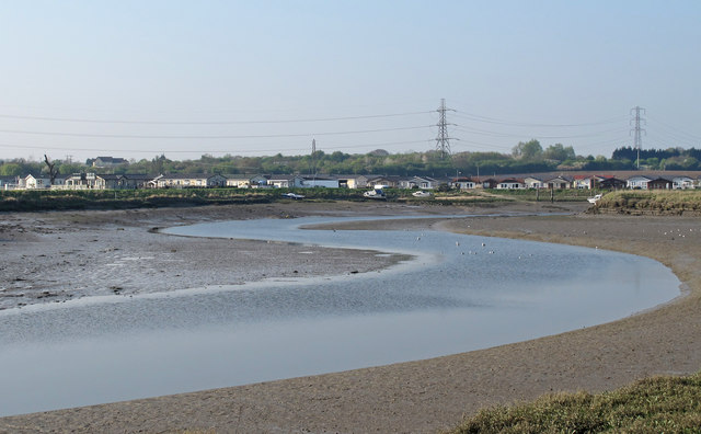
Battlesbridge is a small village located in the county of Essex, England. Situated on the River Crouch, it is approximately 8 miles southeast of Chelmsford and 40 miles east of London. With its picturesque setting and rich history, Battlesbridge has become a popular destination for both residents and visitors.
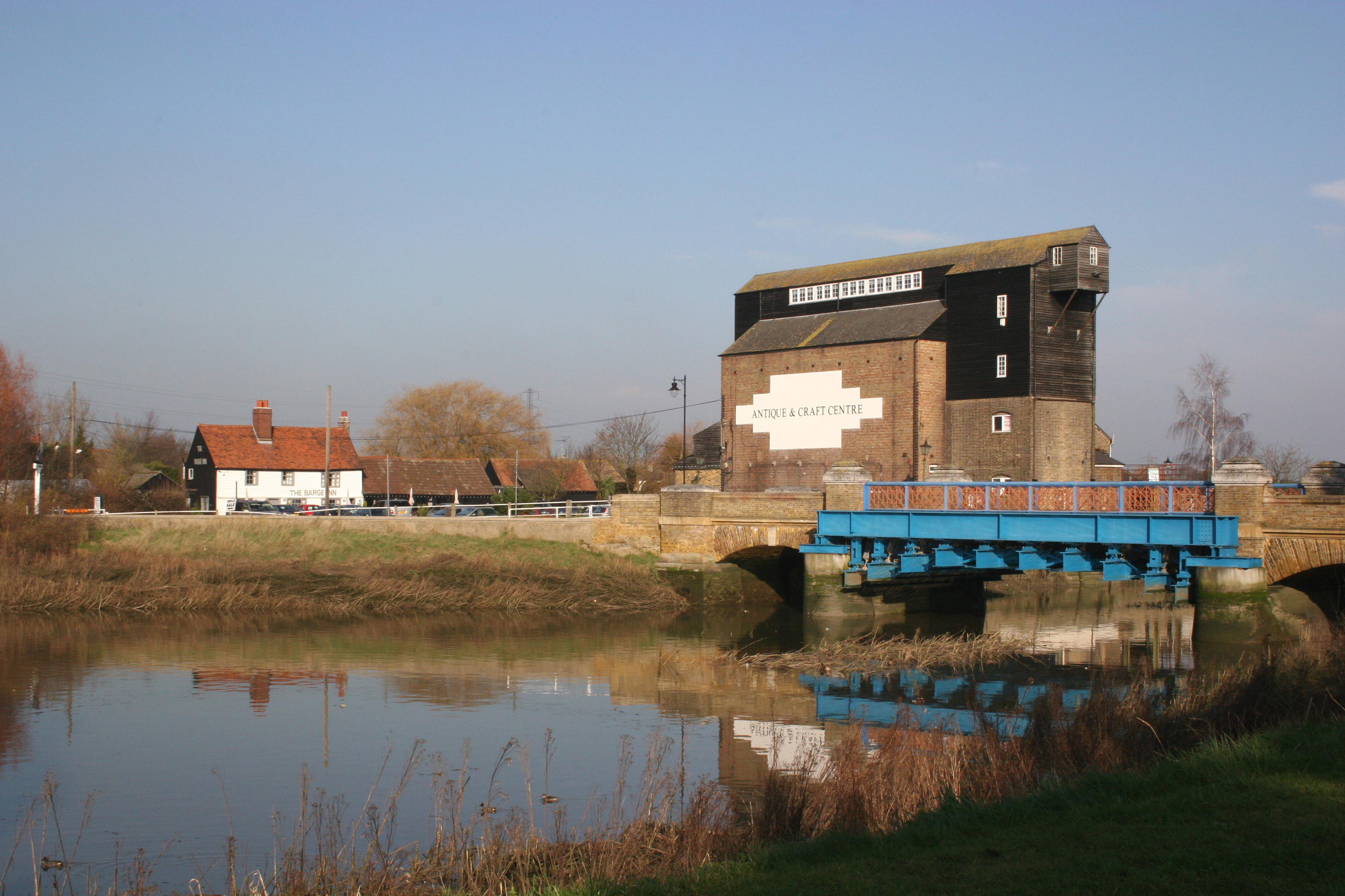
The village is renowned for its antique shops and vintage stores, making it a haven for collectors and enthusiasts. Its antique center, situated within a former paper mill, houses a wide range of unique and rare items, including furniture, jewelry, and collectibles from various eras. Visitors can spend hours browsing through the vast selection and uncovering hidden treasures.
Aside from its antique trade, Battlesbridge also offers a variety of outdoor activities and attractions. The River Crouch provides opportunities for boating, fishing, and riverside walks, allowing visitors to enjoy the natural beauty of the surrounding countryside. The village is also home to a number of charming tea rooms, cafes, and traditional pubs, where one can relax and indulge in local cuisine.
Battlesbridge has a close-knit community and a strong sense of heritage. The village hosts regular events, such as vintage fairs and classic car shows, which attract enthusiasts from far and wide. Additionally, the nearby Battlesbridge Mills Craft Village showcases the work of local artisans and craftsmen.
With its blend of history, culture, and natural beauty, Battlesbridge offers a unique experience for those seeking a tranquil escape or a dose of nostalgia.
If you have any feedback on the listing, please let us know in the comments section below.
Battlesbridge Images
Images are sourced within 2km of 51.622847/0.569401 or Grid Reference TQ7794. Thanks to Geograph Open Source API. All images are credited.


Battlesbridge is located at Grid Ref: TQ7794 (Lat: 51.622847, Lng: 0.569401)
Administrative County: Essex
District: Chelmsford
Police Authority: Essex
What 3 Words
///solids.move.automatic. Near Wickford, Essex
Nearby Locations
Related Wikis
Battlesbridge
Battlesbridge is a village in Essex, England. It straddles the River Crouch which is tidal and navigable up to this point. It is approximately 14 miles...
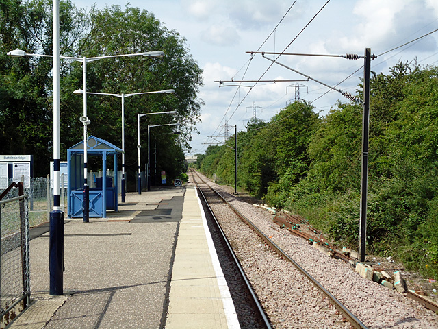
Battlesbridge railway station
Battlesbridge railway station is on the Crouch Valley Line in the East of England, serving the village of Battlesbridge, Essex. It is 31 miles 40 chains...
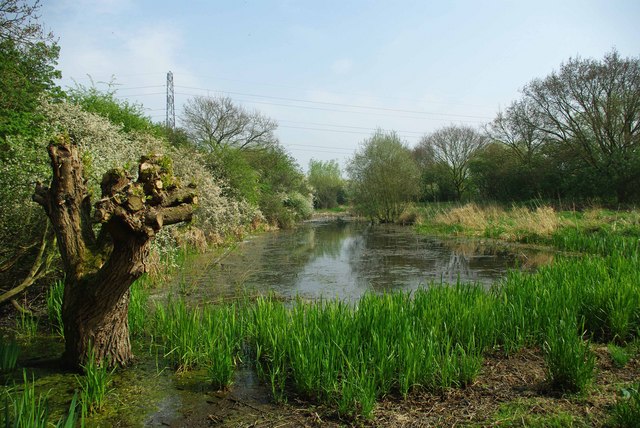
Shotgate Thickets
Shotgate Thickets is a 3.2-hectare (7.9-acre) nature reserve east of Wickford in Essex. It is managed by the Essex Wildlife Trust.This site on the north...

Rawreth
Rawreth is a village and civil parish in the District of Rochford, Essex, England. It is situated between Wickford and Rayleigh. The place-name 'Rawreth...

Runwell
Runwell is a village near Wickford and a civil parish on the A132 road, in the Chelmsford District, in the English county of Essex. The village is surrounded...
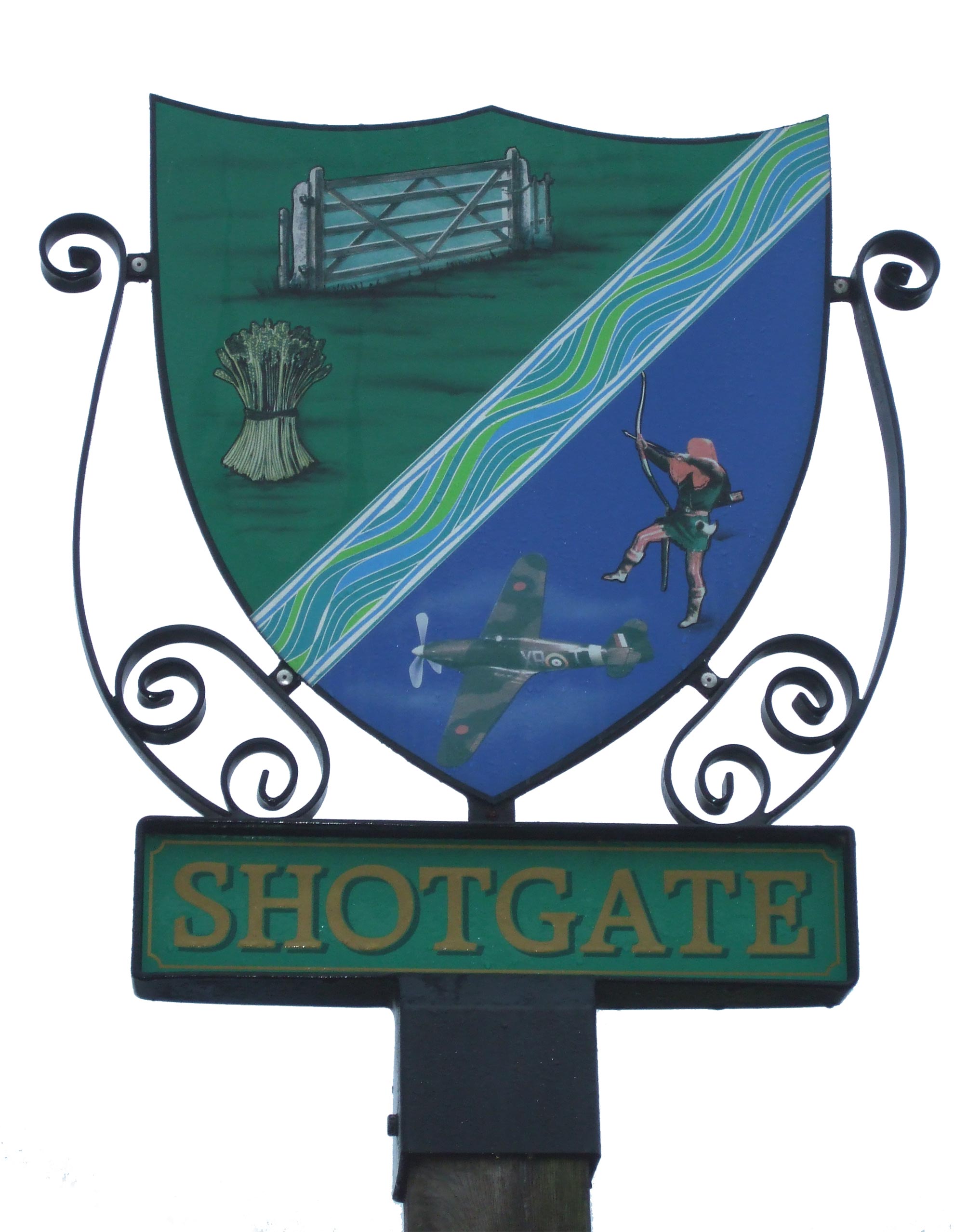
Shotgate
Shotgate is a civil parish and village in Essex, England. On 1 April 2007, Shotgate became the first area of Wickford to have a Parish Council. == History... ==

Beauchamps High School
== History == The school is located in the town of Billericay in Essex, England, and moved to its present site in 1959. The school was called Billericay...
Rettendon murders
The Rettendon murders (also known as the Range Rover murders or Essex murders) occurred on 6 December 1995 in the village of Rettendon in Essex, England...
Nearby Amenities
Located within 500m of 51.622847,0.569401Have you been to Battlesbridge?
Leave your review of Battlesbridge below (or comments, questions and feedback).