Cùl a' Gheata
Sea, Estuary, Creek in Argyllshire
Scotland
Cùl a' Gheata
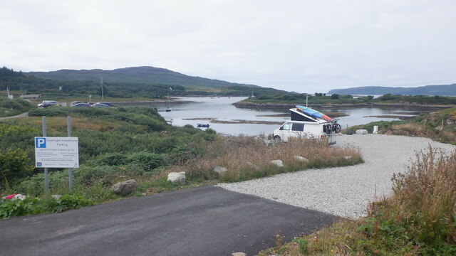
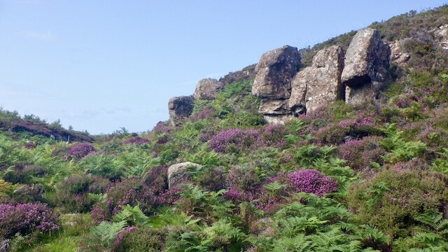
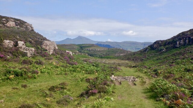
Cùl a' Gheata is a small coastal village located in Argyllshire, Scotland. Situated on the western coast of Scotland, it is known for its picturesque sea views, estuary, and creek. The village is nestled between rolling hills and offers a peaceful and serene environment for residents and visitors alike.
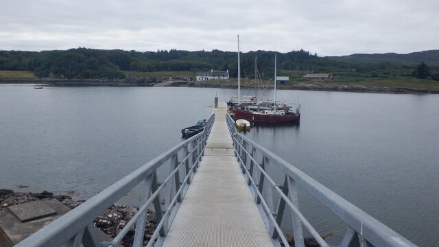
The sea in Cùl a' Gheata is a prominent feature of the village, with its sparkling blue waters stretching out as far as the eye can see. The sea provides a variety of recreational activities for locals and tourists, including fishing, boating, and swimming. The coastline is dotted with beautiful sandy beaches, perfect for sunbathing and picnicking.
The estuary in Cùl a' Gheata is a natural wonder, where the river meets the sea. It is a haven for wildlife, attracting a wide range of bird species, including herons, oystercatchers, and gulls. Nature enthusiasts can explore the estuary on foot or by kayak, enjoying the peacefulness and observing the diverse ecosystem.
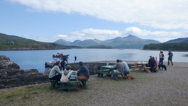
Cùl a' Gheata is also home to a charming creek, which meanders through the village. The creek serves as a focal point for the community, providing a picturesque backdrop for local events and gatherings. It is a popular spot for families to enjoy picnics and children to paddle in the shallow waters.
Overall, Cùl a' Gheata offers a delightful coastal experience, with its stunning sea views, serene estuary, and charming creek. It is a place where visitors can immerse themselves in nature, enjoy outdoor activities, and appreciate the beauty of the Scottish coastline.
If you have any feedback on the listing, please let us know in the comments section below.
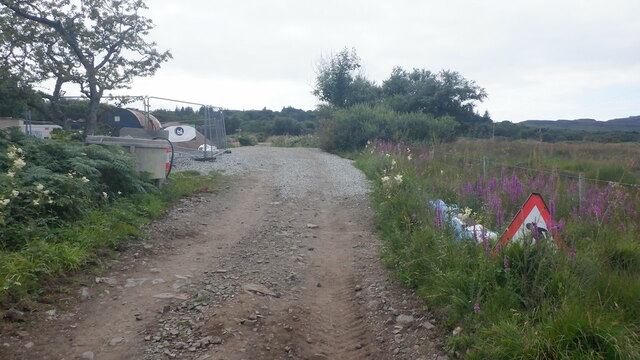
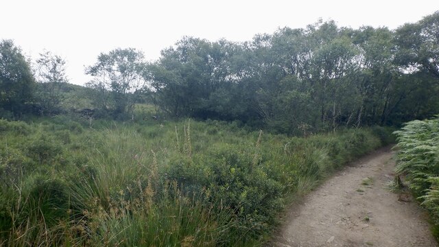
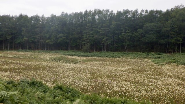
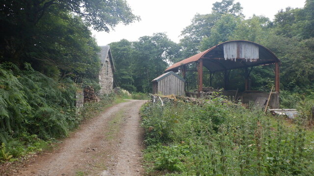
Cùl a' Gheata Images
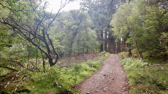
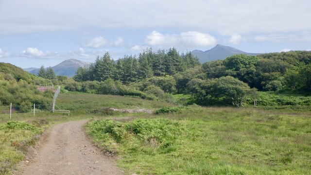
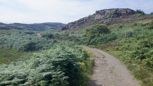
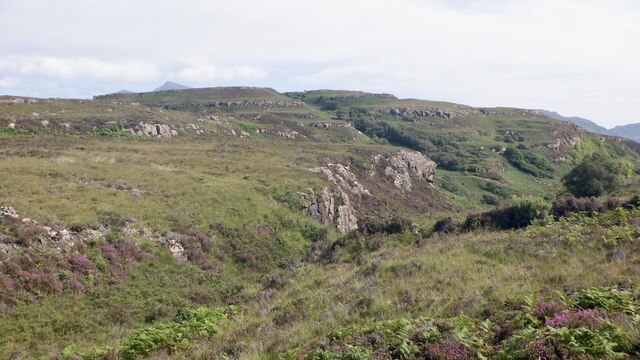
Images are sourced within 2km of 56.469048/-6.1510446 or Grid Reference NM4438. Thanks to Geograph Open Source API. All images are credited.


Cùl a' Gheata is located at Grid Ref: NM4438 (Lat: 56.469048, Lng: -6.1510446)
Unitary Authority: Argyll and Bute
Police Authority: Argyll and West Dunbartonshire
What 3 Words
///galloped.unafraid.serve. Near Dervaig, Argyll & Bute
Nearby Locations
Related Wikis

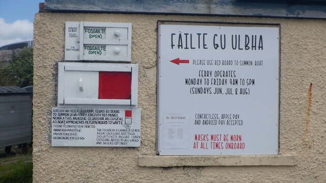
Ulva Ferry
Ulva Ferry (Scottish Gaelic: Caolas Ulbha) is a hamlet on the Hebridean island of Mull, on its west coast. Ulva Ferry is on the shore of Ulva Sound (Caolas...

Samalan Island
Samalan Island is a small island, just off the Isle of Mull at the mouth of Loch na Keal in the Inner Hebrides, Scotland. To its south west is the island...

St Kenneth's Chapel
St. Kenneth's Chapel is a ruined chapel on Inch Kenneth Island, Parish of Kilfinichen and Kilvickeon, Isle of Mull, Argyll and Bute, Scotland. It dates...

Inch Kenneth
Inch Kenneth (Scottish Gaelic: Innis Choinnich) is a small grassy island off the west coast of the Isle of Mull, in Scotland. It is at the entrance of...
Nearby Amenities
Located within 500m of 56.469048,-6.1510446Have you been to Cùl a' Gheata?
Leave your review of Cùl a' Gheata below (or comments, questions and feedback).