Lòn Mòr
Sea, Estuary, Creek in Argyllshire
Scotland
Lòn Mòr
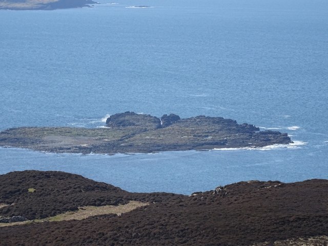
Lòn Mòr is a stunning sea inlet located in Argyllshire, Scotland. Nestled along the western coast, it offers breathtaking views of the surrounding landscape and is a popular destination for nature enthusiasts and adventure seekers.
The sea inlet is characterized by its tranquil waters and diverse ecosystems. The pristine blue sea merges with the estuary, creating a unique blend of saltwater and freshwater habitats. This convergence supports a rich array of marine life, making Lòn Mòr a haven for fishing and wildlife spotting.
The creek meandering through the area adds to the charm of Lòn Mòr. Its gentle flow creates a peaceful atmosphere, while the lush vegetation along its banks provides a habitat for various bird species and small mammals. Exploring the creek by boat or kayak allows visitors to immerse themselves in the natural beauty of the surroundings.
For those seeking adventure, Lòn Mòr offers ample opportunities for water sports such as paddleboarding and sailing. The calm waters and scenic backdrop create an idyllic setting for these activities, attracting both beginners and experienced enthusiasts.
In addition to its natural wonders, Lòn Mòr is also steeped in history. The area is dotted with ancient ruins and archaeological sites, offering a glimpse into Scotland's past. Visitors can explore these historical landmarks while enjoying the breathtaking views, creating a truly immersive experience.
Overall, Lòn Mòr in Argyllshire is a picturesque and diverse sea inlet that captivates visitors with its serene waters, abundant wildlife, and rich history. It is a must-visit destination for anyone seeking a tranquil escape or an exciting outdoor adventure.
If you have any feedback on the listing, please let us know in the comments section below.
Lòn Mòr Images
Images are sourced within 2km of 56.48231/-6.3030511 or Grid Reference NM3540. Thanks to Geograph Open Source API. All images are credited.


Lòn Mòr is located at Grid Ref: NM3540 (Lat: 56.48231, Lng: -6.3030511)
Unitary Authority: Argyll and Bute
Police Authority: Argyll and West Dunbartonshire
What 3 Words
///saddens.ranked.rash. Near Calgary, Argyll & Bute
Nearby Locations
Related Wikis

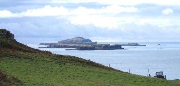
Gometra
Gometra (Scottish Gaelic: Gòmastra) is an island in the Inner Hebrides of Scotland, lying west of Mull. It lies immediately west of Ulva, to which it is...
Little Colonsay
Little Colonsay (Scottish Gaelic: Colbhasa Beag) is an uninhabited island west of the island of the Isle of Mull in Scotland. The geology of the island...

Staffa
Staffa (Scottish Gaelic: Stafa, pronounced [ˈs̪t̪afa], from the Old Norse for stave or pillar island) is an island of the Inner Hebrides in Argyll and...
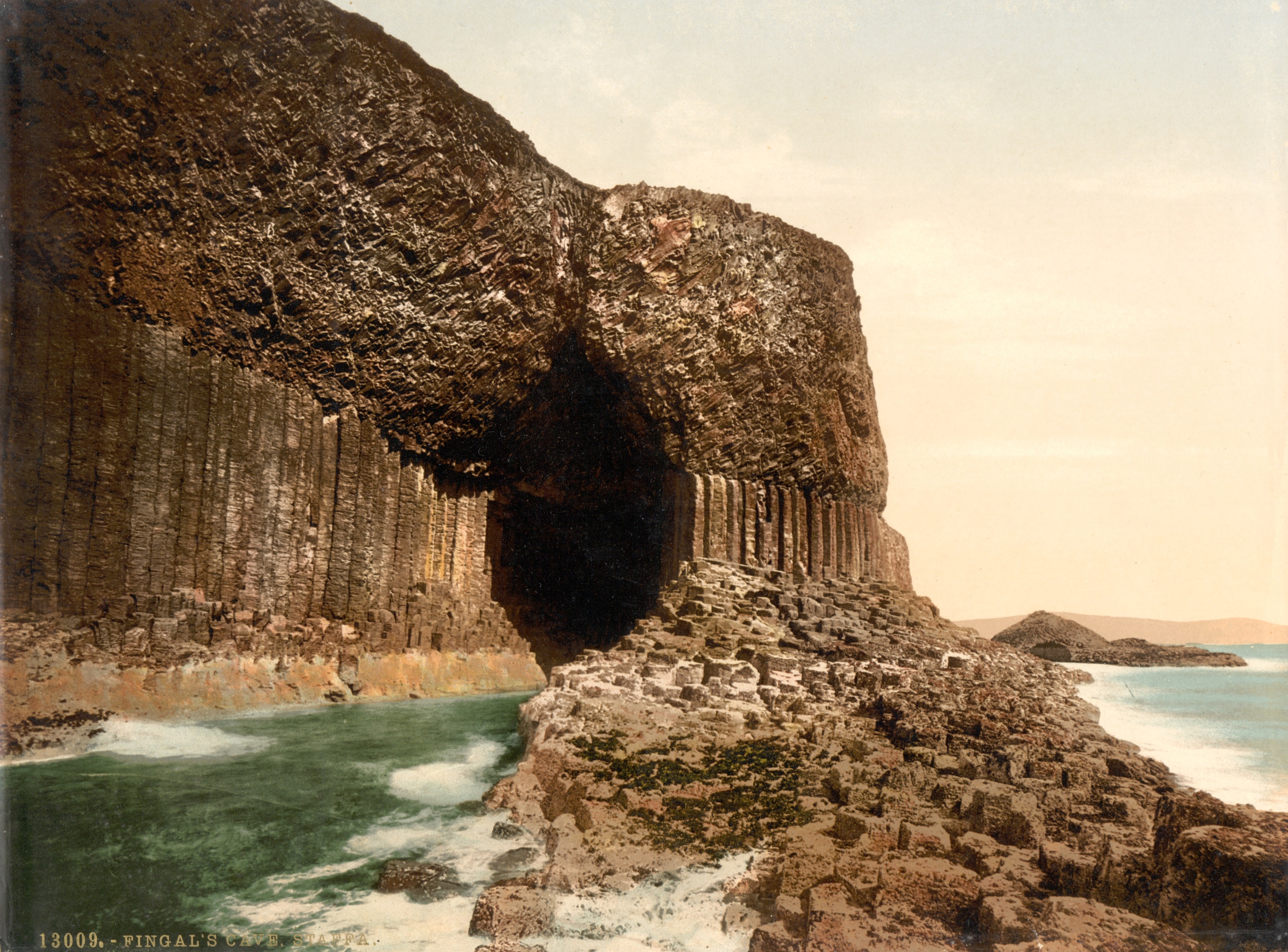
Fingal's Cave
Fingal's Cave is a sea cave on the uninhabited island of Staffa, in the Inner Hebrides of Scotland, known for its natural acoustics. The National Trust...

Ulva
Ulva (; Scottish Gaelic: Ulbha) is a small island in the Inner Hebrides of Scotland, off the west coast of Mull. It is separated from Mull by a narrow...
Cairn na Burgh Beag
Cairn na Burgh Beag is one of the Treshnish Isles in the Inner Hebrides, Scotland. Cairn na Burgh Beag is the smaller of the two "Carnburgs" (as they...
Fladda, Treshnish Isles
Fladda is the northernmost of the Treshnish Isles. Its name comes from the Old Norse Flat-ey meaning "flat island". Fladda is owned by the Hebridean Trust...
Cairnburgh Castle
Cairnburgh Castle is a ruined castle that is located on the islands of Cairn na Burgh Mòr and Cairn na Burgh Beag, Argyll and Bute, Scotland. These islands...
Nearby Amenities
Located within 500m of 56.48231,-6.3030511Have you been to Lòn Mòr?
Leave your review of Lòn Mòr below (or comments, questions and feedback).