Caolas na Brathan
Sea, Estuary, Creek in Argyllshire
Scotland
Caolas na Brathan
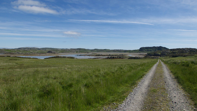
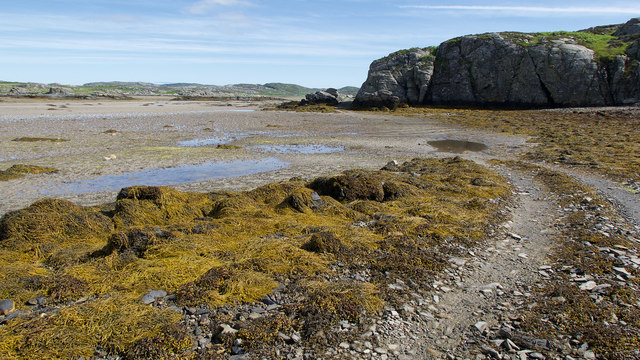
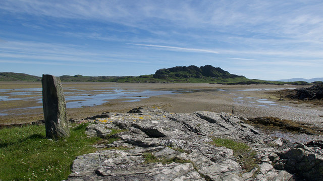
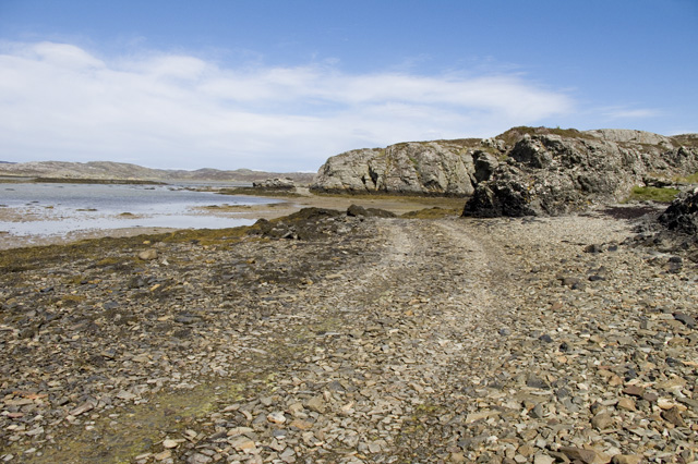
Caolas na Brathan, located in Argyllshire, Scotland, is a picturesque sea inlet known for its stunning natural beauty. Nestled between rolling hills and rugged cliffs, it offers visitors a captivating blend of sea, estuary, and creek environments.
The sea at Caolas na Brathan is a key feature, with its crystal-clear waters and abundant marine life. It provides an ideal spot for swimming, snorkeling, and diving, allowing visitors to explore the underwater world teeming with colorful fish, kelp forests, and even the occasional seal or dolphin sighting. The calmness of the sea makes it a popular destination for boating enthusiasts, who can sail along its tranquil waters and enjoy the breathtaking coastal views.
Moving inland, the estuary at Caolas na Brathan is a haven for birdwatchers and nature enthusiasts. The surrounding marshes and mudflats provide a rich feeding ground for a variety of bird species, including waders, ducks, and herons. During the migrating season, the estuary becomes a temporary home for flocks of geese and swans, creating a spectacle of nature's wonders.
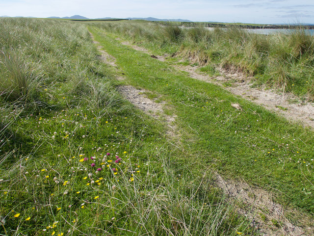
Further inland, the creek at Caolas na Brathan winds its way through lush greenery and offers a peaceful retreat for those seeking solitude. Surrounded by dense forests and wildflower meadows, the creek provides a serene setting for leisurely walks or picnics.
Caolas na Brathan is a place where land and sea seamlessly merge, providing a diverse and captivating natural environment for visitors to enjoy. Whether it's exploring the underwater world, observing the abundance of birdlife, or simply immersing oneself in the tranquility of the creek, this stunning location offers a truly memorable experience for all who visit.
If you have any feedback on the listing, please let us know in the comments section below.
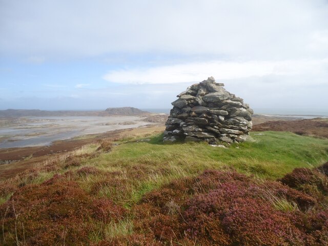
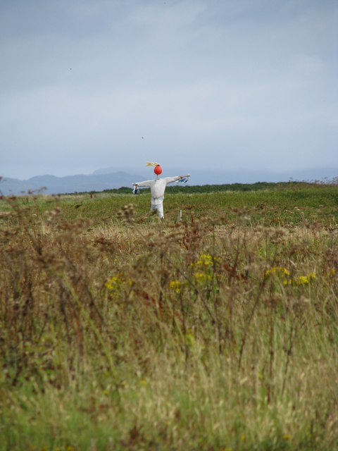
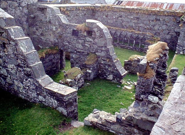
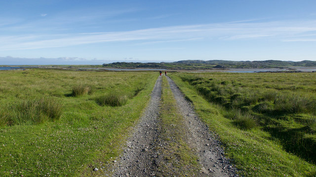
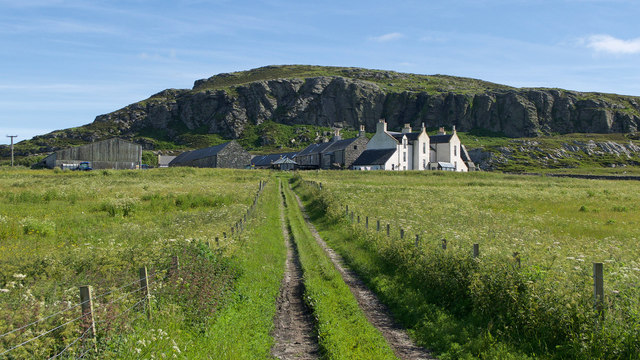
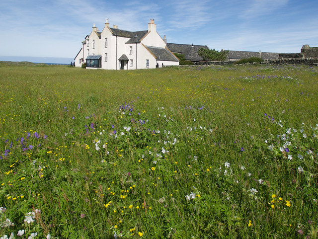
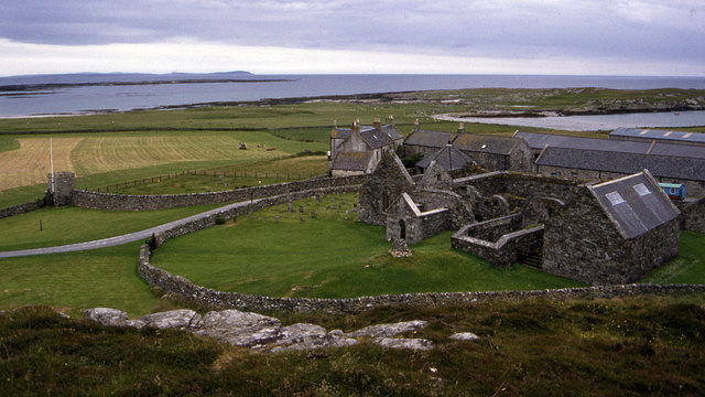
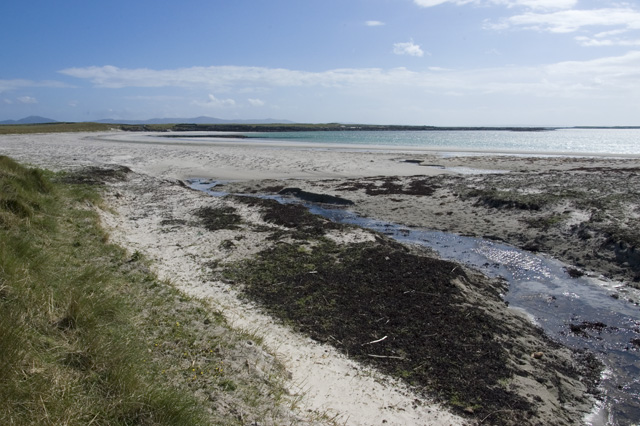
Caolas na Brathan Images
Images are sourced within 2km of 56.032114/-6.2528195 or Grid Reference NR3590. Thanks to Geograph Open Source API. All images are credited.

Caolas na Brathan is located at Grid Ref: NR3590 (Lat: 56.032114, Lng: -6.2528195)
Unitary Authority: Argyll and Bute
Police Authority: Argyll and West Dunbartonshire
What 3 Words
///cosmic.lectures.fish. Near Scalasaig, Argyll & Bute
Nearby Locations
Related Wikis

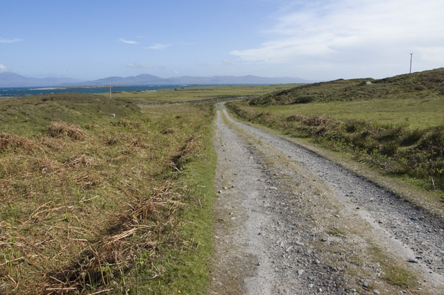
Ardskenish
Ardskenish is a hamlet on the island of Colonsay, in the civil parish of Colonsay and Oronsay, in the council area of Argyll and Bute, Scotland. ��2�...

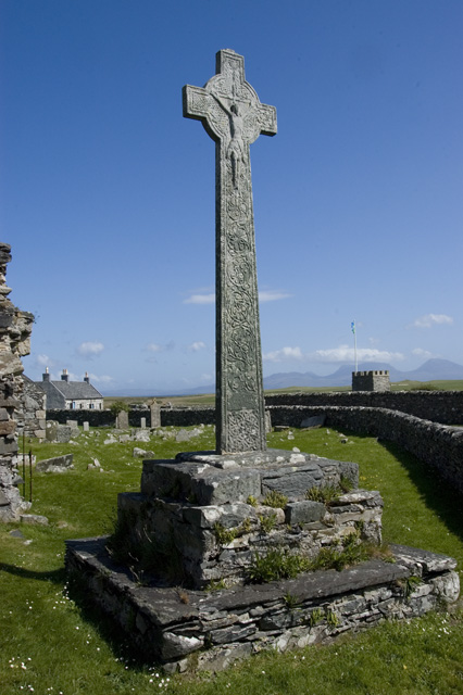
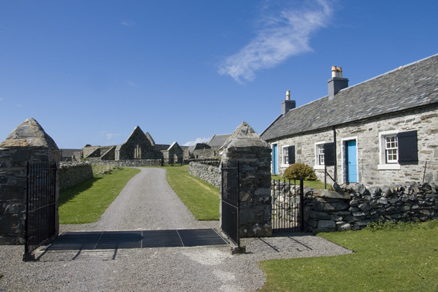
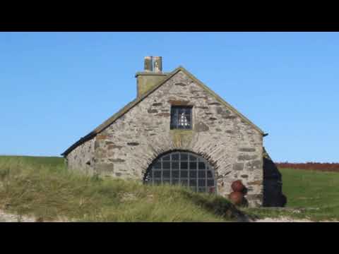
Oronsay Priory
Oronsay Priory was a monastery of canons regular on the island of Oronsay, Inner Hebrides, Argyll, off the coast of Scotland. It was in existence by 1353...

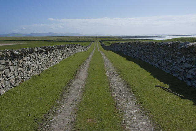
Oronsay, Colonsay
Oronsay (Scottish Gaelic: Orasaigh), also sometimes spelt and pronounced Oransay by the local community, is a small tidal island south of Colonsay in the...

Dùn Galláin
Dùn Galláin (English: Fort of the Strangers) is a promontory fort located on the Inner Hebridean island of Colonsay, Scotland. The site is located at grid...
Related Videos
Walking to my tent on Oronsay
It's a walk along the beach on Oronsay. Starts with looking at a few cows, then the beach, then a wee cottage, then the beach, then ...
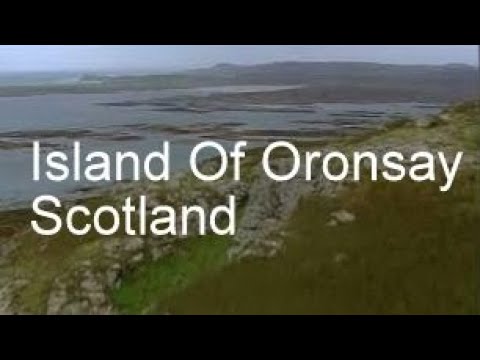
Island Of Oronsay With Music On History Visit To The Inner Hebrides Of Scotland
Tour Scotland short travel video clip, with Scottish music, of the Island of Oronsay , Scottish Gaelic: Orasaigh, a small tidal island ...
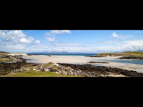
Coast And Beaches On Island Of Oronsay On History Visit To The Inner Hebrides Of Scotland
Tour Scotland travel video clip, with Scottish music, of the coast and beaches on ancestry, genealogy, history visit to Island of ...
High Cross On The Island Of Oronsay On History Visit To The Inner Hebrides Of Scotland
Tour Scotland 4K travel video clip, with Scottish music, of the High Cross by the Priory on the Island Of Oronsay, Scottish Gaelic: ...
Nearby Amenities
Located within 500m of 56.032114,-6.2528195Have you been to Caolas na Brathan?
Leave your review of Caolas na Brathan below (or comments, questions and feedback).