Sloc na Luinge
Sea, Estuary, Creek in Argyllshire
Scotland
Sloc na Luinge
The requested URL returned error: 429 Too Many Requests
If you have any feedback on the listing, please let us know in the comments section below.
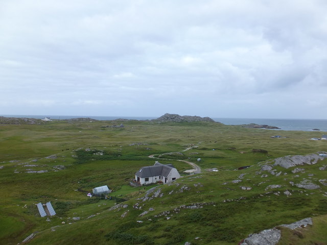
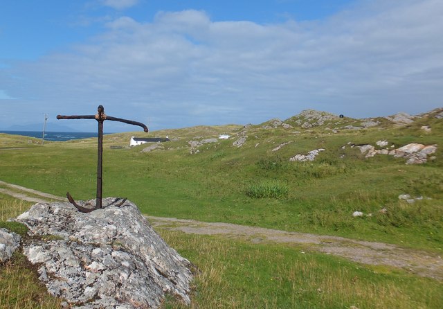
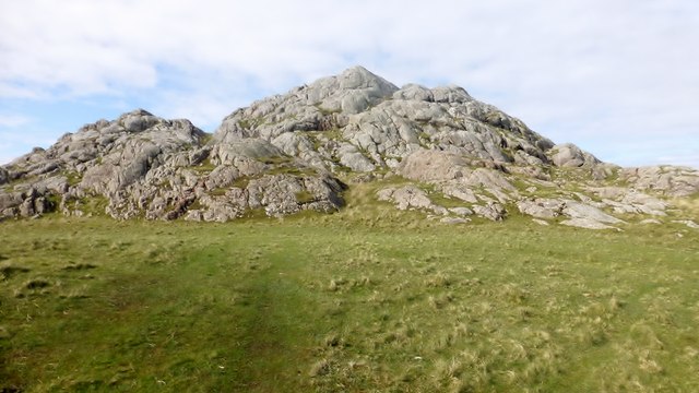
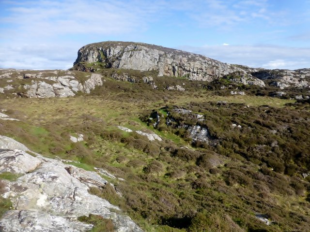
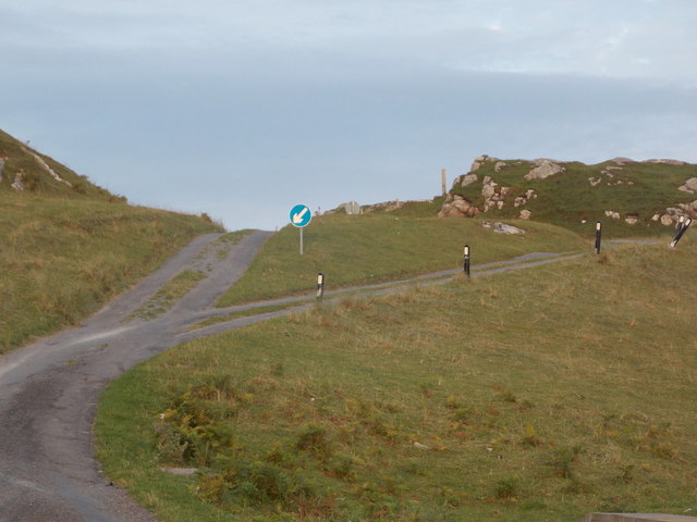
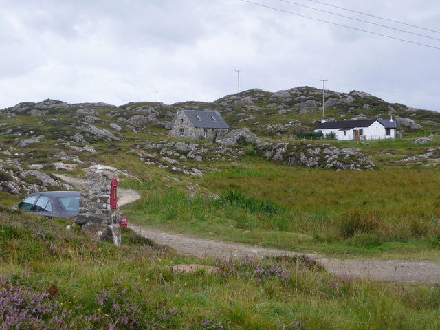
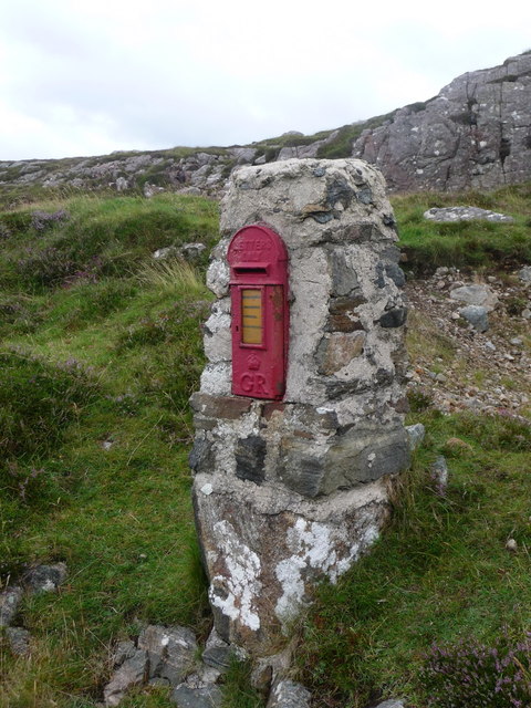
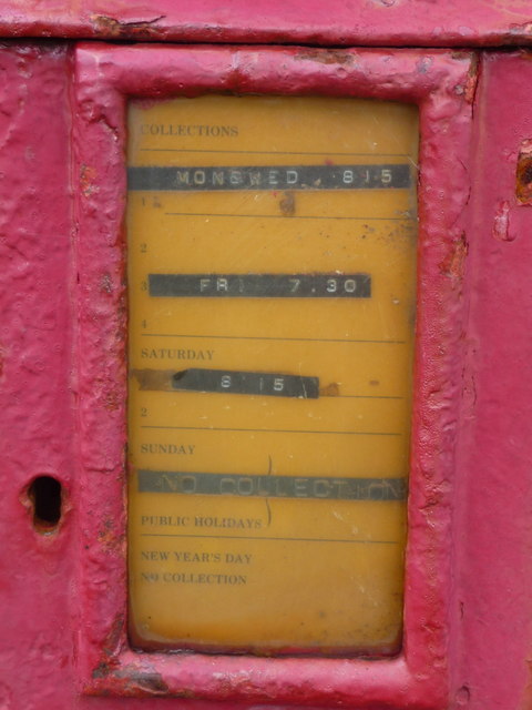
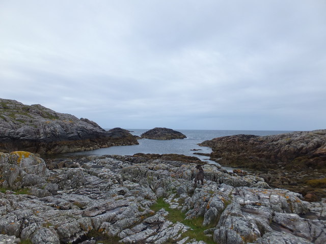
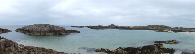
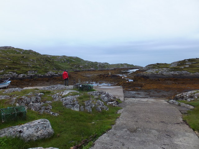
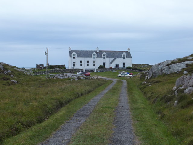
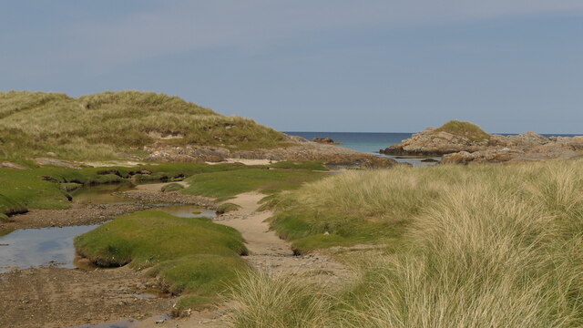
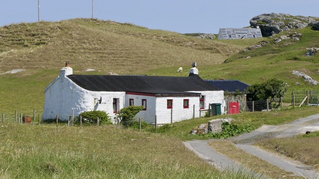
Sloc na Luinge Images
Images are sourced within 2km of 56.684982/-6.5045116 or Grid Reference NM2463. Thanks to Geograph Open Source API. All images are credited.


Sloc na Luinge is located at Grid Ref: NM2463 (Lat: 56.684982, Lng: -6.5045116)
Unitary Authority: Argyll and Bute
Police Authority: Argyll and West Dunbartonshire
What 3 Words
///evidence.jubilant.bracelet. Near Arinagour, Argyll & Bute
Nearby Locations
Related Wikis

Dùn Morbhaidh
Dùn Morbhaidh, also known as Dun Borbaidh, is a hill fort located on the Inner Hebridean island of Coll. The early 20th century antiquary Erskine Beveridge...

Cairns of Coll
The Cairns of Coll refers primarily to a region of rocky outcrops in shallow waters extending from the north end of the Island of Coll in the Inner Hebrides...

Coll
Coll (; Scottish Gaelic: Cola; Scots: Coll) is an island located west of the Isle of Mull in the Inner Hebrides of Scotland. Coll is known for its sandy...

Dùn Dubh
Dùn Dubh is a hillfort, located on the Inner Hebridean island of Coll. The fort is one of three associated with a local tradition which states that they...
Nearby Amenities
Located within 500m of 56.684982,-6.5045116Have you been to Sloc na Luinge?
Leave your review of Sloc na Luinge below (or comments, questions and feedback).