Port an Duine

Sea, Estuary, Creek in Argyllshire

Scotland

Port an Duine

Trig point at Calgary Point
Trig point at Calgary Point Credit: Peter Edwards

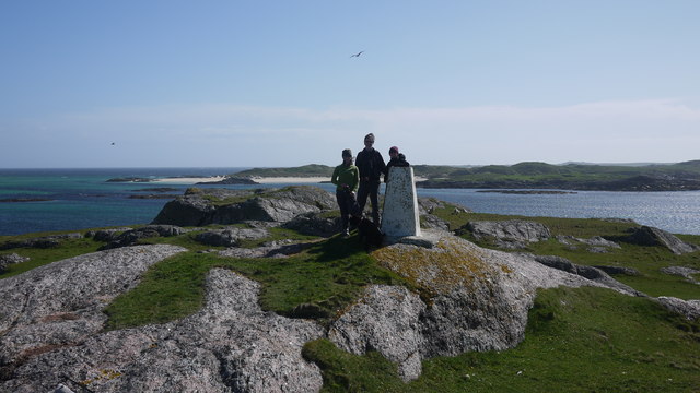
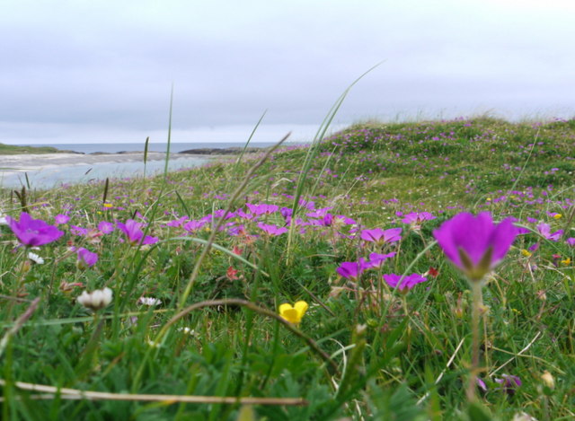
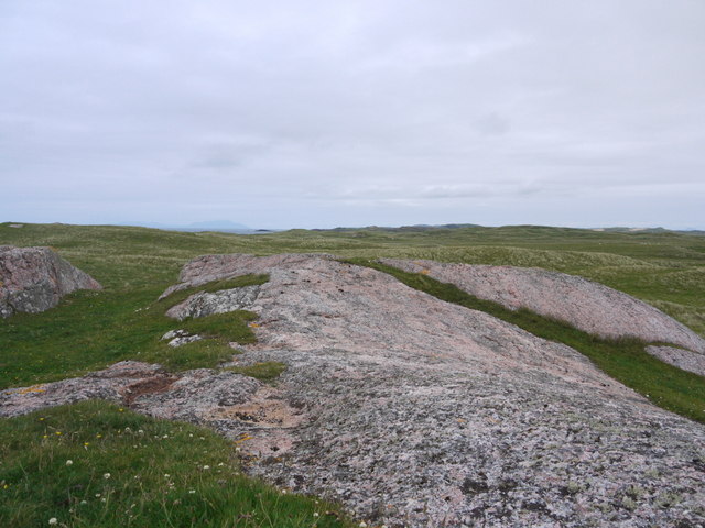
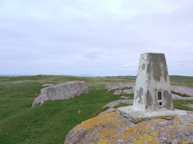
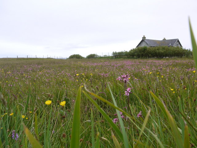
Port an Duine is a picturesque coastal area located in Argyllshire, Scotland. Nestled between rolling hills and the vast expanse of the sea, Port an Duine serves as a popular destination for both locals and tourists alike. It is renowned for its stunning natural beauty and rich maritime history.

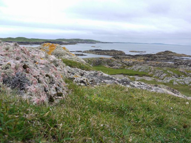
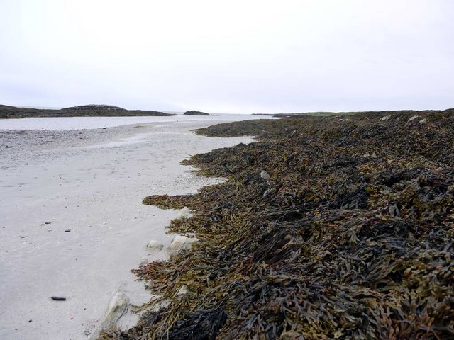
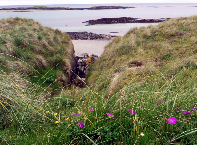
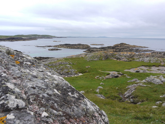
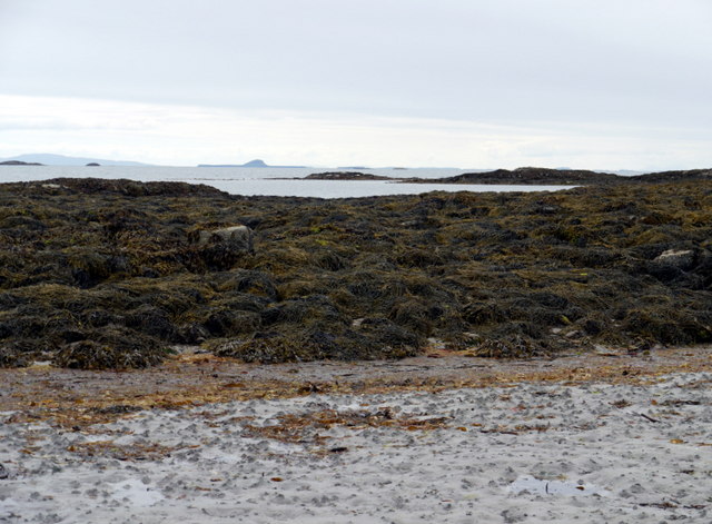
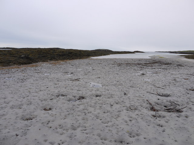
Situated on the shores of a deep estuary, the area is characterized by its calm and tranquil waters. The estuary serves as a natural harbor, providing shelter for numerous fishing boats and pleasure crafts. The sea in Port an Duine is teeming with marine life, making it a haven for fishing enthusiasts and wildlife lovers.

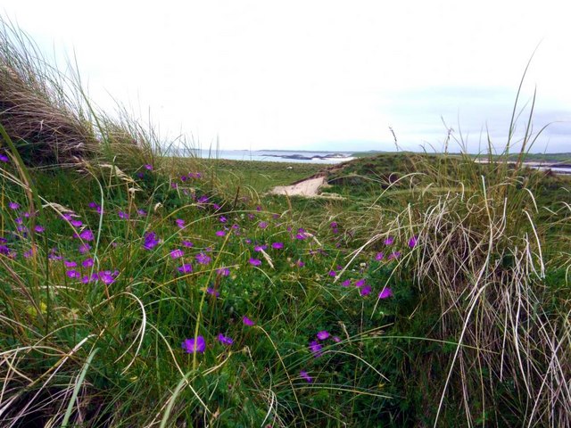
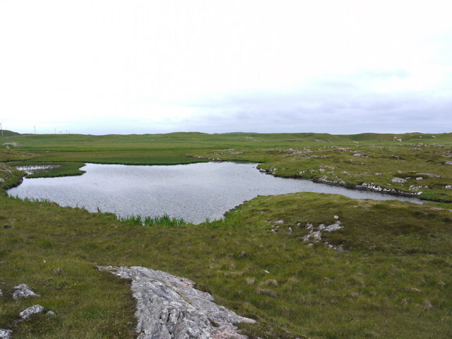
The area also boasts a charming creek, which winds its way through the landscape, creating a serene and idyllic atmosphere. The creek is home to a variety of flora and fauna, including wading birds and waterfowl. It offers a peaceful spot for visitors to relax and enjoy the beauty of nature.

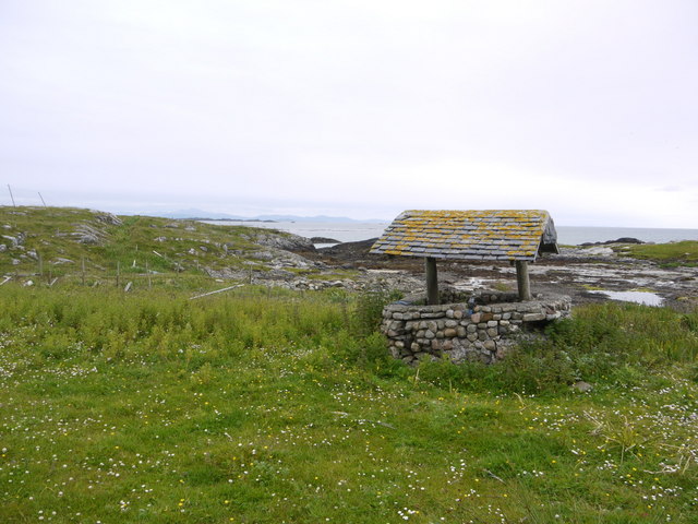
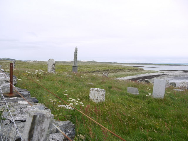
In addition to its natural wonders, Port an Duine is steeped in history. The area was once a bustling hub of maritime activity, with a thriving fishing industry and bustling trade routes. Remnants of its past can still be seen in the form of old stone quays and historic buildings, providing a glimpse into its rich heritage.

Overall, Port an Duine is a captivating destination that combines breathtaking natural scenery with a fascinating history. Whether one seeks to explore its tranquil waters, stroll along its scenic shores, or delve into its maritime past, this coastal gem has something to offer for everyone.

If you have any feedback on the listing, please let us know in the comments section below.

Port an Duine Images

Images are sourced within 2km of 56.569101/-6.6802969 or Grid Reference NM1251. Thanks to Geograph Open Source API. All images are credited.

Trig point at Calgary Point
Calgary Point Looking over to Gunna
Calgary Point
Looking over to Gunna
Low tide at the west end of Crossapol Bay Crossapol Bay is yet another of Coll's lovely sandy bays - about 2Km wide and there will probably only be you on it!
Low tide at the west end of Crossapol Bay
Crossapol Bay is yet another of Coll's lovely sandy bays - about 2Km wide and there will probably only be you on it!
Footpath sign on Coll Left to Crossapol Beach, right to Calgary Point and behind the photographer to Feall Beach.  There is waymarking on the path to Calgary Point but it is a little spasmodic (June 2011).
Footpath sign on Coll
Left to Crossapol Beach, right to Calgary Point and behind the photographer to Feall Beach. There is waymarking on the path to Calgary Point but it is a little spasmodic (June 2011).
The machair in bloom at Traigh Halum
Rocky inlet at Traigh Halum Bloody cranesbill, daisies and buttercups in bloom in the machair.
Rocky inlet at Traigh Halum
Bloody cranesbill, daisies and buttercups in bloom in the machair.
Exposed rock at Calgary Point The hills of Rum just visible in the distance.
Exposed rock at Calgary Point
The hills of Rum just visible in the distance.
The trig at Calgary Point The hills of Rum visible in the distance.
The trig at Calgary Point
The hills of Rum visible in the distance.
Calgary Point Looking over to the island of Gunna and, beyond that, Tiree.
Calgary Point
Looking over to the island of Gunna and, beyond that, Tiree.
Bloody cranesbill and dunes at Traigh nan Siolag Tiree in the distance.
Bloody cranesbill and dunes at Traigh nan Siolag
Tiree in the distance.
Lochan a' Chuirn
Lochan a' Chuirn
Well at Coales House Known by this name on the OS 50,000 mapping, but named "Walkers Cottage" on the 25,000 version.  This well has what appears to be a pump and waterpipe emerging so is not merely decorative.  Caoles House appears to be derelict.
Well at Coales House
Known by this name on the OS 50,000 mapping, but named "Walkers Cottage" on the 25,000 version. This well has what appears to be a pump and waterpipe emerging so is not merely decorative. Caoles House appears to be derelict.
Caoles House (aka Walkers Cottage) Seen over the machair in full bloom.
Caoles House (aka Walkers Cottage)
Seen over the machair in full bloom.
Burial ground at Crossapol According to "Guide to Coll" by Betty MacDougall, high tides wrought such havoc on this graveyard that it could no longer be used.
Burial ground at Crossapol
According to "Guide to Coll" by Betty MacDougall, high tides wrought such havoc on this graveyard that it could no longer be used.
Low tide at the west end of Crossapol Bay The central island in the distance is Bac Mor, better known as Dutchman's Cap.
Low tide at the west end of Crossapol Bay
The central island in the distance is Bac Mor, better known as Dutchman's Cap.
Low tide at the west end of Crossapol Bay
Low tide patterns at Traigh Gharbh
Low tide at Traigh Gharbh The house at Crossapol just showing in the distance.
Low tide at Traigh Gharbh
The house at Crossapol just showing in the distance.
Show me another place!

Port an Duine is located at Grid Ref: NM1251 (Lat: 56.569101, Lng: -6.6802969)

Unitary Authority: Argyll and Bute

Police Authority: Argyll and West Dunbartonshire

What 3 Words

///deprive.makeup.sedative. Near Scarinish, Argyll & Bute

Related Wikis

Gunna, Scotland

Gunna (Gaelic: Gunnaigh) is an island in the Inner Hebrides of Scotland. == Geography and geology == Gunna lies between Coll and Tiree, closer to Coll...

Breachacha crannog

The Breachacha crannog is a crannog located near Loch Breachacha, on the Inner Hebridean island of Coll. The crannog is recognised in the United Kingdom...

Breachacha Castle

Breachacha Castle (also spelled Breacachadh) is either of two structures on the shore of Loch Breachacha, on the Inner Hebridean island of Coll, Scotland...

Coll Airport

Coll Island Airport (IATA: COL, ICAO: EGEL) (Scottish Gaelic: Port-adhair Cholla) is located 5 NM (9.3 km; 5.8 mi) west southwest of Arinagour on the island...

Nearby Amenities

Located within 500m of 56.569101,-6.6802969
The data included in this document is from www.openstreetmap.org. The data is made available under ODbL.

Have you been to Port an Duine?

Leave your review of Port an Duine below (or comments, questions and feedback).