Port a' Mhùrain

Sea, Estuary, Creek in Argyllshire

Scotland

Port a' Mhùrain

Trig point at Calgary Point
Trig point at Calgary Point Credit: Peter Edwards

Port a' Mhùrain is a picturesque coastal village located in Argyllshire, Scotland. Situated on the western coast of the country, it is nestled between the stunning landscapes of the Scottish Highlands and the tranquil waters of the Atlantic Ocean. The name "Port a' Mhùrain" translates as "Harbor of the Moorings" in English, reflecting its historical significance as a busy port and fishing village.

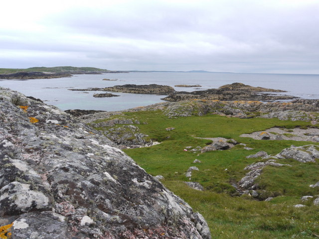
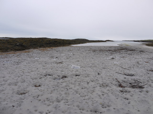
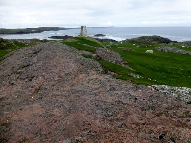
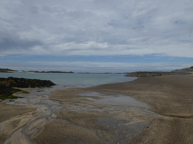
The village is blessed with a natural harbor, which serves as a gateway to the vast Atlantic. Sheltered by rocky cliffs and surrounded by rolling green hills, Port a' Mhùrain offers breathtaking views of the sea and the surrounding countryside. The estuary, known as Loch Mhùrain, is a haven for wildlife enthusiasts, as it is home to a diverse range of bird species, including herons, oystercatchers, and terns.

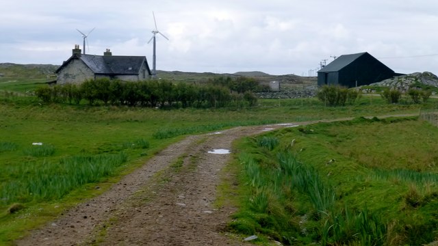
The village itself is a charming and idyllic place, with traditional whitewashed cottages and narrow winding streets. The local community is welcoming and friendly, with a strong sense of pride in their maritime heritage. Fishing remains an important industry in Port a' Mhùrain, and visitors can witness the bustling activity at the harbor as fishermen bring in their catches of fresh seafood.

For outdoor enthusiasts, the area offers a multitude of activities. From exploring the rugged coastline on foot, to sailing and kayaking in the crystal-clear waters, there is something for everyone to enjoy. The nearby hills and mountains provide ample opportunities for hiking and mountaineering, with panoramic views that are sure to take your breath away.

In summary, Port a' Mhùrain is a hidden gem on the Scottish coast, offering a unique blend of natural beauty, rich history, and outdoor adventures. Whether you are seeking tranquility, wildlife spotting, or an active holiday, this charming village has it all.

If you have any feedback on the listing, please let us know in the comments section below.

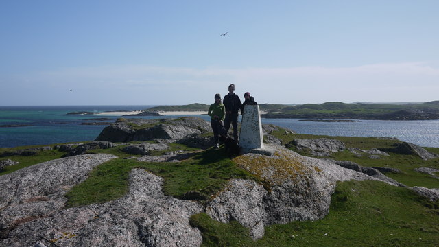
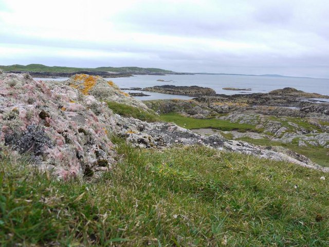
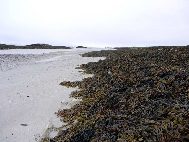
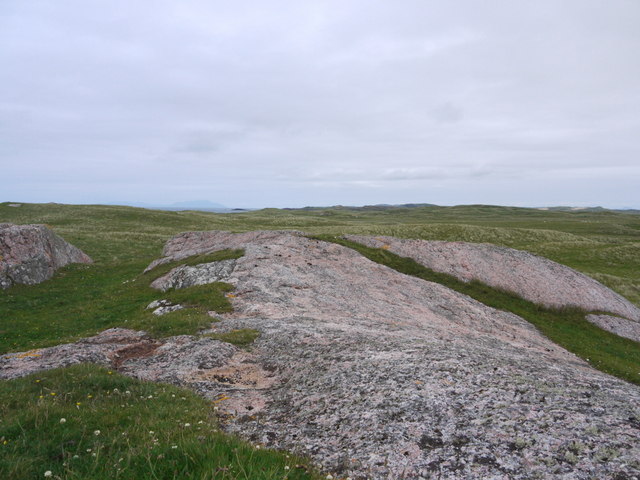
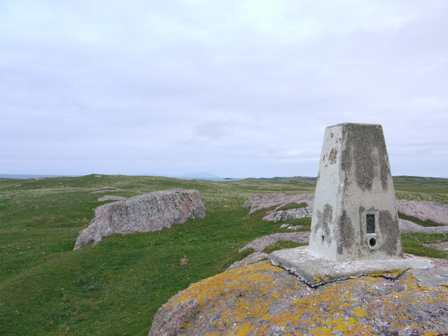
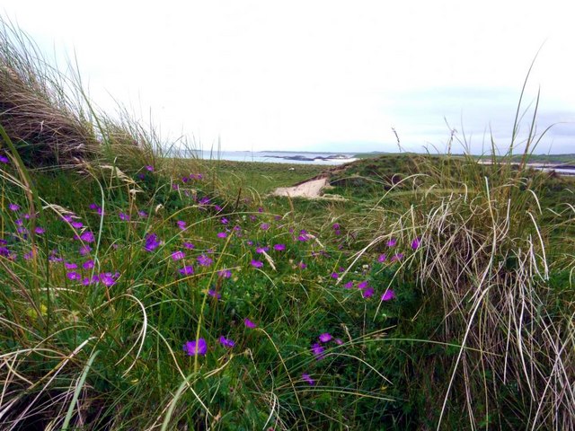
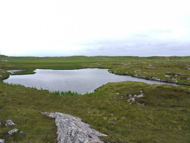
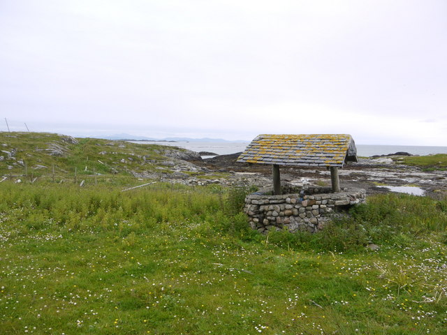
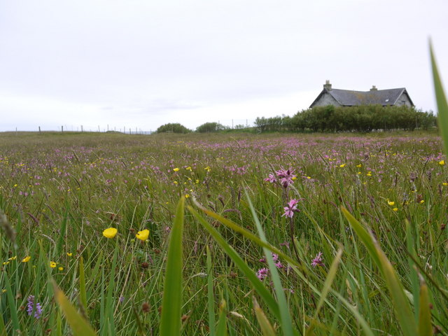
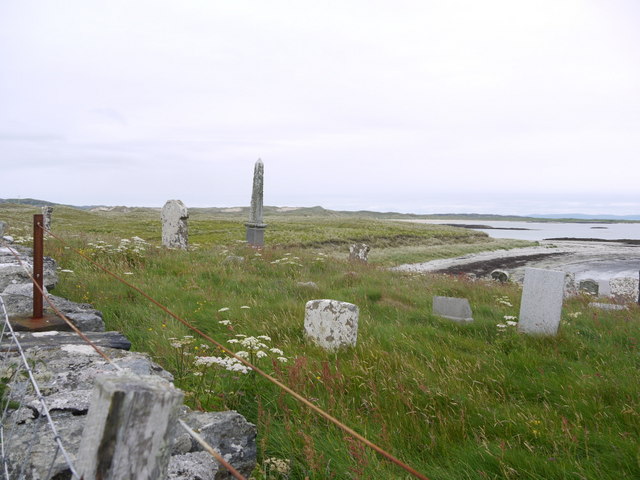
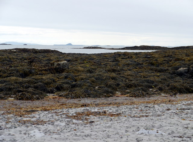
Port a' Mhùrain Images

Images are sourced within 2km of 56.564855/-6.6826717 or Grid Reference NM1251. Thanks to Geograph Open Source API. All images are credited.

Trig point at Calgary Point
Calgary Point Looking over to Gunna
Calgary Point
Looking over to Gunna
Low tide at the west end of Crossapol Bay Crossapol Bay is yet another of Coll's lovely sandy bays - about 2Km wide and there will probably only be you on it!
Low tide at the west end of Crossapol Bay
Crossapol Bay is yet another of Coll's lovely sandy bays - about 2Km wide and there will probably only be you on it!
Exposed rock at Calgary Point The hills of Rum just visible in the distance.
Exposed rock at Calgary Point
The hills of Rum just visible in the distance.
The trig at Calgary Point The hills of Rum visible in the distance.
The trig at Calgary Point
The hills of Rum visible in the distance.
Calgary Point Looking over to the island of Gunna and, beyond that, Tiree.
Calgary Point
Looking over to the island of Gunna and, beyond that, Tiree.
Bloody cranesbill and dunes at Traigh nan Siolag Tiree in the distance.
Bloody cranesbill and dunes at Traigh nan Siolag
Tiree in the distance.
Lochan a' Chuirn
Lochan a' Chuirn
Well at Coales House Known by this name on the OS 50,000 mapping, but named "Walkers Cottage" on the 25,000 version.  This well has what appears to be a pump and waterpipe emerging so is not merely decorative.  Caoles House appears to be derelict.
Well at Coales House
Known by this name on the OS 50,000 mapping, but named "Walkers Cottage" on the 25,000 version. This well has what appears to be a pump and waterpipe emerging so is not merely decorative. Caoles House appears to be derelict.
Caoles House (aka Walkers Cottage) Seen over the machair in full bloom.
Caoles House (aka Walkers Cottage)
Seen over the machair in full bloom.
Burial ground at Crossapol According to "Guide to Coll" by Betty MacDougall, high tides wrought such havoc on this graveyard that it could no longer be used.
Burial ground at Crossapol
According to "Guide to Coll" by Betty MacDougall, high tides wrought such havoc on this graveyard that it could no longer be used.
Low tide at the west end of Crossapol Bay The central island in the distance is Bac Mor, better known as Dutchman's Cap.
Low tide at the west end of Crossapol Bay
The central island in the distance is Bac Mor, better known as Dutchman's Cap.
Low tide at the west end of Crossapol Bay
Calgary Point Trig A view towards Calgary Point trig and across to Gunna
Calgary Point Trig
A view towards Calgary Point trig and across to Gunna
Crossapol Farm
Crossapol Farm
Walkers Cottage Walkers Cottage looks rather neglected now although the wind turbines look relatively new.
Walkers Cottage
Walkers Cottage looks rather neglected now although the wind turbines look relatively new.
Wind turbines near Crossapol,  Isle of Coll
Wind turbines near Crossapol, Isle of Coll
Beach on south west of Coll
Show me another place!

Port a' Mhùrain is located at Grid Ref: NM1251 (Lat: 56.564855, Lng: -6.6826717)

Unitary Authority: Argyll and Bute

Police Authority: Argyll and West Dunbartonshire

What 3 Words

///comments.trump.mats. Near Scarinish, Argyll & Bute

Related Wikis

Gunna, Scotland

Gunna (Gaelic: Gunnaigh) is an island in the Inner Hebrides of Scotland. == Geography and geology == Gunna lies between Coll and Tiree, closer to Coll...

Breachacha crannog

The Breachacha crannog is a crannog located near Loch Breachacha, on the Inner Hebridean island of Coll. The crannog is recognised in the United Kingdom...

Breachacha Castle

Breachacha Castle (also spelled Breacachadh) is either of two structures on the shore of Loch Breachacha, on the Inner Hebridean island of Coll, Scotland...

Coll Airport

Coll Island Airport (IATA: COL, ICAO: EGEL) (Scottish Gaelic: Port-adhair Cholla) is located 5 NM (9.3 km; 5.8 mi) west southwest of Arinagour on the island...

Nearby Amenities

Located within 500m of 56.564855,-6.6826717
Natural: rock
Source: OS7
Tidal: yes
Lat/Long: 56.5604024/-6.6831591
Natural: rock
Source: OS7
Tidal: yes
Lat/Long: 56.5606859/-6.6837092
Natural: rock
Source: OS7
Tidal: yes
Lat/Long: 56.5608884/-6.6842593
Natural: rock
Source: OS7
Tidal: yes
Lat/Long: 56.5611516/-6.6846994
Natural: rock
Source: OS7
Tidal: yes
Lat/Long: 56.5612934/-6.6856528
Natural: rock
Source: OS7
Tidal: yes
Lat/Long: 56.5625893/-6.6858362
Natural: rock
Source: OS7
Tidal: yes
Lat/Long: 56.5632778/-6.6843327
Natural: rock
Source: OS7
Tidal: yes
Lat/Long: 56.5626298/-6.6819123
Natural: rock
Source: OS7
Tidal: yes
Lat/Long: 56.5643509/-6.684296
Natural: rock
Source: OS7
Tidal: yes
Lat/Long: 56.5637637/-6.6852128
Natural: rock
Source: OS7
Tidal: yes
Lat/Long: 56.562245/-6.6873764
The data included in this document is from www.openstreetmap.org. The data is made available under ODbL.

Have you been to Port a' Mhùrain?

Leave your review of Port a' Mhùrain below (or comments, questions and feedback).