Port a' Mhaidhe

Sea, Estuary, Creek in Argyllshire

Scotland

Port a' Mhaidhe

Tiree filling station By the shop at Crossapol.
Tiree filling station Credit: Richard Webb

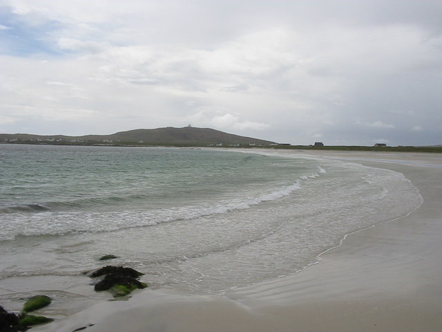
Port a' Mhaidhe is a picturesque coastal village located in Argyllshire, Scotland. Situated on the western coast, it is nestled between the stunning natural landscapes of the Sea of the Hebrides, an estuary, and a small creek. The village is renowned for its breathtaking views of the sea, offering visitors a serene and idyllic setting.

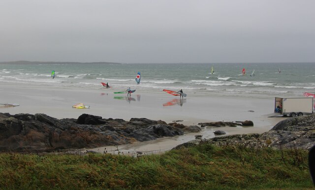
The Sea of the Hebrides, which borders Port a' Mhaidhe, is a vast body of water known for its crystal-clear blue waters and diverse marine life. The sea provides a habitat for various species of fish, making it a popular destination for anglers and sea fishing enthusiasts. It also offers opportunities for water sports such as sailing, kayaking, and windsurfing, attracting adventure seekers and nature lovers alike.

Adjacent to the village is an estuary, which serves as a vital ecosystem for numerous species of birds, including herons, oystercatchers, and waders. This estuary is a haven for birdwatchers and provides a tranquil environment for those looking to observe and appreciate the rich birdlife.

Lastly, a small creek flows through Port a' Mhaidhe, adding to its charm and natural beauty. The creek offers a peaceful and relaxing atmosphere, with its gentle flow and surrounding greenery. Visitors can enjoy leisurely walks along its banks, taking in the sights and sounds of the surrounding flora and fauna.

Overall, Port a' Mhaidhe in Argyllshire is a gem of a coastal village, offering a harmonious blend of the sea, estuary, and creek. Its natural beauty, along with its abundance of outdoor activities, makes it an enchanting destination for nature enthusiasts and those seeking a tranquil escape.

If you have any feedback on the listing, please let us know in the comments section below.

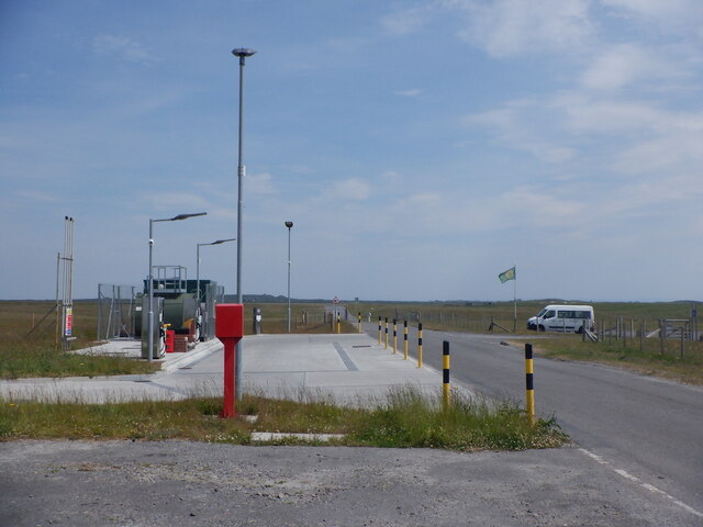
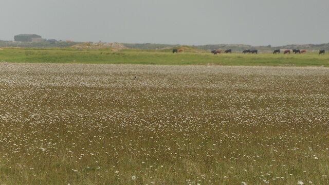
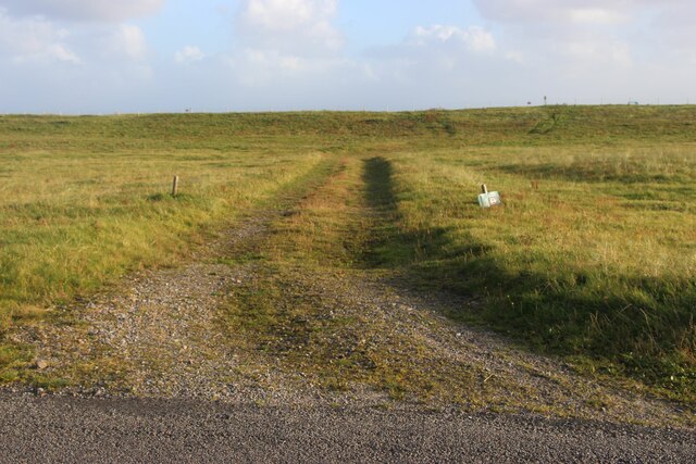
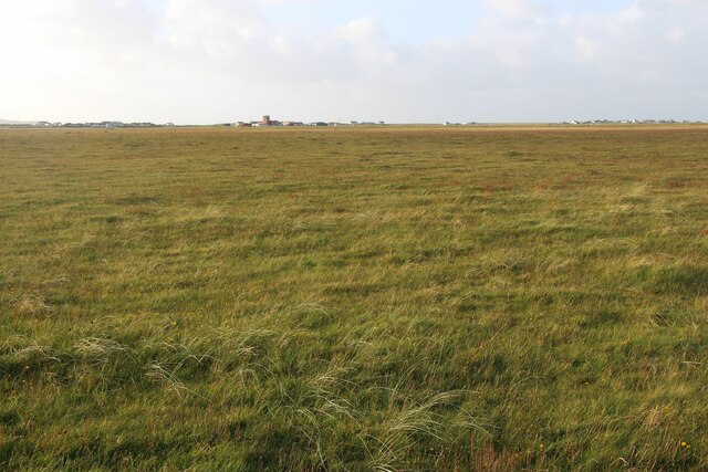
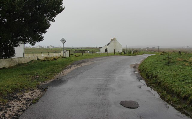
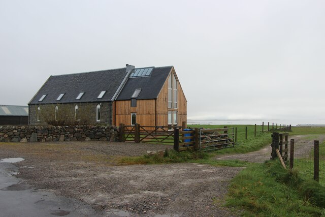
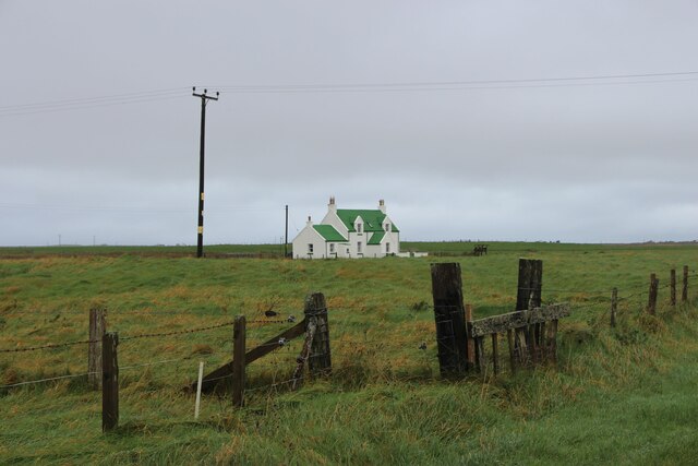
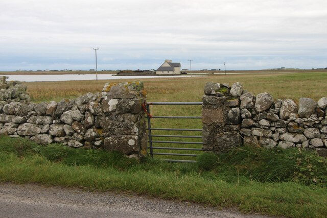
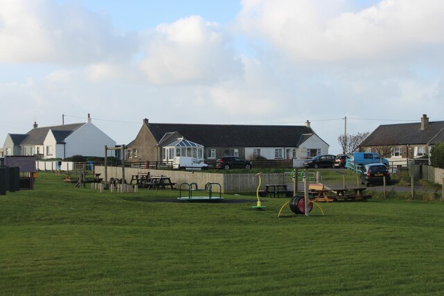
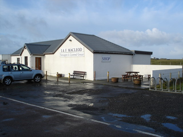
Port a' Mhaidhe Images

Images are sourced within 2km of 56.483462/-6.8780831 or Grid Reference NL9943. Thanks to Geograph Open Source API. All images are credited.

Tiree filling station By the shop at Crossapol.
Tiree filling station
By the shop at Crossapol.
Machair, Tiree Full of waders and their chicks.  A vast flat area behind Tràigh Bhàgh.
Machair, Tiree
Full of waders and their chicks. A vast flat area behind Tràigh Bhàgh.
Track to the beach at Crossapol
Flat interior of Tiree Airport buildings in the background.
Flat interior of Tiree
Airport buildings in the background.
Road through Balemartine
Craignis, a church conversion
Isolated house at Balemartine
Surfers at Traigh Bhaigh
Island House, Crossapol
Playground and housing, Crossapol
Tràigh Shorobaidh
Tràigh Shorobaidh
Newsagent and Licensed Grocer in Crossapol As far as I could establish the only newsagent on Tiree.  The papers come in on the plane, so you get them just after lunch.  There is no plane on Sunday, so double paper ration on Monday.
Newsagent and Licensed Grocer in Crossapol
As far as I could establish the only newsagent on Tiree. The papers come in on the plane, so you get them just after lunch. There is no plane on Sunday, so double paper ration on Monday.
Mystery object on Traigh Bhagh Rocky outcropt on the beach, with the dunes and Crossapol in the background.
Mystery object on Traigh Bhagh
Rocky outcropt on the beach, with the dunes and Crossapol in the background.
Loch an Eilein The house, Island House, stands on what was the island in the loch.  It has been suggested that island was a crannog, and in the 15th century a fortified castle stood on the island.  The current house was built in 1748 by the Earl of Argyll, and is now owned by the Duke of Argyll.
Loch an Eilein
The house, Island House, stands on what was the island in the loch. It has been suggested that island was a crannog, and in the 15th century a fortified castle stood on the island. The current house was built in 1748 by the Earl of Argyll, and is now owned by the Duke of Argyll.
Moorland in the middle of Tiree There is a fair amount of this kind of terrain away from the coast on Tiree.  Long tussocky grass, interspersed with a fair amunt of the wet water, but then it has been wet lately.
Moorland in the middle of Tiree
There is a fair amount of this kind of terrain away from the coast on Tiree. Long tussocky grass, interspersed with a fair amunt of the wet water, but then it has been wet lately.
Airport complex Tiree Taken at the main entrance, the red building in the background is the control tower.
Airport complex Tiree
Taken at the main entrance, the red building in the background is the control tower.
Tràigh Shorobaidh Heavy seas coming onto the beach after a couple of days of really strong winds.
Tràigh Shorobaidh
Heavy seas coming onto the beach after a couple of days of really strong winds.
Tiree airport on The Reef The planes bring the newspapers to the Island, and the picture is taken from next to the newsagents.  The papers get quickly from the airport, but at this time of the year the plane gets in shortly before midday.  Not long to complete the Times Sudoko and submit it by the deadline for the prize draw!
Tiree airport on The Reef
The planes bring the newspapers to the Island, and the picture is taken from next to the newsagents. The papers get quickly from the airport, but at this time of the year the plane gets in shortly before midday. Not long to complete the Times Sudoko and submit it by the deadline for the prize draw!
Show me another place!

Port a' Mhaidhe is located at Grid Ref: NL9943 (Lat: 56.483462, Lng: -6.8780831)

Unitary Authority: Argyll and Bute

Police Authority: Argyll and West Dunbartonshire

What 3 Words

///surely.manliness.pursue. Near Scarinish, Argyll & Bute

Nearby Locations

Port a' Mhaidhe Crossapol

Related Wikis

Tiree Music Festival

Tiree Music Festival is a Scottish folk music festival held annually on the Island of Tiree in the Inner Hebrides. The festival was founded in 2010 by...
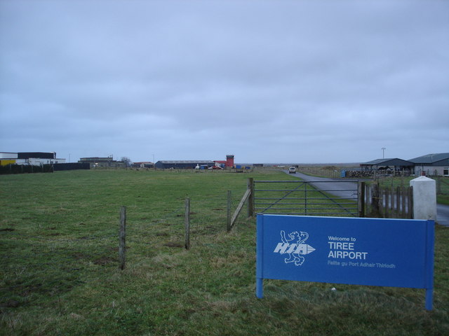
Tiree Airport

Tiree Airport (Scottish Gaelic: Port-adhair Thiriodh) (IATA: TRE, ICAO: EGPU) is located 2.5 nautical miles (4.6 km; 2.9 mi) north northeast of Balemartine...

Mannal

Mannal is a coastal hamlet on the west side of Hynish Bay, on the island of Tiree, Scotland. The township of Mannal lies on the southwest corner of Tiree...

Scarinish

Scarinish (Scottish Gaelic: Sgairinis [ˈs̪kaɾʲɪnɪʃ]) is the main village on the island of Tiree, in the Inner Hebrides of Scotland. It is located on the...

Tiree

Tiree (; Scottish Gaelic: Tiriodh, pronounced [ˈtʲʰiɾʲəɣ]) is the most westerly island in the Inner Hebrides of Scotland. The low-lying island, southwest...

Dun Mor Vaul

Dun Mor Vaul (or simply Dun Mor; Scottish Gaelic: Dùn Mòr) is an iron-age broch located on the north coast of the island of Tiree, in Scotland. ��2�...

Nearby Amenities

Located within 500m of 56.483462,-6.8780831
Barrier: cattle_grid
Lat/Long: 56.4837577/-6.8814729
Entrance: yes
Lat/Long: 56.4839529/-6.8812841
Generator Method: wind_turbine
Generator Output Electricity: 6.5 kW
Generator Source: wind
Power: generator
Lat/Long: 56.484033/-6.8820774
Barrier: cattle_grid
Bicycle: yes
Foot: yes
Vehicle: yes
Lat/Long: 56.4848221/-6.8799423
Power: pole
Lat/Long: 56.4815346/-6.8852633
Power: pole
Lat/Long: 56.4843814/-6.8830777
Power: pole
Lat/Long: 56.4846799/-6.8840533
Power: pole
Lat/Long: 56.4849598/-6.8850584
Power: pole
Lat/Long: 56.486521/-6.8794478
Power: pole
Lat/Long: 56.4868253/-6.8797265
Power: pole
Lat/Long: 56.487196/-6.8800306
Power: pole
Lat/Long: 56.4876764/-6.8804297
Crossapol
Capacity: 3
Drinking Water: no
Note: Tiree Croft Site
Power Supply: no
Ref: 3
Surface: grass
Tourism: camp_pitch
Website: https://www.isleoftiree.com/croft-camping
Lat/Long: 56.4845529/-6.8798232
The data included in this document is from www.openstreetmap.org. The data is made available under ODbL.

Have you been to Port a' Mhaidhe?

Leave your review of Port a' Mhaidhe below (or comments, questions and feedback).