Corraigeo
Sea, Estuary, Creek in Ross-shire
Scotland
Corraigeo
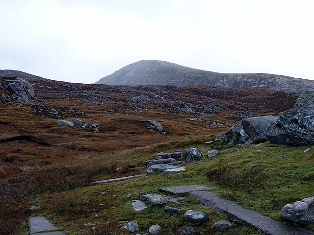
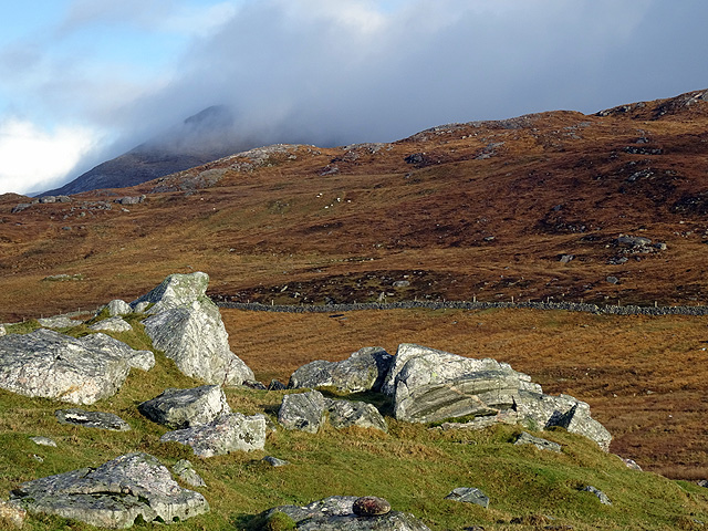
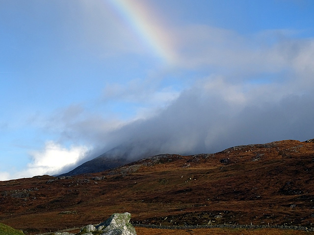
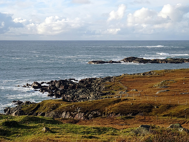
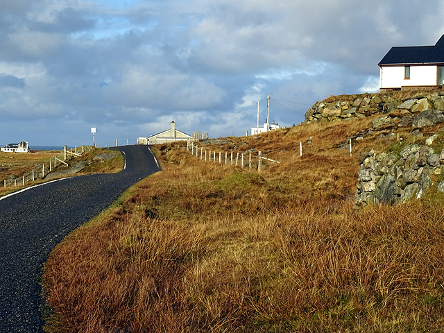
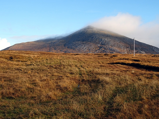
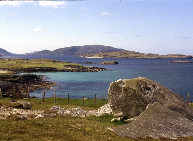
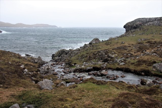
Corraigeo is a picturesque coastal settlement located in Ross-shire, Scotland. Situated on the east coast of the country, it is nestled between the sea, estuary, and creek, offering a unique and diverse natural environment.
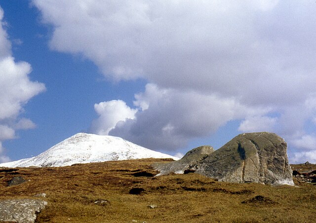
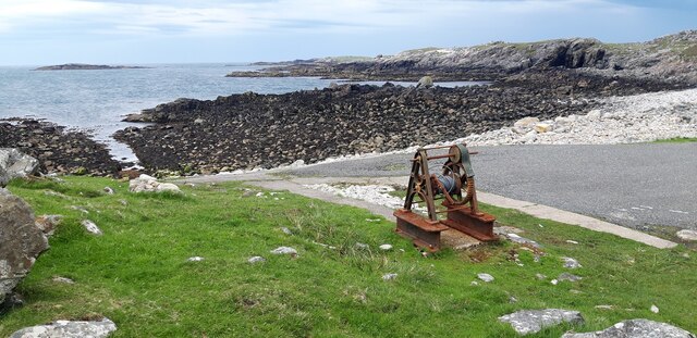
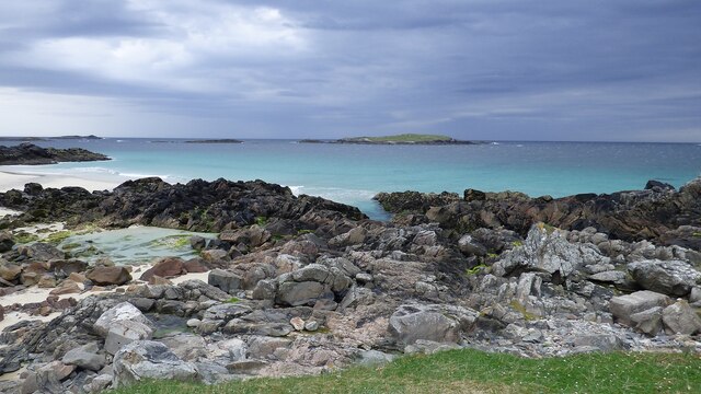
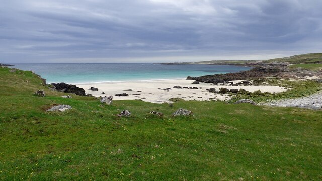
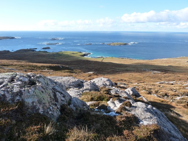
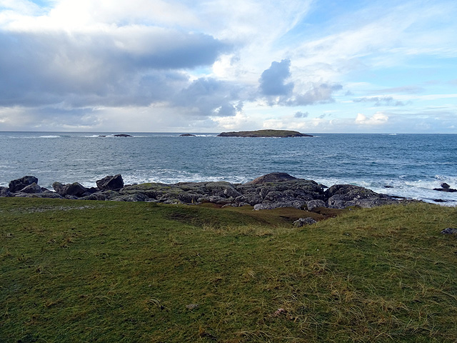
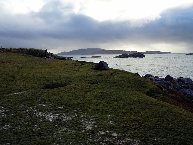
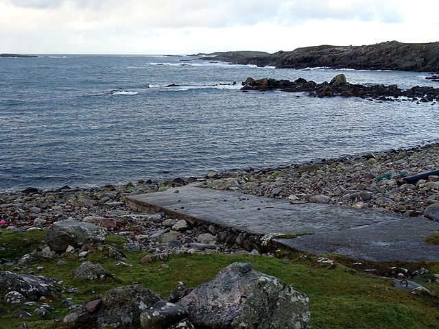
The sea surrounding Corraigeo is known for its breathtaking beauty. The coastline boasts stunning cliffs and rocky outcrops, providing a dramatic backdrop to the village. The crystal-clear waters are perfect for water activities such as swimming, snorkeling, and fishing. The sea also offers a peaceful atmosphere, making it an ideal spot for leisurely walks along the shore.
The estuary, located nearby, is an important ecosystem teeming with wildlife. It is home to a variety of bird species, including herons, gulls, and oystercatchers. The estuary's mudflats and marshes provide an excellent habitat for wading birds and other coastal creatures. Nature enthusiasts can observe the diverse birdlife while enjoying the tranquil surroundings.
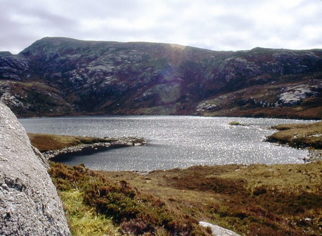
Corraigeo is also blessed with a charming creek that meanders through the village. The creek, fed by freshwater streams, creates an idyllic setting. Its banks are lined with lush vegetation, including wildflowers and native trees. The creek offers a peaceful retreat for visitors, who can enjoy the soothing sounds of flowing water and the sight of ducks and other water-dwelling creatures.
In summary, Corraigeo in Ross-shire presents a harmonious blend of sea, estuary, and creek. This coastal settlement offers a wealth of natural beauty, from the dramatic cliffs and clear waters of the sea to the diverse wildlife of the estuary and the tranquility of the meandering creek. It is a haven for nature lovers and a place to unwind and connect with the stunning Scottish coastline.
If you have any feedback on the listing, please let us know in the comments section below.
Corraigeo Images
Images are sourced within 2km of 58.110179/-7.1120286 or Grid Reference NA9924. Thanks to Geograph Open Source API. All images are credited.
Corraigeo is located at Grid Ref: NA9924 (Lat: 58.110179, Lng: -7.1120286)
Unitary Authority: Na h-Eileanan an Iar
Police Authority: Highlands and Islands
What 3 Words
///maple.factored.expose. Near Carloway, Na h-Eileanan Siar
Nearby Locations
Related Wikis

Mealista
Mealista (Scottish Gaelic: Mealasta) was a township in the west of the Isle of Lewis. It is currently largely uninhabited due to the Highland Clearances...

Game pieces of the Lewis chessmen hoard
Game pieces of the Lewis chessmen hoard include the ninety-three game pieces of the Lewis chessmen hoard found on the Isle of Lewis in the Outer Hebrides...

Brenish
Brenish (Scottish Gaelic: Brèinis) is a small village situated on the west coast of the Isle of Lewis, which is part of the Outer Hebrides of Scotland...

Eilean Mhealasta
Eilean Mhealasta (Mealista Island) is an uninhabited island off the west coast of Lewis in the Outer Hebrides of Scotland. It takes its name from Mealista...
Gasker
Gasker is a small uninhabited islet in the Outer Hebrides of Scotland, 8 kilometres (4+1⁄2 nautical miles) southwest of Scarp, off the west coast of Harris...

Stac Dhòmhnaill Chaim
Stac Dhòmnuill Chaim, or Stac Dhòmhnaill Chaim, or Stac Domhnuill Chaim, is a fortified promontory located near Mangursta (or Mangersta, Scottish Gaelic...

Abhainn Dearg distillery
Abhainn Dearg distillery ( AV-in JAIRG) or Red River distillery is a Scotch whisky distillery in Uig, on the west coast of the Isle of Lewis in the Outer...

Ardroil
Ardroil (Scottish Gaelic: Eadar Dhà Fhadhail) is a village on the Isle of Lewis in the Outer Hebrides, Scotland. Ardroil is within the parish of Uig....
Nearby Amenities
Located within 500m of 58.110179,-7.1120286Have you been to Corraigeo?
Leave your review of Corraigeo below (or comments, questions and feedback).