An Geodha

Sea, Estuary, Creek in Argyllshire

Scotland

An Geodha

Road junction, Balevullin
Road junction, Balevullin Credit: Richard Webb

An Geodha, located in Argyllshire, Scotland, is a picturesque coastal area renowned for its stunning sea, estuary, and creek. Nestled amidst the rugged beauty of the Scottish Highlands, An Geodha offers a diverse and unique natural landscape.

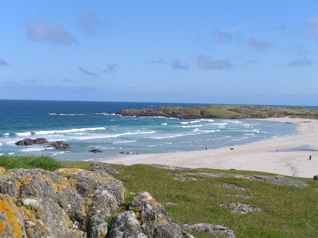
The sea surrounding An Geodha boasts crystal-clear azure waters, creating a serene and tranquil atmosphere. It is home to a rich marine ecosystem, teeming with various species of fish, dolphins, seals, and even occasional sightings of whales. The sea provides ample opportunities for water-based activities such as swimming, snorkeling, and sailing, attracting both locals and tourists alike.

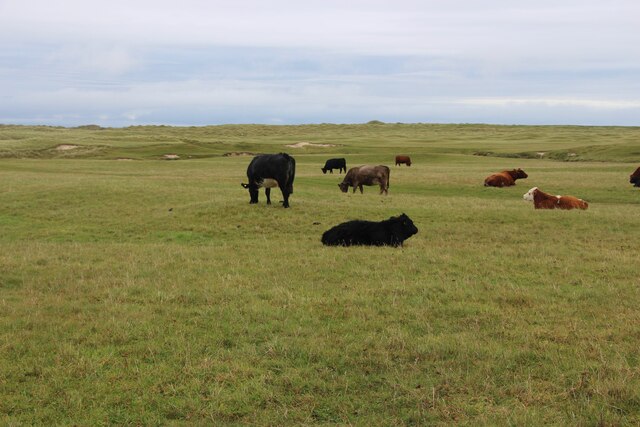
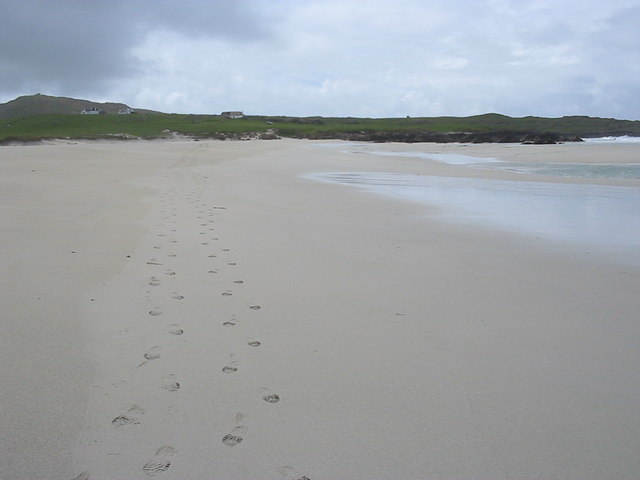
The estuary of An Geodha is a natural wonder, where a river meets the sea. This convergence creates a dynamic environment, with ever-changing tides and currents. The estuary serves as a critical habitat for numerous bird species, making it a popular spot for birdwatching enthusiasts. Visitors can witness flocks of migratory birds, including gulls, herons, and oystercatchers, as they feed and rest in the estuary.

A prominent feature of An Geodha is its meandering creek, which winds its way through the landscape. Surrounded by lush vegetation and towering cliffs, the creek offers a tranquil escape from the hustle and bustle of everyday life. It is a haven for wildlife, with otters frequently spotted playing in its clear waters. The creek also provides a perfect setting for leisurely walks and picnics, allowing visitors to fully immerse themselves in the natural beauty of the area.

In summary, An Geodha in Argyllshire is a captivating coastal region, where the sea, estuary, and creek harmoniously coexist. Its breathtaking scenery, diverse wildlife, and abundance of outdoor activities make it a must-visit destination for nature enthusiasts and those seeking a peaceful retreat.

If you have any feedback on the listing, please let us know in the comments section below.
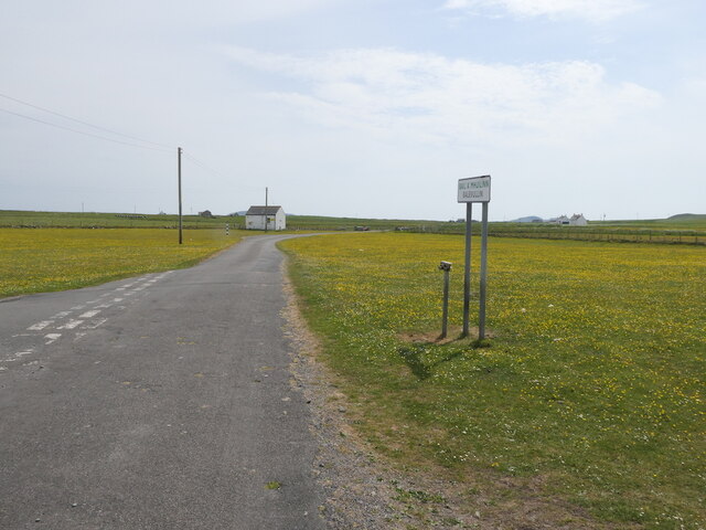
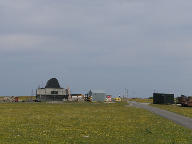
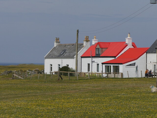
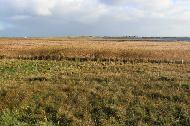
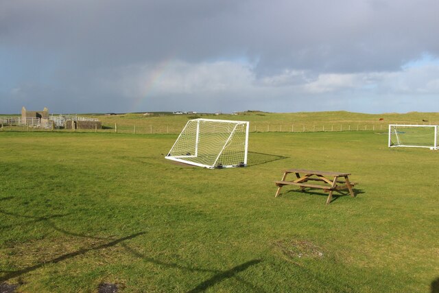
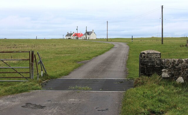
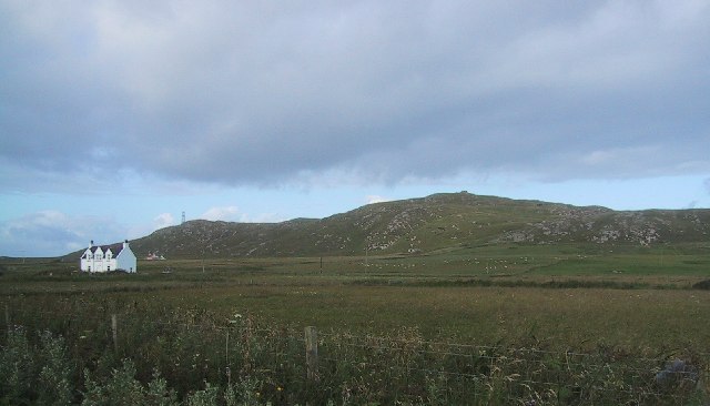
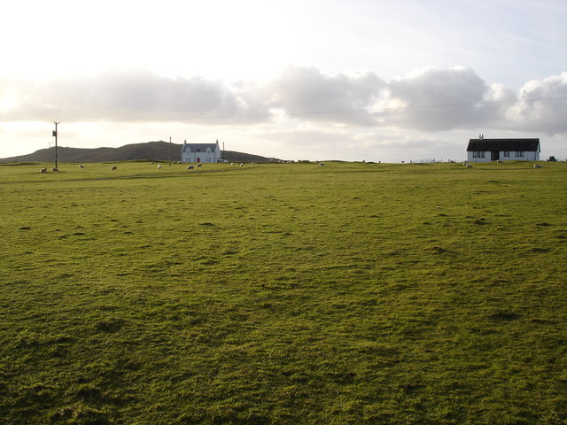
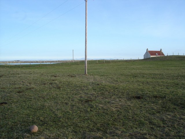
An Geodha Images

Images are sourced within 2km of 56.529591/-6.9434299 or Grid Reference NL9648. Thanks to Geograph Open Source API. All images are credited.

Road junction, Balevullin
Construction, Balevulin Renovation and extension of a cottage with a traditional Tiree roof.
Construction, Balevulin
Renovation and extension of a cottage with a traditional Tiree roof.
Balevullin
Balevullin
Reed-beds that border Loch Bhasapoll
A playing field at Tiree High School
Cattle grid at Sràid Ruadh
Cattle grazing at Sràid Ruadh
Windsurfing on Loch Bhasapoli, Tiree
Traigh Bail, Tiree
Traigh Bail, Tiree
Ben Hough WWII Chain Home Low radar station on right hand peak and CAA radio station on left hand peak
Ben Hough
WWII Chain Home Low radar station on right hand peak and CAA radio station on left hand peak
Two people windsurfing Windsurfing on Loch Bhasapoli, Tiree
Two people windsurfing
Windsurfing on Loch Bhasapoli, Tiree
Loch Bhasapoll
Loch Bhasapoll
Footsteps on Traigh Bail' a Mhuilinn
Sheep grazing machair Contrast of the modern bungalow next to the older style croft house.  Not that Tiree has the number of bungalow that can be seen in much of the highlands.
Sheep grazing machair
Contrast of the modern bungalow next to the older style croft house. Not that Tiree has the number of bungalow that can be seen in much of the highlands.
Carachan grazing land Loch Bhasapoll can be seen lurking in the background.
Carachan grazing land
Loch Bhasapoll can be seen lurking in the background.
The Green Formerly an Inn used by the east coast fishermen.
The Green
Formerly an Inn used by the east coast fishermen.
Tràigh Chornaig Pretty much all the land in the square visible.  Dunes with plenty of marram grass back onto this beach.
Tràigh Chornaig
Pretty much all the land in the square visible. Dunes with plenty of marram grass back onto this beach.
View from the bridge across the fields to the School The river drains Loch Bhasapoll into Port Fada.  In the background is the only school on Tiree.
View from the bridge across the fields to the School
The river drains Loch Bhasapoll into Port Fada. In the background is the only school on Tiree.
Show me another place!

An Geodha is located at Grid Ref: NL9648 (Lat: 56.529591, Lng: -6.9434299)

Unitary Authority: Argyll and Bute

Police Authority: Argyll and West Dunbartonshire

What 3 Words

///grandson.recording.blushed. Near Scarinish, Argyll & Bute

Related Wikis

Tiree Airport

Tiree Airport (Scottish Gaelic: Port-adhair Thiriodh) (IATA: TRE, ICAO: EGPU) is located 2.5 nautical miles (4.6 km; 2.9 mi) north northeast of Balemartine...

Tiree Music Festival

Tiree Music Festival is a Scottish folk music festival held annually on the Island of Tiree in the Inner Hebrides. The festival was founded in 2010 by...

Tiree

Tiree (; Scottish Gaelic: Tiriodh, pronounced [ˈtʲʰiɾʲəɣ]) is the most westerly island in the Inner Hebrides of Scotland. The low-lying island, southwest...

Dun Mor Vaul

Dun Mor Vaul (or simply Dun Mor; Scottish Gaelic: Dùn Mòr) is an iron-age broch located on the north coast of the island of Tiree, in Scotland. ��2�...

Nearby Amenities

Located within 500m of 56.529591,-6.9434299
Created By: dmgroom_coastlines
Source: PGS
Lat/Long: 56.52834/-6.95102
Created By: dmgroom_coastlines
Source: PGS
Lat/Long: 56.52859/-6.95054
Created By: dmgroom_coastlines
Source: PGS
Lat/Long: 56.5291/-6.95052
Created By: dmgroom_coastlines
Source: PGS
Lat/Long: 56.52936/-6.95073
Created By: dmgroom_coastlines
Source: PGS
Lat/Long: 56.52922/-6.94981
Created By: dmgroom_coastlines
Source: PGS
Lat/Long: 56.52921/-6.94935
Created By: dmgroom_coastlines
Source: PGS
Lat/Long: 56.5292/-6.94889
Created By: dmgroom_coastlines
Source: PGS
Lat/Long: 56.52917/-6.94704
Created By: dmgroom_coastlines
Source: PGS
Lat/Long: 56.52942/-6.94656
Created By: dmgroom_coastlines
Source: PGS
Lat/Long: 56.52966/-6.94562
Created By: dmgroom_coastlines
Source: PGS
Lat/Long: 56.52964/-6.94423
Created By: dmgroom_coastlines
Source: PGS
Lat/Long: 56.52937/-6.94332
Created By: dmgroom_coastlines
Source: PGS
Lat/Long: 56.52923/-6.94286
Created By: dmgroom_coastlines
Source: PGS
Lat/Long: 56.52974/-6.94284
Created By: dmgroom_coastlines
Source: PGS
Lat/Long: 56.52961/-6.94238
Created By: dmgroom_coastlines
Source: PGS
Lat/Long: 56.52959/-6.94145
Created By: dmgroom_coastlines
Source: PGS
Lat/Long: 56.52983/-6.94051
Created By: dmgroom_coastlines
Source: PGS
Lat/Long: 56.52983/-6.94005
Created By: dmgroom_coastlines
Source: PGS
Lat/Long: 56.52981/-6.93912
Created By: dmgroom_coastlines
Source: PGS
Lat/Long: 56.52992/-6.93819
Created By: dmgroom_coastlines
Source: PGS
Lat/Long: 56.5294/-6.93822
Created By: dmgroom_coastlines
Source: PGS
Lat/Long: 56.52952/-6.93728
Created By: dmgroom_coastlines
Source: PGS
Lat/Long: 56.52977/-6.93681
The data included in this document is from www.openstreetmap.org. The data is made available under ODbL.

Have you been to An Geodha?

Leave your review of An Geodha below (or comments, questions and feedback).