Sound of Insh

Sea, Estuary, Creek in Argyllshire

Scotland

Sound of Insh

Dubh-Sgeir at high tide From the MV Hebridean Isles on a journey from Oban to Colonsay.
Dubh-Sgeir at high tide Credit: Andrew Abbott

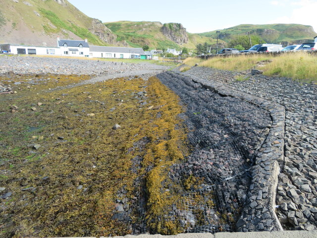
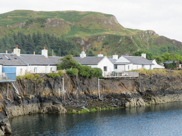
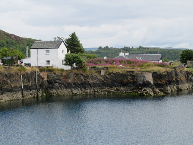
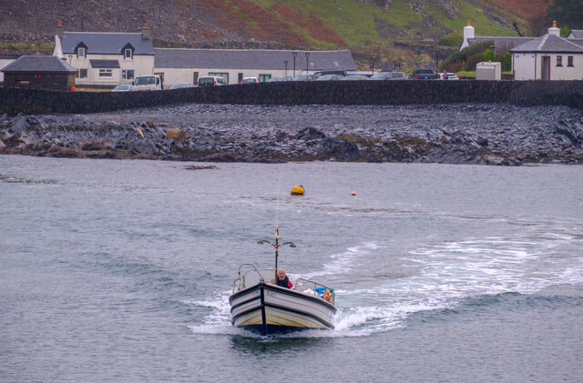
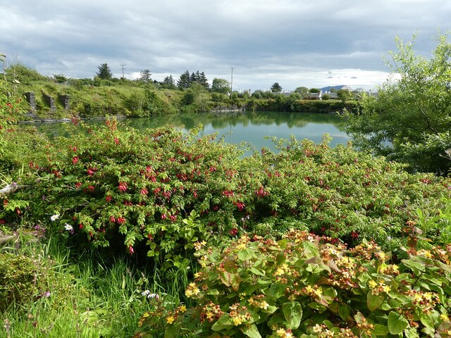
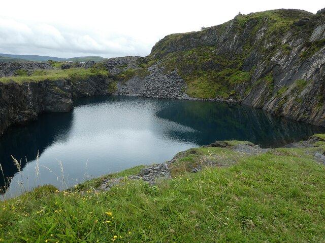
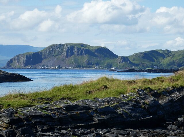
The Sound of Insh is a body of water located in Argyllshire, Scotland. It is a sea inlet that forms part of the larger Loch Fyne, which is a sea loch in the west of Scotland. The Sound of Insh is known for its stunning natural beauty, with rugged coastlines, lush green hills, and crystal-clear waters.

The Sound of Insh is a popular destination for outdoor enthusiasts, offering opportunities for fishing, sailing, and wildlife watching. The area is home to a variety of marine life, including seals, dolphins, and seabirds. The waters of the Sound of Insh are also rich in marine flora and fauna, making it a haven for divers and snorkelers.

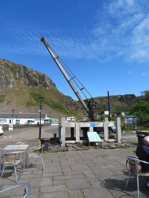
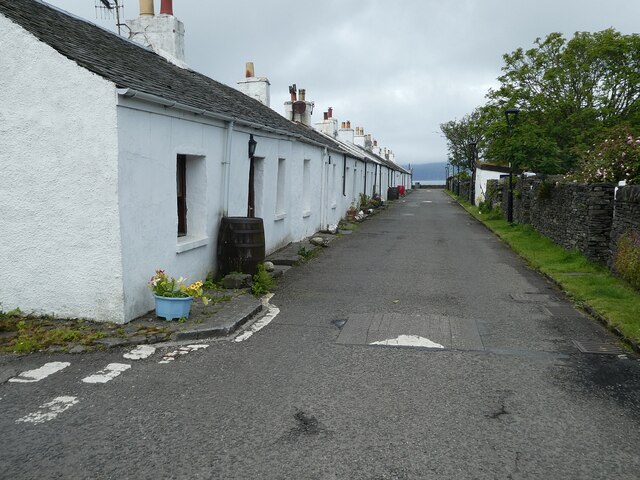
The Sound of Insh is surrounded by picturesque villages and towns, where visitors can find charming accommodations, local restaurants serving fresh seafood, and quaint shops selling handmade crafts. The area is also steeped in history, with ancient ruins and historic sites scattered throughout the landscape.

Overall, the Sound of Insh is a tranquil and scenic spot that offers a peaceful retreat for those looking to escape the hustle and bustle of everyday life.

If you have any feedback on the listing, please let us know in the comments section below.

Sound of Insh Images

Images are sourced within 2km of 56.310119/-5.6518822 or Grid Reference NM7419. Thanks to Geograph Open Source API. All images are credited.

Dubh-Sgeir at high tide From the MV Hebridean Isles on a journey from Oban to Colonsay.
Dubh-Sgeir at high tide
From the MV Hebridean Isles on a journey from Oban to Colonsay.
Dubh Sgeir with Mull beyond Dubh Sgeir from PS Waverley: quiet sea conditions, about 3/4 to high tide.
Dubh Sgeir with Mull beyond
Dubh Sgeir from PS Waverley: quiet sea conditions, about 3/4 to high tide.
Dubh Sgeir Dubh Sgeir with 'Toad of Lorn' in the background
Dubh Sgeir
Dubh Sgeir with 'Toad of Lorn' in the background
Dubh-Sgeir Puffer Vic 32 passing Dubh-Sgeir with Isle of Mull in the background
Dubh-Sgeir
Puffer Vic 32 passing Dubh-Sgeir with Isle of Mull in the background
Sea wall, at Ellenabeich, Seil Island The lower part protected by a strong plastic net, which is providing good support for the seaweed.
Sea wall, at Ellenabeich, Seil Island
The lower part protected by a strong plastic net, which is providing good support for the seaweed.
Crane No. 295 at Ellenabeich It originally stood on the timber pier and served the 19thC paddle steamer traffic from Glasgow to Fort William. By 2000 the pier was deteriorating and the crane was in danger of falling into the sea. It was repaired and reinstalled by Alan Walker of Samuel Walker & Sons, Glasgow, in memory of his father- see <a href="https://www.geograph.org.uk/photo/6931922">NM7417 : Crane No. 295 at Ellenabeich</a>
Crane No. 295 at Ellenabeich
It originally stood on the timber pier and served the 19thC paddle steamer traffic from Glasgow to Fort William. By 2000 the pier was deteriorating and the crane was in danger of falling into the sea. It was repaired and reinstalled by Alan Walker of Samuel Walker & Sons, Glasgow, in memory of his father- see NM7417 : Crane No. 295 at Ellenabeich
Crane No. 295 at Ellenabeich Details of the crane <a href="https://www.geograph.org.uk/photo/6931911">NM7417 : Crane No. 295 at Ellenabeich</a> and its restoration.
Crane No. 295 at Ellenabeich
Details of the crane NM7417 : Crane No. 295 at Ellenabeich and its restoration.
Sgeir nam Ban Flooded slate quarry at Ellenabeich, and the back of cottages on one of the two streets.
Sgeir nam Ban
Flooded slate quarry at Ellenabeich, and the back of cottages on one of the two streets.
Sgeir nam Ban Flooded slate quarry at Ellenabeich, houses to the east, and a good growth of Rosebay Willowherb on some open ground.
Sgeir nam Ban
Flooded slate quarry at Ellenabeich, houses to the east, and a good growth of Rosebay Willowherb on some open ground.
Insh Island From the MV Hebridean Isles on a journey from Oban to Colonsay.
Insh Island
From the MV Hebridean Isles on a journey from Oban to Colonsay.
Insh Island From the MV Hebridean Isles on a journey from Oban to Colonsay.
Insh Island
From the MV Hebridean Isles on a journey from Oban to Colonsay.
Coastline of Seil From the MV Hebridean Isles on a journey from Oban to Colonsay.
Coastline of Seil
From the MV Hebridean Isles on a journey from Oban to Colonsay.
The Easdale Ferry The ferry crossing to Easdale from Ellenbeich.
The Easdale Ferry
The ferry crossing to Easdale from Ellenbeich.
Toadlets Two out of hundreds of toadlets that were crawling about in the grounds of Garagh Mhor to the north of the flooded quarry in Ellenabeich, Seil.
These are almost certainly young Common Toads (Bufo bufo) as I believe young Natterjacks sport the yellow stripe that is distinctive of the adults.
Toadlets
Two out of hundreds of toadlets that were crawling about in the grounds of Garagh Mhor to the north of the flooded quarry in Ellenabeich, Seil. These are almost certainly young Common Toads (Bufo bufo) as I believe young Natterjacks sport the yellow stripe that is distinctive of the adults.
Seil - Ellenabeich - Village street Looking down the northernmost of the parallel streets that make up the village of Ellenabeich  on the Isle of Seil. This village is at the southwestern end of the island, overlooking the tiny island of Easdale.
Seil - Ellenabeich - Village street
Looking down the northernmost of the parallel streets that make up the village of Ellenabeich on the Isle of Seil. This village is at the southwestern end of the island, overlooking the tiny island of Easdale.
Seil - Ellenabeich - Flooded quarry One of the former quarries in Ellenabeich, Seil which is now entirely flooded but remains inland. Another quarry which was beside the coast has now been inundated by the sea, but this one is flooded with fresh water. This view is from the grounds of Garagh Mhor.
Seil - Ellenabeich - Flooded quarry
One of the former quarries in Ellenabeich, Seil which is now entirely flooded but remains inland. Another quarry which was beside the coast has now been inundated by the sea, but this one is flooded with fresh water. This view is from the grounds of Garagh Mhor.
Easdale - Former quarry, northernmost quarry This is a view, from the north, of the northernmost of all Easdale's numerous quarries. The number of quarries on this tiny island have resulted in it having a moth-eaten appearance from the air (see <a href="https://www.geograph.org.uk/photo/6898856">NM7317 : Island of Easdale off Seil</a>)
Easdale - Former quarry, northernmost quarry
This is a view, from the north, of the northernmost of all Easdale's numerous quarries. The number of quarries on this tiny island have resulted in it having a moth-eaten appearance from the air (see NM7317 : Island of Easdale off Seil)
Seil - Ellenabeich beneath Dùn Mòr from Luing Taken from close to <a href="https://www.geograph.org.uk/photo/7258288">NM7514 : Luing - Cnoc na h-Earde - small inlets</a> looking across <a href="https://www.geograph.org.uk/photo/7258280">NM7514 : Cuan Sound</a> to the village of Ellenabeich on the Isle of Seil as it nestles beneath to towering cliffs of Dùn Mòr which rises to 106m (348')
Seil - Ellenabeich beneath Dùn Mòr from Luing
Taken from close to NM7514 : Luing - Cnoc na h-Earde - small inlets looking across NM7514 : Cuan Sound to the village of Ellenabeich on the Isle of Seil as it nestles beneath to towering cliffs of Dùn Mòr which rises to 106m (348')
Show me another place!

Sound of Insh is located at Grid Ref: NM7419 (Lat: 56.310119, Lng: -5.6518822)

Unitary Authority: Argyll and Bute

Police Authority: Argyll and West Dunbartonshire

What 3 Words

///waggled.joggers.forgiving. Near Lochbuie, Argyll & Bute

Nearby Locations

Sound of Insh

Related Wikis

Ellenabeich

Ellenabeich (Scottish Gaelic: Eilean nam Beitheach, meaning "island of the birchwoods.") is a small village on the isle of Seil (Scottish Gaelic: Saoil...

Easdale

Easdale (Scottish Gaelic: Eilean Èisdeal) is one of the Slate Islands, in the Firth of Lorn, Scotland. Once the centre of the Scottish slate industry,...

Seil

Seil (; Scottish Gaelic: Saoil, Scottish Gaelic pronunciation: [ˈs̪ɯːl]) is one of the Slate Islands, located on the east side of the Firth of Lorn, 7...

Balvicar

Balvicar (Scottish Gaelic: Baile a' Bhiocair) is a village on the island of Seil, a small island seven miles (eleven kilometres) southwest of Oban, Scotland...

Have you been to Sound of Insh?

Leave your review of Sound of Insh below (or comments, questions and feedback).