Gulf of Corryvreckan

Sea, Estuary, Creek in Argyllshire

Scotland

Gulf of Corryvreckan

Corryvreckan, north of Jura An area of turbulence with, behind it, a dead-flat area of sea.  Photo taken mid afternoon.  I think the tide was listed as 4.0 that day.
Corryvreckan, north of Jura Credit: Patrick Hamilton

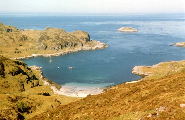
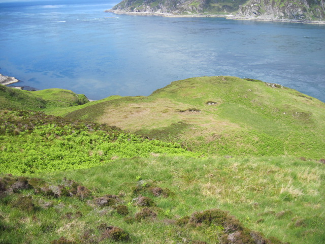
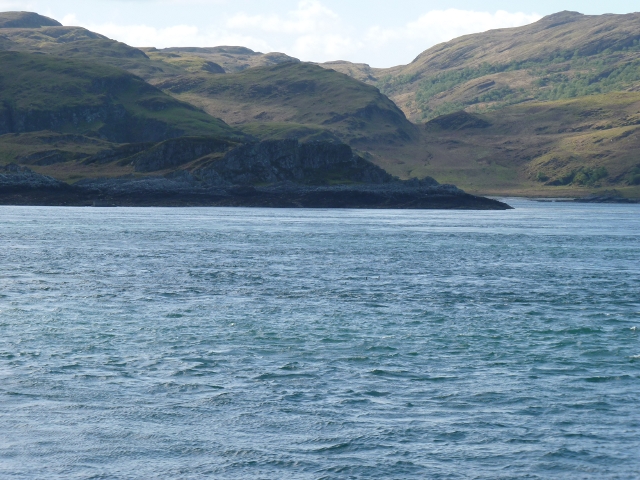
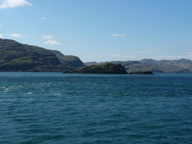
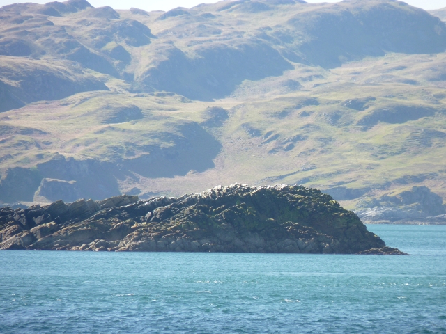
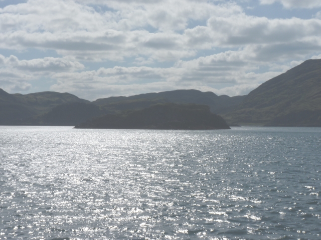
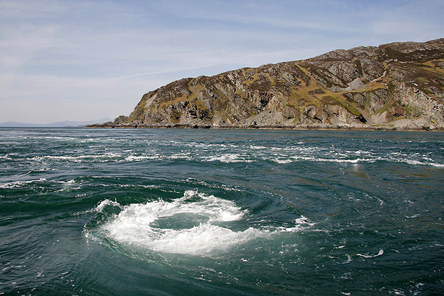
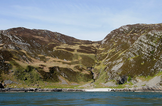
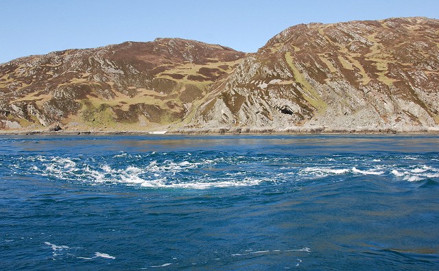
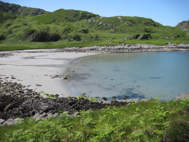
The Gulf of Corryvreckan is a body of water located off the coast of Argyllshire, Scotland. It is a narrow strait that separates the islands of Jura and Scarba, and it is renowned for its powerful tidal currents and treacherous whirlpools.

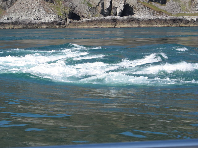
The gulf is approximately 1.2 kilometers wide and 1.6 kilometers long, and it is considered one of the largest whirlpools in the world. The currents here can reach speeds of up to 8.5 knots, creating a dangerous and unpredictable environment for sailors. The whirlpools are caused by the collision of strong ocean currents with a rocky underwater pinnacle known as the Corryvreckan.

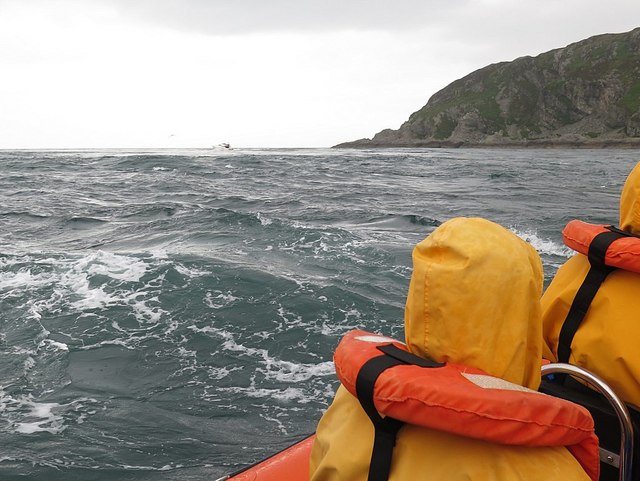
Due to its challenging conditions, the Gulf of Corryvreckan has a reputation for being a perilous area to navigate. Over the years, numerous ships have been lost in these treacherous waters, including the HMS Jackal in 1910 and the MV Captayannis in 1974.

Despite its dangers, the Gulf of Corryvreckan also attracts thrill-seekers and adventure enthusiasts who come to witness the awe-inspiring whirlpools and experience the power of the currents. Boat tours and excursions are available for those who wish to observe this natural phenomenon from a safe distance.

In addition to its natural significance, the Gulf of Corryvreckan also holds cultural importance. It has been featured in various literary works, most notably in the famous poem "The Corryvreckan" by Scottish poet George Campbell Hay.

If you have any feedback on the listing, please let us know in the comments section below.

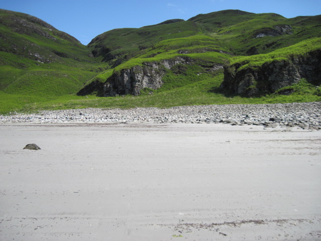
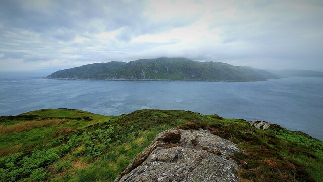
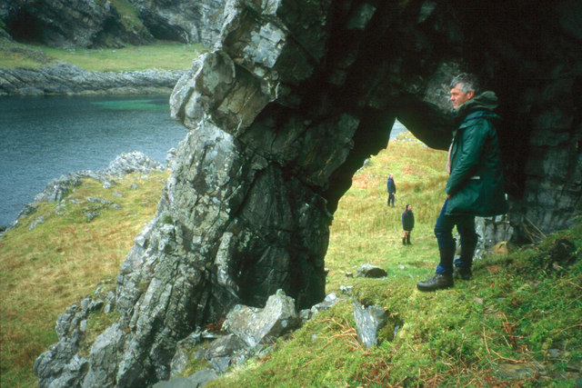
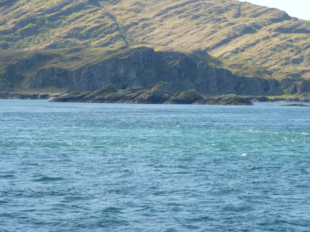
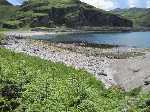
Gulf of Corryvreckan Images

Images are sourced within 2km of 56.149432/-5.7253966 or Grid Reference NM6801. Thanks to Geograph Open Source API. All images are credited.

Corryvreckan, north of Jura An area of turbulence with, behind it, a dead-flat area of sea.  Photo taken mid afternoon.  I think the tide was listed as 4.0 that day.
Corryvreckan, north of Jura
An area of turbulence with, behind it, a dead-flat area of sea. Photo taken mid afternoon. I think the tide was listed as 4.0 that day.
Gulf of Corryvreckan
Bagh Gleann nam Muc The Bay of the Pig's Glen at the NW tip of Jura along with Eilean Mor and Eilean Beag, seen from An Cruachan.
Bagh Gleann nam Muc
The Bay of the Pig's Glen at the NW tip of Jura along with Eilean Mor and Eilean Beag, seen from An Cruachan.
Above Creag an t-Seòil
Beach below An Cruachan
Gulf of Corryvreckan Looking over the gulf in the direction of Scarba from the northern tip of Jura.
Gulf of Corryvreckan
Looking over the gulf in the direction of Scarba from the northern tip of Jura.
Natural arch at Glentrosdale Bay The west coast of Jura abounds with raised coastal features.
Natural arch at Glentrosdale Bay
The west coast of Jura abounds with raised coastal features.
Eilean Beag from Corryvreckan Was this the small island (what Eilean Beag means..) that George Orwell ended up stranded on with his son after getting into difficulties with the Corryvreckan whirlpool??? If not this then presumably the nearby Eilean Mòr (Big Island)
Eilean Beag from Corryvreckan
Was this the small island (what Eilean Beag means..) that George Orwell ended up stranded on with his son after getting into difficulties with the Corryvreckan whirlpool??? If not this then presumably the nearby Eilean Mòr (Big Island)
Eilean Beag with Jura beyond Islet hardly distinguishable from Jura.
Eilean Beag with Jura beyond
Islet hardly distinguishable from Jura.
Eilean Mòr from Corryvreckan From deck of the PS Waverley at slack tide: Well, you wouldn't want to go over Corryvreckan in a 1946-built steam powered paddle-steamer when the whirlpool is at its worst.
Eilean Mòr from Corryvreckan
From deck of the PS Waverley at slack tide: Well, you wouldn't want to go over Corryvreckan in a 1946-built steam powered paddle-steamer when the whirlpool is at its worst.
Guano-topped outlier of Eilean Mòr Small bit of rock favour by sea-birds, evidently, separated at high-tide from the rest of Eilean Mòr
Guano-topped outlier of Eilean Mòr
Small bit of rock favour by sea-birds, evidently, separated at high-tide from the rest of Eilean Mòr
Eilean Mòr with Jura beyond Glentrosdale Bay is the other side of Eilean Mòr. Bit washed-out as taken into sun bouncing off sea
Eilean Mòr with Jura beyond
Glentrosdale Bay is the other side of Eilean Mòr. Bit washed-out as taken into sun bouncing off sea
SW corner of Scarba From deck of PS Waverley
SW corner of Scarba
From deck of PS Waverley
The Corryvreckan Whirlpool This whirlpool effect is caused by the squeezing of the tide though the narrow Gulf of Corryvreckan between Jura and Scarba, over humps and holes in the reef, including a rock pinnacle that rises to 29m from the surface of the sea. This was taken from a small boat that sailed from Easdale.
The Corryvreckan Whirlpool
This whirlpool effect is caused by the squeezing of the tide though the narrow Gulf of Corryvreckan between Jura and Scarba, over humps and holes in the reef, including a rock pinnacle that rises to 29m from the surface of the sea. This was taken from a small boat that sailed from Easdale.
Uamh Camas nam Bairneach on Scarba This gully with a burn running down into the Camas nan Bairneach on the south side of Scarba was viewed from a small boat in the Gulf of Corryvreckan.
Uamh Camas nam Bairneach on Scarba
This gully with a burn running down into the Camas nan Bairneach on the south side of Scarba was viewed from a small boat in the Gulf of Corryvreckan.
Corryvreckan Whirlpool Taken on a trip from Crinan with small tides and good weather.
Corryvreckan Whirlpool
Taken on a trip from Crinan with small tides and good weather.
Bàgh Gleann nam Muc
Bàgh Gleann nam Muc
Bàgh Gleann nam Muc towards Uamh Ruadh Bheag
Show me another place!

Gulf of Corryvreckan is located at Grid Ref: NM6801 (Lat: 56.149432, Lng: -5.7253966)

Unitary Authority: Argyll and Bute

Police Authority: Argyll and West Dunbartonshire

What 3 Words

///twit.elevate.mega. Near Lochgilphead, Argyll & Bute

Related Wikis

Gulf of Corryvreckan

The Gulf of Corryvreckan (from the Gaelic Coire Bhreacain, meaning 'cauldron of the speckled seas' or 'cauldron of the plaid'), also called the Strait...

Scarba

Scarba (Scottish Gaelic: Sgarba) is an island, in Argyll and Bute, Scotland, just north of the much larger island of Jura. The island has not been permanently...

Kinuachdrachd

Kinuachdrachd or Kinuachdrach is a place about 22 miles from Craighouse on the island of Jura, in the council area of Argyll and Bute, Scotland. It comprises...

Barnhill, Jura

Barnhill is a farmhouse in the north of the island of Jura in the Scottish Inner Hebrides overlooking the Sound of Jura. It stands on the site of a larger...

Nearby Amenities

Located within 500m of 56.149432,-5.7253966
Na Rubhachan Donna
Natural: cape
Source: OS_OpenData_StreetView
Lat/Long: 56.1482222/-5.7214022
Uamh an Spardain
Natural: cave_entrance
Source: OS_OpenData_StreetView
Lat/Long: 56.1457855/-5.7237169
The data included in this document is from www.openstreetmap.org. The data is made available under ODbL.

Have you been to Gulf of Corryvreckan?

Leave your review of Gulf of Corryvreckan below (or comments, questions and feedback).