An Acairsaid a Deas

Sea, Estuary, Creek in Inverness-shire

Scotland

An Acairsaid a Deas

Houses at Scalpay
Houses at Scalpay Credit: Sandy Gerrard

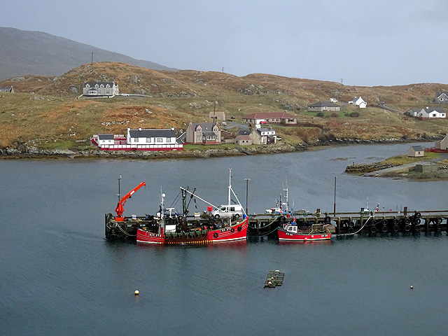
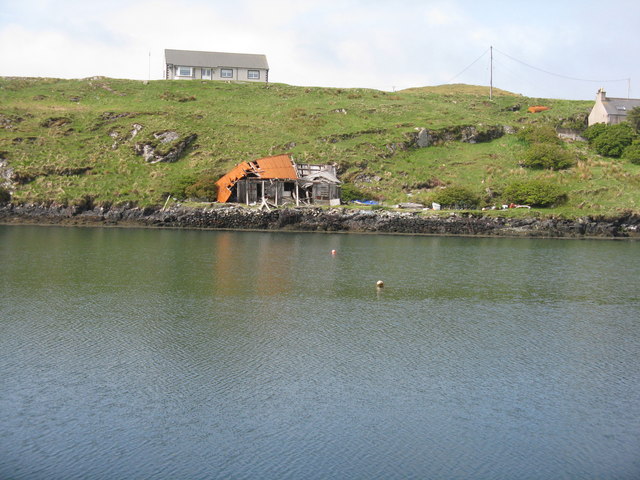
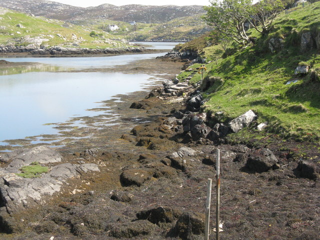
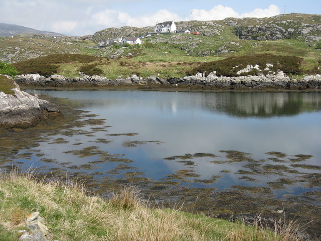
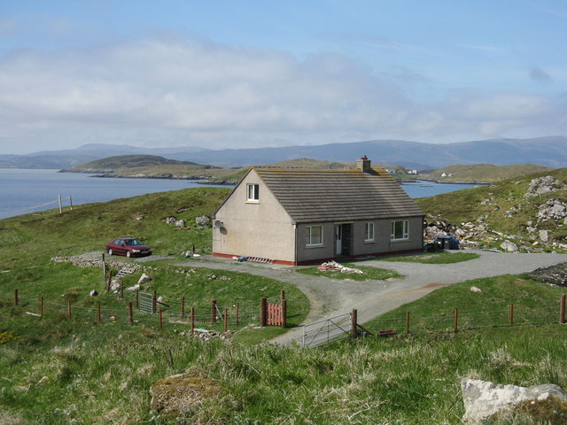
An Acairsaid a Deas, also known as South Acairsaid, is a small scenic coastal area located in Inverness-shire, Scotland. It is situated on the western coast, overlooking the Atlantic Ocean, and is known for its beautiful sea views, estuary, and creek.

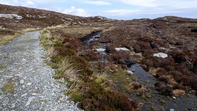
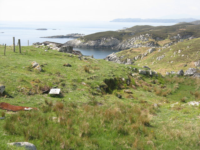
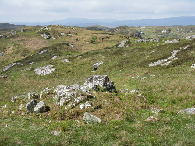
The area is characterized by its rugged landscape, with rocky cliffs, sandy beaches, and picturesque hills. The sea, estuary, and creek provide a diverse range of habitats, making it a haven for wildlife enthusiasts and nature lovers. Visitors can spot various seabirds, including gulls, puffins, and cormorants, as well as seals and dolphins that occasionally swim close to the shore.

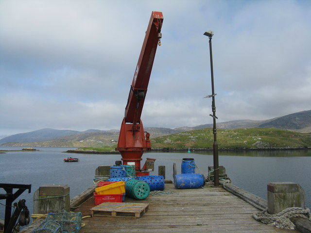
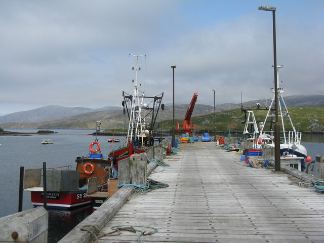
An Acairsaid a Deas is a popular destination for outdoor activities such as fishing, boating, and kayaking. The estuary is particularly renowned for its fishing opportunities, with salmon and trout being the main catches. The creek, on the other hand, offers a tranquil setting for boating and kayaking, allowing visitors to explore the area's natural beauty at their own pace.

For those who prefer to stay on land, the surrounding hills provide excellent hiking trails, offering panoramic views of the coast and the vast expanse of the Atlantic Ocean. The area also has a rich cultural history, with ancient ruins and archaeological sites dotted along the coastline, providing an insight into the region's past.

In summary, An Acairsaid a Deas is a stunning coastal area in Inverness-shire, offering breathtaking sea views, diverse wildlife, and a range of outdoor activities for visitors to enjoy.

If you have any feedback on the listing, please let us know in the comments section below.

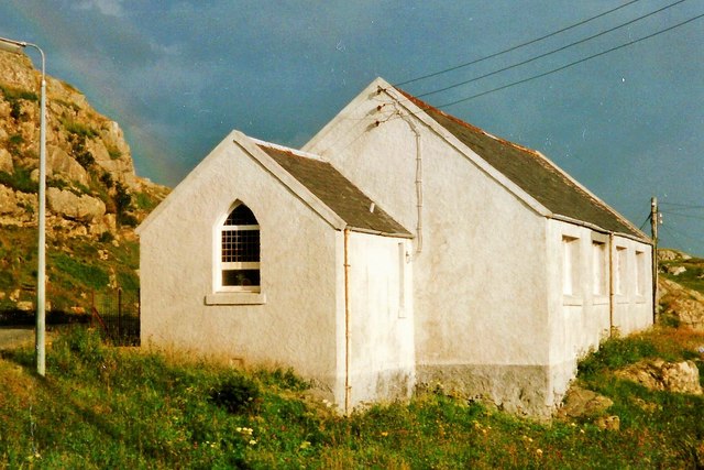
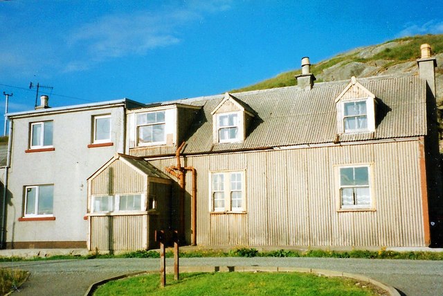
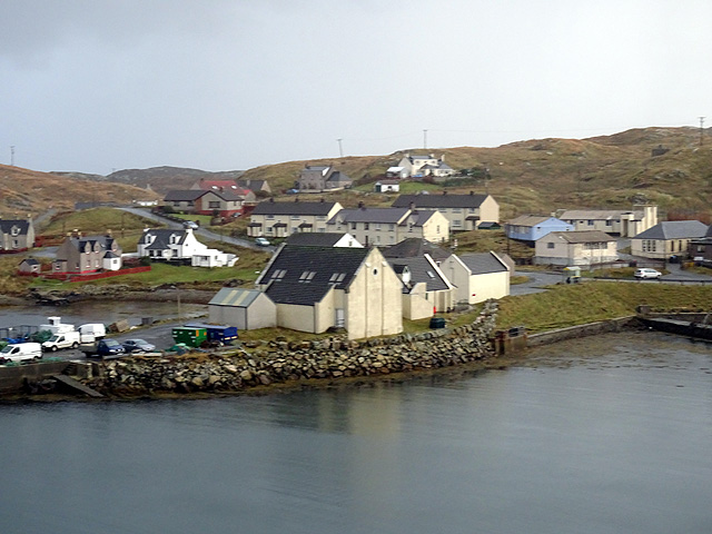
An Acairsaid a Deas Images

Images are sourced within 2km of 57.861963/-6.6928156 or Grid Reference NG2195. Thanks to Geograph Open Source API. All images are credited.

Houses at Scalpay
Houses at Scalpay
Track to Eilean Glas Lighthouse There is some small-scale peat cutting immediately next to the track.
Track to Eilean Glas Lighthouse
There is some small-scale peat cutting immediately next to the track.
Scalpay Church of Scotland The majority on Scalpay chose to remain in the Free Church when the United Free Church reunited with the established Church of Scotland in 1929.  As the congregation was not enough to justify maintaining a large building and a resident minister, the Church of Scotland kept this small church where services were conducted by a lay missionary, who lived with his family in the nearby <a href="https://www.geograph.org.uk/photo/4742256">NG2196 : Scalpay Mission House</a>

Shortly after this photograph was taken the bridge linking Scalpay to the mainland of Harris was completed, making it possible for the remaining Church of Scotland congregation to attend Sunday services in Tarbert and so there was no longer any need for a missionary.

This small church is now used for services by the Free Church (Continuing).  For a later view from the other side see <a href="https://www.geograph.org.uk/photo/1514144">NG2196 : Church Scalpay</a>.
Scalpay Church of Scotland
The majority on Scalpay chose to remain in the Free Church when the United Free Church reunited with the established Church of Scotland in 1929. As the congregation was not enough to justify maintaining a large building and a resident minister, the Church of Scotland kept this small church where services were conducted by a lay missionary, who lived with his family in the nearby NG2196 : Scalpay Mission House Shortly after this photograph was taken the bridge linking Scalpay to the mainland of Harris was completed, making it possible for the remaining Church of Scotland congregation to attend Sunday services in Tarbert and so there was no longer any need for a missionary. This small church is now used for services by the Free Church (Continuing). For a later view from the other side see NG2196 : Church Scalpay.
Scalpay Mission House The corrugated building was once the home of the lay missionary who served the <a href="https://www.geograph.org.uk/photo/4742254">NG2196 : Scalpay Church of Scotland</a>.  Following the opening of the Scalpay Bridge in 1997, soon after this photograph was taken, the small Church of Scotland congregation was able to travel to worship on the Harris mainland and missionaries no longer resided on the island.
Scalpay Mission House
The corrugated building was once the home of the lay missionary who served the NG2196 : Scalpay Church of Scotland. Following the opening of the Scalpay Bridge in 1997, soon after this photograph was taken, the small Church of Scotland congregation was able to travel to worship on the Harris mainland and missionaries no longer resided on the island.
Scalpay village
Scalpay village
Pier at Scalpay
Pier at Scalpay
Scalpay road bridge The west side of the bridge.
Scalpay road bridge
The west side of the bridge.
The end of the pier at Scalpay/Scalpaigh Derrick on the main pier. The inlet and land beyond are An Acairseid a Tuath and Àird an Aiseig.
The end of the pier at Scalpay/Scalpaigh
Derrick on the main pier. The inlet and land beyond are An Acairseid a Tuath and Àird an Aiseig.
House on Scalpay/Scalpaigh In need of some restoration.
House on Scalpay/Scalpaigh
In need of some restoration.
The pier at Scalpay/Scalpaigh Neat and tidy, with moored fishing boats and derrick. The inlet and land beyond are An Acairseid a Tuath and Àird an Aiseig.
The pier at Scalpay/Scalpaigh
Neat and tidy, with moored fishing boats and derrick. The inlet and land beyond are An Acairseid a Tuath and Àird an Aiseig.
Looking across An Acairseid a Tuath From the pier to a tumbledown shed and house.
Looking across An Acairseid a Tuath
From the pier to a tumbledown shed and house.
Scalpay Community Fire Station At the head of the pier, with the Community Hall beyond.
Scalpay Community Fire Station
At the head of the pier, with the Community Hall beyond.
Coast at Ãird Adhanais At the end of Sraid Falkland, looking out to Bagh Ceann na Muice.
Coast at Ãird Adhanais
At the end of Sraid Falkland, looking out to Bagh Ceann na Muice.
Tidal island in Bagh Ceann na Muice Sea surrounds the island at high tide, and separates it from the two houses in the distance.
Tidal island in Bagh Ceann na Muice
Sea surrounds the island at high tide, and separates it from the two houses in the distance.
Bàgh Ceann na Muice Or Bagh Ceann na Muise [OS spelling varies from scale to scale]. Looking across rocky grasslend from the road to Ceann a Bhàigh.
Bàgh Ceann na Muice
Or Bagh Ceann na Muise [OS spelling varies from scale to scale]. Looking across rocky grasslend from the road to Ceann a Bhàigh.
House on Straid Falkland Overlooking An Acairseid a Deas near Ceann a Bhàigh.
House on Straid Falkland
Overlooking An Acairseid a Deas near Ceann a Bhàigh.
Coast at Ceann a Bhàigh The end of the road at the southern end of Scalpay/Scalpaigh, over looking Loch an Tairbeairt.
Coast at Ceann a Bhàigh
The end of the road at the southern end of Scalpay/Scalpaigh, over looking Loch an Tairbeairt.
Rocky grassland at Ceann a Bhàigh Otherwise Kennavay, at the south of Scalpay.
Rocky grassland at Ceann a Bhàigh
Otherwise Kennavay, at the south of Scalpay.
Show me another place!

An Acairsaid a Deas is located at Grid Ref: NG2195 (Lat: 57.861963, Lng: -6.6928156)

Unitary Authority: Na h-Eileanan an Iar

Police Authority: Highlands and Islands

What 3 Words

///gadgets.diver.wider. Near Tarbert, Na h-Eileanan Siar

Related Wikis

Scalpay, Outer Hebrides

Scalpay (; Scottish Gaelic: Sgalpaigh or Sgalpaigh na Hearadh; i.e. "Scalpay of Harris" to distinguish it from Scalpay off Skye) is an island in the Outer...

Eilean Glas, Scalpay

Eilean Glas is a peninsula of Scalpay in the Outer Hebrides, Scotland. Eilean Glas is home to a historic lighthouse. Eilean Glas means Grey/Green Island...

Eilean Glas Lighthouse

Eilean Glas Lighthouse is situated on the east coast of the island of Scalpay in the Outer Hebrides of Scotland. It was one of the original four lights...

East Loch Tarbert

East Loch Tarbert (Scottish Gaelic: Loch an Tairbeairt) is a sea loch that lies to the east of Harris in the Outer Hebrides of Scotland. The loch contains...

Nearby Amenities

Located within 500m of 57.861963,-6.6928156
Barrier: cattle_grid
Lat/Long: 57.8649965/-6.6873675
Turning Circle
Lat/Long: 57.8656977/-6.6890341
South Harbour
Natural: bay
Lat/Long: 57.8576806/-6.6908551
Turning Circle
Lat/Long: 57.8660994/-6.6904487
Material: wood
Power: pole
Lat/Long: 57.866009/-6.6893625
Material: wood
Power: pole
Lat/Long: 57.8648305/-6.6880267
Material: wood
Power: pole
Lat/Long: 57.8650203/-6.6884787
Tidal Pond
Place: locality
Lat/Long: 57.8629405/-6.7003741
The data included in this document is from www.openstreetmap.org. The data is made available under ODbL.

Have you been to An Acairsaid a Deas?

Leave your review of An Acairsaid a Deas below (or comments, questions and feedback).