An Loch an Ear
Sea, Estuary, Creek in Inverness-shire
Scotland
An Loch an Ear

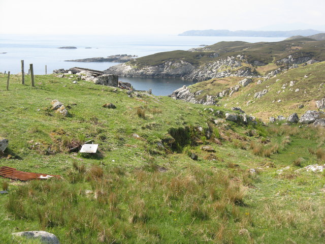
An Loch an Ear, also known as Loch Eireasort, is a stunning sea loch located in Inverness-shire, Scotland. It is situated on the west coast of the Isle of Lewis, one of the Outer Hebrides islands. The Loch stretches over approximately 10 miles from its entrance at the Atlantic Ocean to its narrowest point near the village of Knockaird.
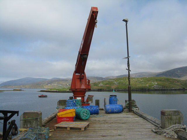
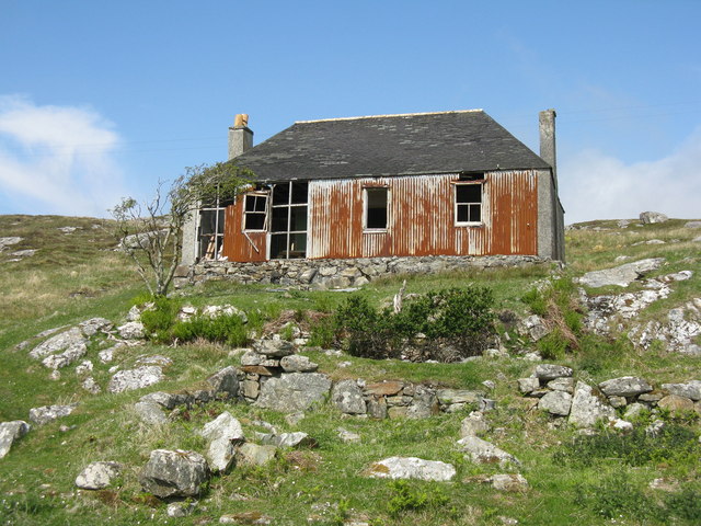
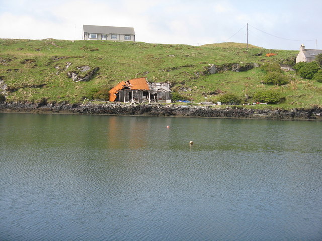
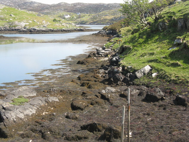
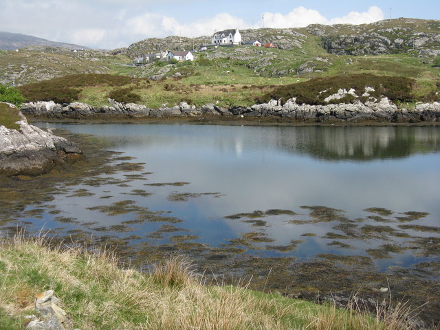
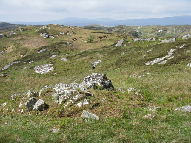
The landscape surrounding An Loch an Ear is characterized by breathtaking natural beauty. The loch is surrounded by rolling hills and rugged cliffs, providing a picturesque backdrop for visitors. The area is also rich in wildlife, with numerous species of birds, seals, and even dolphins often spotted in the waters.
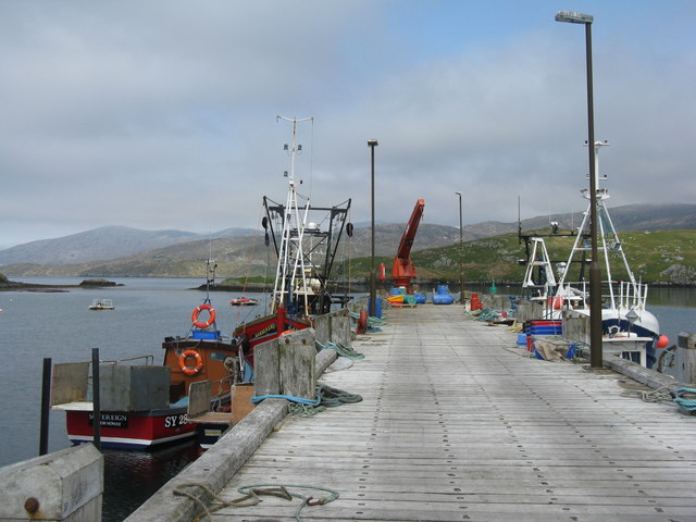
The Loch offers a diverse range of activities for visitors to enjoy. Fishing enthusiasts will find an abundance of opportunities, as the loch is home to a variety of fish species, including salmon and trout. Sailing and kayaking are also popular pastimes, allowing visitors to explore the tranquil waters and take in the stunning scenery.
For those seeking a more relaxed experience, the shores of An Loch an Ear are perfect for peaceful walks and picnics. The area is dotted with small, sandy beaches and hidden coves, providing ample opportunity for relaxation and solitude.
Overall, An Loch an Ear is a truly remarkable location that offers visitors a unique blend of natural beauty, wildlife, and recreational activities. Whether you are an outdoor enthusiast or simply seeking tranquility, this sea loch in Inverness-shire is a must-visit destination.
If you have any feedback on the listing, please let us know in the comments section below.
An Loch an Ear Images
Images are sourced within 2km of 57.859077/-6.7022273 or Grid Reference NG2195. Thanks to Geograph Open Source API. All images are credited.
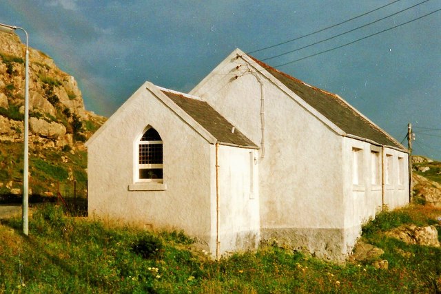
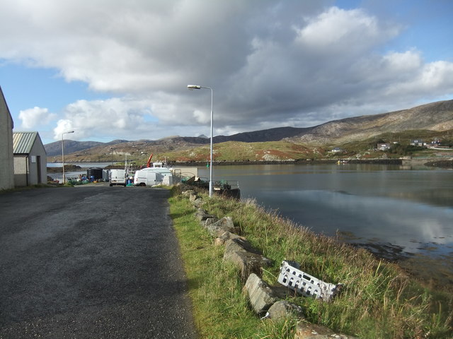
![BÃ gh Ceann na Muice Or Bagh Ceann na Muise [OS spelling varies from scale to scale]. Looking across rocky grasslend from the road to Ceann a Bhàigh.](https://s3.geograph.org.uk/geophotos/05/00/85/5008571_10a21ca1.jpg)

An Loch an Ear is located at Grid Ref: NG2195 (Lat: 57.859077, Lng: -6.7022273)
Unitary Authority: Na h-Eileanan an Iar
Police Authority: Highlands and Islands
What 3 Words
///zoos.outermost.reading. Near Tarbert, Na h-Eileanan Siar
Nearby Locations
Related Wikis

Scalpay, Outer Hebrides
Scalpay (; Scottish Gaelic: Sgalpaigh or Sgalpaigh na Hearadh; i.e. "Scalpay of Harris" to distinguish it from Scalpay off Skye) is an island in the Outer...

East Loch Tarbert
East Loch Tarbert (Scottish Gaelic: Loch an Tairbeairt) is a sea loch that lies to the east of Harris in the Outer Hebrides of Scotland. The loch contains...
Eilean Glas, Scalpay
Eilean Glas is a peninsula of Scalpay in the Outer Hebrides, Scotland. Eilean Glas is home to a historic lighthouse. Eilean Glas means Grey/Green Island...

Sgeotasaigh
Scotasay (Scottish Gaelic: Sgeotasaigh) is small island in the Outer Hebrides of Scotland. It lies 1 kilometre (0.6 miles) off the east coast of Harris...

Eilean Glas Lighthouse
Eilean Glas Lighthouse is situated on the east coast of the island of Scalpay in the Outer Hebrides of Scotland. It was one of the original four lights...

Rèinigeadal
Rèinigeadal (or Rhenigidale) is a small settlement in Harris, in the Western Isles in Scotland. It is situated on the east coast of Harris 8 kilometres...

Harris distillery
Harris distillery is a Scotch whisky and Gin distillery in Tarbert on the Isle of Harris, Scotland. The distillery was the first legal distillery ever...

Tarbert, Harris
Tarbert (Scottish Gaelic: An Tairbeart [ən̪ˠ ˈt̪ɛrʲɛbərˠʃt̪]) is the main community on Harris in the Western Isles of Scotland. The name means "isthmus...
Related Videos

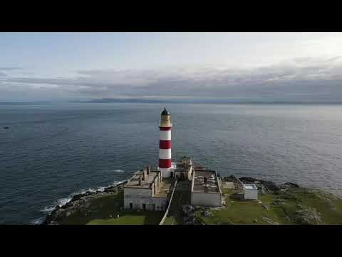
Eilean Glas Lighthouse
Drone footage capturing this iconic landmark on Scalpay, Outer Hebrides.

Island Of Scalpay With Music On History Visit To The Outer Hebrides Scotland
Tour Scotland short 4K travel video clip, with music, of the Island of Scalpay, Scottish Gaelic: Sgalpaigh or Sgalpaigh na Hearadh, ...

Coast and Islands Orienteering Lewis and Harris 2023 day 2 - Scalpay 2023
Orienteering event on the Isle of Harris and Isle of Lewis. for more information search Coast and Islands orienteering ...
Nearby Amenities
Located within 500m of 57.859077,-6.7022273Have you been to An Loch an Ear?
Leave your review of An Loch an Ear below (or comments, questions and feedback).