Ponds Brow
Sea, Estuary, Creek in Cornwall
England
Ponds Brow
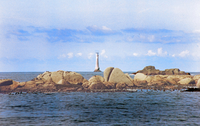
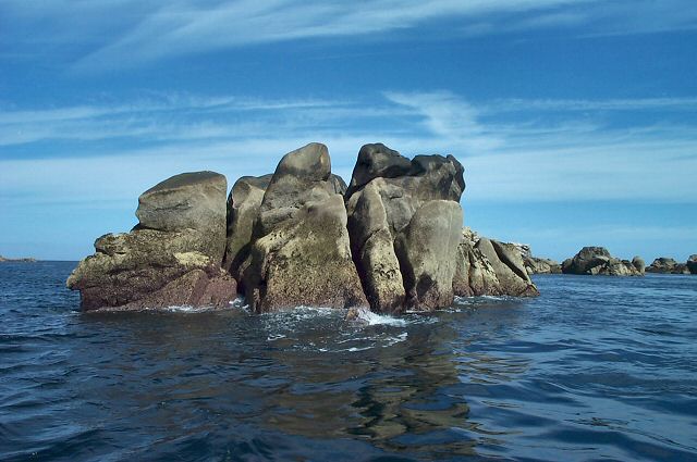
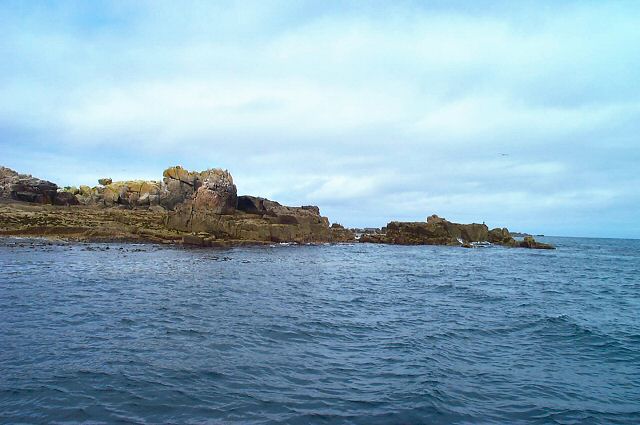
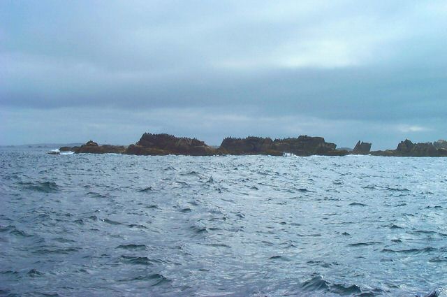
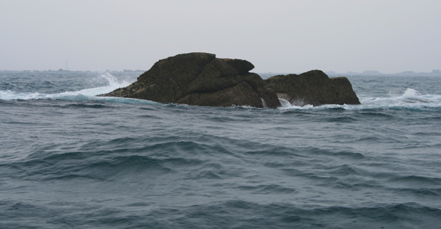
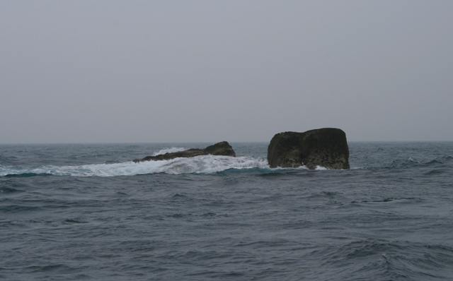
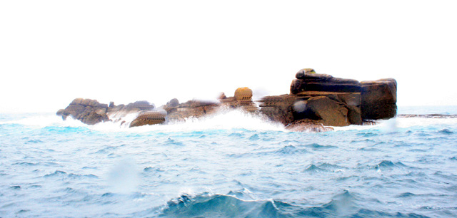
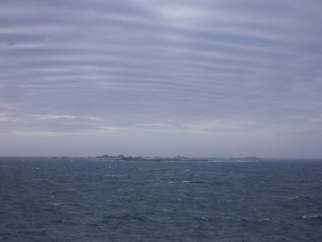
Ponds Brow is a beautiful coastal area located in Cornwall, England. Situated near the village of St. Mawes, it offers stunning views of both the sea and the estuary. The area is known for its picturesque landscape, with rugged cliffs, sandy beaches, and crystal-clear waters.
One of the main attractions of Ponds Brow is its sandy beach, which is perfect for sunbathing, picnicking, and swimming. The beach is surrounded by cliffs on one side, creating a secluded and tranquil atmosphere. Visitors can also explore the nearby rock pools, which are teeming with fascinating marine life.
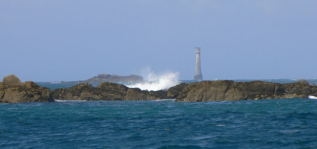
The estuary at Ponds Brow is another highlight of the area. It is formed where the river meets the sea, creating a unique ecosystem that is home to a wide variety of birds, fish, and plants. Nature enthusiasts can enjoy birdwatching and take leisurely walks along the estuary, taking in the breathtaking scenery.
Ponds Brow also boasts a charming creek, which offers a peaceful and serene environment. The creek is lined with lush vegetation and offers a haven for wildlife, including ducks, swans, and herons. It is an ideal spot for boating, kayaking, and paddleboarding, providing visitors with a chance to explore the area from a different perspective.
Overall, Ponds Brow in Cornwall is a picturesque and diverse coastal area that offers a blend of natural beauty and tranquility. Whether you are looking for a relaxing beach day, a peaceful walk along the estuary, or an adventurous paddle in the creek, Ponds Brow has something to offer for everyone.
If you have any feedback on the listing, please let us know in the comments section below.
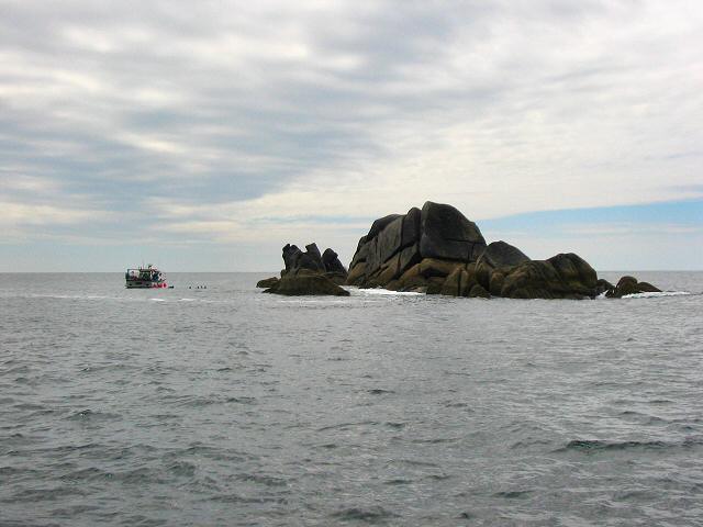
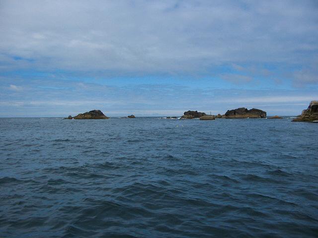
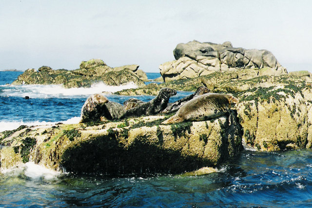
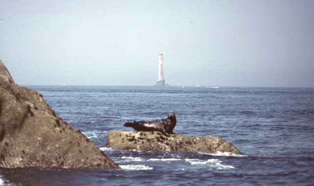
Ponds Brow Images
Images are sourced within 2km of 49.873821/-6.4074585 or Grid Reference SV8306. Thanks to Geograph Open Source API. All images are credited.


Ponds Brow is located at Grid Ref: SV8306 (Lat: 49.873821, Lng: -6.4074585)
Division: Isles of Scilly
Unitary Authority: Isles of Scilly
Police Authority: Devon and Cornwall
What 3 Words
///performed.gasping.cloth. Near St Agnes, Isles of Scilly
Nearby Locations
Related Wikis

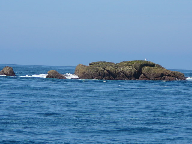
Western Rocks, Isles of Scilly
The Western Rocks (Cornish: Karregi Gorlewen) are a group of uninhabited skerries and rocks in the south–western part of the Isles of Scilly, United Kingdom...

Rosevear
Rosevear (Cornish: Ros Veur "great promontory") is the largest (0.63 hectares (1.6 acres)) of the group of rocks known as the Western Rocks, Isles of Scilly...

Scilly naval disaster of 1707
The Scilly naval disaster of 1707 was the loss of four warships of a Royal Navy fleet off the Isles of Scilly in severe weather on 22 October 1707. Between...

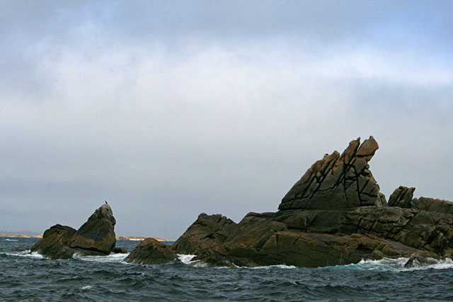
Pednathise Head
Pednathise Head is a skerry that is the southernmost point of England, the United Kingdom, and the British Isles if the Channel Islands are excluded. It...
Have you been to Ponds Brow?
Leave your review of Ponds Brow below (or comments, questions and feedback).