Chingford Plain
Urban Greenspace in Essex
England
Chingford Plain

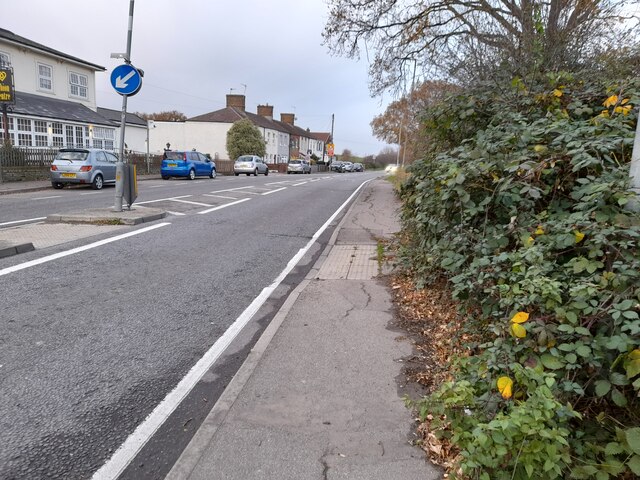
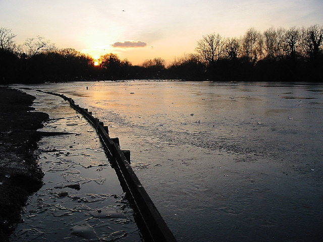
Chingford Plain, located in Essex, England, is an urban greenspace known for its natural beauty and recreational opportunities. Covering an approximate area of 250 acres, Chingford Plain offers a diverse range of landscapes, including grassland, heathland, and woodland, making it a haven for a variety of flora and fauna.
The plain is characterized by its open expanses, providing visitors with ample space to engage in various outdoor activities. It is a popular destination for walking, jogging, and cycling, with several well-maintained paths and trails traversing the area. The flat terrain and scenic views make it ideal for leisurely strolls and picnics as well.
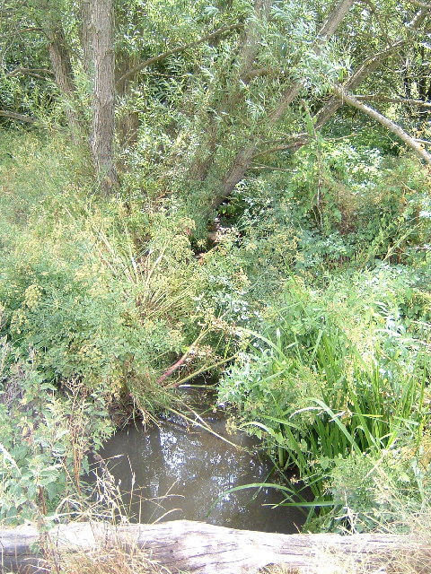
Nature enthusiasts can explore the rich biodiversity found within Chingford Plain. The grassland areas are home to an array of wildflowers, while the heathland supports rare species such as the silver-studded blue butterfly and the Dartford warbler. The woodland sections provide a peaceful retreat, attracting woodland birds and small mammals.
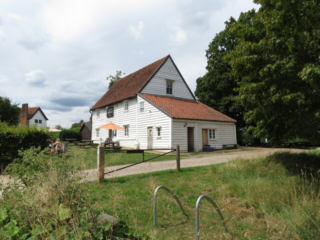
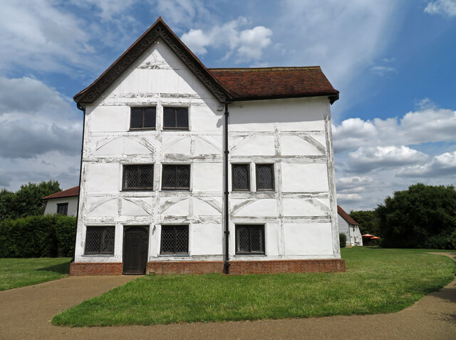
Chingford Plain also boasts historical and cultural importance. The area was once used as a hunting ground for King Henry VIII and later became a common land for the local community. Today, remnants of its past can still be seen, including the Queen Elizabeth's Hunting Lodge, a Tudor-era building that offers insights into the area's history.
The greenspace is easily accessible, with ample parking available and good transport links. It is a popular destination for both locals and tourists, offering a tranquil retreat from the hustle and bustle of urban life. Chingford Plain is a valuable asset to the community, providing a space for relaxation, recreation, and connection with nature.
If you have any feedback on the listing, please let us know in the comments section below.
Chingford Plain Images
Images are sourced within 2km of 51.637866/0.006900145 or Grid Reference TQ3895. Thanks to Geograph Open Source API. All images are credited.


Chingford Plain is located at Grid Ref: TQ3895 (Lat: 51.637866, Lng: 0.006900145)
Unitary Authority: Waltham Forest
Police Authority: Metropolitan
What 3 Words
///react.grace.tens. Near Buckhurst Hill, Essex
Nearby Locations
Related Wikis

Chingford Green (ward)
Chingford Green Ward is a political division of the London Borough of Waltham Forest and is one of the six Waltham Forest wards of the Chingford and Woodford...

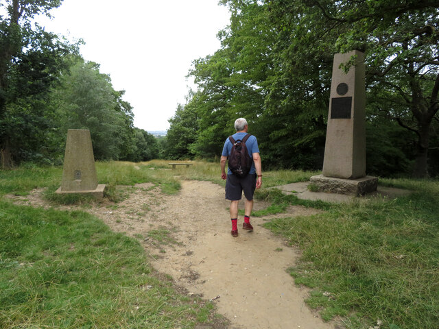
Pole Hill
Pole Hill is a hill in Chingford, East London, on the border between Greater London and Essex. From its summit there is an extensive view over much of...
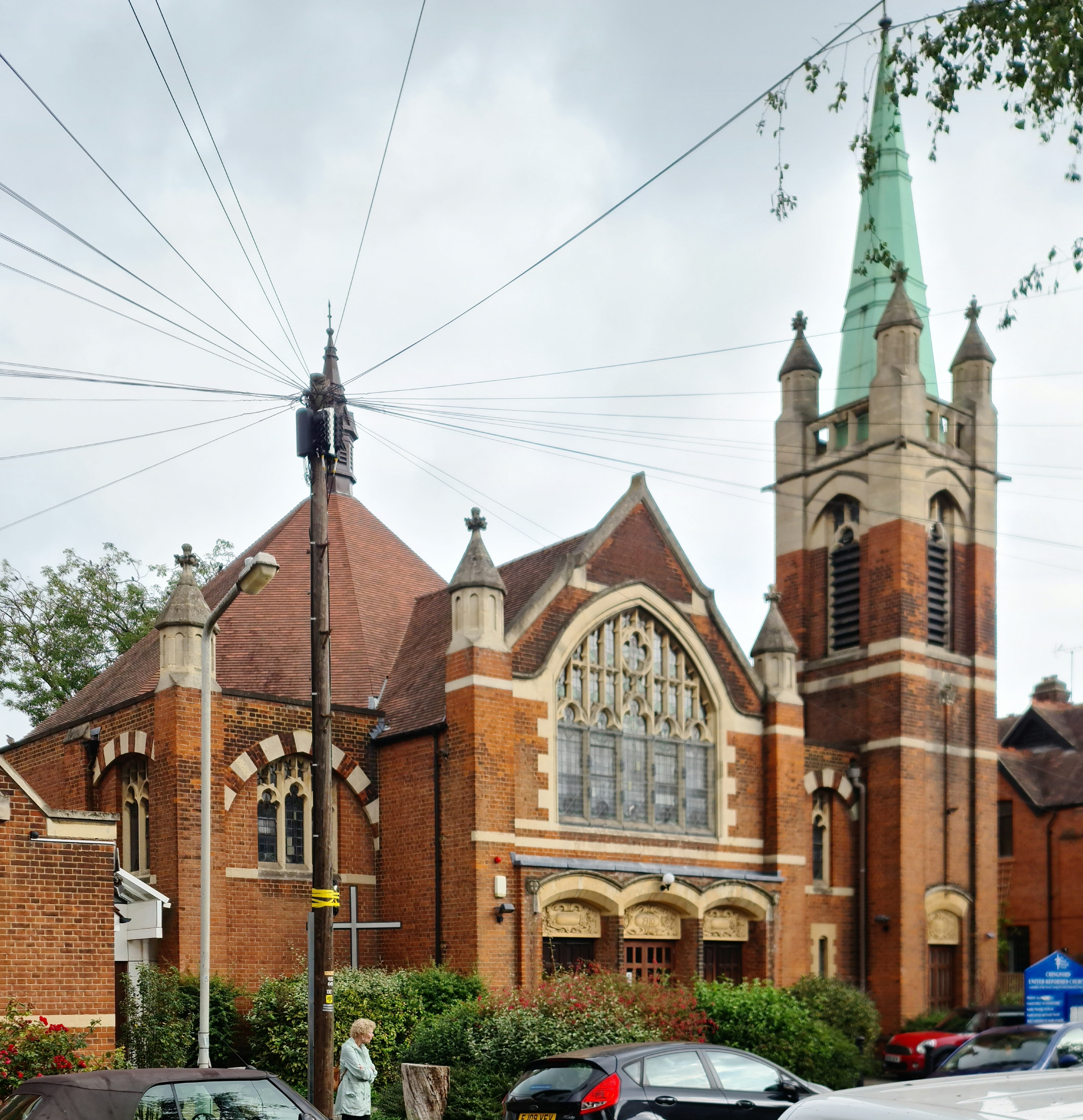
Chingford United Reformed Church
Chingford United Reformed Church is a Grade II listed United Reformed Church at Buxton Road, Chingford, in the London Borough of Waltham Forest. ��2�...

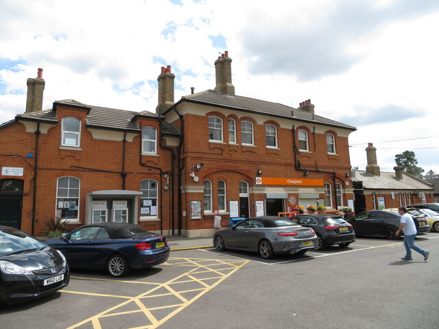
Chingford railway station
Chingford is a railway station located in Chingford in the London Borough of Waltham Forest, north east London, operated by London Overground since 31...
Nearby Amenities
Located within 500m of 51.637866,0.006900145Have you been to Chingford Plain?
Leave your review of Chingford Plain below (or comments, questions and feedback).