The Hawk Wood
Wood, Forest in Essex
England
The Hawk Wood

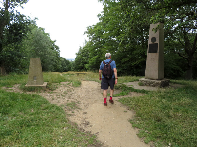
The Hawk Wood is a picturesque woodland located in Essex, England. Covering approximately 50 acres, it is a popular destination for nature enthusiasts and outdoor enthusiasts alike. The wood is situated near the village of Waltham Abbey, providing easy access for visitors from nearby towns and cities.
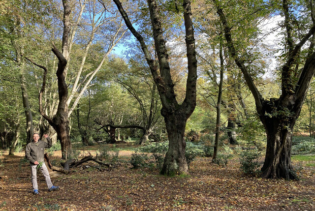
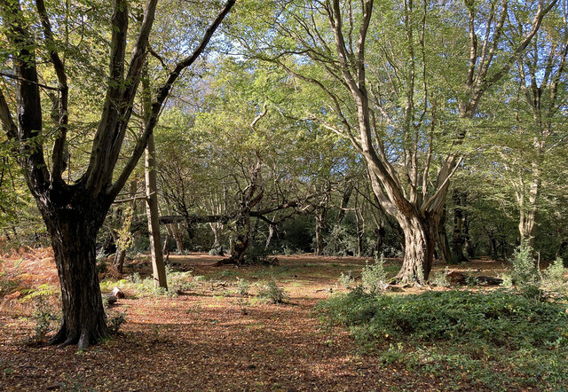
The Hawk Wood is characterized by its diverse range of flora and fauna. The area is home to a variety of tree species, including oak, birch, and beech, which create a dense and vibrant canopy. The forest floor is covered in a blanket of wildflowers during the spring and summer months, adding bursts of color to the landscape.
The wood is also known for its abundance of wildlife. Visitors may catch glimpses of deer, foxes, and various bird species as they explore the trails that wind through the woodland. The combination of habitats within the wood, including open clearings, dense undergrowth, and mature trees, provide a thriving ecosystem for many species.
The Hawk Wood offers a range of recreational activities for visitors to enjoy. There are several well-maintained walking trails, allowing individuals to immerse themselves in the natural beauty of the area. Additionally, the wood offers opportunities for birdwatching, photography, and picnicking.
Overall, The Hawk Wood is a hidden gem in Essex, providing a tranquil and serene escape from the hustle and bustle of daily life. With its diverse flora and fauna, it offers a unique opportunity to connect with nature and appreciate the beauty of the English countryside.
If you have any feedback on the listing, please let us know in the comments section below.
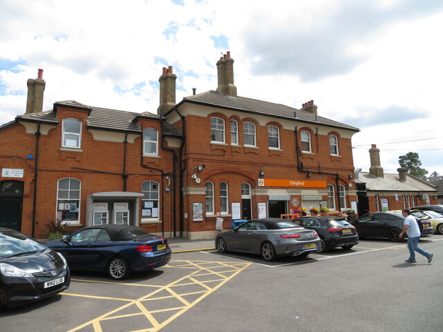
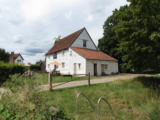
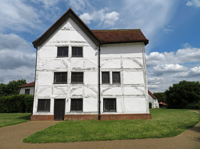
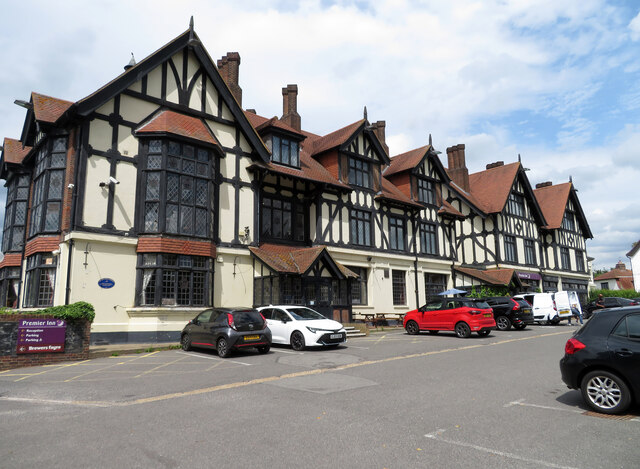
The Hawk Wood Images
Images are sourced within 2km of 51.638627/-0.000263393 or Grid Reference TQ3895. Thanks to Geograph Open Source API. All images are credited.


The Hawk Wood is located at Grid Ref: TQ3895 (Lat: 51.638627, Lng: -0.000263393)
Unitary Authority: Waltham Forest
Police Authority: Metropolitan
What 3 Words
///beard.circle.shock. Near Buckhurst Hill, Essex
Nearby Locations
Related Wikis

Pole Hill
Pole Hill is a hill in Chingford, East London, on the border between Greater London and Essex. From its summit there is an extensive view over much of...

Chingford Green (ward)
Chingford Green Ward is a political division of the London Borough of Waltham Forest and is one of the six Waltham Forest wards of the Chingford and Woodford...
Hawkwood, London
Hawkwood is a 25-acre estate in North Chingford, London Borough of Waltham Forest, North East London, England. It is about nine miles from central London...
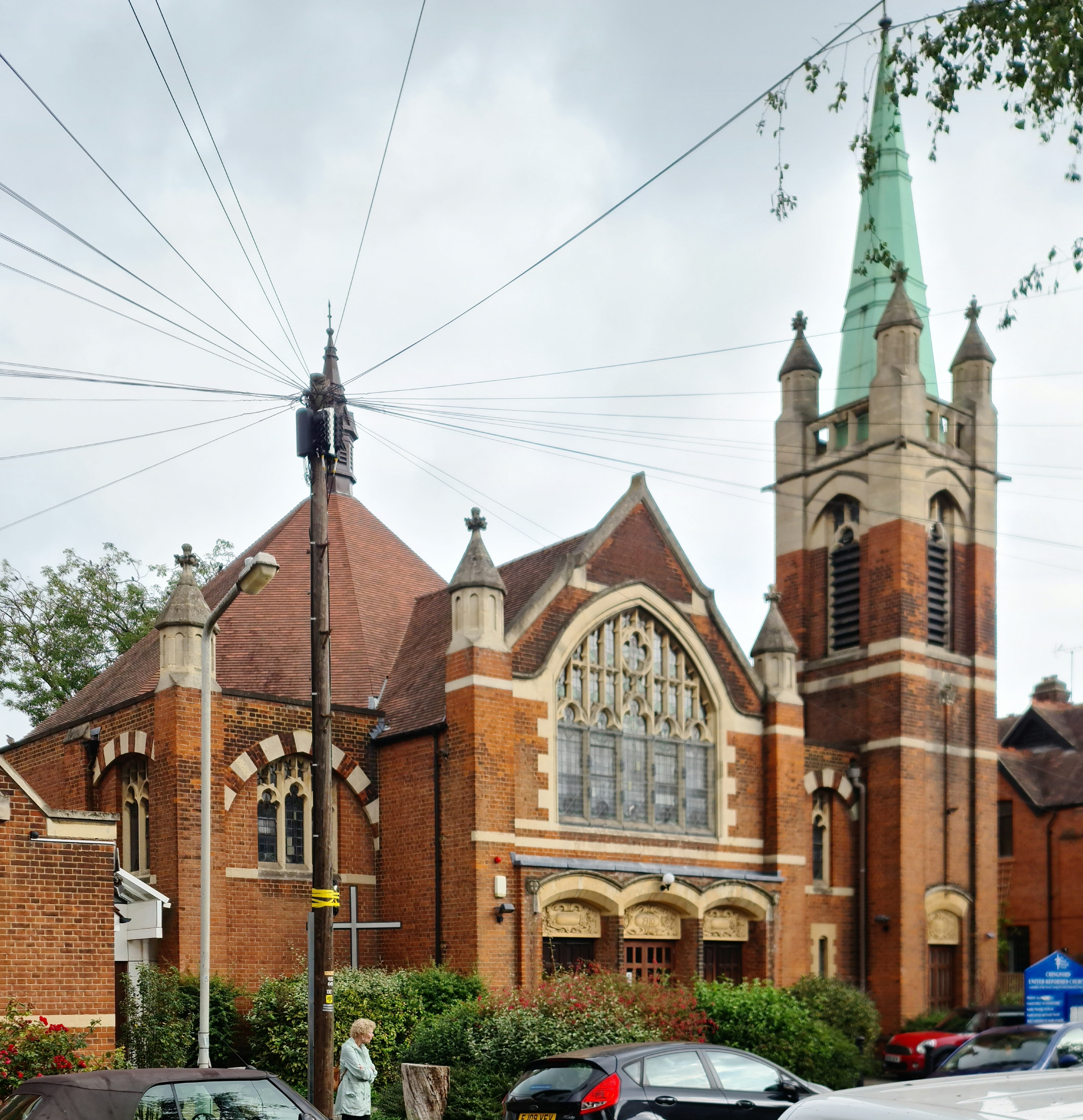
Chingford United Reformed Church
Chingford United Reformed Church is a Grade II listed United Reformed Church at Buxton Road, Chingford, in the London Borough of Waltham Forest. ��2�...
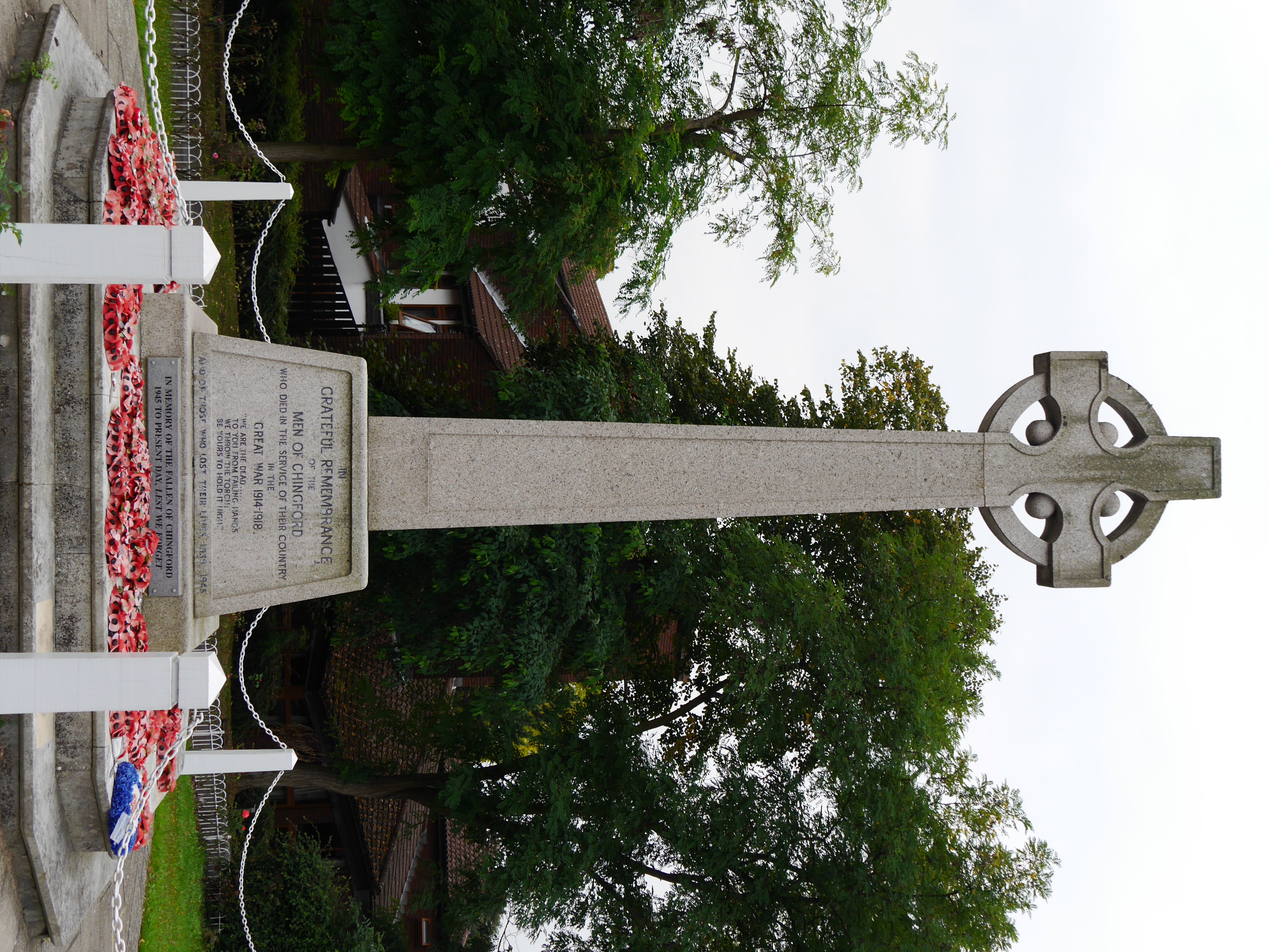
Chingford War Memorial
Chingford War Memorial is a Grade II listed war memorial cross at the junction of King's Head Hill and The Ridgeway, Chingford, London, E4.It was unveiled...
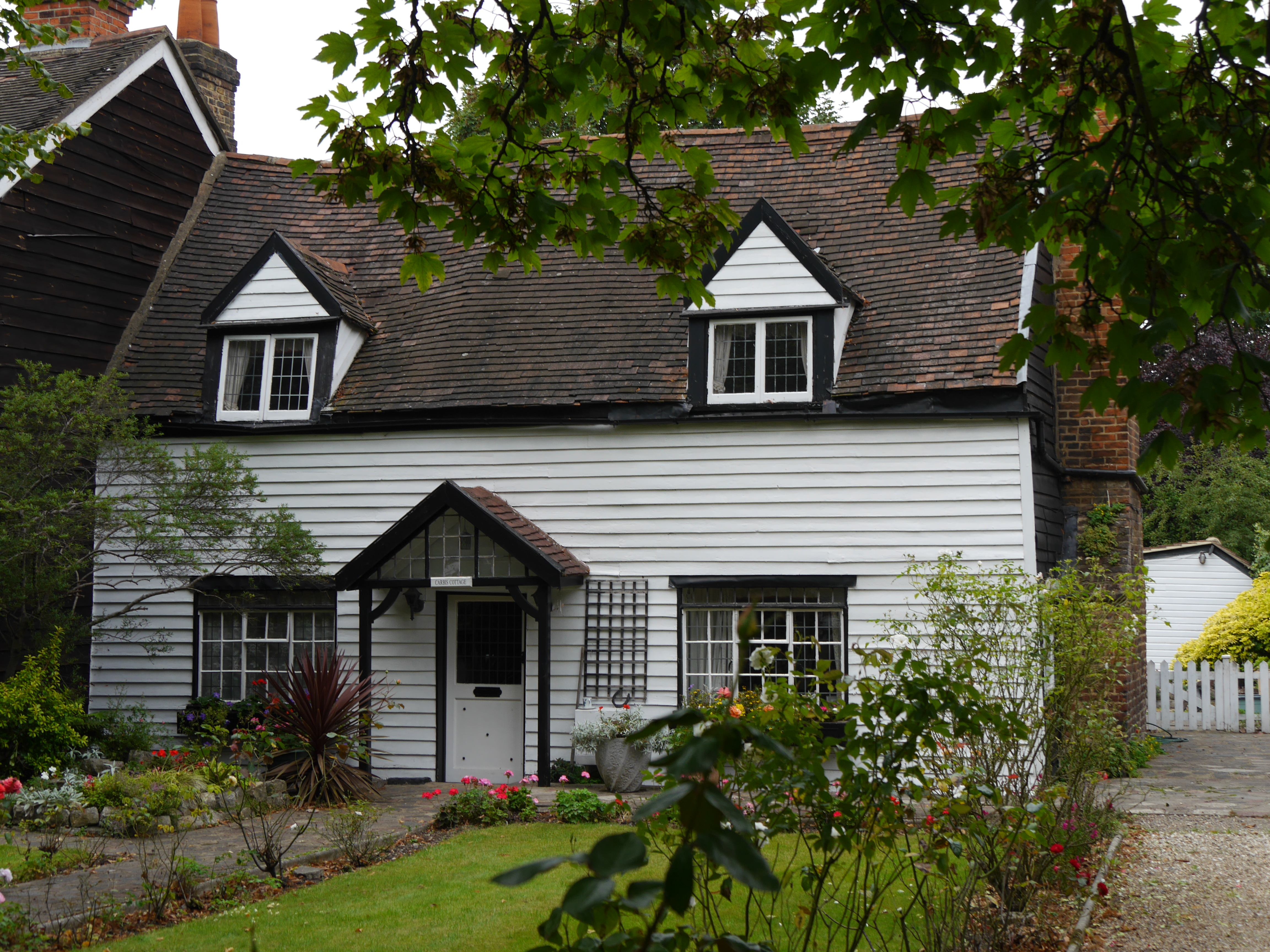
Carbis Cottage
Carbis Cottage is a Grade II listed house at The Green, Chingford, London, E4 7EN.It was probably built in the 17th century. == References ==
Normanhurst School
Normanhurst School is a mixed private school in Chingford, located in the London Borough of Waltham Forest. The school caters for around 285 boys and girls...
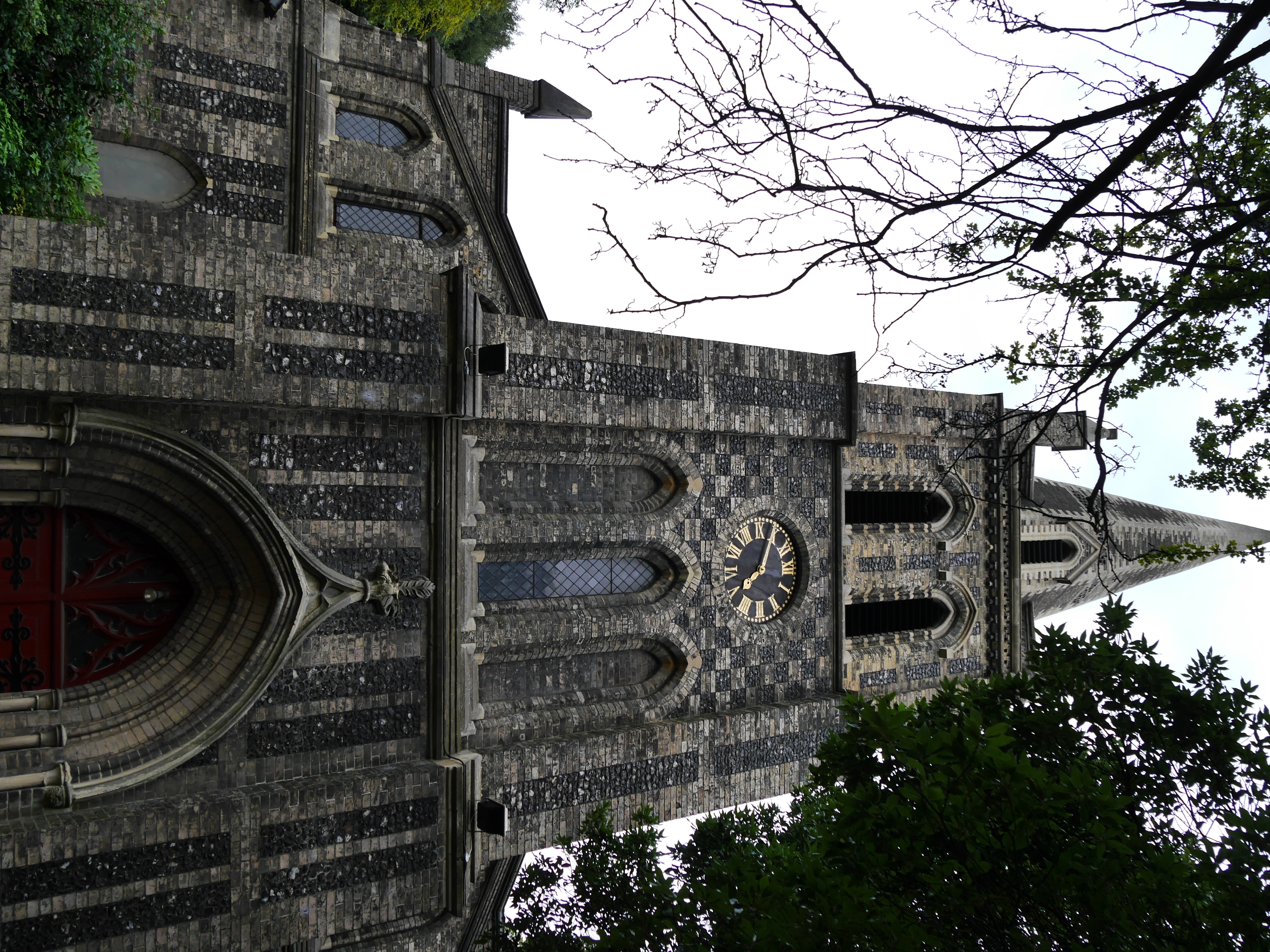
St Peter and St Paul, Chingford
St Peter and St Paul is a Church of England parish church in Chingford, London. The church is a Grade II* listed building. == History == It was built in...
Nearby Amenities
Located within 500m of 51.638627,-0.000263393Have you been to The Hawk Wood?
Leave your review of The Hawk Wood below (or comments, questions and feedback).