New Pasture
Urban Greenspace in Huntingdonshire Huntingdonshire
England
New Pasture
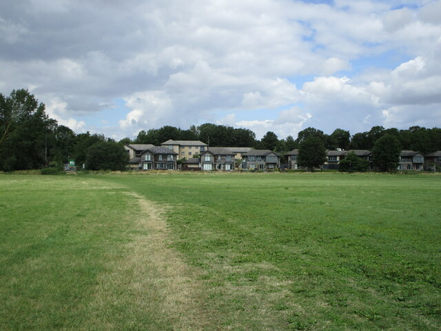
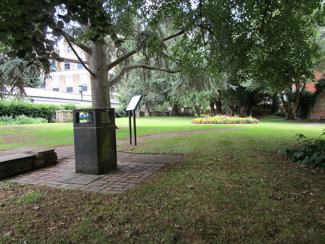
New Pasture is a well-maintained urban greenspace located in Huntingdonshire, a district in Cambridgeshire, England. Nestled amidst the quaint town, the greenspace serves as a popular recreational area for both locals and visitors alike.
Covering approximately 10 acres, New Pasture offers a picturesque landscape dotted with lush green grass, mature trees, and vibrant flower beds. The well-manicured lawns provide ample space for various outdoor activities such as picnicking, sports, and leisurely walks. Families often flock to the park to enjoy its playgrounds, which feature modern equipment for children of all ages.
Furthermore, New Pasture boasts excellent amenities to cater to the needs of its visitors. Public toilets are conveniently located near the entrance, ensuring a comfortable experience for all. The park also offers ample parking facilities, making it easily accessible to those arriving by car.
The greenspace is renowned for its tranquil atmosphere, providing a welcome escape from the hustle and bustle of daily life. It serves as a haven for wildlife enthusiasts, as numerous species of birds, butterflies, and small mammals can be observed in their natural habitat.
New Pasture is a cherished community asset, with regular events and festivals taking place throughout the year. These include open-air concerts, art exhibitions, and seasonal celebrations, which bring the community together and add vibrancy to the park.
In summary, New Pasture in Huntingdonshire is a well-maintained urban greenspace that offers a peaceful retreat for residents and visitors. Its beautiful landscape, recreational facilities, and community events make it a beloved destination for all ages.
If you have any feedback on the listing, please let us know in the comments section below.
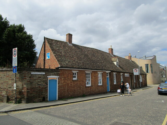
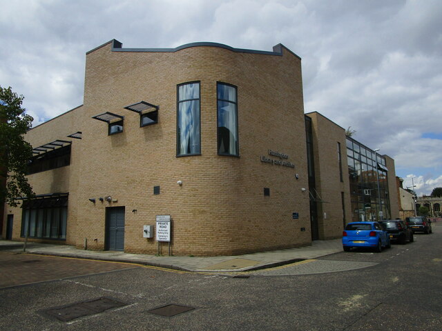
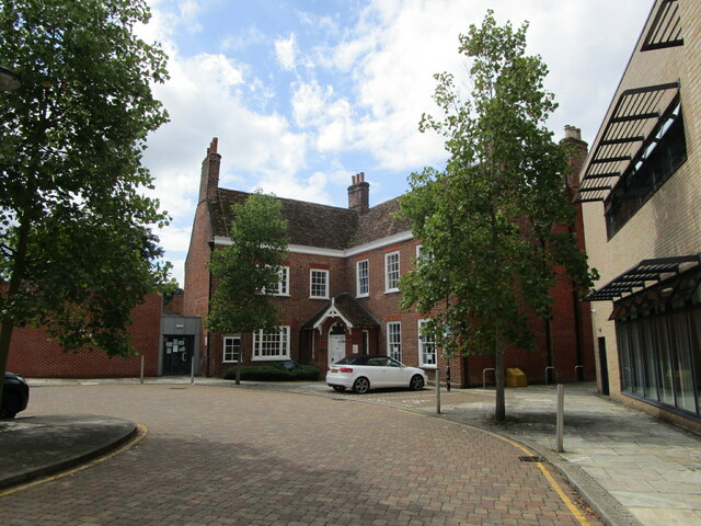
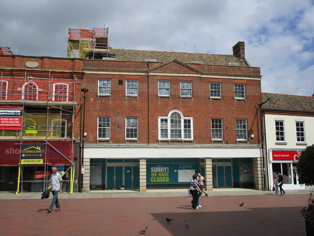
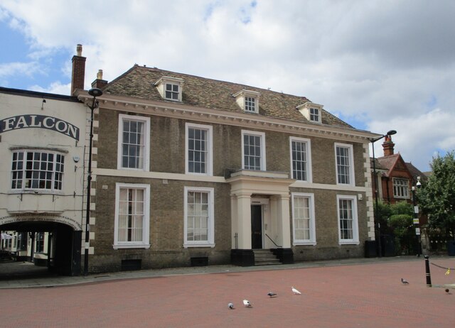
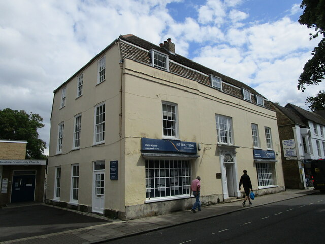
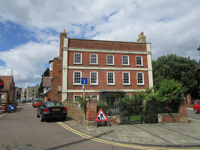
New Pasture Images
Images are sourced within 2km of 52.337746/-0.2038362 or Grid Reference TL2272. Thanks to Geograph Open Source API. All images are credited.


New Pasture is located at Grid Ref: TL2272 (Lat: 52.337746, Lng: -0.2038362)
Administrative County: Cambridgeshire
District: Huntingdonshire
Police Authority: Cambridgeshire
What 3 Words
///fetches.truck.cupboards. Near Huntingdon, Cambridgeshire
Nearby Locations
Related Wikis

Spittals Interchange
Spittals Interchange is the roundabout on the junction between the A141 and A1307 north of Huntingdon, England. The junction is unusual in that pre 2020...
Sedgwick Club
The Sedgwick Club is the official student geological society at the University of Cambridge, and is the oldest student-run geological society in the world...

Hinchingbrooke Hospital
Hinchingbrooke Hospital is a small district general hospital in Hinchingbrooke near Huntingdon, Cambridgeshire. Opened in 1983, it serves the Huntingdonshire...
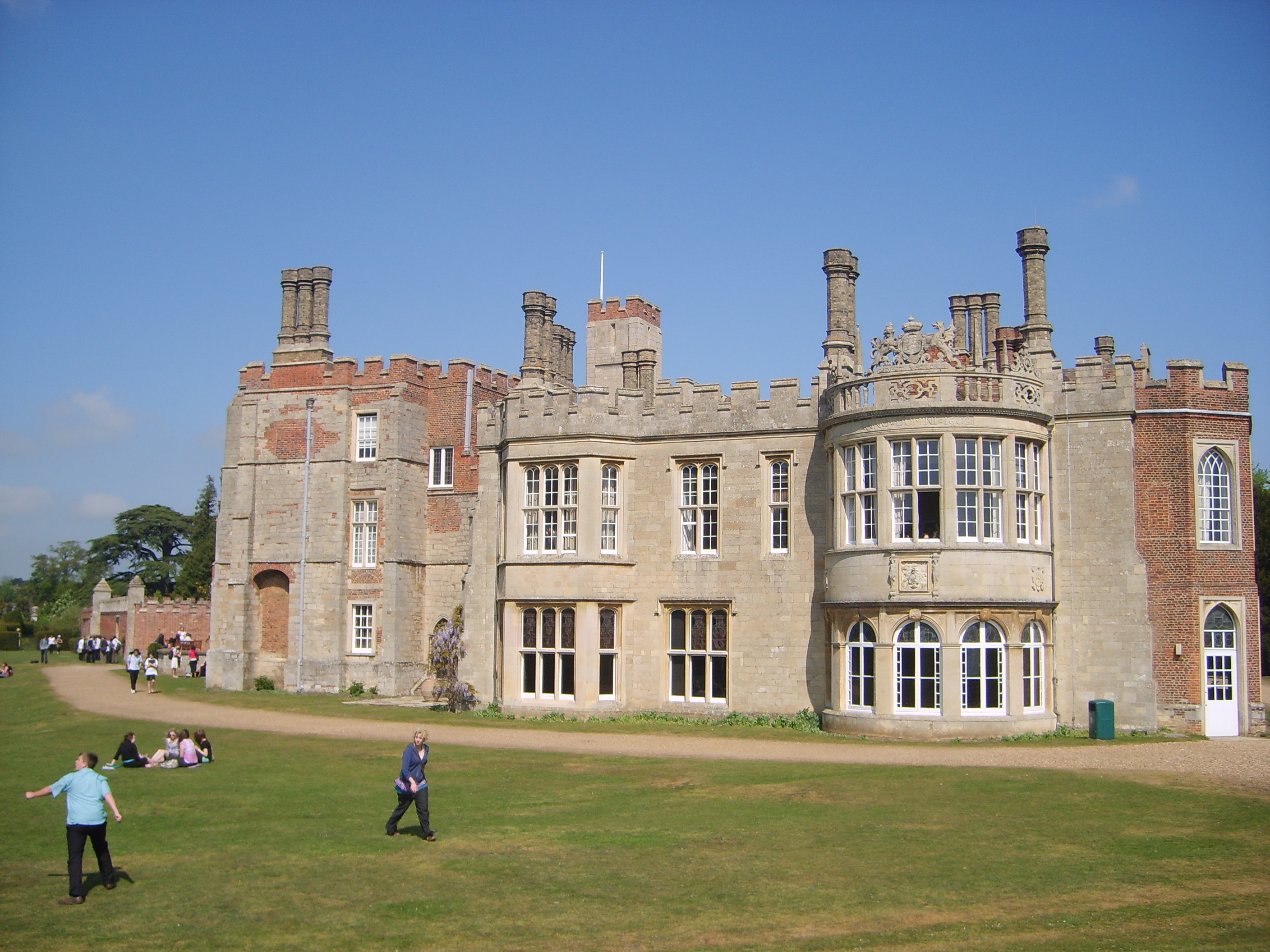
Hinchingbrooke House
Hinchingbrooke House is an English stately home in Huntingdon, Cambridgeshire, now part of Hinchingbrooke School. The house was built around an 11th-century...
Hinchingbrooke School
Hinchingbrooke School is a large secondary school situated on the outskirts of Huntingdon in Cambridgeshire, historically in Huntingdonshire. Originally...
St Peter's School, Huntingdon
St Peter's School is a co-educational secondary school and sixth form located in Huntingdon in the English county of Cambridgeshire. == History == St Peter...

Huntingdon railway station
Huntingdon railway station (formerly known as Huntingdon North) serves the market town of Huntingdon in Cambridgeshire, England. It is on the East Coast...

Huntingdon East railway station
Huntingdon East railway station served the town of Huntingdon, Cambridgeshire, England from 1883 to 1959. == History == The station opened on 1 May 1883...
Nearby Amenities
Located within 500m of 52.337746,-0.2038362Have you been to New Pasture?
Leave your review of New Pasture below (or comments, questions and feedback).