Back Green
Urban Greenspace in Surrey
England
Back Green
Back Green in Surrey is a charming urban greenspace located in the heart of the city. This tranquil oasis offers a peaceful retreat from the hustle and bustle of urban life, providing a welcome respite for visitors seeking a moment of relaxation in nature.
The park features lush green lawns, mature trees, and colorful flowers, creating a picturesque setting for picnics, leisurely strolls, and outdoor activities. Well-maintained walking paths wind through the park, offering opportunities for visitors to explore and enjoy the natural beauty of the surroundings.
Back Green is a popular destination for families, couples, and individuals looking to unwind and connect with nature. The park also hosts various events and activities throughout the year, including outdoor concerts, food festivals, and community gatherings.
Overall, Back Green is a beloved greenspace in Surrey that offers a peaceful retreat for visitors of all ages. Whether you're looking to relax, exercise, or simply enjoy the beauty of nature, this urban oasis is the perfect place to escape and unwind.
If you have any feedback on the listing, please let us know in the comments section below.
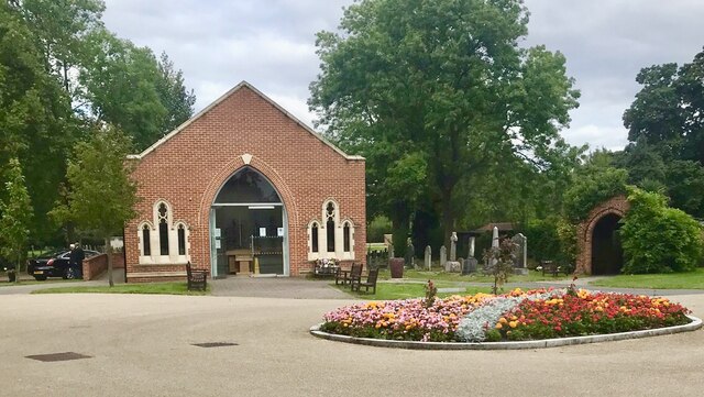
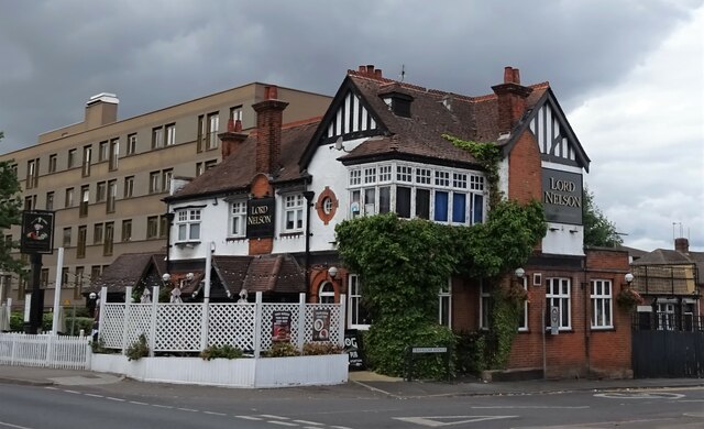
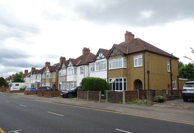
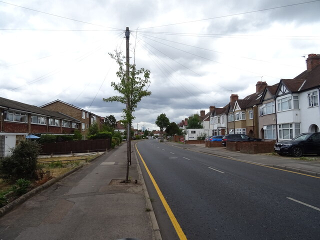
Back Green Images
Images are sourced within 2km of 51.381579/-0.2436315 or Grid Reference TQ2266. Thanks to Geograph Open Source API. All images are credited.


Back Green is located at Grid Ref: TQ2266 (Lat: 51.381579, Lng: -0.2436315)
Unitary Authority: Sutton
Police Authority: Metropolitan
What 3 Words
///label.tribes.outfit. Near New Malden, London
Nearby Locations
Related Wikis

Worcester Park F.C.
Worcester Park Football Club is a football club based in Worcester Park in the London Borough of Sutton, England. Part of the Worcester Park Athletic Club...
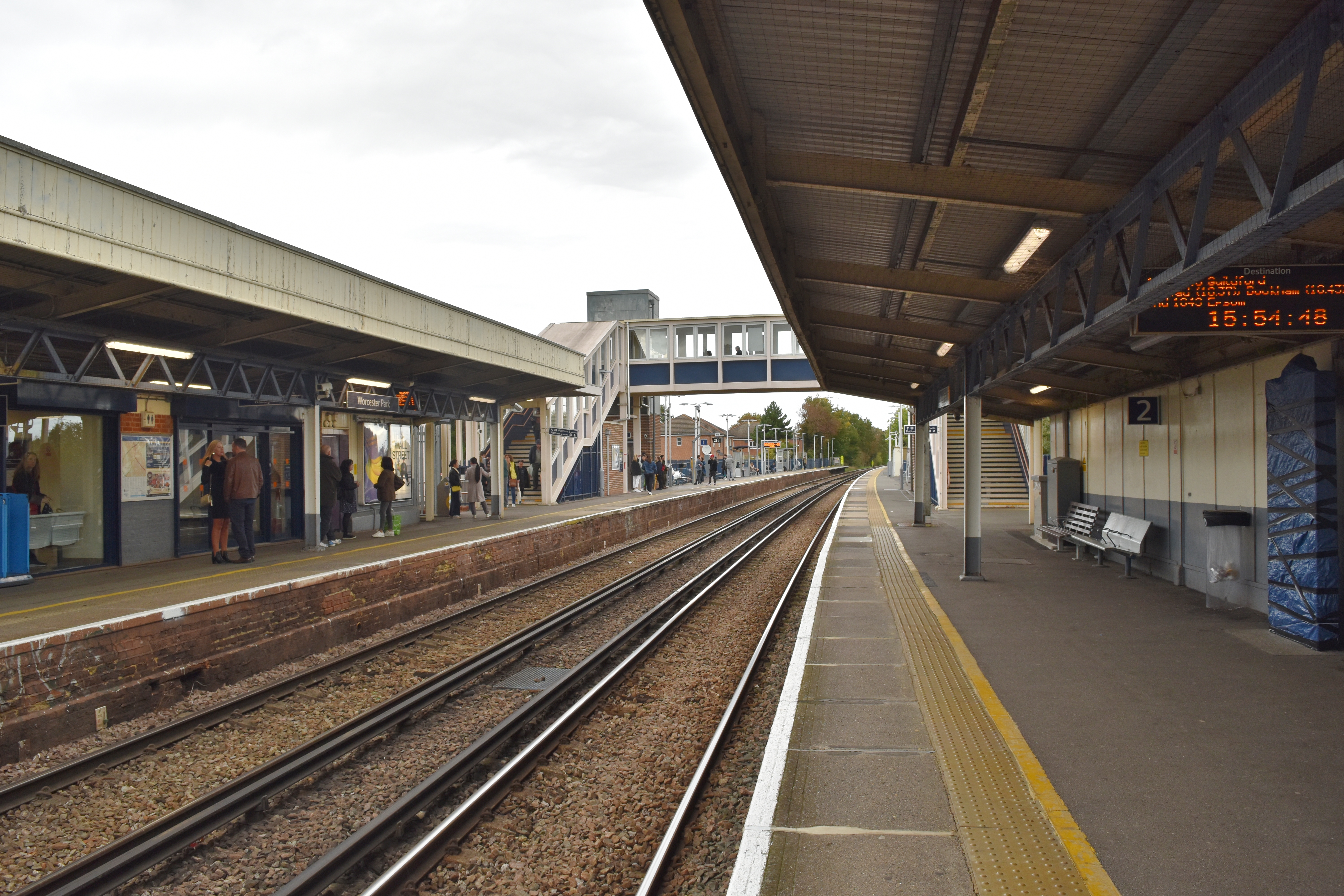
Worcester Park railway station
Worcester Park railway station serves the Worcester Park area in south-west London, England. It is 10 miles 53 chains (17.2 km) down the line from London...
Worcester Park
Worcester Park is a suburban town in South West London, England. It lies in the London boroughs of Sutton and Kingston, and partly in the Surrey borough...
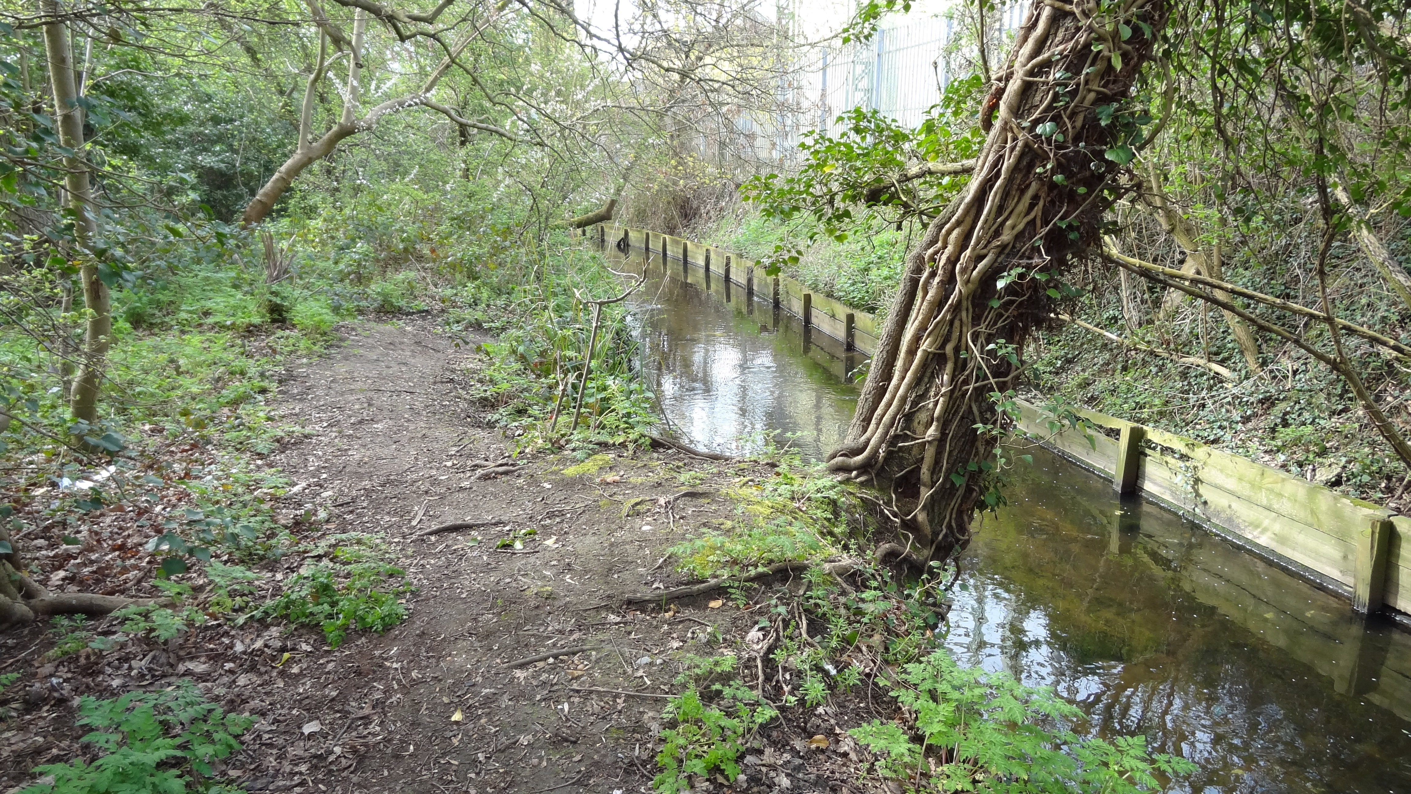
Sir Joseph Hood Memorial Wood
Sir Joseph Hood Memorial Wood is a 1.7 hectare Local Nature Reserve and a Site of Borough Importance for Nature Conservation, Grade I, in Motspur Park...
Nearby Amenities
Located within 500m of 51.381579,-0.2436315Have you been to Back Green?
Leave your review of Back Green below (or comments, questions and feedback).