Apps Court Green
Urban Greenspace in Surrey Elmbridge
England
Apps Court Green
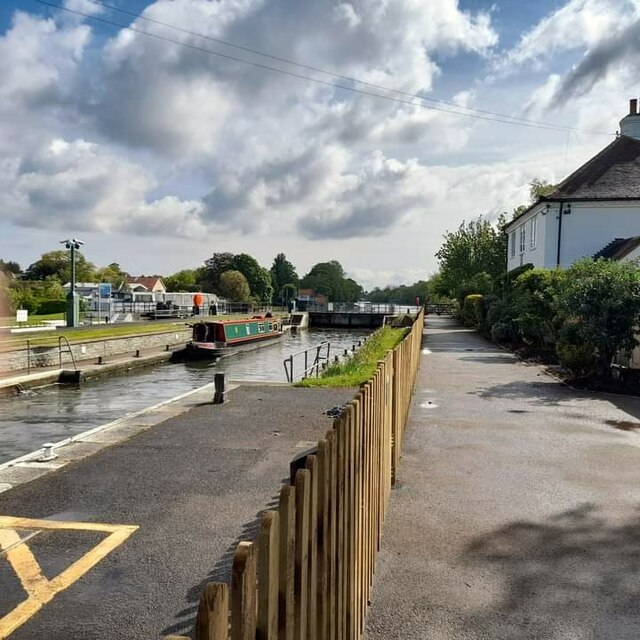
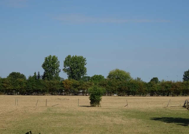
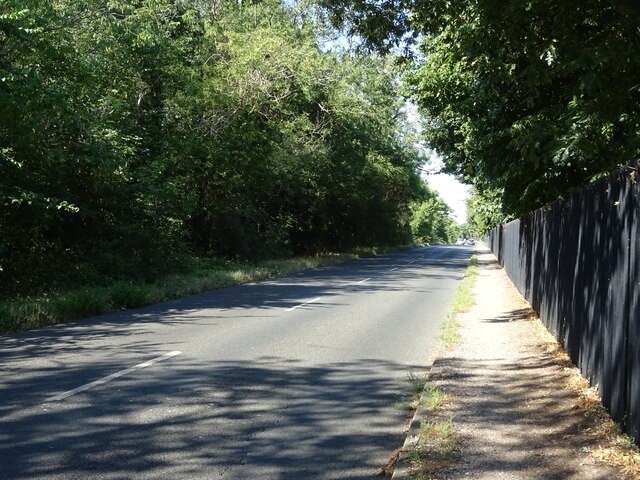
Apps Court Green is a picturesque urban greenspace located in Surrey, England. Situated in the village of Walton-on-Thames, this green oasis covers an area of approximately 19 acres, providing a tranquil escape from the hustle and bustle of city life.
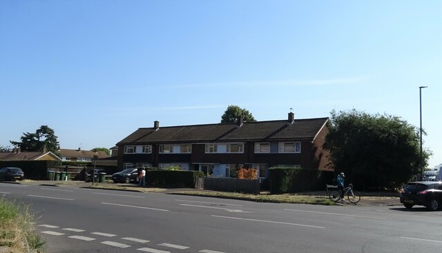
The site offers a diverse range of recreational activities and amenities for visitors of all ages. The expansive green fields are ideal for picnics, ball games, and leisurely walks, while the well-maintained pathways provide an opportunity for jogging or cycling. The park also features a children's playground, complete with colorful play equipment, ensuring little ones are entertained.
One of the key attractions of Apps Court Green is its stunning riverside location. The park is nestled along the banks of the River Thames, offering breathtaking views and opportunities for boating and fishing. A dedicated boat ramp provides easy access for water enthusiasts, allowing them to enjoy a day of sailing or kayaking. Anglers can be seen casting their lines, hoping to catch a variety of fish species that inhabit the river.
The park has ample parking facilities and well-maintained toilets for visitors’ convenience. Additionally, there is a small café on site, serving refreshments and light snacks.
Apps Court Green is a popular spot for community events and festivals throughout the year. It regularly hosts concerts, fairs, and sporting events, attracting both locals and tourists. The green space is well-maintained and managed, offering a serene and welcoming environment for visitors seeking a peaceful retreat or an active day out in nature.
If you have any feedback on the listing, please let us know in the comments section below.
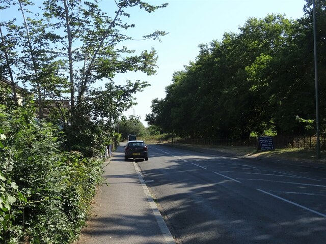
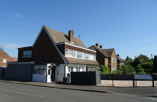
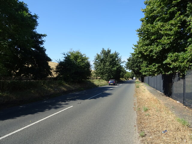
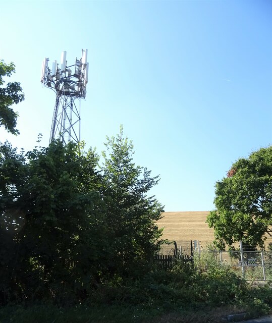
Apps Court Green Images
Images are sourced within 2km of 51.396229/-0.40208553 or Grid Reference TQ1167. Thanks to Geograph Open Source API. All images are credited.


Apps Court Green is located at Grid Ref: TQ1167 (Lat: 51.396229, Lng: -0.40208553)
Administrative County: Surrey
District: Elmbridge
Police Authority: Surrey
What 3 Words
///live.rainy.pans. Near Walton-on-Thames, Surrey
Nearby Locations
Related Wikis
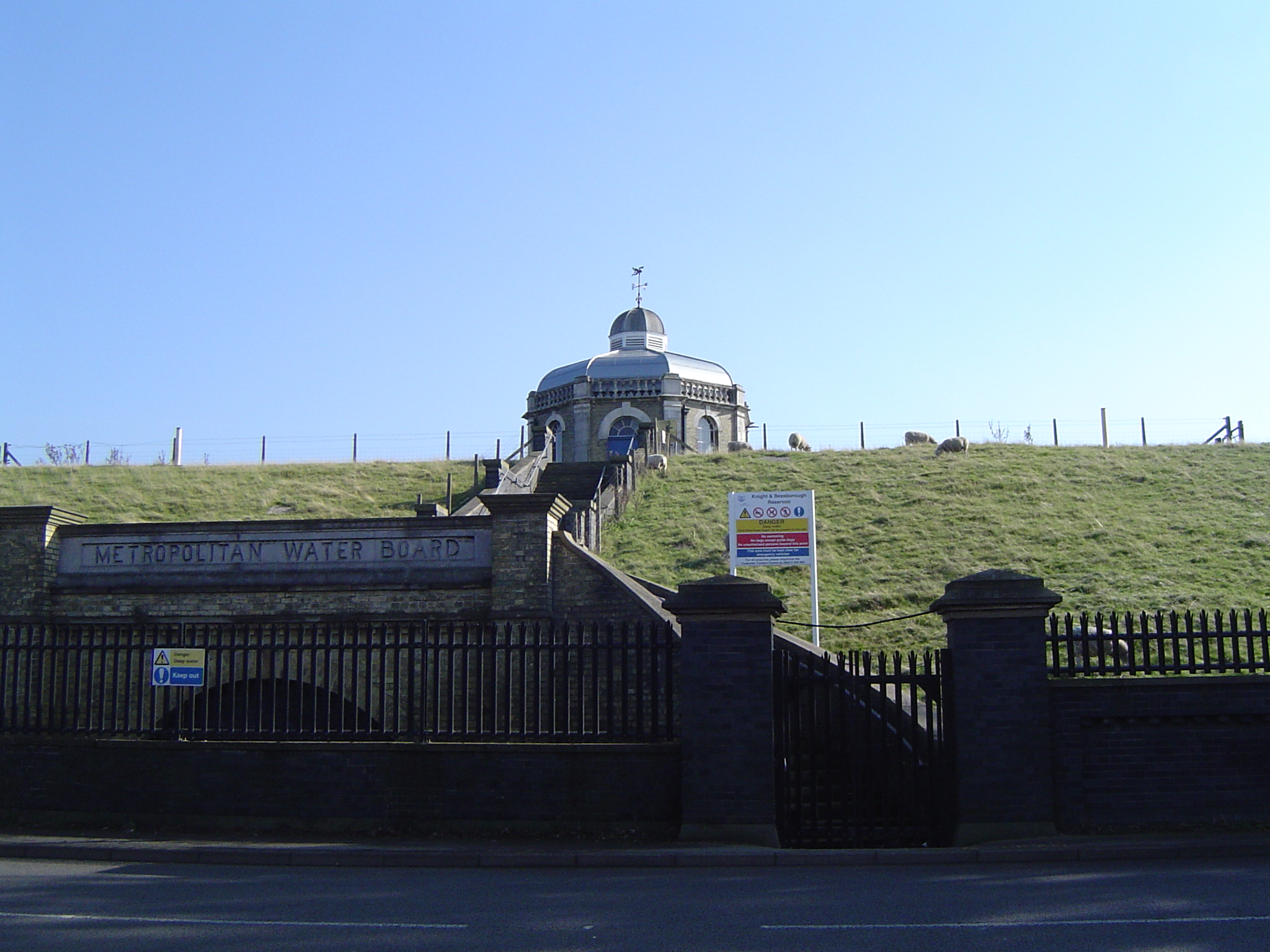
Knight Reservoir
The Knight Reservoir is a large pumped storage reservoir located in the Borough of Elmbridge in Surrey. It was inaugurated in 1907 and stores up to 2,180...
Knight and Bessborough Reservoirs
Knight and Bessborough Reservoirs is a 63.4-hectare (157-acre) biological Site of Special Scientific Interest in Walton-on-Thames in Surrey. It is part...

Walton & Hersham F.C.
Walton & Hersham Football Club is a semi-professional football club based in Walton-on-Thames, Surrey. Founded in 1945 following the amalgamation of Walton...
Walton Casuals F.C.
Walton Casuals Football Club was a football club based in Walton-on-Thames, Surrey. Founded in 1948, the club was affiliated to the Surrey County Football...
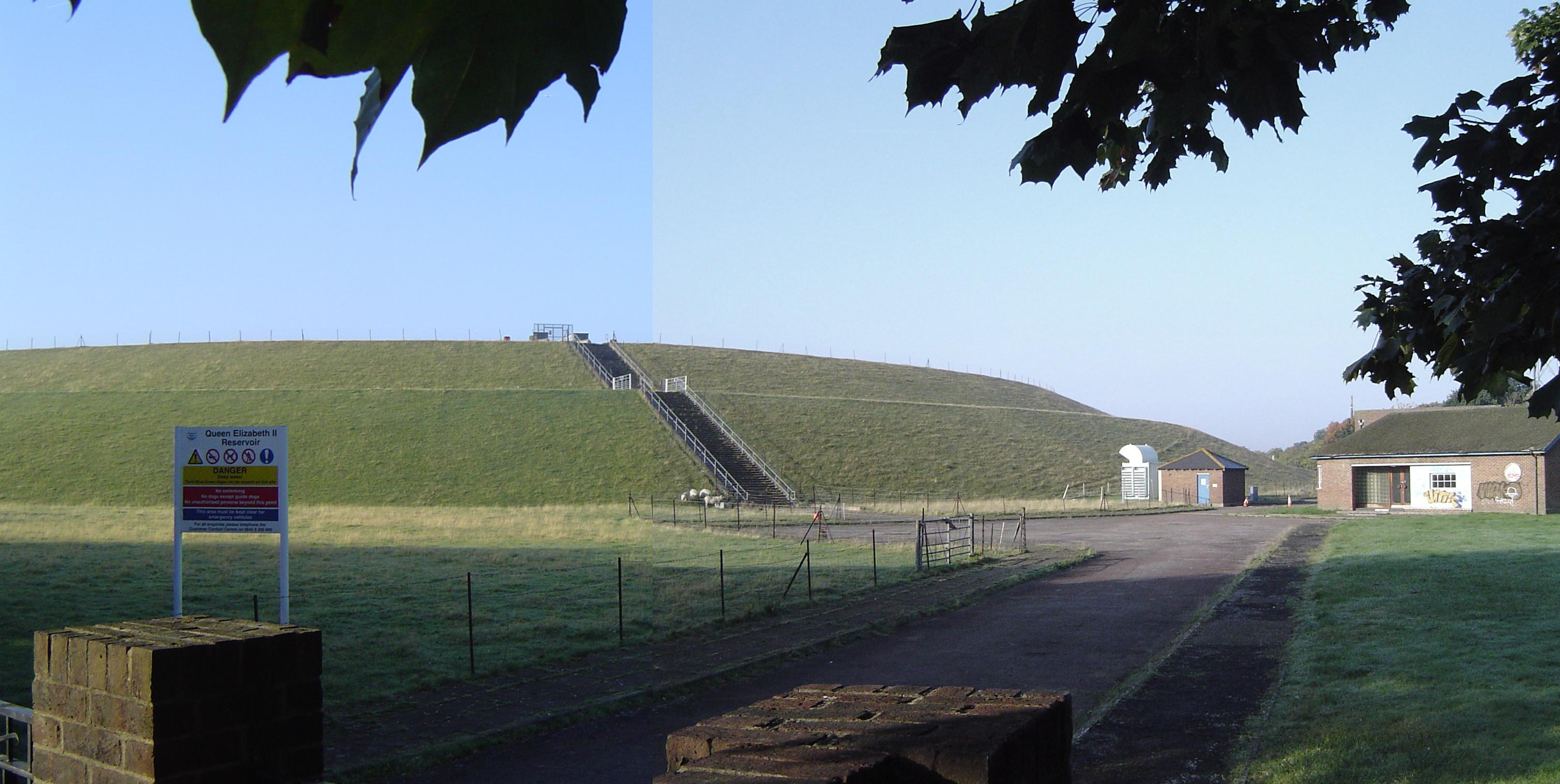
Queen Elizabeth II Reservoir
The Queen Elizabeth II Reservoir lies to the south of the River Thames and to the west of the Island Barn Reservoir. To the north are the Bessborough and...

Wheatley's Ait
Wheatley's Ait or Wheatley Eyot is an ait (island) in the River Thames of approximately 8 hectares (20 acres) on the reach above Sunbury Lock, close to...

Sunbury Lock Ait
Sunbury Lock Ait is the ait (island) in the River Thames in England adjacent to Sunbury Lock between Walton-on-Thames, and Sunbury-on-Thames, Surrey. It...
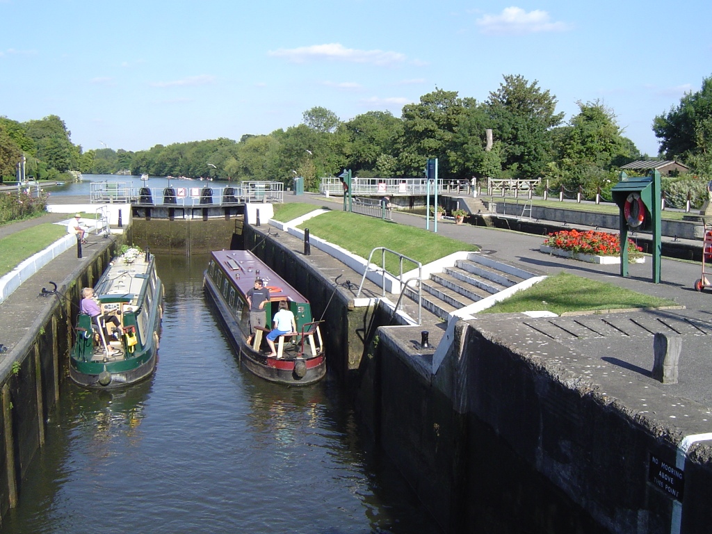
Sunbury Lock
Sunbury Lock is a lock complex of the River Thames in England near Walton-on-Thames in north-west Surrey, the third lowest of forty four on the non-tidal...
Nearby Amenities
Located within 500m of 51.396229,-0.40208553Have you been to Apps Court Green?
Leave your review of Apps Court Green below (or comments, questions and feedback).