Ascot Heath
Urban Greenspace in Berkshire
England
Ascot Heath
Ascot Heath is a picturesque urban greenspace located in Berkshire, England. Spanning over 100 acres, it is situated in the town of Ascot, renowned for its horse racing heritage. The heathland is a designated Site of Special Scientific Interest (SSSI) and is managed by the Royal Borough of Windsor and Maidenhead.
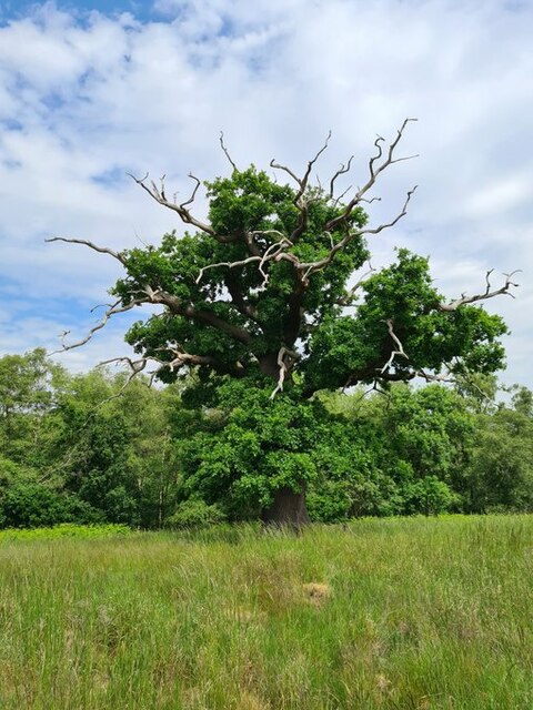
Ascot Heath boasts a diverse range of flora and fauna, making it a haven for nature enthusiasts. The heathland consists of large areas of heather, gorse, and grassland, creating a unique habitat for many species. It is particularly known for its rare plants, such as the slender St. John's wort and the delicate marsh gentian.
The greenspace offers a tranquil escape for visitors seeking peace and serenity. Walking trails meander through the heath, providing opportunities to explore the area's natural beauty. Additionally, the open spaces are ideal for picnicking, dog walking, and recreational activities.
Ascot Heath also houses several ponds, attracting a variety of wildlife such as ducks, dragonflies, and frogs. These water features add to the allure of the greenspace, providing a serene environment and attracting bird species like kestrels, skylarks, and stonechats.
The site is well-maintained, with regular conservation work carried out to preserve the unique ecosystem. Information boards and signposts are scattered throughout the area, offering insights into the flora and fauna that call Ascot Heath home.
Overall, Ascot Heath is a valuable urban greenspace in Berkshire, offering a blend of natural beauty, biodiversity, and recreational opportunities for visitors of all ages.
If you have any feedback on the listing, please let us know in the comments section below.
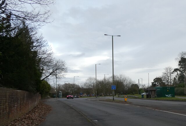
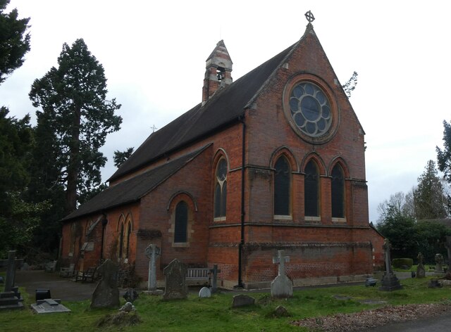
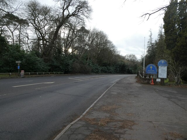
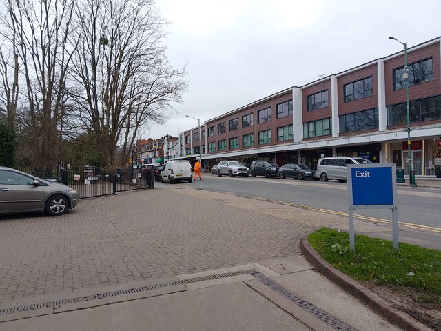
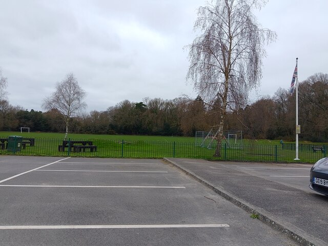
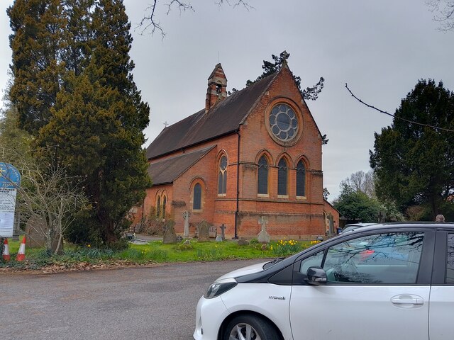
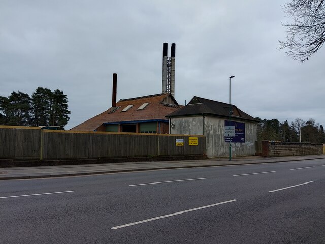
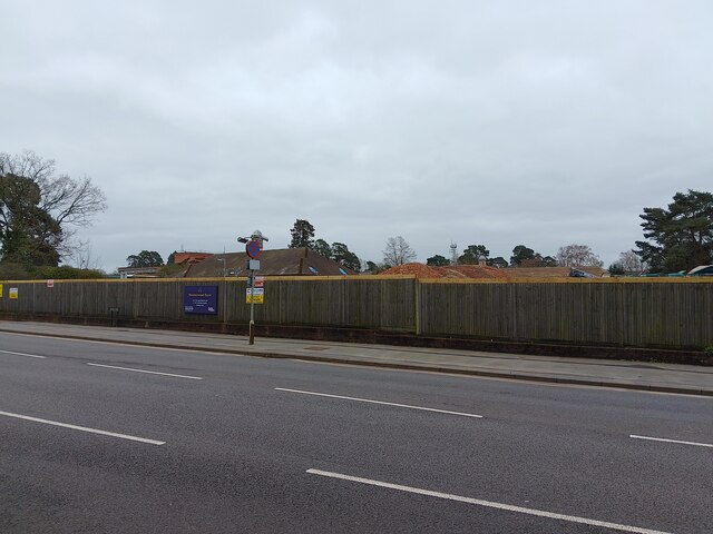
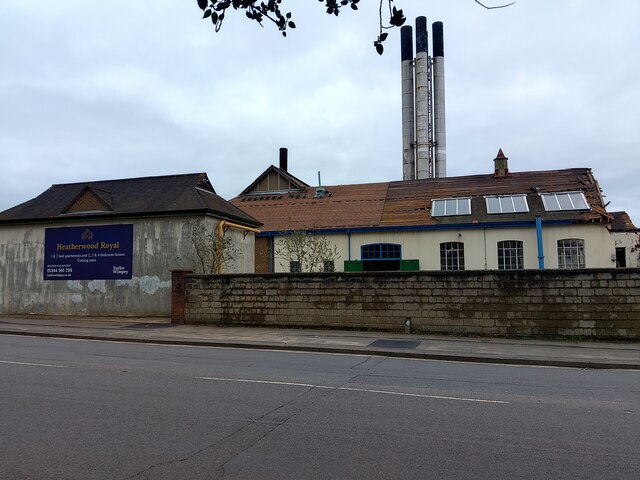
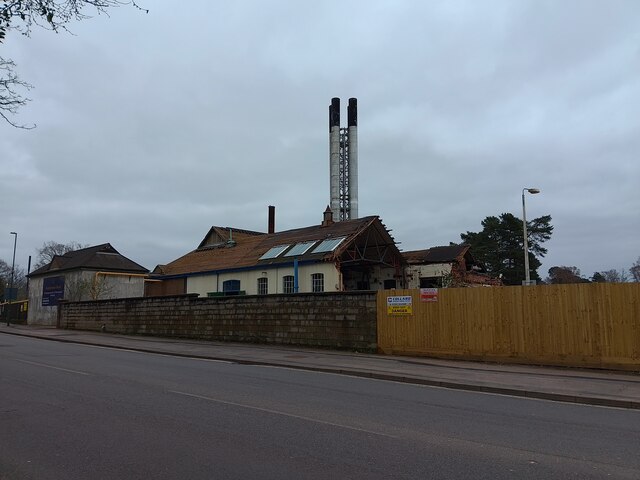
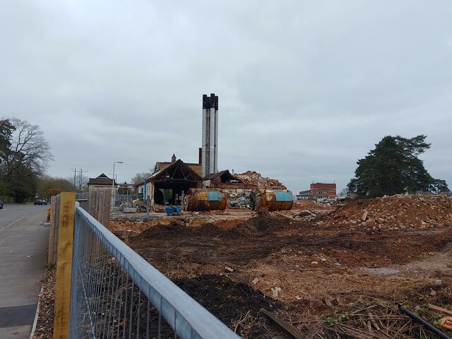
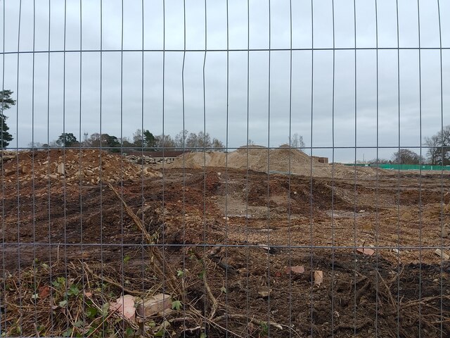
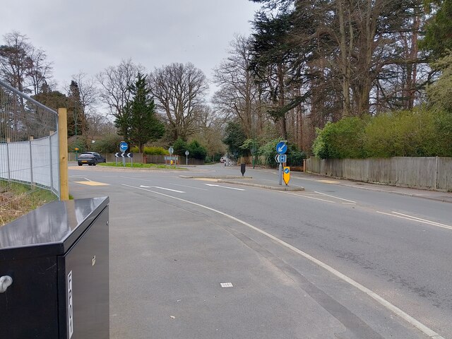
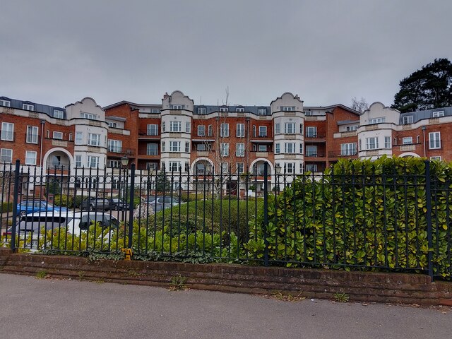
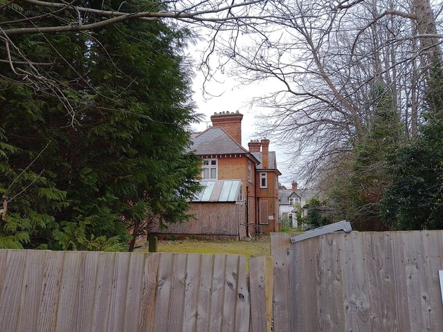
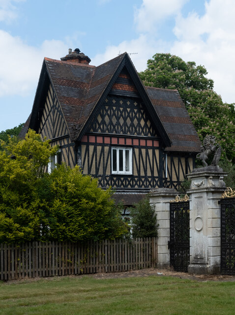
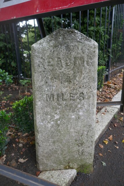
Ascot Heath Images
Images are sourced within 2km of 51.416697/-0.67715622 or Grid Reference SU9269. Thanks to Geograph Open Source API. All images are credited.
Ascot Heath is located at Grid Ref: SU9269 (Lat: 51.416697, Lng: -0.67715622)
Unitary Authority: Windsor and Maidenhead
Police Authority: Thames Valley
What 3 Words
///output.payer.sailor. Near Ascot, Berkshire
Nearby Locations
Related Wikis

Ascot Racecourse
Ascot Racecourse is a dual-purpose British racecourse, located in Ascot, Berkshire, England, about 25 miles west of London. Ascot is used for thoroughbred...

2016 Red Bull Air Race of Ascot
The 2016 Red Bull Air Race of Ascot was the fifth round of the 2016 Red Bull Air Race World Championship season, the eleventh season of the Red Bull Air...
Papplewick School
Papplewick School is a non-selective independent day and boarding preparatory school for boys aged 6–13 (Years 2–8) in Ascot, England. It occupies a 15...

Ascot Gold Cup
The Gold Cup is a Group 1 flat horse race in Great Britain open to horses aged four years or older. It is run at Ascot over a distance of 2 miles 3 furlongs...
North Ascot
North Ascot is an area of Bracknell Forest in the county of Berkshire in England, with a few acres straddling the town of Ascot in the Royal Borough of...
Royal Ascot Golf Club
The Ascot Golf Club was founded in 1887, and became a Royal Club by command of Queen Victoria later that year. It is the second oldest, and the only Royal...
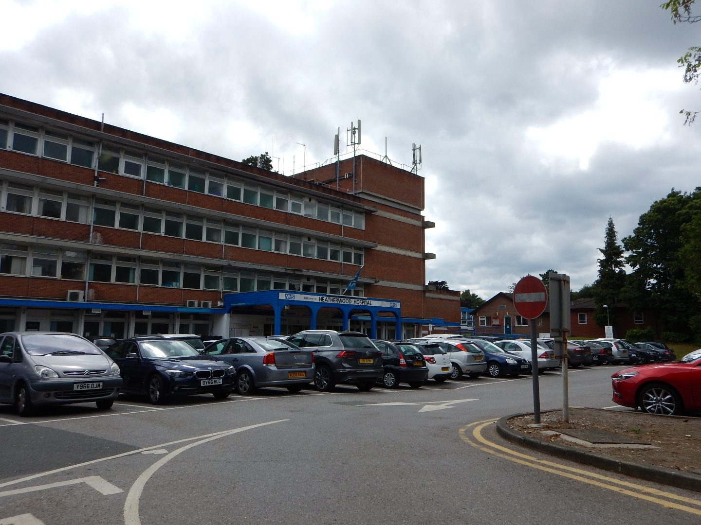
Heatherwood Hospital
Heatherwood Hospital is an NHS hospital in Ascot, Berkshire. It is managed by Frimley Health NHS Foundation Trust. == History == The hospital has its origins...
Brookside, Berkshire
Brookside is a village in the civil parish of Winkfield in the county of Berkshire, England.The settlement lies east of the A332 road and is approximately...
Nearby Amenities
Located within 500m of 51.416697,-0.67715622Have you been to Ascot Heath?
Leave your review of Ascot Heath below (or comments, questions and feedback).