Doncaster Common
Urban Greenspace in Yorkshire
England
Doncaster Common

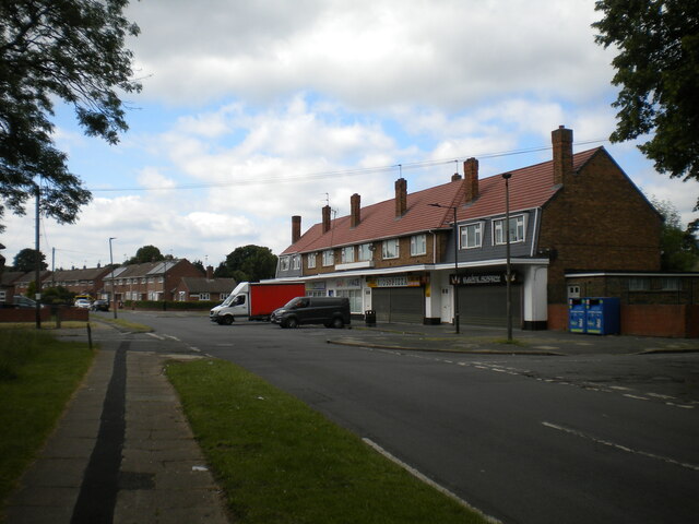
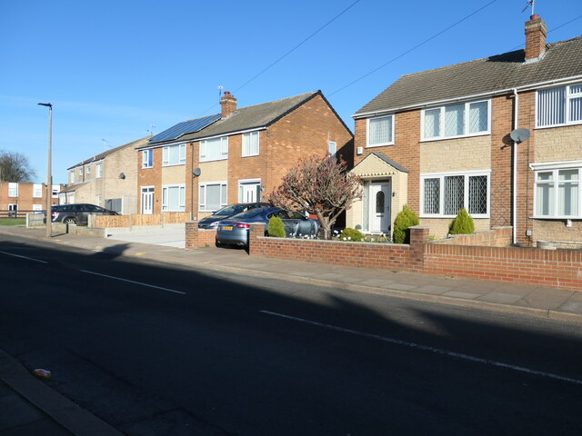
Doncaster Common is a picturesque urban greenspace located in the town of Doncaster, South Yorkshire, England. Spanning over 20 hectares, it is a cherished recreational area for both locals and visitors alike. The site is easily accessible, situated just a short distance from the town center.
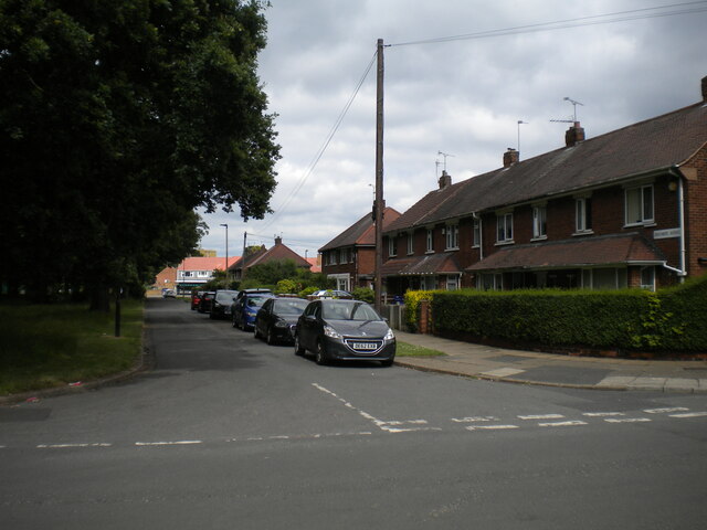
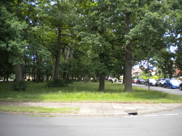
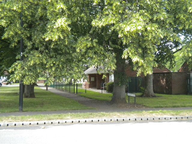
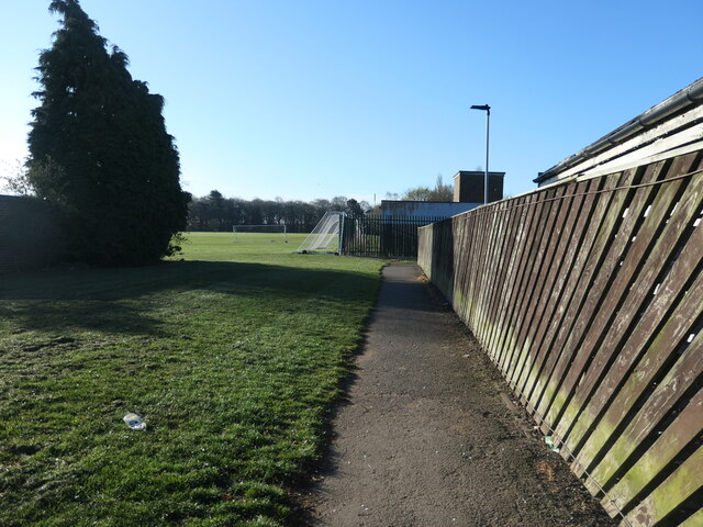
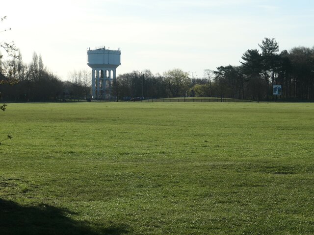
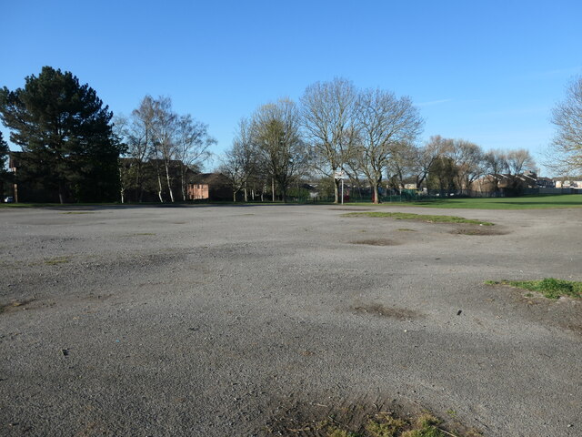
The common is predominantly made up of a mix of grassland and woodland, creating a diverse and vibrant natural environment. The grassland areas are well-maintained and provide ample space for leisure activities such as picnics, sports, and dog walking. The woodlands, on the other hand, offer a peaceful retreat and are home to a variety of flora and fauna, including native trees like oak, birch, and willow.
Doncaster Common boasts several walking trails, allowing visitors to explore the area's natural beauty while enjoying a peaceful stroll. The paths are well-marked and offer excellent views of the surrounding scenery. Along the way, visitors may also come across a scenic pond, which adds an additional charm to the landscape.
The common has a rich history, dating back many centuries. It was once a grazing ground for livestock and played a significant role in the local agricultural industry. Today, it serves as an important green lung within the urban landscape, providing a haven for wildlife and a place for people to connect with nature.
Doncaster Common is a popular destination throughout the year, with its vibrant colors in spring and summer, and its peaceful ambiance in autumn and winter. It serves as a valuable asset to the local community, offering a tranquil space to relax, exercise, and appreciate the natural world.
If you have any feedback on the listing, please let us know in the comments section below.
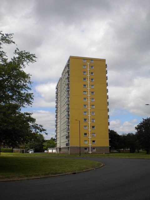
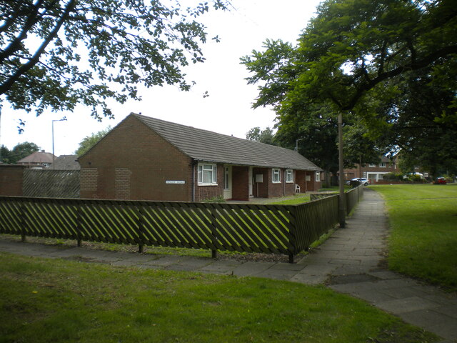
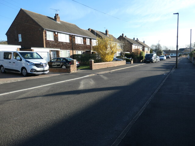
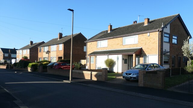
Doncaster Common Images
Images are sourced within 2km of 53.521053/-1.0914808 or Grid Reference SE6003. Thanks to Geograph Open Source API. All images are credited.


Doncaster Common is located at Grid Ref: SE6003 (Lat: 53.521053, Lng: -1.0914808)
Division: West Riding
Unitary Authority: Doncaster
Police Authority: South Yorkshire
What 3 Words
///pushy.trade.adjust. Near Doncaster, South Yorkshire
Nearby Locations
Related Wikis
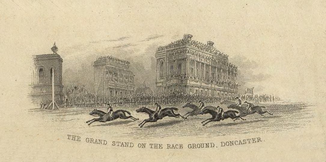
Doncaster Racecourse
Doncaster Racecourse (also known as the Town Moor course) is a racecourse in Doncaster, South Yorkshire, England. It hosts two of Great Britain's 36 annual...
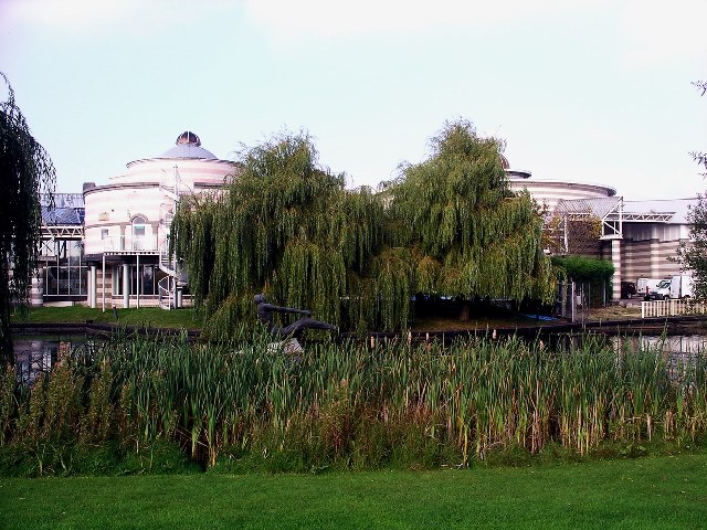
Dome Leisure Centre
The Dome Leisure Centre is an arena and leisure centre in Doncaster, England, commonly referred to as The Dome or Doncaster Dome. It has a swimming complex...
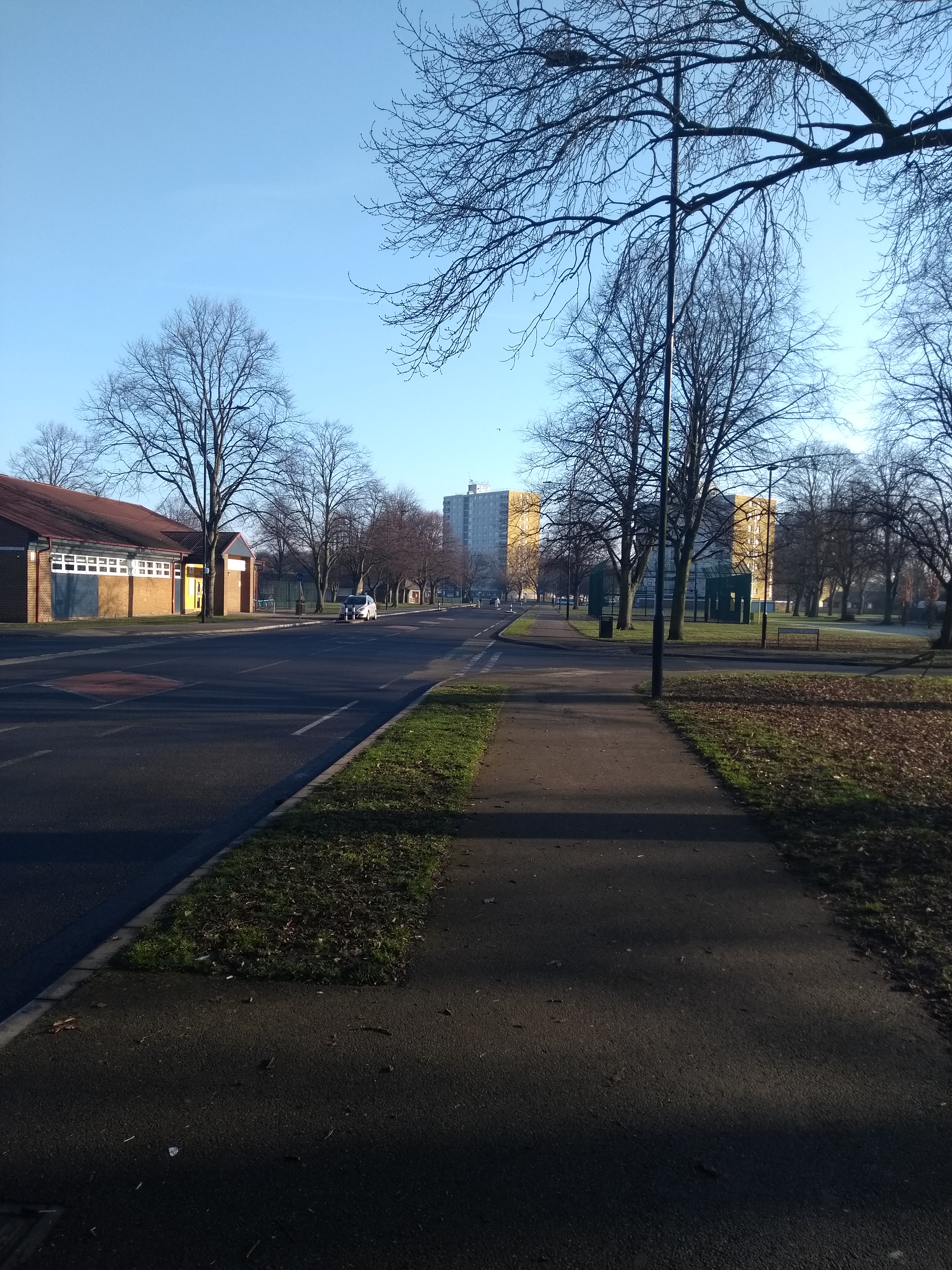
Intake, Doncaster
Intake is a suburb of Doncaster in South Yorkshire, England. The area borders Town Fields, a large area of public land based on Town Moor Avenue. It contains...

Belle Vue (Doncaster)
Belle Vue was a football stadium in Doncaster, South Yorkshire, England, that served as the home ground of Doncaster Rovers from 1922 to 2007. The ground...

Belle Vue, South Yorkshire
Belle Vue is an inner suburb of Doncaster, South Yorkshire, England. It was the location of the home ground of Doncaster Rovers F.C. and the Doncaster...
Intake Ground
The Intake Ground was a football ground in Doncaster in England. It was the home ground of Doncaster Rovers between 1885 and 1919, and is still used today...
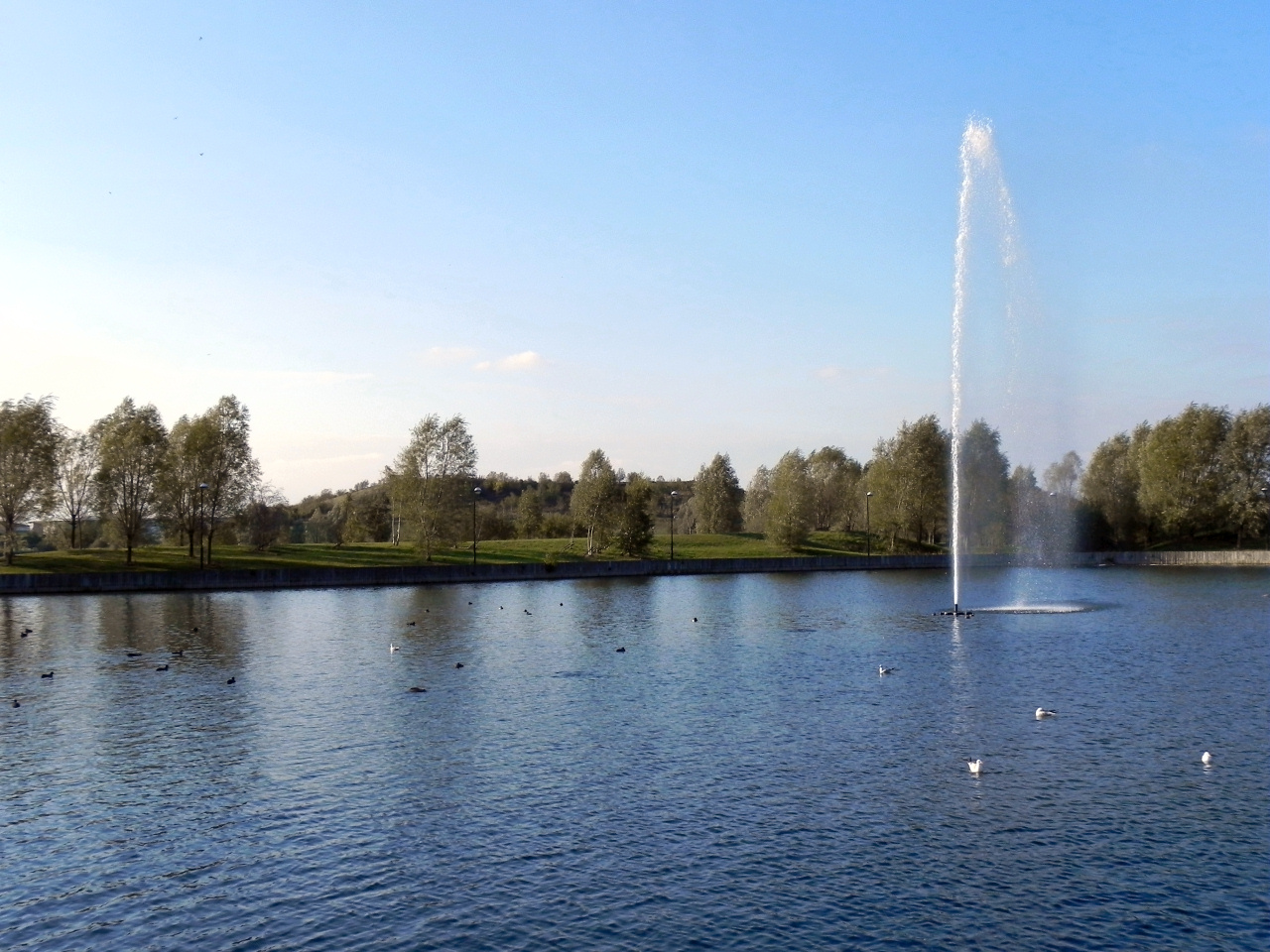
Lakeside, South Yorkshire
Lakeside is a suburb of Doncaster, South Yorkshire, England, centred around a circular lake. Approximately 2 miles (3.2 km) south-east of central Doncaster...
South Yorkshire Aircraft Museum
The South Yorkshire Aircraft Museum (SYAM) is a Volunteer led museum located at Lakeside in Doncaster, South Yorkshire, England. It occupies the former...
Nearby Amenities
Located within 500m of 53.521053,-1.0914808Have you been to Doncaster Common?
Leave your review of Doncaster Common below (or comments, questions and feedback).