Redhouse Plantation
Wood, Forest in Yorkshire
England
Redhouse Plantation

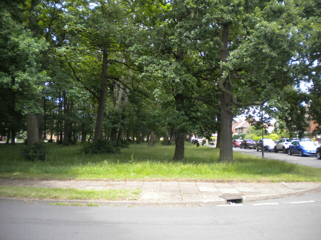
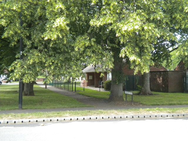
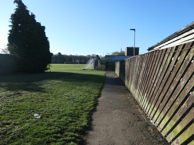
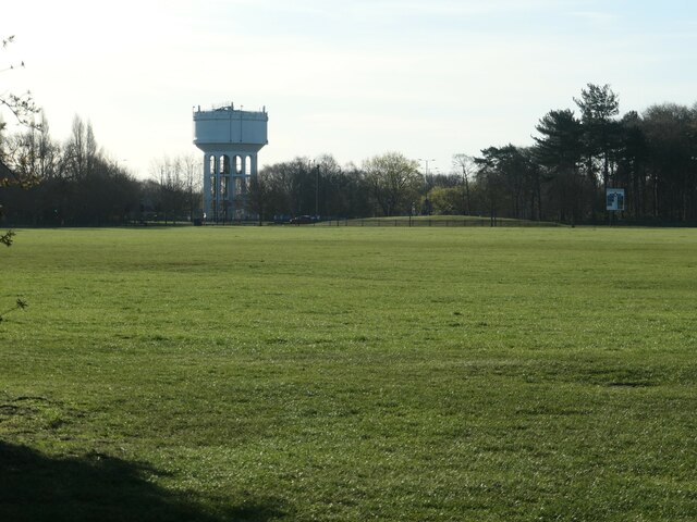
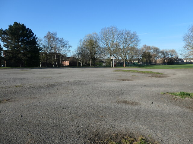
Redhouse Plantation is a picturesque woodland located in Yorkshire, England. Covering an area of approximately 100 acres, the plantation is a popular destination for nature lovers and outdoor enthusiasts. The woodland is home to a diverse range of plant and animal species, including oak, beech, and chestnut trees, as well as a variety of birdlife and small mammals.
Visitors to Redhouse Plantation can enjoy scenic walking trails that wind through the forest, offering opportunities to spot wildlife and admire the natural beauty of the surroundings. The woodland is also a popular spot for picnics and family outings, with designated areas for visitors to relax and enjoy the peaceful atmosphere.
Managed by the local council, Redhouse Plantation is well-maintained and offers a safe and welcoming environment for visitors of all ages. The woodland is easily accessible by car or public transportation, making it a convenient destination for those looking to escape the hustle and bustle of city life and immerse themselves in the tranquility of nature.
If you have any feedback on the listing, please let us know in the comments section below.
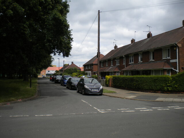
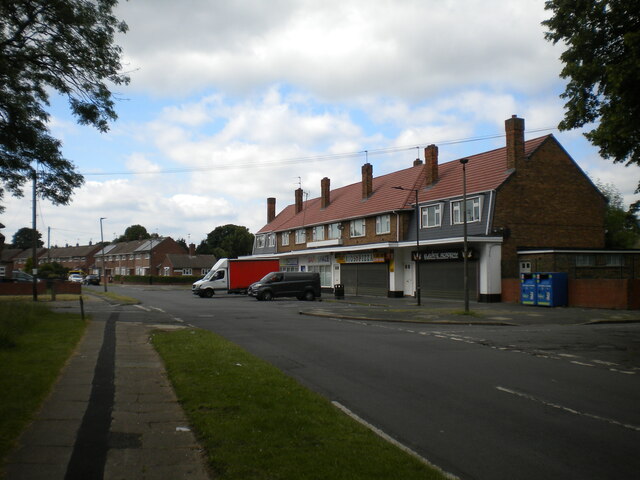
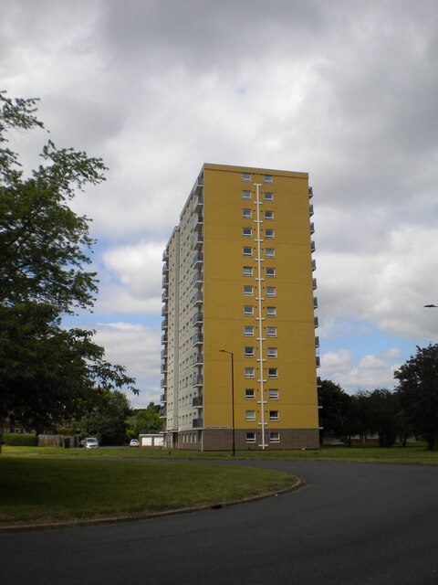
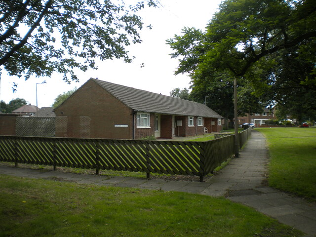
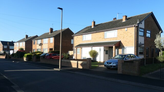
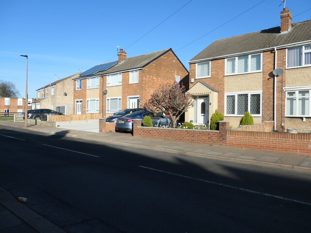
Redhouse Plantation Images
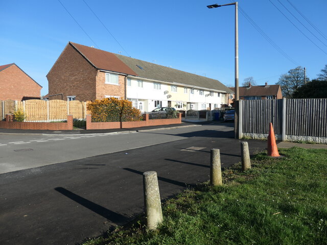
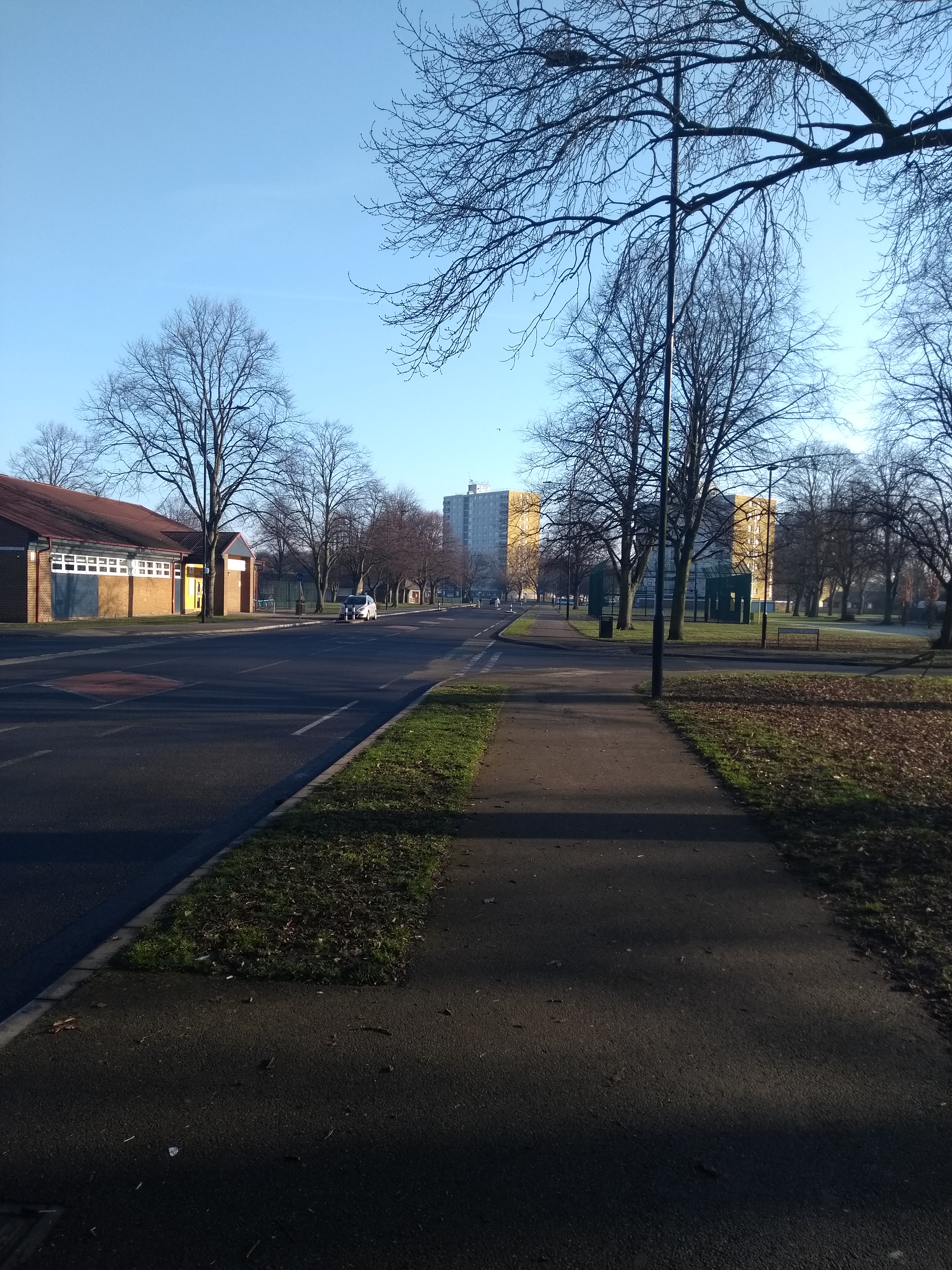
Images are sourced within 2km of 53.520461/-1.083409 or Grid Reference SE6003. Thanks to Geograph Open Source API. All images are credited.


Redhouse Plantation is located at Grid Ref: SE6003 (Lat: 53.520461, Lng: -1.083409)
Division: West Riding
Unitary Authority: Doncaster
Police Authority: South Yorkshire
What 3 Words
///impact.silly.found. Near Armthorpe, South Yorkshire
Nearby Locations
Related Wikis
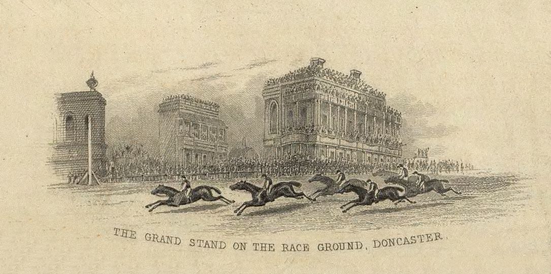
Doncaster Racecourse
Doncaster Racecourse (also known as the Town Moor course) is a racecourse in Doncaster, South Yorkshire, England. It hosts two of Great Britain's 36 annual...
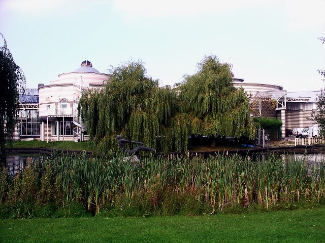
Dome Leisure Centre
The Dome Leisure Centre is an arena and leisure centre in Doncaster, England, commonly referred to as The Dome or Doncaster Dome. It has a swimming complex...
Intake, Doncaster
Intake is a suburb of Doncaster in South Yorkshire, England. The area borders Town Fields, a large area of public land based on Town Moor Avenue. It contains...

Belle Vue, South Yorkshire
Belle Vue is an inner suburb of Doncaster, South Yorkshire, England. It was the location of the home ground of Doncaster Rovers F.C. and the Doncaster...
Nearby Amenities
Located within 500m of 53.520461,-1.083409Have you been to Redhouse Plantation?
Leave your review of Redhouse Plantation below (or comments, questions and feedback).