Victory Park
Urban Greenspace in Hampshire New Forest
England
Victory Park
Victory Park is a beautiful urban greenspace located in Hampshire, England. With its vast array of amenities and natural beauty, it serves as a popular recreational destination for locals and visitors alike.
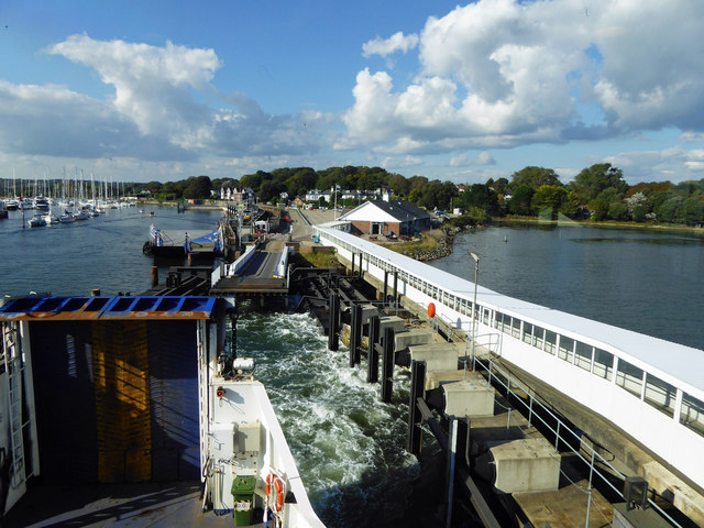
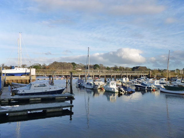
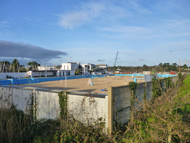
Covering an area of approximately 20 acres, Victory Park offers a wide range of facilities for outdoor activities. It features well-maintained sports fields, including soccer and cricket pitches, where local teams often gather for friendly matches. The park also boasts a state-of-the-art skate park, providing a thrilling experience for skateboarders and BMX riders.
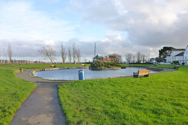
For those seeking a peaceful retreat, Victory Park offers serene walking trails that wind their way through lush greenery and picturesque landscapes. The park is home to a diverse range of flora and fauna, including several species of birds, butterflies, and wildflowers, making it a haven for nature enthusiasts.
Families visiting Victory Park can enjoy the well-equipped children's play area, complete with swings, slides, and climbing frames. Additionally, there are picnic spots scattered throughout the park, allowing visitors to relax and enjoy a meal amidst the tranquil surroundings.
The park is easily accessible, with ample parking available for visitors. It also has well-maintained restroom facilities and is wheelchair-friendly, ensuring accessibility for all.
Overall, Victory Park in Hampshire is a vibrant greenspace that offers something for everyone. Whether you are looking to engage in sports activities, immerse yourself in nature, or simply spend quality time with loved ones, this urban oasis provides a perfect setting for relaxation and recreation.
If you have any feedback on the listing, please let us know in the comments section below.
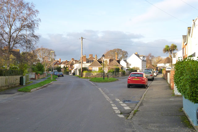
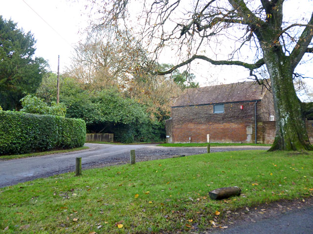
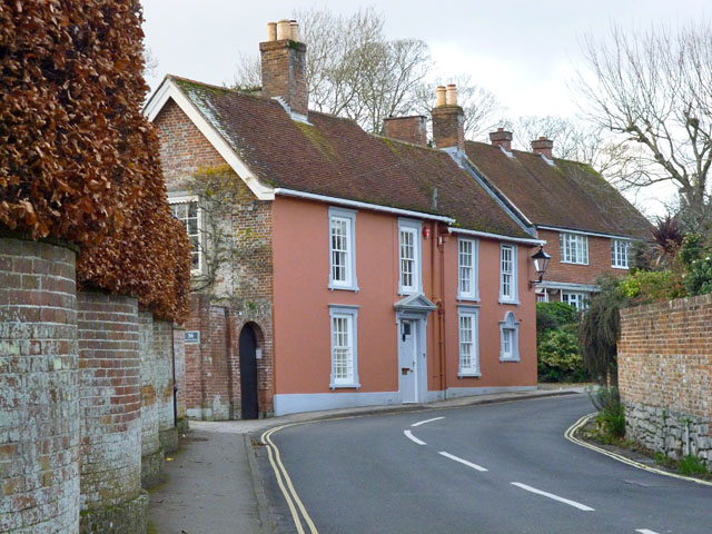
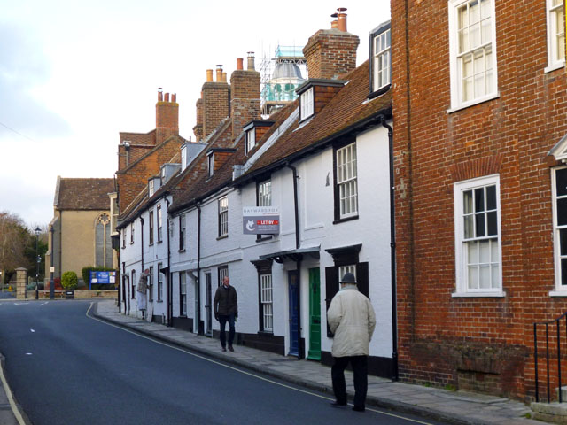
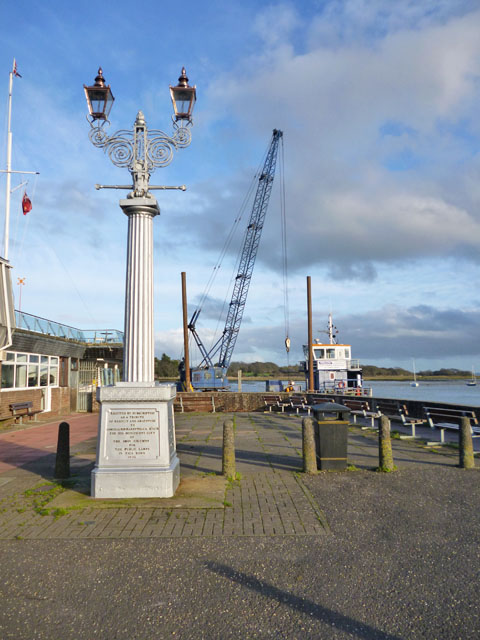
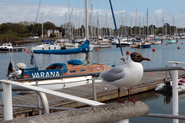
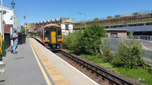
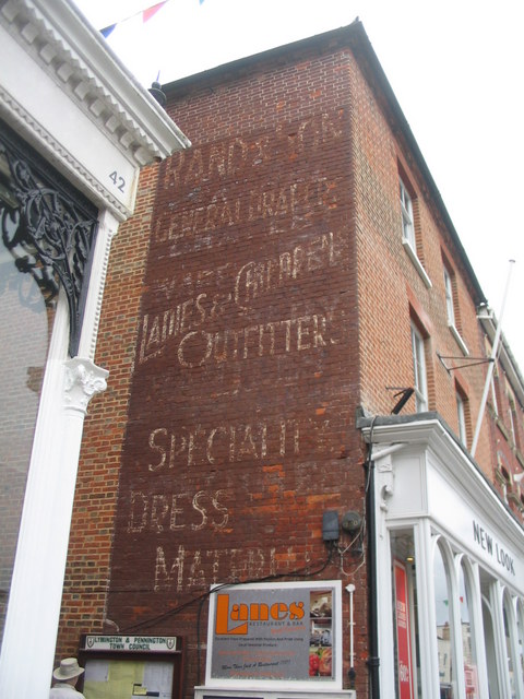
Victory Park Images
Images are sourced within 2km of 50.762432/-1.5490854 or Grid Reference SZ3195. Thanks to Geograph Open Source API. All images are credited.


Victory Park is located at Grid Ref: SZ3195 (Lat: 50.762432, Lng: -1.5490854)
Administrative County: Hampshire
District: New Forest
Police Authority: Hampshire
What 3 Words
///miles.firepower.clinking. Near Lymington, Hampshire
Nearby Locations
Related Wikis
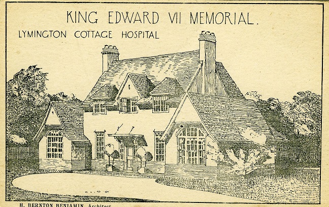
Lymington Hospital
Lymington Hospital was a consultant-led community hospital in Lymington, Hampshire. It was administered by New Forest Primary Care Trust before it was...

Lymington Town F.C.
Lymington Town Football Club is a football club based in the coastal town of Lymington, Hampshire, England. Known as "The Linnets", they are currently...

St Barbe Museum & Art Gallery
St Barbe Museum + Art Gallery is a local museum and art gallery in Lymington, Hampshire, England.Enclosed in the building is a small cafe called 'The Old...

Church of St Thomas the Apostle, Lymington
The Church of St Thomas the Apostle in Lymington in Hampshire, is the main Anglican Church of England parish church for the town. There has been a church...

Lymington New Forest Hospital
Lymington New Forest Hospital is a community hospital in Lymington, Hampshire. It is managed by the Southern Health NHS Foundation Trust. == History... ==

Lymington Town railway station
Lymington Town railway station serves the town of Lymington in Hampshire, England. It is 97 miles 57 chains (157.3 km) down the line from London Waterloo...
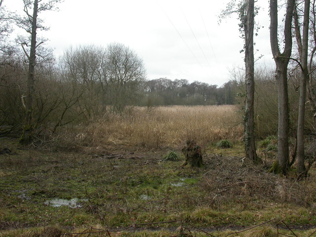
Lymington River Reedbeds
Lymington River Reedbeds is a 41.7-hectare (103-acre) biological Site of Special Scientific Interest in Lymington in Hampshire. It is a nature reserve...
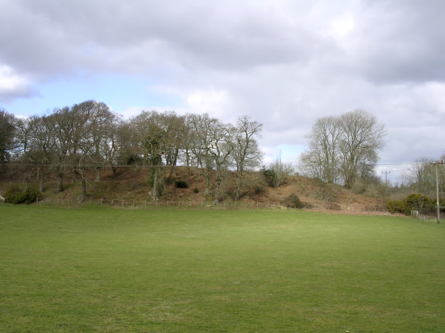
Buckland Rings
Buckland Rings is the site of an Iron Age hill fort in the town of Lymington, Hampshire. Today, the mounds and dykes around the outside which once constituted...
Nearby Amenities
Located within 500m of 50.762432,-1.5490854Have you been to Victory Park?
Leave your review of Victory Park below (or comments, questions and feedback).