Skirlington Sands
Beach in Yorkshire
England
Skirlington Sands
Skirlington Sands is a picturesque beach located on the east coast of Yorkshire, England. It stretches along the coastline for approximately two miles and is a popular destination for both locals and tourists alike. The beach is situated near the village of Skipsea and offers stunning views of the North Sea.
One of the notable features of Skirlington Sands is its vast expanse of golden sand, which is perfect for long walks, sunbathing, and building sandcastles. The beach is also backed by low dunes, providing a natural barrier from the wind and creating a sense of tranquility.
Skirlington Sands is renowned for its clean and well-maintained environment. It has been awarded the Blue Flag status, indicating its excellent water quality and high standards of safety. Lifeguards are on duty during the summer months to ensure the welfare of visitors who wish to swim or engage in water sports.
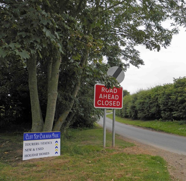
In addition to its natural beauty, the beach offers a range of amenities for visitors. There is a large car park nearby, making it easily accessible by road. Facilities such as public toilets, cafes, and ice cream stands can be found close to the beach, allowing visitors to enjoy a comfortable day out.
Skirlington Sands is also a popular spot for birdwatching enthusiasts. The beach is a designated nature reserve and attracts a variety of bird species, including waders, gulls, and terns. Bird hides are available for those who wish to observe the wildlife in a peaceful setting.
Overall, Skirlington Sands is a stunning beach that offers a combination of natural beauty, recreational activities, and amenities, making it an ideal destination for a day out by the sea.
If you have any feedback on the listing, please let us know in the comments section below.
Skirlington Sands Images
Images are sourced within 2km of 53.95861/-0.18752203 or Grid Reference TA1952. Thanks to Geograph Open Source API. All images are credited.


Skirlington Sands is located at Grid Ref: TA1952 (Lat: 53.95861, Lng: -0.18752203)
Division: East Riding
Unitary Authority: East Riding of Yorkshire
Police Authority: Humberside
What 3 Words
///daunting.letter.squeaking. Near Atwick, East Yorkshire
Nearby Locations
Related Wikis

Skirlington
Skirlington is a hamlet in the Holderness area of the East Riding of Yorkshire, England. It is situated approximately 3.5 miles (5.6 km) north of Hornsea...

Atwick
Atwick is a village and civil parish in Holderness in the East Riding of Yorkshire, England. The village is near the North Sea coast, and 2 miles (3.2...

Skipsea
Skipsea is a village and civil parish on the North Sea coast of the East Riding of Yorkshire, England. It is situated approximately 10 miles (16 km) south...

Church of All Saints, Skipsea
The Church of All Saints, is the church for the village and parish of Skipsea, in the East Riding of Yorkshire, England. The church dates back to the late...
Related Videos
FAR GRANGE Westview a holiday home or lodge owners community
DONT CLICK THIS! https://bit.ly/2V7a6R1 FAR GRANGE Westview a holiday home or lodge owners community Check out one of ...

2018 ABI Beaumont 42x14 Walk through caravan holiday home static caravan
CLICK THIS! https://bit.ly/2V7a6R1 Check out our video of this amazing 2018 ABI Beaumont Three bed Caravan, finished in ...

2019 Willerby Vogue Holiday Home | Caravan for sale | Static
2019 Willerby Vogue Sneek Peek Holiday Home. Why not consider this beautiful holiday home for your leisure time home from ...

TRAVEL DAY : Caravan Holiday - Cliff Top - The Kids Have A Blast!
Welcome to Day 1 of our camping trip at #cliff top caravan park, we can also use #Skirlington Caravan Park we are planning to go ...
Nearby Amenities
Located within 500m of 53.95861,-0.18752203Have you been to Skirlington Sands?
Leave your review of Skirlington Sands below (or comments, questions and feedback).