Skipsea Sands
Beach in Yorkshire
England
Skipsea Sands
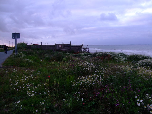
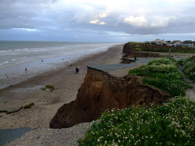
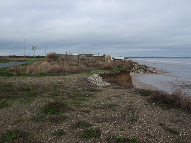
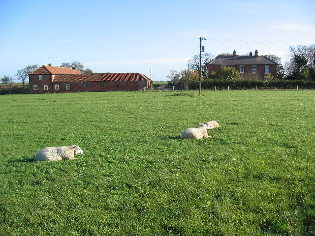
Skipsea Sands is a popular beach located on the east coast of England in the county of Yorkshire. Stretching for approximately 2 miles, it is known for its breathtaking views, sandy shores, and peaceful atmosphere. This picturesque beach is situated near the village of Skipsea, which adds to its charm with its traditional English countryside setting.
The beach at Skipsea Sands is a favorite destination for locals and tourists alike, offering a wide range of activities for visitors of all ages. The sandy shoreline provides ample space for sunbathing, picnicking, and building sandcastles, making it an ideal spot for families. The beach is also well-known for its excellent fishing opportunities, with anglers often seen casting their lines into the sea in search of a catch.
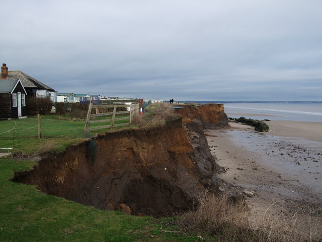
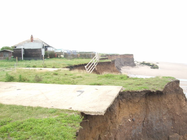
The beach is backed by beautifully rugged cliffs, which not only enhance its natural beauty but also provide a scenic backdrop for long walks and hikes. Nature enthusiasts can explore the nearby Skipsea Castle, a historic site that offers panoramic views of the beach and surrounding area.
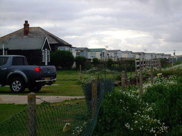
Facilities at Skipsea Sands are well-maintained and include public toilets, ample parking, and a nearby caravan park for those looking to stay overnight. The beach is easily accessible, with a paved promenade that allows visitors to take in the stunning views while enjoying a leisurely stroll.
Overall, Skipsea Sands is a hidden gem on the Yorkshire coast, offering a tranquil and picturesque setting for beach lovers and nature enthusiasts to enjoy.
If you have any feedback on the listing, please let us know in the comments section below.
Skipsea Sands Images
Images are sourced within 2km of 53.97671/-0.19680076 or Grid Reference TA1854. Thanks to Geograph Open Source API. All images are credited.


Skipsea Sands is located at Grid Ref: TA1854 (Lat: 53.97671, Lng: -0.19680076)
Division: East Riding
Unitary Authority: East Riding of Yorkshire
Police Authority: Humberside
What 3 Words
///applause.form.clouding. Near Skipsea, East Yorkshire
Nearby Locations
Related Wikis

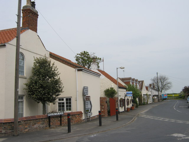
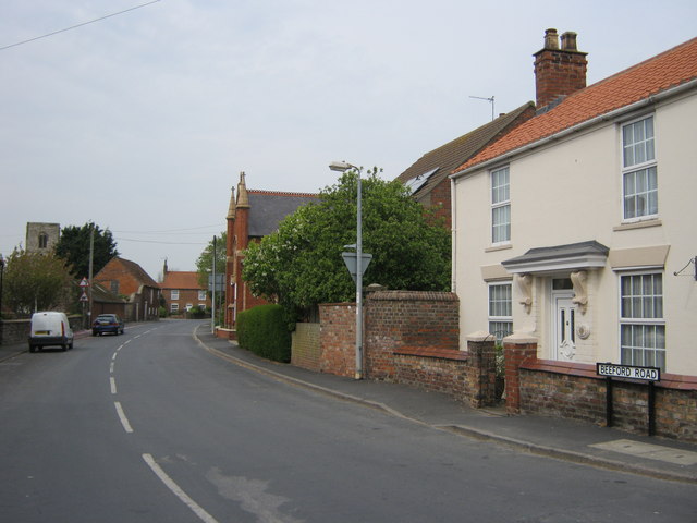
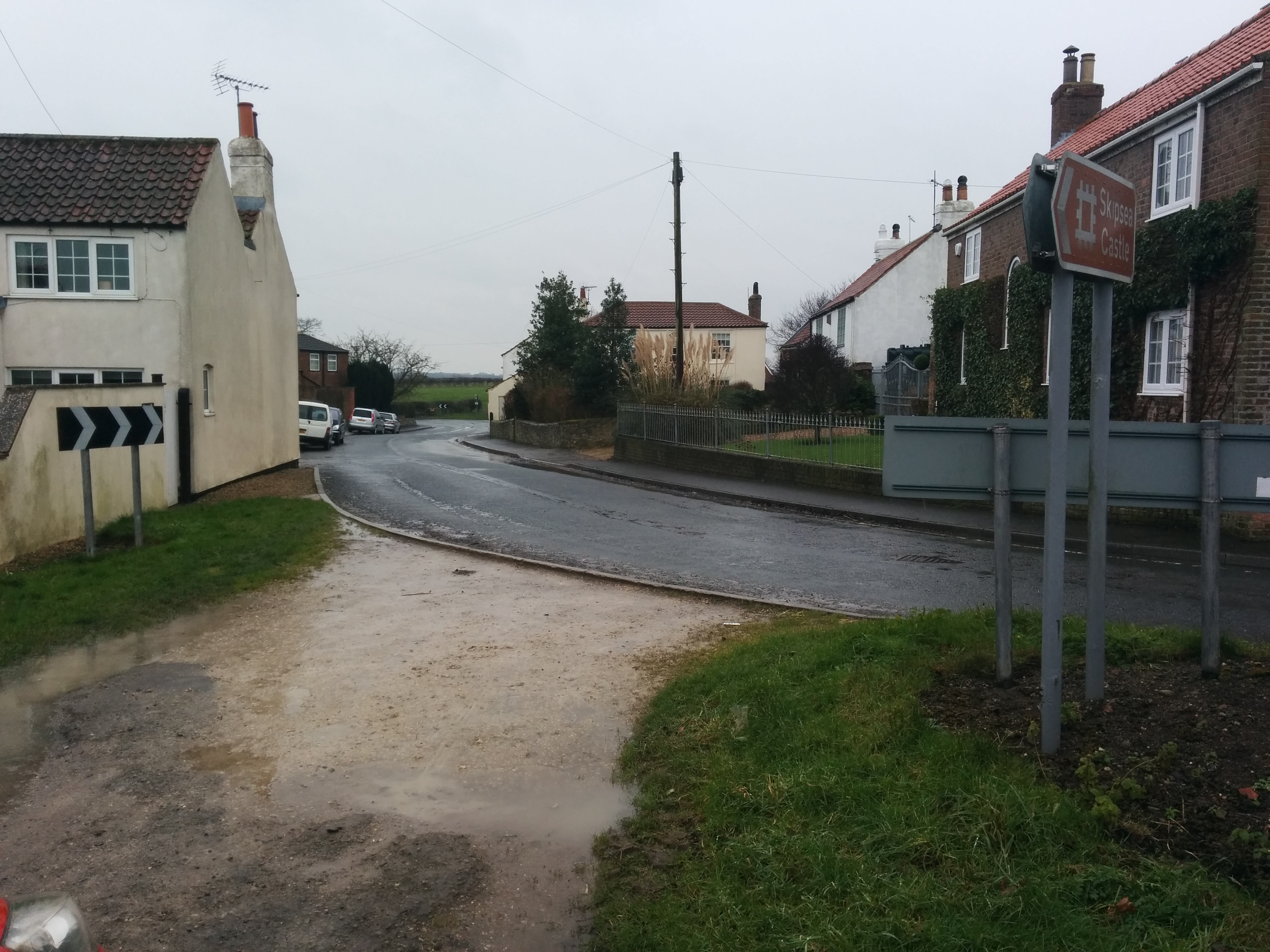
Skipsea
Skipsea is a village and civil parish on the North Sea coast of the East Riding of Yorkshire, England. It is situated approximately 10 miles (16 km) south...

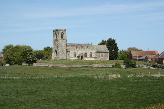
Church of All Saints, Skipsea
The Church of All Saints, is the church for the village and parish of Skipsea, in the East Riding of Yorkshire, England. The church dates back to the late...

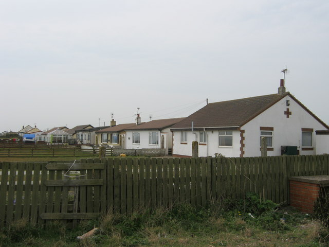
Skirlington
Skirlington is a hamlet in the Holderness area of the East Riding of Yorkshire, England. It is situated approximately 3.5 miles (5.6 km) north of Hornsea...
Skipsea Brough
Skipsea Brough is a hamlet in the East Riding of Yorkshire, England. It is situated approximately 5 miles (8 km) north of Hornsea on the B1249 road. It...
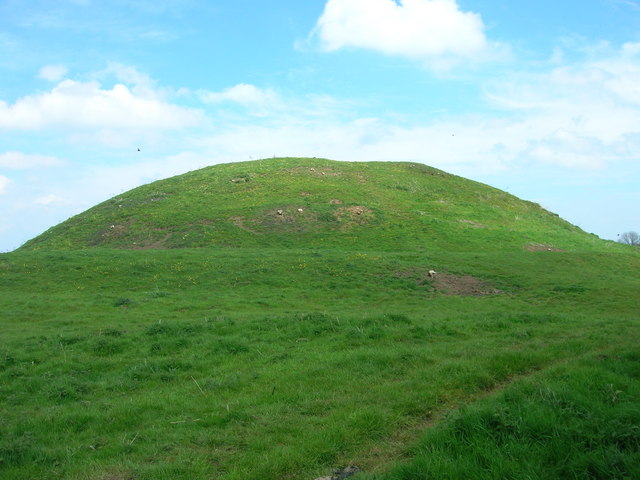
Skipsea Castle
Skipsea Castle was a Norman motte and bailey castle near the village of Skipsea, East Riding of Yorkshire, England. Built around 1086 by Drogo de la Beuvrière...

Ulrome
Ulrome is a village and civil parish in the East Riding of Yorkshire, England. It is situated approximately 6 miles (9.7 km) north of the town of Hornsea...
Dringhoe
Dringhoe is a hamlet in the East Riding of Yorkshire, England. It is situated approximately 5.5 miles (9 km) north of Hornsea on the B1249 road to the...

Atwick
Atwick is a village and civil parish in Holderness in the East Riding of Yorkshire, England. The village is near the North Sea coast, and 2 miles (3.2...
Nearby Amenities
Located within 500m of 53.97671,-0.19680076Have you been to Skipsea Sands?
Leave your review of Skipsea Sands below (or comments, questions and feedback).