Ayre of Whalegeo
Beach in Shetland
Scotland
Ayre of Whalegeo
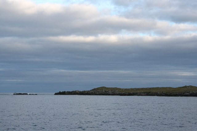
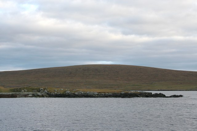
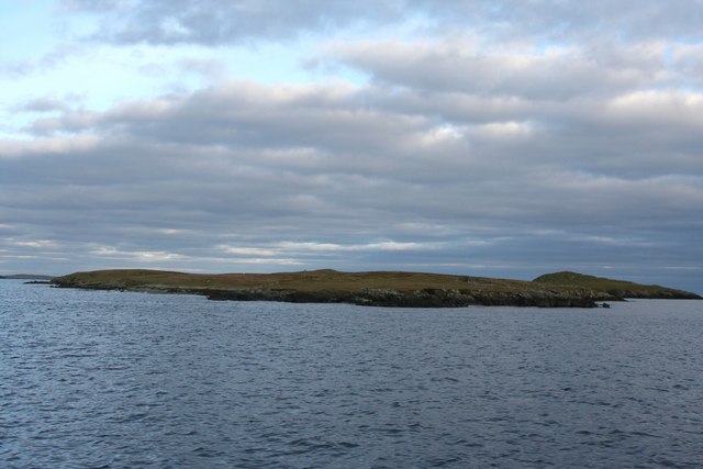
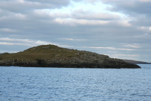
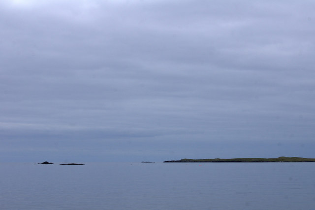
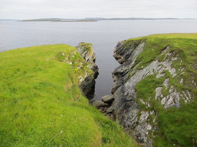
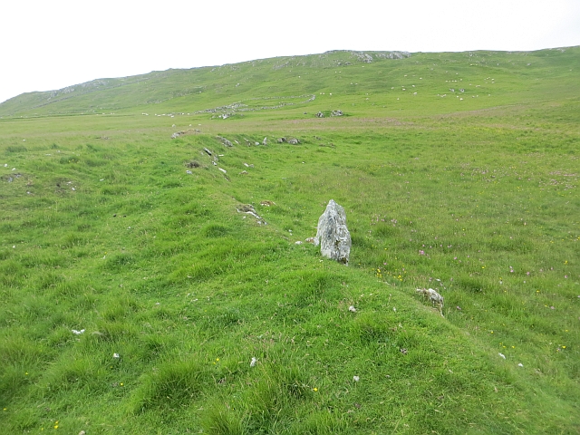
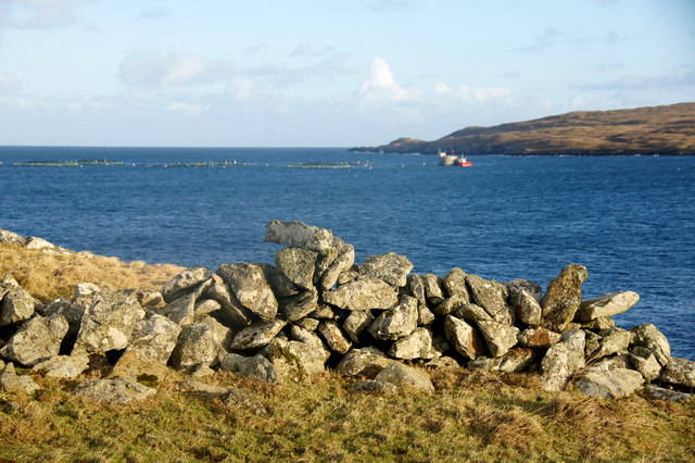
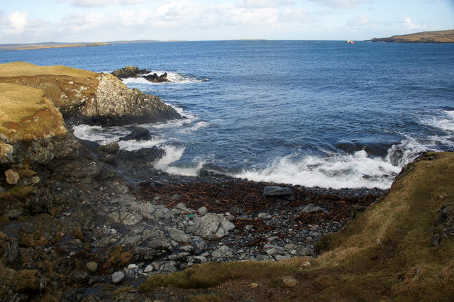
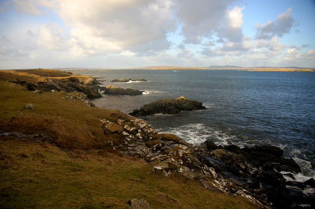
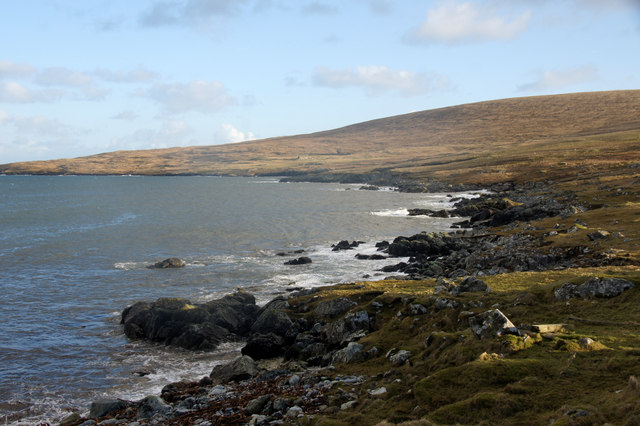
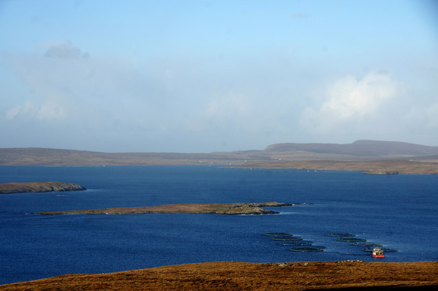
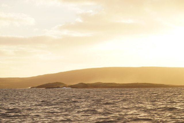
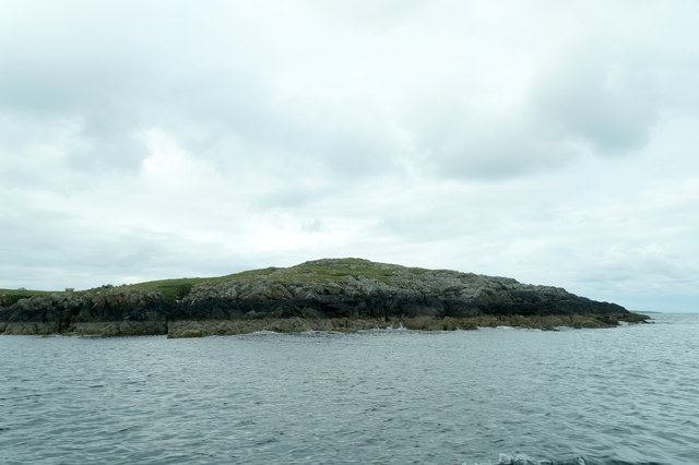
Ayre of Whalegeo is a picturesque beach located in the Shetland Islands, Scotland. Situated on the east coast of the mainland, this beautiful stretch of sand offers stunning views of the North Sea and the surrounding rugged cliffs.
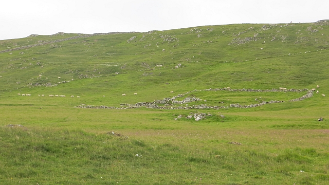
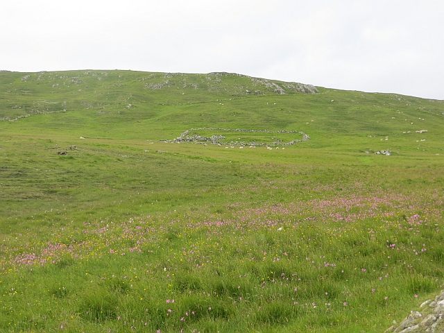
The beach itself is relatively small, measuring around 200 meters in length, but its natural charm and tranquility make it a popular spot for locals and visitors alike. The sand is soft and golden, with occasional patches of pebbles scattered along the shore. At low tide, the beach extends further, revealing fascinating rock formations and rock pools that provide a haven for various marine creatures.
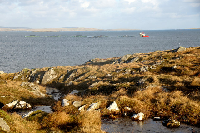
The crystal-clear waters of Ayre of Whalegeo are perfect for swimming, although the temperature can be quite chilly even during the summer months. The beach is also a great place for beachcombing, with shells, driftwood, and even the occasional piece of sea glass waiting to be discovered.
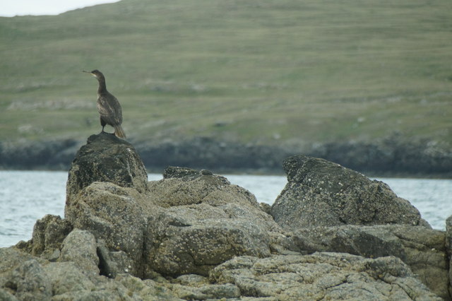
Ayre of Whalegeo is surrounded by an incredible natural landscape, with steep cliffs providing a dramatic backdrop. The area is rich in wildlife, and visitors may spot seabirds such as puffins, guillemots, and kittiwakes nesting along the cliffs. Grey seals can often be seen lounging on the rocks, and if you're lucky, you might even catch a glimpse of an otter or a porpoise swimming offshore.
The beach is easily accessible by car, with a small parking area nearby. It offers a peaceful and idyllic setting for those seeking a quiet escape or a leisurely stroll along the shore. With its breathtaking views and abundant wildlife, Ayre of Whalegeo is undoubtedly a hidden gem in the Shetland Islands.
If you have any feedback on the listing, please let us know in the comments section below.
Ayre of Whalegeo Images
Images are sourced within 2km of 60.627235/-0.92463005 or Grid Reference HU5894. Thanks to Geograph Open Source API. All images are credited.
Ayre of Whalegeo is located at Grid Ref: HU5894 (Lat: 60.627235, Lng: -0.92463005)
Unitary Authority: Shetland Islands
Police Authority: Highlands and Islands
What 3 Words
///splashes.loaning.harshest. Near Houbie, Shetland Islands
Nearby Locations
Related Wikis

Hamars Ness
Hamars Ness is a headland on the island of Fetlar in Shetland, Scotland. The name is from the Old Norse Hamarsnes meaning "craggy headland". A ro-ro ferry...

Urie Lingey
For other islands with similar names, see Linga (disambiguation) Urie Lingey is one of the Shetland Islands. It is between Fetlar and Unst, and Yell is...

Brough Lodge
Brough Lodge is a 19th-century Gothic mansion on Fetlar, one of the Shetland Islands, in northern Scotland. Built by the Nicolson family, who were responsible...

Sound Gruney
For other islands with similar names, see Gruney (disambiguation) Sound Gruney is one of the Shetland islands. It lies about 1.5 kilometres (0.93 mi)...
Nearby Amenities
Located within 500m of 60.627235,-0.92463005Have you been to Ayre of Whalegeo?
Leave your review of Ayre of Whalegeo below (or comments, questions and feedback).