Djubamel

Coastal Feature, Headland, Point in Shetland

Scotland

Djubamel

South West corner of Daaey
South West corner of Daaey Credit: john bateson

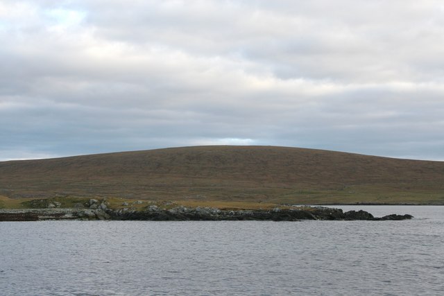
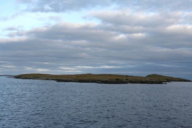
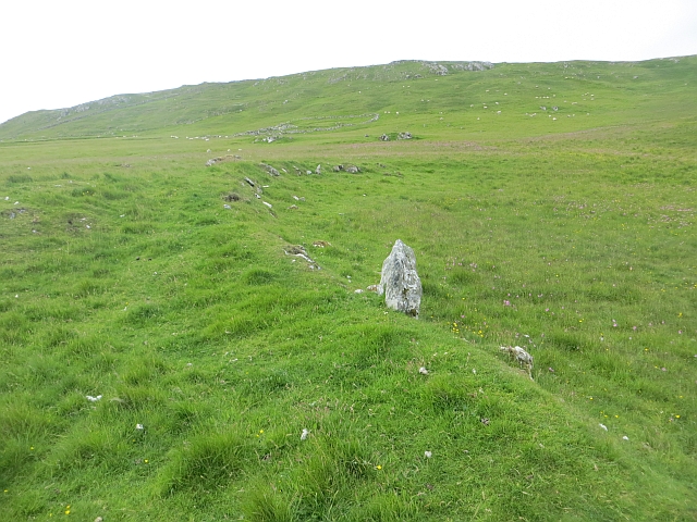
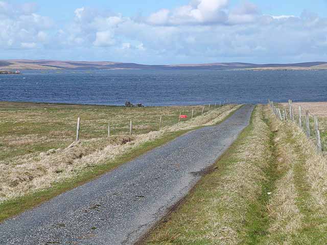
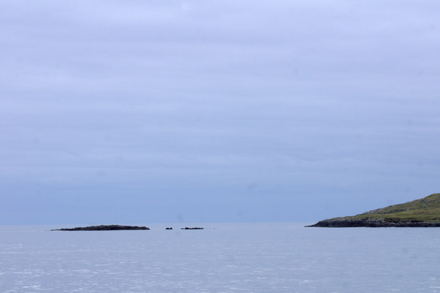
Djubamel is a prominent coastal feature located in the Shetland Islands, which are part of Scotland. It is a headland or point that juts out into the North Sea, offering breathtaking views of the surrounding landscape. Djubamel is situated on the mainland of Shetland, in the western part of the island.

The headland is characterized by its rugged and dramatic cliffs that rise steeply from the sea, providing a striking visual presence. The cliffs are composed of various rock formations, including sandstone and shale, which have been shaped over centuries by the powerful forces of erosion. The constant battering of the waves has created caves, arches, and stacks along the coastline, adding to the area's natural beauty.

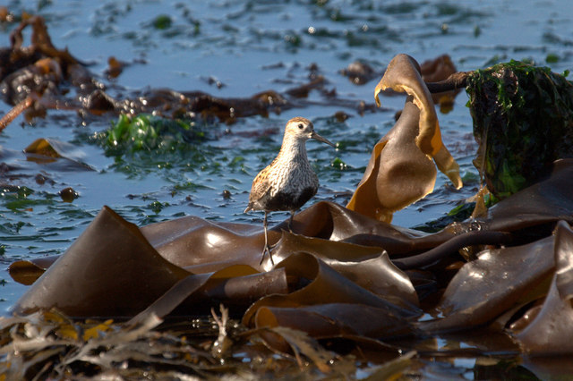
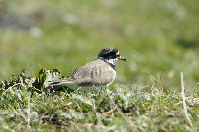
Djubamel is known for its diverse wildlife, with numerous seabird colonies inhabiting the cliffs. Visitors can spot a variety of bird species, including puffins, guillemots, and razorbills, nesting and flying around the area. The headland also provides an excellent vantage point for observing seals and dolphins that frequent the surrounding waters.

The coastal feature is a popular destination for outdoor enthusiasts and nature lovers. Hikers can explore the coastal paths that lead to Djubamel, offering panoramic vistas of the sea and the neighboring islands. Photographers are particularly drawn to the area, captivated by the stunning cliffs, changing light conditions, and the opportunity to capture wildlife in their natural habitat.

Djubamel is a true gem of the Shetland Islands, offering visitors a chance to immerse themselves in the beauty of Scotland's coastal landscapes and experience the rich biodiversity that thrives in this unique ecosystem.

If you have any feedback on the listing, please let us know in the comments section below.
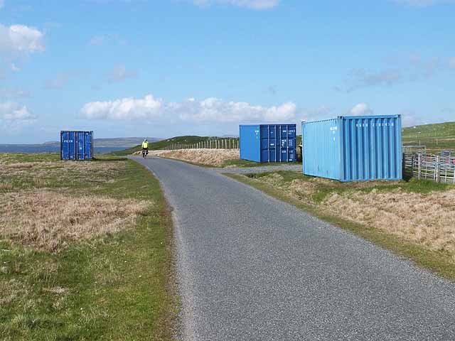
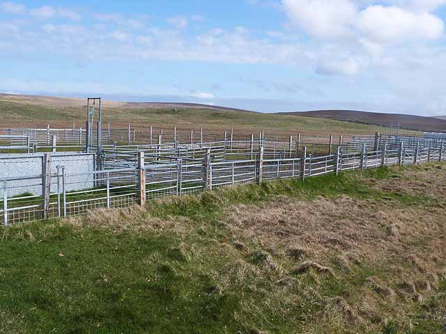
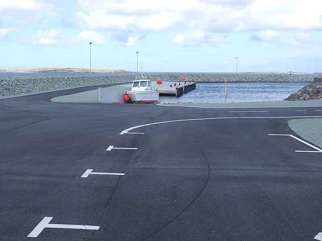
Djubamel Images

Images are sourced within 2km of 60.629657/-0.93668591 or Grid Reference HU5894. Thanks to Geograph Open Source API. All images are credited.

South West corner of Daaey
Daaey from the  South West
Daaey from the South West
Uriesetter Ruined farm on the north side of Fetlar. Fetlar suffered badly from clearances.
Uriesetter
Ruined farm on the north side of Fetlar. Fetlar suffered badly from clearances.
Uriesetter Pasture and ruins on a cleared area of Fetlar.
Uriesetter
Pasture and ruins on a cleared area of Fetlar.
Old boundary, Uriesetter A grassed over ruined dyke on the north coast of Fetlar which was cleared.
Old boundary, Uriesetter
A grassed over ruined dyke on the north coast of Fetlar which was cleared.
Road west of Brough Lodge The B9088 drops down to the pier at Ugasta on the west coast of Fetlar.
Road west of Brough Lodge
The B9088 drops down to the pier at Ugasta on the west coast of Fetlar.
Shetland ponies below Sugil
The Tower at Brough Lodge A Victorian folly overlooking the west coast of Fetlar.
The Tower at Brough Lodge
A Victorian folly overlooking the west coast of Fetlar.
Three roadside containers Purpose unknown, these containers stand by the road to the Fetlar ferry terminal.
Three roadside containers
Purpose unknown, these containers stand by the road to the Fetlar ferry terminal.
Roadside livestock pens By the road from the Fetlar ferry terminal.
Roadside livestock pens
By the road from the Fetlar ferry terminal.
New harbour construction at Hamar Ness New pier and breakwater adjacent to the present Fetlar ferry terminal part financed by the Shetland Islands Council and the European Regional Development Fund.
New harbour construction at Hamar Ness
New pier and breakwater adjacent to the present Fetlar ferry terminal part financed by the Shetland Islands Council and the European Regional Development Fund.
Approaching the ferry landing on Fetlar Seen from the ferry from Unst. The new breakwater under construction can be seen on the right.
Approaching the ferry landing on Fetlar
Seen from the ferry from Unst. The new breakwater under construction can be seen on the right.
Dunlin (Calidris alpina) on the beach at Ugasta by Brough Lodge Dunlin breed quite commonly on moorland in Shetland. This is either a local bird feeding on the shore or a late migrant still heading north.
Dunlin (Calidris alpina) on the beach at Ugasta by Brough Lodge
Dunlin breed quite commonly on moorland in Shetland. This is either a local bird feeding on the shore or a late migrant still heading north.
Ringed Plover (Charadrius hiaticula) at Ugasta by Brough Lodge Ringed Plovers breed quite commonly in Shetland, most often in coastal habitats.
Ringed Plover (Charadrius hiaticula) at Ugasta by Brough Lodge
Ringed Plovers breed quite commonly in Shetland, most often in coastal habitats.
North-east tip of Sound Gruney Occasionally, the Fetlar ferry passes east of Sound Gruney. In the background is North Sandwick on Yell.
North-east tip of Sound Gruney
Occasionally, the Fetlar ferry passes east of Sound Gruney. In the background is North Sandwick on Yell.
Small headland on Sound Gruney Soon, in geological terms, to become a holm. North Sandwick on Yell is in the background.
Small headland on Sound Gruney
Soon, in geological terms, to become a holm. North Sandwick on Yell is in the background.
Braga, Urie Lingey A small holm just north of the island.
Braga, Urie Lingey
A small holm just north of the island.
Braga, Urie Lingey Haaf Gruney in the background.
Braga, Urie Lingey
Haaf Gruney in the background.
Show me another place!

Djubamel is located at Grid Ref: HU5894 (Lat: 60.629657, Lng: -0.93668591)

Unitary Authority: Shetland Islands

Police Authority: Highlands and Islands

What 3 Words

///shatters.extensive.signified. Near Houbie, Shetland Islands

Related Wikis

Hamars Ness

Hamars Ness is a headland on the island of Fetlar in Shetland, Scotland. The name is from the Old Norse Hamarsnes meaning "craggy headland". A ro-ro ferry...

Urie Lingey

For other islands with similar names, see Linga (disambiguation) Urie Lingey is one of the Shetland Islands. It is between Fetlar and Unst, and Yell is...

Brough Lodge

Brough Lodge is a 19th-century Gothic mansion on Fetlar, one of the Shetland Islands, in northern Scotland. Built by the Nicolson family, who were responsible...

Sound Gruney

For other islands with similar names, see Gruney (disambiguation) Sound Gruney is one of the Shetland islands. It lies about 1.5 kilometres (0.93 mi)...

Nearby Amenities

Located within 500m of 60.629657,-0.93668591
Ferry Terminal
Lat/Long: 60.6293831/-0.9309706
Passing Place
Lat/Long: 60.628108/-0.9326629
Toilets
Lat/Long: 60.6294061/-0.9319504
Street Lamp
Lat/Long: 60.6290374/-0.931839
Street Lamp
Lat/Long: 60.6289821/-0.9322601
Power: pole
Lat/Long: 60.6281297/-0.9323701
Power: pole
Lat/Long: 60.6276718/-0.9330433
Power: pole
Lat/Long: 60.6272074/-0.9337407
Power: pole
Lat/Long: 60.6268246/-0.9343147
Power: pole
Lat/Long: 60.6266733/-0.9349879
Power: pole
Lat/Long: 60.6264825/-0.9358087
Power: pole
Lat/Long: 60.6258616/-0.9359723
Power: pole
Lat/Long: 60.6252406/-0.9361171
Passing Place
Lat/Long: 60.6274649/-0.9337169
Power: pole
Lat/Long: 60.628797/-0.9321167
The data included in this document is from www.openstreetmap.org. The data is made available under ODbL.

Have you been to Djubamel?

Leave your review of Djubamel below (or comments, questions and feedback).