South Ayre of Cunnister

Beach in Shetland

Scotland

South Ayre of Cunnister

Hill of Bixsetter, east of Sellafirth
Hill of Bixsetter, east of Sellafirth Credit: Mike Pennington

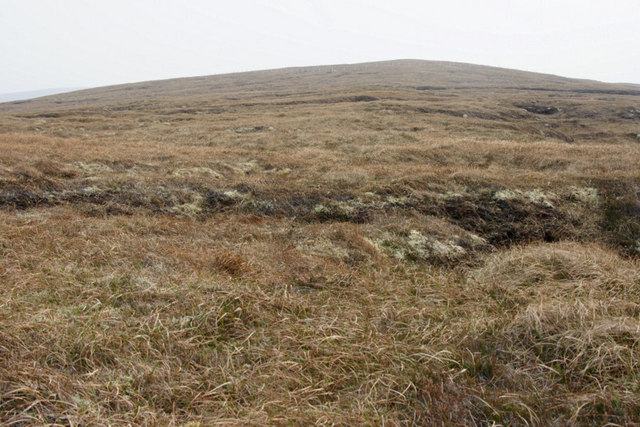
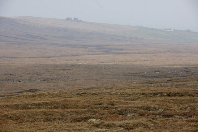
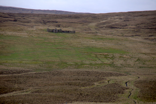
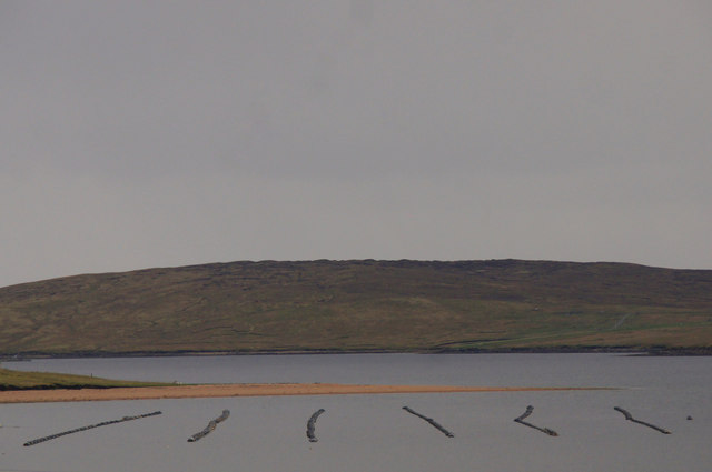
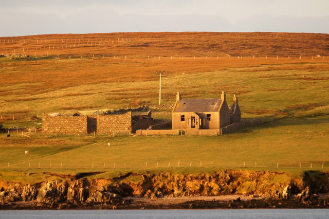
South Ayre of Cunnister is an exquisite beach located in the Shetland Islands, off the northeastern coast of Scotland. With its pristine coastline and breathtaking views, this beach offers a unique and serene experience for visitors.

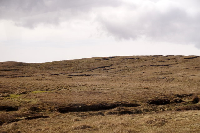
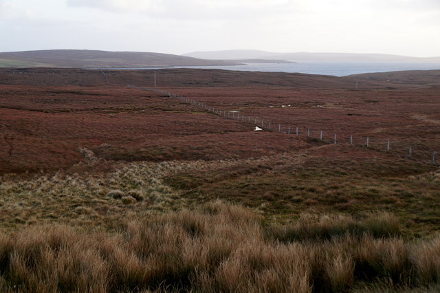
Situated on the west coast of the mainland Shetland, South Ayre of Cunnister boasts soft golden sand that stretches for approximately half a mile. The beach is surrounded by rugged cliffs and stunning rock formations, creating a picturesque backdrop against the sparkling blue waters of the North Atlantic Ocean.

The beach is a haven for nature enthusiasts, as it is home to a diverse range of wildlife. Visitors can spot various bird species, such as puffins, fulmars, and guillemots, nesting in the cliffs. Seals can also be seen basking on the rocks or swimming in the clear waters. The beach is also known for its rich marine life, making it a popular spot for snorkeling and diving.

South Ayre of Cunnister offers ample opportunities for outdoor activities. The beach is perfect for leisurely walks, picnics, and sunbathing. The surrounding cliffs provide excellent opportunities for rock climbing and scrambling. The beach is also a popular spot for fishing, with anglers trying their luck in the abundant waters.

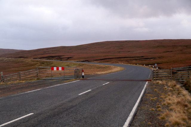
Accessible via a short walk from the car park, South Ayre of Cunnister offers a peaceful and secluded experience away from the hustle and bustle of city life. Its natural beauty and tranquil atmosphere make it an ideal destination for those seeking a peaceful retreat in the heart of nature.

If you have any feedback on the listing, please let us know in the comments section below.

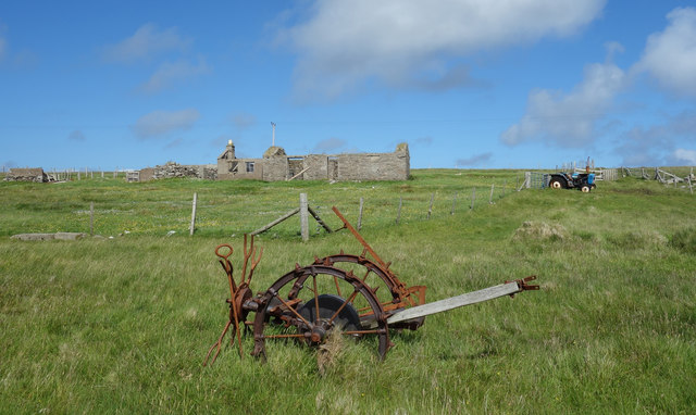
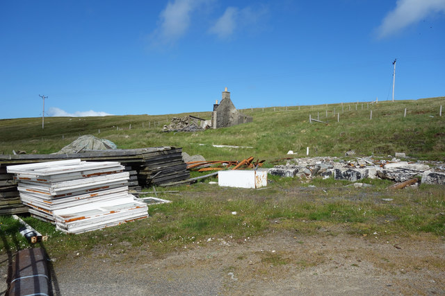
South Ayre of Cunnister Images

Images are sourced within 2km of 60.645572/-1.0381466 or Grid Reference HU5296. Thanks to Geograph Open Source API. All images are credited.

Hill of Bixsetter, east of Sellafirth
Black Park, North Sandwick Looking towards North Sandwick.
Black Park, North Sandwick
Looking towards North Sandwick.
Sellafirth: telephone box A traditional red phone box, still in working order although as is often the case these days it no longer accepts coins, just off the main road.
Sellafirth: telephone box
A traditional red phone box, still in working order although as is often the case these days it no longer accepts coins, just off the main road.
Sellafirth: postbox № ZE2 87 This postbox stands at a junction of the A968 and is emptied at 9:45 each weekday and Saturday morning. In the background is <a href="https://www.geograph.org.uk/photo/2647764">HU5297 : Sellafirth: telephone box</a>, just down the side road, despite the 1:50,000 and 1:25,000 maps suggesting it is on the corner with the postbox.
Sellafirth: postbox № ZE2 87
This postbox stands at a junction of the A968 and is emptied at 9:45 each weekday and Saturday morning. In the background is HU5297 : Sellafirth: telephone box, just down the side road, despite the 1:50,000 and 1:25,000 maps suggesting it is on the corner with the postbox.
Setter, North Sandwick Ruined crofthouse across the valley from the extant houses.
Setter, North Sandwick
Ruined crofthouse across the valley from the extant houses.
Basta Voe from Colvister Looking east towards the sun poking through clouds (more than two hours after sunrise despite the appearance). There are mussel lines in Basta Voe. In the background is the north end of Hascosay on the far right, with Fetlar beyond that.
Basta Voe from Colvister
Looking east towards the sun poking through clouds (more than two hours after sunrise despite the appearance). There are mussel lines in Basta Voe. In the background is the north end of Hascosay on the far right, with Fetlar beyond that.
Basta Voe from south of Colvister Mussel lines in the voe in the foreground, and Burra Ness and some of the islands noth of Fetlar in the distance.
Basta Voe from south of Colvister
Mussel lines in the voe in the foreground, and Burra Ness and some of the islands noth of Fetlar in the distance.
Colvister beside Basta Voe
North Ayre of Cunnister Mussel ropes in Basta Voe in the foreground.
North Ayre of Cunnister
Mussel ropes in Basta Voe in the foreground.
A968  at Sellafirth
A968 at Sellafirth
The Main Road at Colvister The A968 about to cross the South Burn of Colvister.
The Main Road at Colvister
The A968 about to cross the South Burn of Colvister.
Ruined croft house at Sellafirth
Hill of Colvister
Hill of Colvister
Fence across moorland, Colvister
Cattle grid between Colvister and Basta
Kirkabister, Burraness, from the sea
Derelict House and Rusty Machine at Cunnister
Remains of the Motel Still marked as a motel on some maps, but already in a pretty desperate state by 2008 when this was taken  <a href="https://www.geograph.org.uk/photo/693160">HU5296 : North Isles Motel</a>
the place has since been demolished, but the site hasn't been cleared. Other people have started tipping on it and it's a mess.
Remains of the Motel
Still marked as a motel on some maps, but already in a pretty desperate state by 2008 when this was taken HU5296 : North Isles Motel the place has since been demolished, but the site hasn't been cleared. Other people have started tipping on it and it's a mess.
Show me another place!

South Ayre of Cunnister is located at Grid Ref: HU5296 (Lat: 60.645572, Lng: -1.0381466)

Unitary Authority: Shetland Islands

Police Authority: Highlands and Islands

What 3 Words

///womb.derailed.comet. Near Gutcher, Shetland Islands

Related Wikis

Basta, Shetland

Basta is a hamlet on the island of Yell in the Shetland islands of Scotland. It is on the shores of Basta Voe and is in the parish of Yell. == References... ==

Burra Ness Broch

Burra Ness Broch is an iron-age broch located on the east coast of the island of Yell, Shetland, Scotland. == Location == Burra Ness Broch (grid reference...

North Isles

The North Isles are the northern islands of the Shetland Islands, Scotland. The main islands in the group are Yell, Unst and Fetlar. Sometimes the islands...

Gutcher

Gutcher is a settlement on the northeast coast of Yell in the Shetland islands. From here, rollon/roll off ferry services to Belmont on Unst and Hamars...

Linga, Bluemull Sound

Linga is a very small uninhabited island in the Bluemull Sound, Shetland, Scotland. It is one of many islands in Shetland called Linga. It has an area...

Yell, Shetland

Yell (Scots: Yell) is one of the North Isles of Shetland, Scotland. In the 2011 census it had a usually resident population of 966. It is the second largest...

Hascosay

Hascosay (Scots: Hascosay; Old Norse "Hafskotsey") is a small island lying between Yell and Fetlar in the Shetland Islands, Scotland. == Geography and... ==

Bluemull Sound

Bluemull Sound is the strait between Unst and Yell in Shetland's North Isles. A ferry service crosses it regularly. Cullivoe is on the Yell side, and the...

Nearby Amenities

Located within 500m of 60.645572,-1.0381466
Barrier: cattle_grid
Lat/Long: 60.6453029/-1.0306053
Power: pole
Lat/Long: 60.6493648/-1.035201
Power: pole
Lat/Long: 60.6487088/-1.0347665
Power: pole
Lat/Long: 60.6480449/-1.0343266
Power: pole
Lat/Long: 60.6473664/-1.033876
Power: pole
Lat/Long: 60.6468576/-1.0329882
Power: pole
Lat/Long: 60.6463356/-1.0320547
Passing Place
Lat/Long: 60.6463318/-1.0323197
Power: pole
Lat/Long: 60.6458229/-1.0311508
Power: pole
Lat/Long: 60.645293/-1.030204
Power: pole
Lat/Long: 60.644767/-1.0292733
Passing Place
Lat/Long: 60.6481524/-1.0354954
The data included in this document is from www.openstreetmap.org. The data is made available under ODbL.

Have you been to South Ayre of Cunnister?

Leave your review of South Ayre of Cunnister below (or comments, questions and feedback).