Back Sand
Beach in Shetland
Scotland
Back Sand
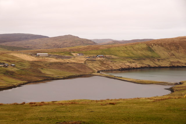
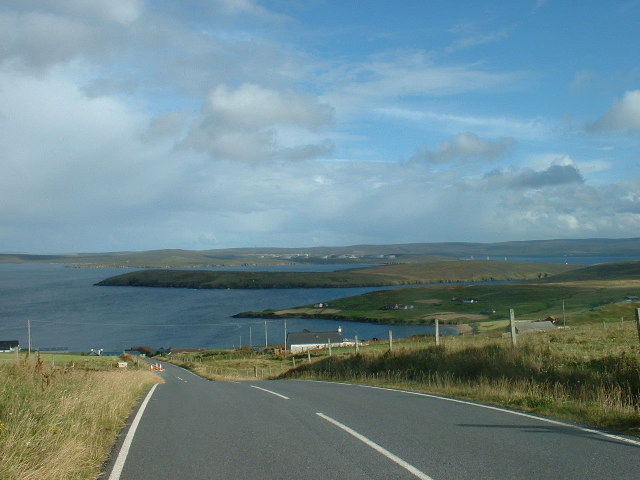
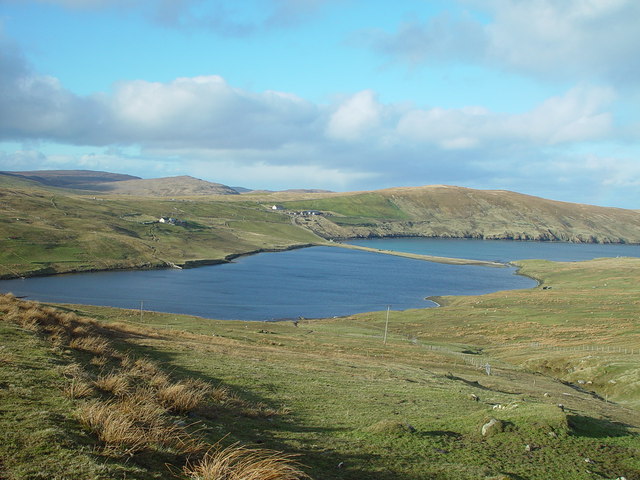
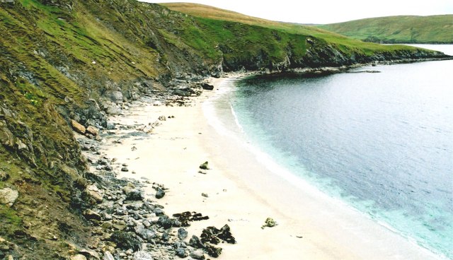
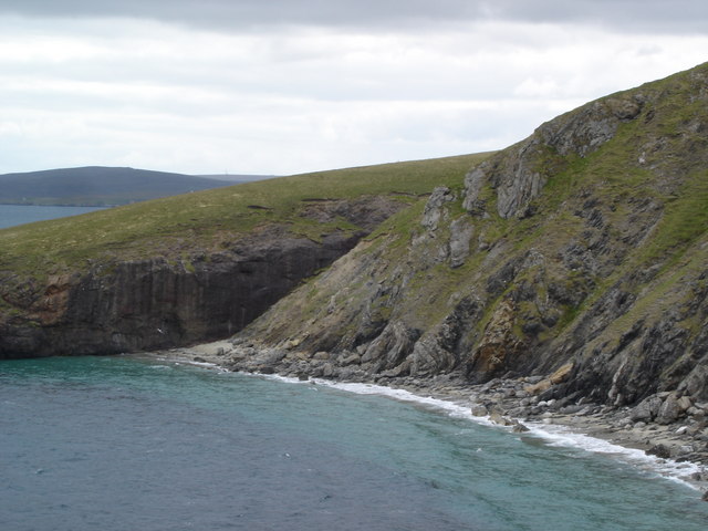
Back Sand, Shetland, is a picturesque beach located on the west coast of the Shetland Islands, an archipelago in Scotland. With its stunning natural beauty and unique features, it is a popular destination for both locals and tourists alike.
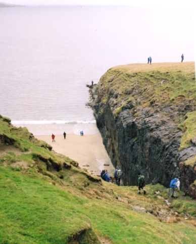
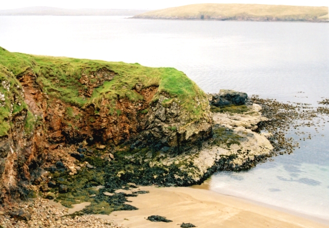
The beach is characterized by its vast expanse of golden sand, stretching for approximately 1.5 kilometers along the coastline. Back Sand is known for its remote and unspoiled atmosphere, offering visitors a sense of tranquility and serenity. The surrounding cliffs provide a dramatic backdrop, adding to the beach's charm.
One of the notable features of Back Sand is the abundance of wildlife that can be observed in the area. Seals can often be spotted basking on the rocks, while a variety of seabirds soar overhead. The beach also offers an opportunity for beachcombing, with numerous shells and interesting rock formations to be discovered.
Back Sand is a great spot for various outdoor activities. The beach is ideal for walking, with the expansive shoreline providing ample space to explore. It is also a popular location for picnics and family outings. The clear waters make it suitable for swimming, although caution should be exercised due to the strong currents.
Access to Back Sand is relatively easy, with a car park located nearby and a short walk to the beach. However, facilities are limited, so visitors are advised to come prepared with food, water, and appropriate clothing.
In conclusion, Back Sand, Shetland, offers visitors a stunning beach experience with its breathtaking scenery, wildlife sightings, and opportunities for outdoor activities. It is a must-visit destination for those seeking a peaceful and natural escape in the Shetland Islands.
If you have any feedback on the listing, please let us know in the comments section below.
Back Sand Images
Images are sourced within 2km of 60.51149/-1.3270996 or Grid Reference HU3781. Thanks to Geograph Open Source API. All images are credited.


Back Sand is located at Grid Ref: HU3781 (Lat: 60.51149, Lng: -1.3270996)
Unitary Authority: Shetland Islands
Police Authority: Highlands and Islands
What 3 Words
///archive.mega.depth. Near Toft, Shetland Islands
Nearby Locations
Related Wikis

Ollaberry
Ollaberry (Old Norse: Olafrsberg, meaning Olaf's Hill) is a village on Mainland, Shetland, Scotland on the west shore of Yell Sound, 10.9 miles (17.5 km...

Lamba, Shetland
Lamba is an uninhabited island in Yell Sound in Shetland. It lies 1.5 km (0.93 mi) north of the entrance to the Sullom Voe inlet and 1.4 kilometres (0...

Little Roe
Little Roe is an island in Yell Sound in the Shetland Islands == History == The island's name is Norse in origin, from Rauðey Litla, meaning "small red...

Voe, Northmavine
Voe is a settlement on the Northmavine peninsula of Mainland, Shetland, Scotland. It is at the head of Ronas Voe and just off the A970 road. == Whaling... ==

Northmavine
Northmavine or Northmaven (Old Norse: Norðan Mæfeið, meaning ‘the land north of the Mavis Grind’) is a peninsula in northwest Mainland Shetland in Scotland...

Eela Water
Eela Water is a freshwater loch (lake) in Northmavine, part of the mainland of Shetland in Scotland. Besides being a freshwater fishing location, the site...

Brother Isle
Brother Isle (Old Norse: breiðare øy meaning broad beach island) is a small, uninhabited island in Shetland, Scotland. It lies between the islands of Yell...

Shetland Gas Plant
The Shetland Gas Plant is a natural-gas processing plant in the Shetland Islands, Scotland. == History == The site is the collection point for the Laggan...
Have you been to Back Sand?
Leave your review of Back Sand below (or comments, questions and feedback).