Ayre of Voxter

Beach in Shetland

Scotland

Ayre of Voxter

Gon Firth Gon Firth is a short inlet to the south of Olna Firth. This is the head of the inlet, with the houses of South Voxter on the hill above it.
Gon Firth Credit: Anne Burgess

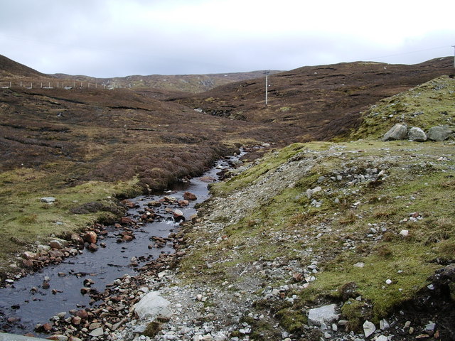
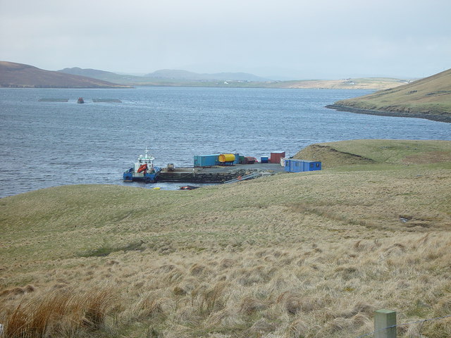
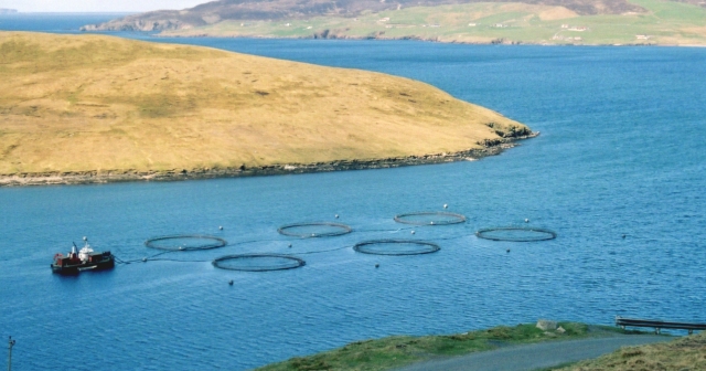
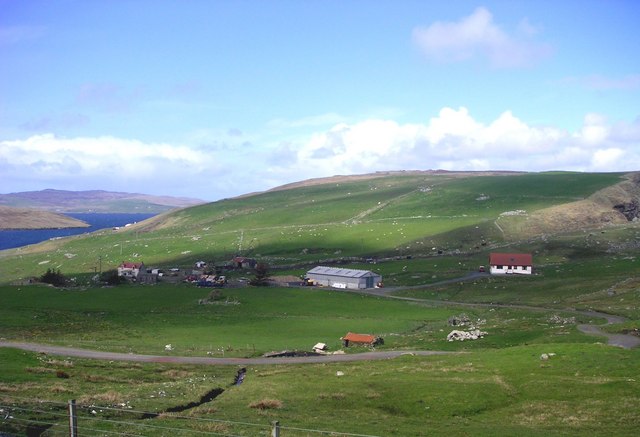
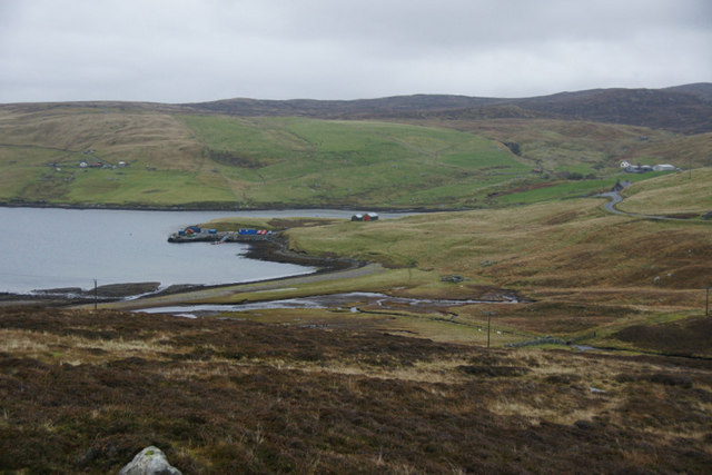
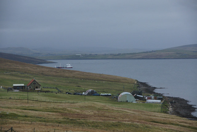
Ayre of Voxter is a picturesque beach located in the Shetland Islands, an archipelago off the northeast coast of Scotland. Situated in the northwestern part of the mainland, this beach offers breathtaking views of the North Atlantic Ocean and the surrounding rugged cliffs. With its pristine white sands and crystal-clear turquoise waters, Ayre of Voxter presents a tranquil and idyllic setting for visitors.

The beach is accessible via a short walk from the nearby village of Voxter, which adds to its secluded and peaceful atmosphere. Surrounded by rolling green hills and rocky outcrops, it provides a stunning backdrop for nature enthusiasts and photographers alike. The beach is relatively small in size, but its remote location ensures a sense of exclusivity and privacy.

Ayre of Voxter is known for its diverse wildlife, making it a popular spot for birdwatching. Visitors may catch a glimpse of various seabirds such as puffins, gulls, and fulmars, as well as seals and otters that occasionally make an appearance in the surrounding waters.

While swimming is not recommended due to the cold temperatures of the North Atlantic, many visitors enjoy leisurely walks along the shore, collecting seashells, or simply relaxing and soaking in the tranquil ambiance. Ayre of Voxter offers a unique opportunity to escape the hustle and bustle of daily life and immerse oneself in the natural beauty of the Shetland Islands.

If you have any feedback on the listing, please let us know in the comments section below.

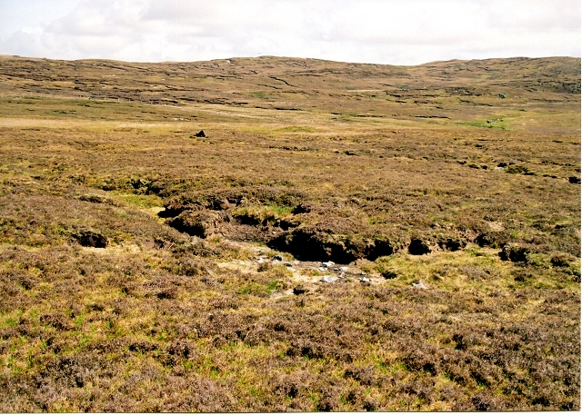
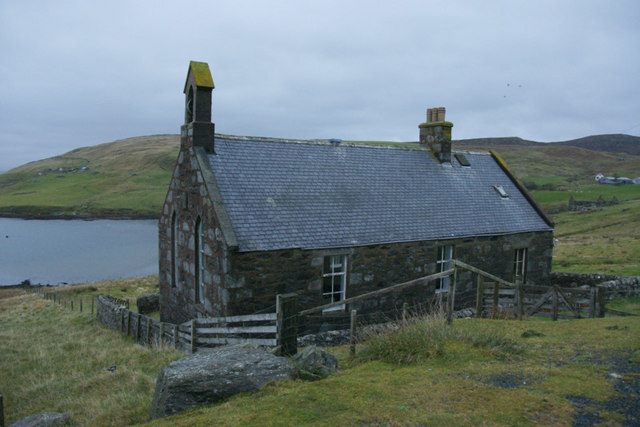
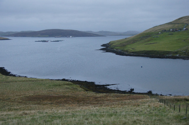
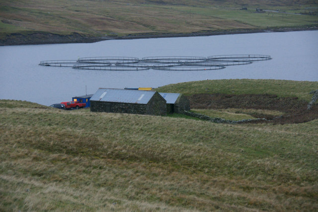
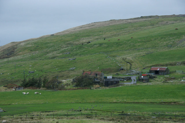
Ayre of Voxter Images

Images are sourced within 2km of 60.334887/-1.339467 or Grid Reference HU3661. Thanks to Geograph Open Source API. All images are credited.

Gon Firth Gon Firth is a short inlet to the south of Olna Firth. This is the head of the inlet, with the houses of South Voxter on the hill above it.
Gon Firth
Gon Firth is a short inlet to the south of Olna Firth. This is the head of the inlet, with the houses of South Voxter on the hill above it.
Burn of Voxter, Shetland Looking southeast, upstream along the Burn of Voxter.  The disturbed ground to the right of the photo is from an old gravel pit.
Burn of Voxter, Shetland
Looking southeast, upstream along the Burn of Voxter. The disturbed ground to the right of the photo is from an old gravel pit.
Ayre of Voxter, Gon Firth, Shetland Where the Burn of Voxter enters Gon Firth a strip of land or 'ayre' extends across from east to west with the burn cutting through at the west end.
Ayre of Voxter, Gon Firth, Shetland
Where the Burn of Voxter enters Gon Firth a strip of land or 'ayre' extends across from east to west with the burn cutting through at the west end.
Pier at Gon Firth, Shetland The pier is used to work the salmon cages seen further out in Gon Firth.
Pier at Gon Firth, Shetland
The pier is used to work the salmon cages seen further out in Gon Firth.
Lochan near Loch of Gonfirth, Shetland Just SW of the Loch of Gonfirth lies another small lochan.
Lochan near Loch of Gonfirth, Shetland
Just SW of the Loch of Gonfirth lies another small lochan.
Gon Firth Fish farms take advantage of the sheltered waters of Shetland, such as Gon Firth.
Gon Firth
Fish farms take advantage of the sheltered waters of Shetland, such as Gon Firth.
Hill of Lee Heather moor above Lee of Gonfirth
Hill of Lee
Heather moor above Lee of Gonfirth
Gonfirth houses.
Gonfirth houses.
Signpost for South Voxter, between Aith and Voe
Ayre of Voxter, Gonfirth
Houses at Cole beside Gon Firth
Ruined crofthouse at Moon, South Voxter
Former church at Gonfirth
Head of Gon Firth
Head of Gon Firth
Fish farm in Gon Firth The buildings are beside a small pier.
Fish farm in Gon Firth
The buildings are beside a small pier.
Houses at Gonfirth
Houses at Gonfirth
The road to Grobsness
Moorland south of Loch of Gonfirth
Show me another place!

Ayre of Voxter is located at Grid Ref: HU3661 (Lat: 60.334887, Lng: -1.339467)

Unitary Authority: Shetland Islands

Police Authority: Highlands and Islands

What 3 Words

///degrading.flamed.apprehend. Near Aith, Shetland Islands

Nearby Locations

Ayre of Voxter Gonfirth

Related Wikis

Shetland

Shetland, also called the Shetland Islands, is an archipelago in Scotland lying between Orkney, the Faroe Islands, and Norway. It is the northernmost region...

Linga, Busta Voe

Linga is a small, uninhabited island, 1 km (0.62 mi) east of Muckle Roe in the Shetland Islands. The island is roughly circular in shape and its highest...

Papa Little

Papa Little (Scots: Papa Little; Old Norse: Papey Litla, meaning "the little island of the priests") is an island in St Magnus Bay, Shetland, Scotland...

Mainland, Shetland

The Mainland is the main island of Shetland, Scotland. The island contains Shetland's only burgh, Lerwick, and is the centre of Shetland's ferry and air...

Nearby Amenities

Located within 500m of 60.334887,-1.339467
Shetland Islands
Gns Classification: ADM1
Gns Uni: 6086842
Is In Country: UK
Is In Country Code: GB
Name De: Shetlandinseln
Name Fr: Îles Shetland
Name Nl: Shetlandeilanden
Name Non: Hjaltland
Place: county
Source: GNS
Lat/Long: 60.333333/-1.333333
Barrier: cattle_grid
Lat/Long: 60.335253/-1.3338463
Barrier: cattle_grid
Lat/Long: 60.3327546/-1.341614
Power: pole
Lat/Long: 60.3320442/-1.333273
Power: pole
Lat/Long: 60.3326802/-1.3331251
Power: pole
Lat/Long: 60.3332869/-1.332991
Power: pole
Lat/Long: 60.3339949/-1.3328363
Power: pole
Lat/Long: 60.3347131/-1.3326817
Power: pole
Lat/Long: 60.3351892/-1.3322859
Power: pole
Lat/Long: 60.3356529/-1.3318607
Power: pole
Lat/Long: 60.3361831/-1.3314013
Power: pole
Lat/Long: 60.3334141/-1.3337528
Power: pole
Lat/Long: 60.3335357/-1.3345101
Power: pole
Lat/Long: 60.3334378/-1.3354335
Power: pole
Lat/Long: 60.3333151/-1.3363591
Power: pole
Lat/Long: 60.3331901/-1.3374507
Power: pole
Lat/Long: 60.3330179/-1.3389199
Power: pole
Lat/Long: 60.3331046/-1.3401161
Power: pole
Lat/Long: 60.3332126/-1.3416035
Power: pole
Lat/Long: 60.3333376/-1.3431909
Power: pole
Lat/Long: 60.3334355/-1.3446487
Power: pole
Lat/Long: 60.3335616/-1.3461997
Power: pole
Lat/Long: 60.3336775/-1.3478098
Power: pole
Lat/Long: 60.3347896/-1.3335254
The data included in this document is from www.openstreetmap.org. The data is made available under ODbL.

Have you been to Ayre of Voxter?

Leave your review of Ayre of Voxter below (or comments, questions and feedback).