Ayre of Lochend

Beach in Shetland

Scotland

Ayre of Lochend

Waiting for the boats It might just be serendipitous but the tall, rough rock beats many pieces of sculpture. Given her position by the pier north of Collafirth and looking out to sea, "Waiting for the boats" would seem an appropriate title for this fishwife.
Waiting for the boats Credit: AlastairG

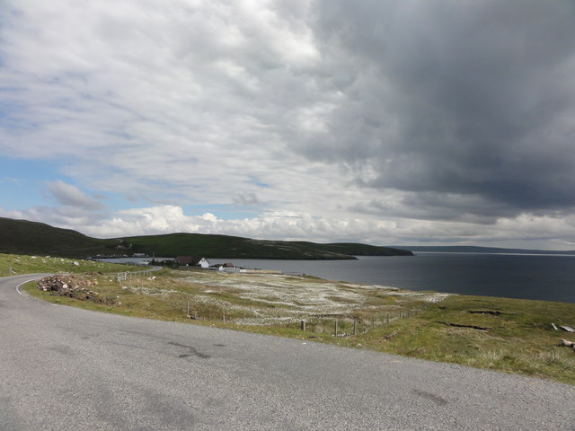
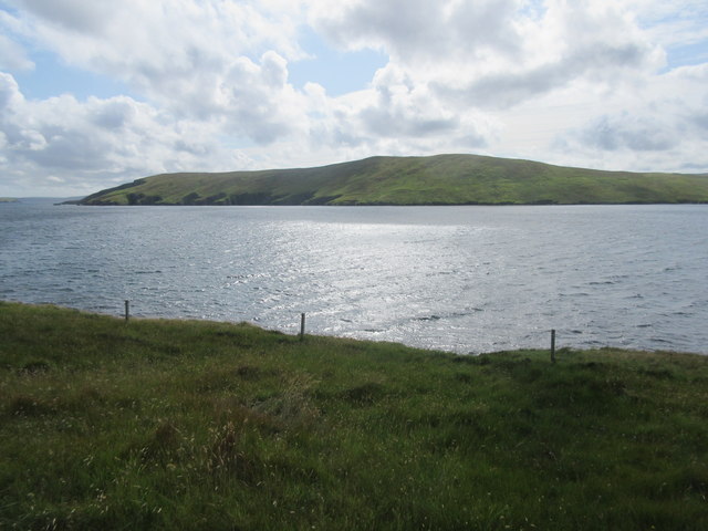
Ayre of Lochend is a picturesque beach located on the island of Shetland, Scotland. Situated on the east coast of the island, this sandy beach offers breathtaking views of the North Sea and the surrounding cliffs. With its untouched natural beauty, Ayre of Lochend is a popular destination for both locals and tourists.

The beach stretches for approximately 1.5 kilometers and is known for its soft golden sand, which is perfect for leisurely walks and sunbathing. Its remote location makes it a peaceful and tranquil spot, ideal for those seeking relaxation and solace. The crystal-clear waters of the North Sea provide an opportunity for swimming, although the temperature can be quite chilly even during summers.

Ayre of Lochend is also a haven for wildlife enthusiasts. Visitors can spot a variety of seabirds, including puffins, fulmars, and guillemots, nesting on the nearby cliffs. Seals are a common sight, often seen basking on the rocks or swimming playfully in the water.

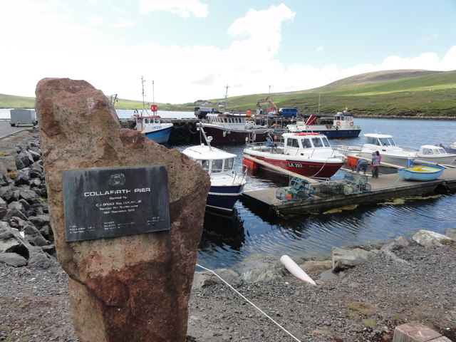
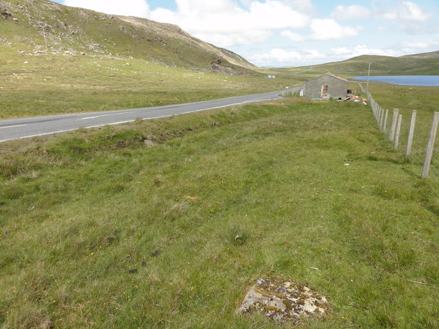
The beach is easily accessible, with a small car park located nearby. However, facilities such as toilets and cafes are limited, so visitors are advised to come prepared with their own food and drinks. It is also important to note that Ayre of Lochend is not a lifeguarded beach, so caution should be exercised while swimming.

Overall, Ayre of Lochend offers a serene and unspoiled coastal experience in the heart of Shetland, making it a must-visit destination for nature lovers and beach enthusiasts alike.

If you have any feedback on the listing, please let us know in the comments section below.

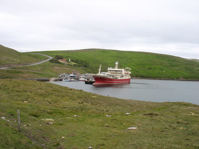
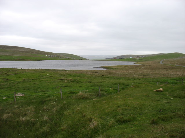
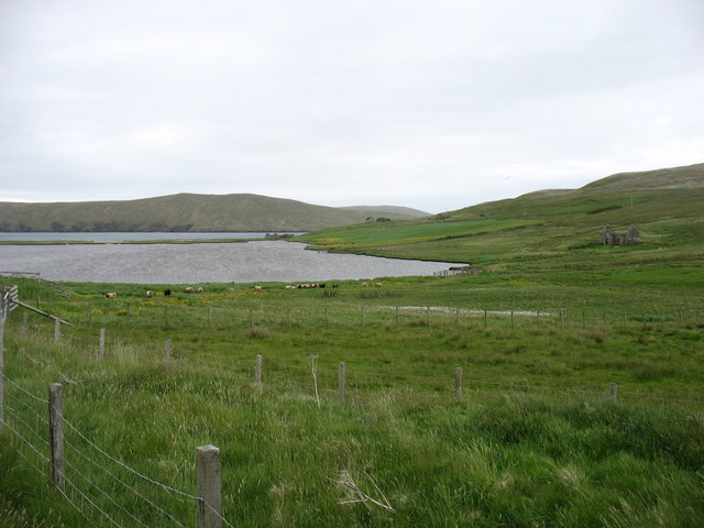
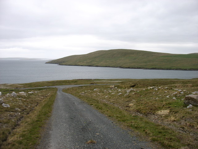
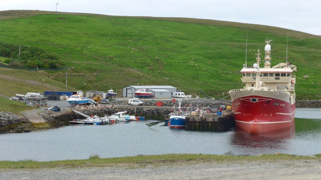
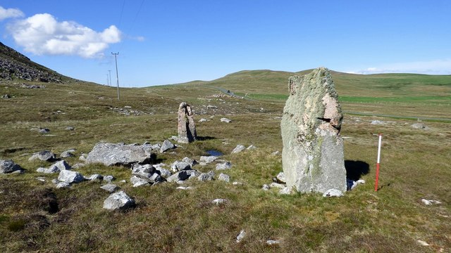
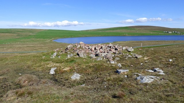
Ayre of Lochend Images

Images are sourced within 2km of 60.539655/-1.3357559 or Grid Reference HU3684. Thanks to Geograph Open Source API. All images are credited.

Waiting for the boats It might just be serendipitous but the tall, rough rock beats many pieces of sculpture. Given her position by the pier north of Collafirth and looking out to sea, "Waiting for the boats" would seem an appropriate title for this fishwife.
Waiting for the boats
It might just be serendipitous but the tall, rough rock beats many pieces of sculpture. Given her position by the pier north of Collafirth and looking out to sea, "Waiting for the boats" would seem an appropriate title for this fishwife.
Hill burn, Collafirth, Shetland The Burn of the Twa-roes falls steeply to join the Burn of Roerwater. This empties into the sea at the Voe of the Brig.
Hill burn, Collafirth, Shetland
The Burn of the Twa-roes falls steeply to join the Burn of Roerwater. This empties into the sea at the Voe of the Brig.
Junction of the Burn of Twa-roes with the Burn of Roerwater This was photographed from the same bridge as <a href="https://www.geograph.org.uk/photo/7316876">HU3484 : Hill burn, Collafirth, Shetland</a>. The gully has been fenced in and has been planted with saplings of native trees.
Junction of the Burn of Twa-roes with the Burn of Roerwater
This was photographed from the same bridge as HU3484 : Hill burn, Collafirth, Shetland. The gully has been fenced in and has been planted with saplings of native trees.
MV Altaire at Collafirth pier, from Queyfirth
North Collafirth from Queyfirth
MV Altaire in Voe of the Brig She seems to be manoeuvring, perhaps to prepare for her next departure?
MV Altaire in Voe of the Brig
She seems to be manoeuvring, perhaps to prepare for her next departure?
Loch of Housetter The road on the right is, believe it or not, the main A970 on Shetland Mainland. To be fair, this far north it is not exactly busy.
Loch of Housetter
The road on the right is, believe it or not, the main A970 on Shetland Mainland. To be fair, this far north it is not exactly busy.
Housetter and Colla Firth
The Beorgs of Collafirth
The track from Collafirth Hill Joining the A970 above Colla Firth.
The track from Collafirth Hill
Joining the A970 above Colla Firth.
North Collafirth View along the A970 at North Collafirth
North Collafirth
View along the A970 at North Collafirth
Collafirth Pier Collafirth Pier redevelopment of a new jetty and out buildings.  The area includes parking for caravans, and provides some basic facilities like a washing machine, electric shower and toilets.
Collafirth Pier
Collafirth Pier redevelopment of a new jetty and out buildings. The area includes parking for caravans, and provides some basic facilities like a washing machine, electric shower and toilets.
Ordnance Survey OSBM bolt Ordnance Survey OSBM bolt, described as NEW OSBM BOLT LIVING ROCK 10.8M SE SIDE RD 17.7M SE C CUL (37.306m above Lerwick datum, 2nd order, new 1970).
Ordnance Survey OSBM bolt
Ordnance Survey OSBM bolt, described as NEW OSBM BOLT LIVING ROCK 10.8M SE SIDE RD 17.7M SE C CUL (37.306m above Lerwick datum, 2nd order, new 1970).
View of the A970 from the OS bolt View north of the A970 from the Ordnance Survey benchmark bolt.
View of the A970 from the OS bolt
View north of the A970 from the Ordnance Survey benchmark bolt.
MV Altaire at Collafirth Pier The Altaire is the only one of Shetland's pelagic fleet which is not based in Whalsay.
MV Altaire at Collafirth Pier
The Altaire is the only one of Shetland's pelagic fleet which is not based in Whalsay.
Colla Firth Looking across Colla Firth, which is just under 1km across so both sides are in the square, to Ness of Queyfirth.
Colla Firth
Looking across Colla Firth, which is just under 1km across so both sides are in the square, to Ness of Queyfirth.
Giant's Grave, Beorgs of Housetter Two large standing stones together with a third recumbent orthostat may be the remains of a facade for a small prehistoric cairn. <span class="nowrap"><a title="https://www.megalithic.co.uk/article.php?sid=6279" rel="nofollow ugc noopener" href="https://www.megalithic.co.uk/article.php?sid=6279">Link</a><img style="margin-left:2px;" alt="External link" title="External link - shift click to open in new window" src="https://s1.geograph.org.uk/img/external.png" width="10" height="10"/></span>
Giant's Grave, Beorgs of Housetter
Two large standing stones together with a third recumbent orthostat may be the remains of a facade for a small prehistoric cairn. LinkExternal link
Trowie Knowe chambered cairn A Neolithic heel shaped chambered cairn with an irregular chamber (Scale 1m). <span class="nowrap"><a title="https://canmore.org.uk/site/834/trowie-knowe-beorgs-of-housetter" rel="nofollow ugc noopener" href="https://canmore.org.uk/site/834/trowie-knowe-beorgs-of-housetter">Link</a><img style="margin-left:2px;" alt="External link" title="External link - shift click to open in new window" src="https://s1.geograph.org.uk/img/external.png" width="10" height="10"/></span>
Trowie Knowe chambered cairn
A Neolithic heel shaped chambered cairn with an irregular chamber (Scale 1m). LinkExternal link
Show me another place!

Ayre of Lochend is located at Grid Ref: HU3684 (Lat: 60.539655, Lng: -1.3357559)

Unitary Authority: Shetland Islands

Police Authority: Highlands and Islands

What 3 Words

///dialects.blog.mirroring. Near Toft, Shetland Islands

Related Wikis

Lamba, Shetland

Lamba is an uninhabited island in Yell Sound in Shetland. It lies 1.5 km (0.93 mi) north of the entrance to the Sullom Voe inlet and 1.4 kilometres (0...

Ollaberry

Ollaberry (Old Norse: Olafrsberg, meaning Olaf's Hill) is a village on Mainland, Shetland, Scotland on the west shore of Yell Sound, 10.9 miles (17.5 km...

Voe, Northmavine

Voe is a settlement on the Northmavine peninsula of Mainland, Shetland, Scotland. It is at the head of Ronas Voe and just off the A970 road. == Whaling... ==

Little Holm, Yell Sound

Little Holm is a small island in Yell Sound, in Shetland, Scotland. It lies between Northmavine and the island of Yell. There is a lighthouse here. In...

Nearby Amenities

Located within 500m of 60.539655,-1.3357559
Barrier: cattle_grid
Lat/Long: 60.543667/-1.3330224
Turning Circle
Lat/Long: 60.5403645/-1.3307374
Power: pole
Lat/Long: 60.5440153/-1.3343373
Power: pole
Lat/Long: 60.5438847/-1.3356623
Power: pole
Lat/Long: 60.5437686/-1.3367942
Power: pole
Lat/Long: 60.5398286/-1.3376418
Power: pole
Lat/Long: 60.5402296/-1.3376284
Power: pole
Lat/Long: 60.54062/-1.337623
Power: pole
Lat/Long: 60.5410158/-1.3375855
Power: pole
Lat/Long: 60.5413891/-1.3374943
Power: pole
Lat/Long: 60.5417571/-1.3373682
Power: pole
Lat/Long: 60.5421753/-1.3372824
Power: pole
Lat/Long: 60.5425855/-1.3371429
Power: pole
Lat/Long: 60.5430036/-1.337041
Power: pole
Lat/Long: 60.5433835/-1.33688
Power: pole
Lat/Long: 60.5435932/-1.3375399
Power: pole
Lat/Long: 60.5436737/-1.3378644
Power: pole
Lat/Long: 60.5435602/-1.3389051
Power: pole
Lat/Long: 60.5434455/-1.3402301
Power: pole
Lat/Long: 60.5405633/-1.3295327
Power: pole
Lat/Long: 60.5410277/-1.3290725
Power: pole
Lat/Long: 60.5415027/-1.3289192
Power: pole
Lat/Long: 60.5419612/-1.3287945
Power: pole
Lat/Long: 60.5423997/-1.3291876
Power: pole
Lat/Long: 60.5429277/-1.3296501
Power: pole
Lat/Long: 60.5431952/-1.3301462
Power: pole
Lat/Long: 60.5427132/-1.3292667
Power: pole
Lat/Long: 60.5424633/-1.3287993
The data included in this document is from www.openstreetmap.org. The data is made available under ODbL.

Have you been to Ayre of Lochend?

Leave your review of Ayre of Lochend below (or comments, questions and feedback).