White Noust

Beach in Shetland

Scotland

White Noust

Broch at Brindister Voe
Broch at Brindister Voe Credit: Mike Pennington

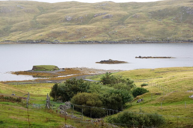
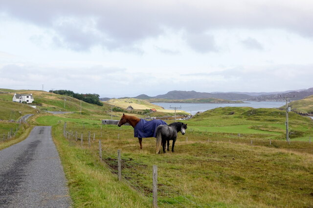
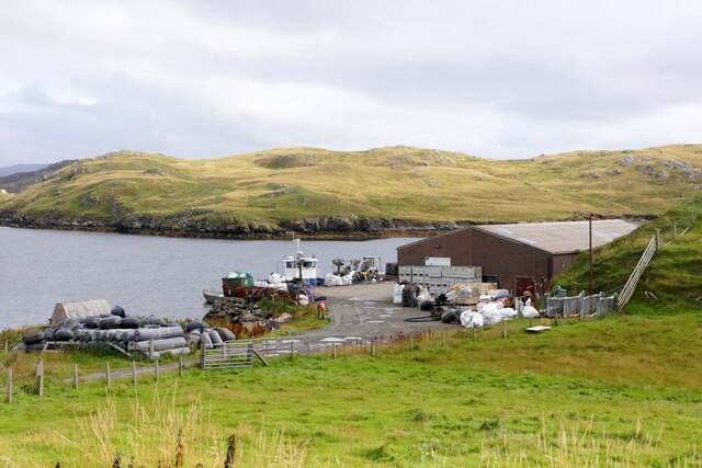
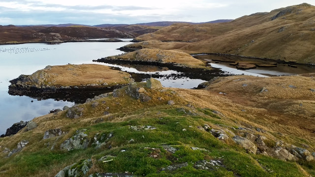
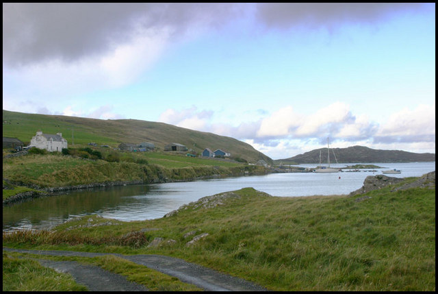
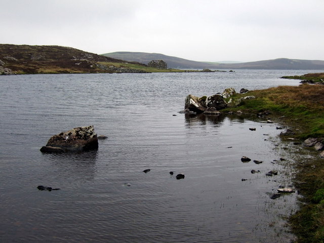
White Noust is a picturesque beach located in the Shetland Islands, situated on the western coast of Scotland. This hidden gem offers visitors a tranquil and stunning natural setting to enjoy. The name "White Noust" comes from the old Norse term for a small beach or cove, reflecting the region's rich Viking heritage.

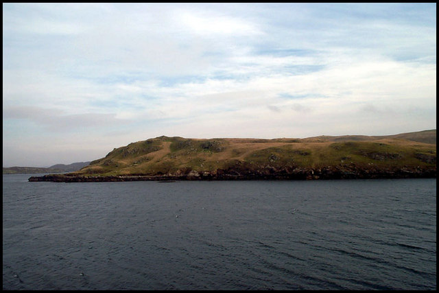
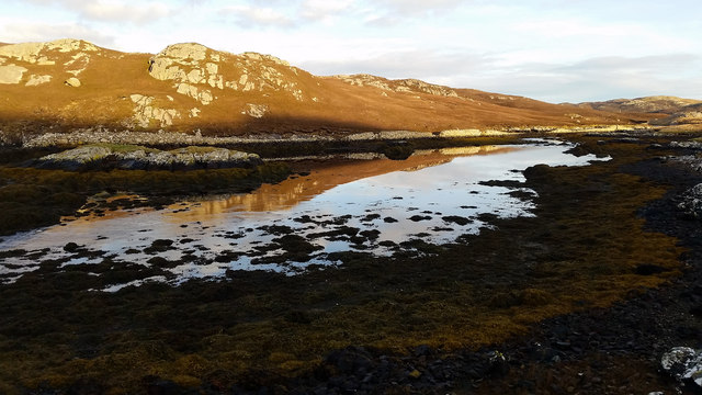
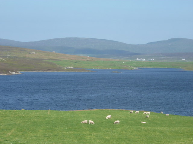
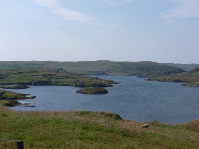
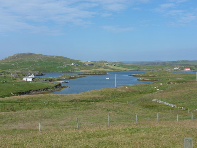
The beach itself is a stretch of pristine white sand, contrasting beautifully with the crystal clear turquoise waters of the North Sea. It is surrounded by rugged cliffs, providing a dramatic backdrop and adding to the sense of seclusion and serenity. The beach is relatively small in size, making it a perfect spot for a peaceful stroll or a quiet picnic.

White Noust is also known for its abundant wildlife, with various seabirds frequenting the area. Visitors may catch sight of puffins, guillemots, and fulmars, among other species, nesting on the cliffs or fishing in the surrounding waters. The beach also offers breathtaking views of the nearby islands and the Atlantic Ocean beyond.

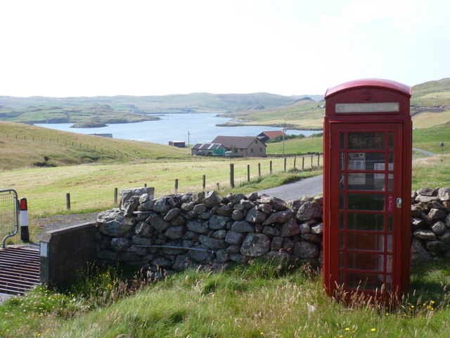
Access to White Noust is relatively straightforward, with a small car park located nearby. From there, a short walk along a well-maintained path leads visitors to the beach. It is important to note that due to the exposed nature of the area, visitors should come prepared for changeable weather conditions and wear appropriate footwear.

Overall, White Noust is a pristine and unspoiled beach that offers a peaceful escape from the bustling world. Its natural beauty, abundant wildlife, and stunning panoramas make it a must-visit destination for nature enthusiasts and those seeking a tranquil beach experience in the Shetland Islands.

If you have any feedback on the listing, please let us know in the comments section below.

White Noust Images

Images are sourced within 2km of 60.29909/-1.4571167 or Grid Reference HU3057. Thanks to Geograph Open Source API. All images are credited.

Broch at Brindister Voe
Horses at Brindister
Pier at Brindister
Pier at Brindister
North Newton and Brindister Voe
View from Muckle Head Looking east from the top of Muckle Head that sits out in the North Voe of Clousta. The small islet is cut off at high water and there is a tidal pool on the right.
View from Muckle Head
Looking east from the top of Muckle Head that sits out in the North Voe of Clousta. The small islet is cut off at high water and there is a tidal pool on the right.
Noonsbrough Settlement Noonsbrough houses and pier with yacht moored
Noonsbrough Settlement
Noonsbrough houses and pier with yacht moored
Longa Ness Coast of Longa Ness from Brindister
Longa Ness
Coast of Longa Ness from Brindister
House at Unifirth
House at Unifirth
The Brigs of Clousta Da Brigs o Clousta at low tide.
The Brigs of Clousta
Da Brigs o Clousta at low tide.
Brindister Voe - skerry The small skerry is unnamed on the map but must be a nuisance to local boatmen.
The Ness of Noonsbrough at the back.
Oh, a scary at the front!
Brindister Voe - skerry
The small skerry is unnamed on the map but must be a nuisance to local boatmen. The Ness of Noonsbrough at the back. Oh, a scary at the front!
Tiny islet on Clings Water Surprisingly rich vegetation on a tiny rocky skerry on the south shore of Clings Water.
Tiny islet on Clings Water
Surprisingly rich vegetation on a tiny rocky skerry on the south shore of Clings Water.
Clings Water Narrow bay at western end of Clings Water with small stone ruin still bearing some roof timbers.
Clings Water
Narrow bay at western end of Clings Water with small stone ruin still bearing some roof timbers.
Clousta: sheep graze by Loch of Vaara Looking across the Loch of Vaara towards a few houses in Braewick to the west side of Aith Voe, as sheep happily graze in fields between us and the loch.
Clousta: sheep graze by Loch of Vaara
Looking across the Loch of Vaara towards a few houses in Braewick to the west side of Aith Voe, as sheep happily graze in fields between us and the loch.
Clousta: the telephone box This must be one of the remotest telephone boxes in Britain, in the hamlet of Clousta at the dead end of a three-mile lane from Twatt and Bixter. Behind it, we have a good view of the Voe of Clousta.
Clousta: the telephone box
This must be one of the remotest telephone boxes in Britain, in the hamlet of Clousta at the dead end of a three-mile lane from Twatt and Bixter. Behind it, we have a good view of the Voe of Clousta.
Clousta: Voe of Clousta Looking down the voe from the lane to Noonsbrough. Holme of Clousta is the small island in the centre.
Clousta: Voe of Clousta
Looking down the voe from the lane to Noonsbrough. Holme of Clousta is the small island in the centre.
Clousta: a tractor-driving mannequin This figure stands outside a house by the Voe of Clousta and has a birthday greeting message on his fluorescent jacket.
Clousta: a tractor-driving mannequin
This figure stands outside a house by the Voe of Clousta and has a birthday greeting message on his fluorescent jacket.
Clousta: Voe of Setter Looking along the Voe of Setter from the lane to Noonsbrough. The Voe is a branch of the Voe of Clousta, which runs left-to-right across the picture.
Clousta: Voe of Setter
Looking along the Voe of Setter from the lane to Noonsbrough. The Voe is a branch of the Voe of Clousta, which runs left-to-right across the picture.
Uni Firth and the Vadills Sinuous inner arms of Brindister Voe. To the left is Uni Firth. Beyond the peninsula and island is the Vadills <a href="https://www.geograph.org.uk/gridref/HU2955">HU2955</a>. The house is at Craw Hill <a href="https://www.geograph.org.uk/gridref/HU2956">HU2956</a>. The high hills in the distance are to the north of Weisdale.
Uni Firth and the Vadills
Sinuous inner arms of Brindister Voe. To the left is Uni Firth. Beyond the peninsula and island is the Vadills HU2955. The house is at Craw Hill HU2956. The high hills in the distance are to the north of Weisdale.
Show me another place!

White Noust is located at Grid Ref: HU3057 (Lat: 60.29909, Lng: -1.4571167)

Unitary Authority: Shetland Islands

Police Authority: Highlands and Islands

What 3 Words

///focus.hardening.samples. Near Aith, Shetland Islands

Related Wikis

Clousta

Clousta is a hamlet on Mainaland, in the island's west, Shetland, Scotland. Approximately seventy people live here, many of whom are commuters, but local...

Brindister, West Mainland

Brindister is a settlement on the West Mainland of Shetland, Scotland. It is within the parish of Sandsting, and on the western shore of Brindister Voe...

Vementry

Vementry (Old Norse: "Vemunðarey") is an uninhabited Scottish island in Shetland on the north side of the West Mainland, lying south of Muckle Roe. �...

Braewick, Sandsting

Braewick is a settlement on the west Mainland of Shetland, Scotland. Braewick is on the western shore of Aith Voe and 1.2 mi (2 km) north of Aith itself...

Linga (near Vementry)

Linga is one of the Shetland Islands, near Vementry. It is one of many islands in Shetland called Linga. The island is uninhabited. == Geography and... ==

Broch of West Burrafirth

The Broch of West Burrafirth is an Iron Age broch located on the west side of Mainland, Shetland (grid reference HU25625720). == Location == The broch...

Aith

Aith, (Shetland dialect: Eid, Old Norse: Eið, meaning Isthmus, cf Eday), is a village on the Northern coast of the West Shetland Mainland, Scotland at...

Park Hall, Shetland

Park Hall is a derelict laird's house situated west of the village of Bixter, in the parish of Sandsting on the Mainland of Shetland, Scotland. It has...

Have you been to White Noust?

Leave your review of White Noust below (or comments, questions and feedback).