Crouga Ness

Coastal Marsh, Saltings in Shetland

Scotland

Crouga Ness

View from Muckle Head Looking east from the top of Muckle Head that sits out in the North Voe of Clousta. The small islet is cut off at high water and there is a tidal pool on the right.
View from Muckle Head Credit: David Nicolson

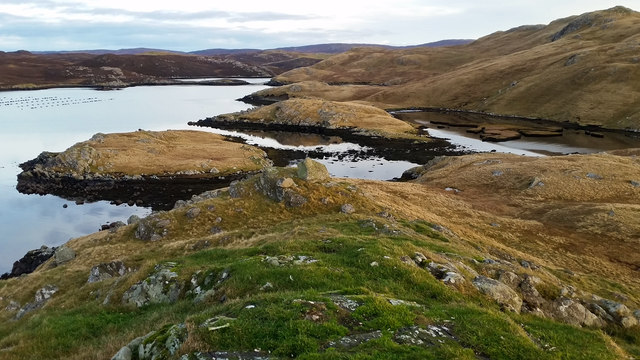
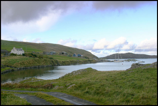
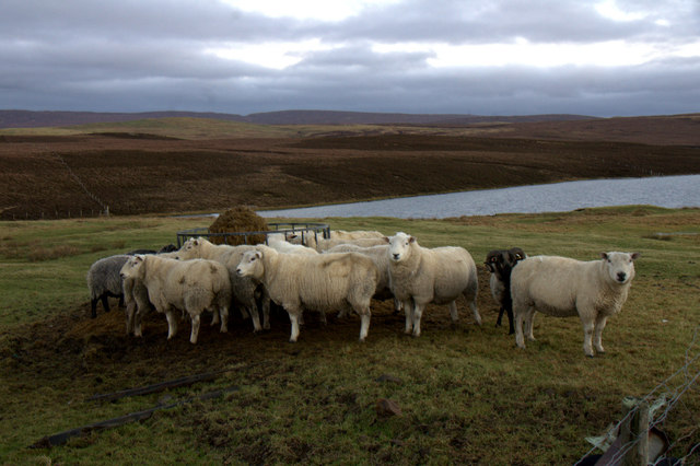
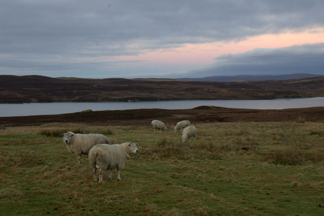
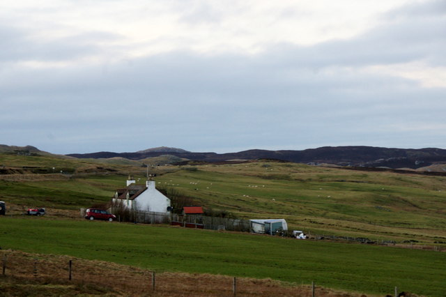
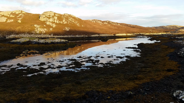
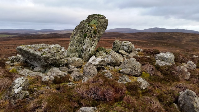
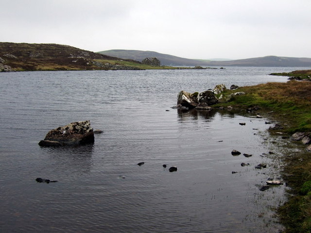
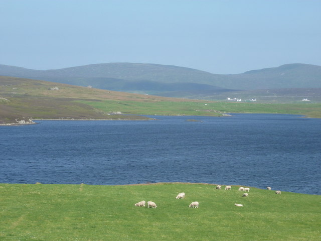
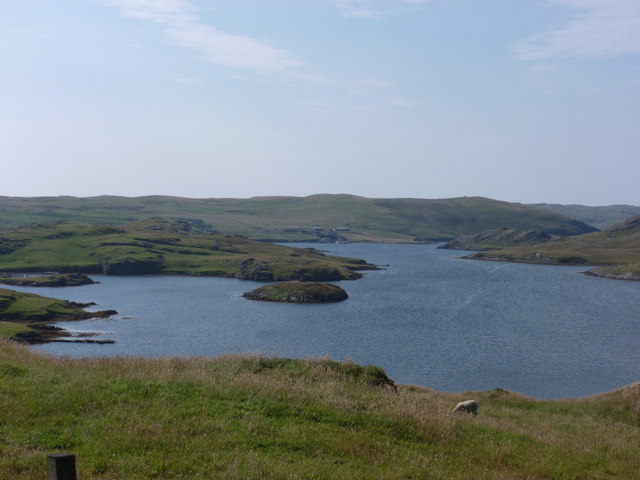
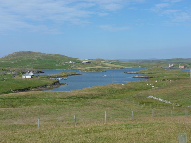
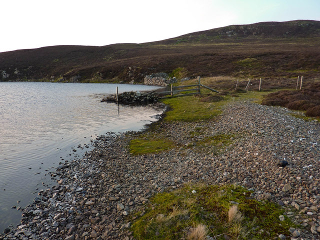
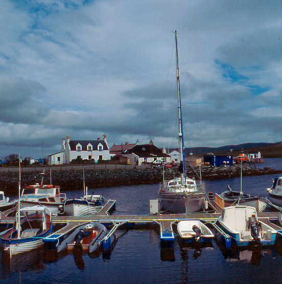
Crouga Ness is a coastal marsh located in Shetland, an archipelago in Scotland. Situated on the eastern coast of the mainland, this area is known for its stunning natural beauty and diverse ecosystem. The marsh is characterized by extensive saltings, which are coastal areas where saltwater floods and recedes.

Covering a significant portion of the coastline, Crouga Ness boasts a rich and unique habitat. The marsh is home to a variety of plant species specially adapted to the saline environment, including sea aster, sea lavender, and sea thrift. These plants not only provide an array of vibrant colors but also serve as vital food sources for numerous animals and birds.

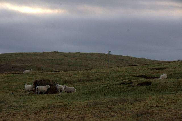
The marsh's location makes it an important breeding ground and resting place for many bird species. During the summer months, it is not uncommon to spot colonies of eider ducks, Arctic terns, and oystercatchers nesting in the area. Additionally, Crouga Ness is a popular spot for birdwatching enthusiasts, who flock to the marsh to catch a glimpse of rare migratory birds passing through.

The ever-changing tides of the North Sea greatly influence the landscape of Crouga Ness. With each tidal cycle, the marsh undergoes a transformation, creating a dynamic and constantly evolving ecosystem. This tidal influence also contributes to the marsh's unique beauty, with the surrounding waters reflecting the colorful flora and fauna.

Overall, Crouga Ness in Shetland is a coastal marsh of ecological significance. Its saline environment, diverse plant life, and abundance of bird species make it a must-visit destination for nature lovers and wildlife enthusiasts.

If you have any feedback on the listing, please let us know in the comments section below.

Crouga Ness Images

Images are sourced within 2km of 60.297034/-1.4481959 or Grid Reference HU3057. Thanks to Geograph Open Source API. All images are credited.

View from Muckle Head Looking east from the top of Muckle Head that sits out in the North Voe of Clousta. The small islet is cut off at high water and there is a tidal pool on the right.
View from Muckle Head
Looking east from the top of Muckle Head that sits out in the North Voe of Clousta. The small islet is cut off at high water and there is a tidal pool on the right.
Noonsbrough Settlement Noonsbrough houses and pier with yacht moored
Noonsbrough Settlement
Noonsbrough houses and pier with yacht moored
Sheep near Greenmeadow, near Twatt
Sheep above Loch of Vaara, between Twatt and Clousta
Sheep near Greenmeadow, near Twatt
West end of Loch of Vaara, between Twatt and Clousta
Greenmeadow, near Clousta
The Brigs of Clousta Da Brigs o Clousta at low tide.
The Brigs of Clousta
Da Brigs o Clousta at low tide.
Gunnie's Grave A chambered cairn known as Gunnie's Grave on the north side of the Loch of Vaara.
Gunnie's Grave
A chambered cairn known as Gunnie's Grave on the north side of the Loch of Vaara.
Langstein Cairn Another ruined cairn within this grid square. This one is listed as being called "The Langstein" in Canmore. The upright stone stands about 5 feet high with the fallen one slightly longer at over 7 feet.
Langstein Cairn
Another ruined cairn within this grid square. This one is listed as being called "The Langstein" in Canmore. The upright stone stands about 5 feet high with the fallen one slightly longer at over 7 feet.
Tiny islet on Clings Water Surprisingly rich vegetation on a tiny rocky skerry on the south shore of Clings Water.
Tiny islet on Clings Water
Surprisingly rich vegetation on a tiny rocky skerry on the south shore of Clings Water.
Clings Water Narrow bay at western end of Clings Water with small stone ruin still bearing some roof timbers.
Clings Water
Narrow bay at western end of Clings Water with small stone ruin still bearing some roof timbers.
Clousta: sheep graze by Loch of Vaara Looking across the Loch of Vaara towards a few houses in Braewick to the west side of Aith Voe, as sheep happily graze in fields between us and the loch.
Clousta: sheep graze by Loch of Vaara
Looking across the Loch of Vaara towards a few houses in Braewick to the west side of Aith Voe, as sheep happily graze in fields between us and the loch.
Clousta: the telephone box This must be one of the remotest telephone boxes in Britain, in the hamlet of Clousta at the dead end of a three-mile lane from Twatt and Bixter. Behind it, we have a good view of the Voe of Clousta.
Clousta: the telephone box
This must be one of the remotest telephone boxes in Britain, in the hamlet of Clousta at the dead end of a three-mile lane from Twatt and Bixter. Behind it, we have a good view of the Voe of Clousta.
Clousta: Voe of Clousta Looking down the voe from the lane to Noonsbrough. Holme of Clousta is the small island in the centre.
Clousta: Voe of Clousta
Looking down the voe from the lane to Noonsbrough. Holme of Clousta is the small island in the centre.
Clousta: a tractor-driving mannequin This figure stands outside a house by the Voe of Clousta and has a birthday greeting message on his fluorescent jacket.
Clousta: a tractor-driving mannequin
This figure stands outside a house by the Voe of Clousta and has a birthday greeting message on his fluorescent jacket.
Clousta: Voe of Setter Looking along the Voe of Setter from the lane to Noonsbrough. The Voe is a branch of the Voe of Clousta, which runs left-to-right across the picture.
Clousta: Voe of Setter
Looking along the Voe of Setter from the lane to Noonsbrough. The Voe is a branch of the Voe of Clousta, which runs left-to-right across the picture.
SE bay of Clings Water Stony beach, dyke end and old sheep crö in the small bay at the SE extremity of Clings Water.
SE bay of Clings Water
Stony beach, dyke end and old sheep crö in the small bay at the SE extremity of Clings Water.
Show me another place!

Crouga Ness is located at Grid Ref: HU3057 (Lat: 60.297034, Lng: -1.4481959)

Unitary Authority: Shetland Islands

Police Authority: Highlands and Islands

What 3 Words

///score.timed.indicates. Near Aith, Shetland Islands

Related Wikis

Clousta

Clousta is a hamlet on Mainaland, in the island's west, Shetland, Scotland. Approximately seventy people live here, many of whom are commuters, but local...

Brindister, West Mainland

Brindister is a settlement on the West Mainland of Shetland, Scotland. It is within the parish of Sandsting, and on the western shore of Brindister Voe...

Braewick, Sandsting

Braewick is a settlement on the west Mainland of Shetland, Scotland. Braewick is on the western shore of Aith Voe and 1.2 mi (2 km) north of Aith itself...

Vementry

Vementry (Old Norse: "Vemunðarey") is an uninhabited Scottish island in Shetland on the north side of the West Mainland, lying south of Muckle Roe. �...

Linga (near Vementry)

Linga is one of the Shetland Islands, near Vementry. It is one of many islands in Shetland called Linga. The island is uninhabited. == Geography and... ==

Aith

Aith, (Shetland dialect: Eid, Old Norse: Eið, meaning Isthmus, cf Eday), is a village on the Northern coast of the West Shetland Mainland, Scotland at...
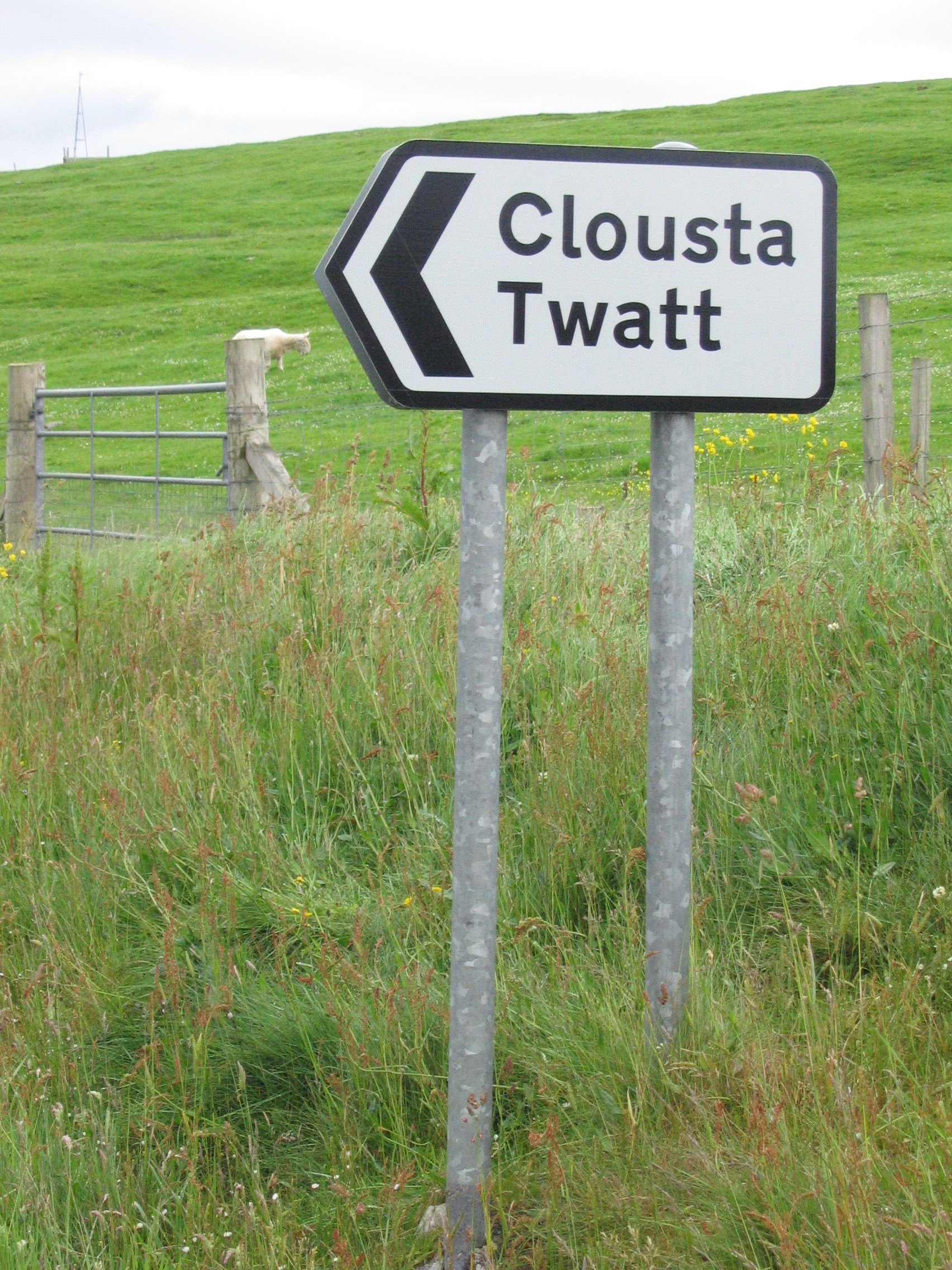
Twatt, Shetland

Twatt is a settlement in the Shetland Islands of Scotland. It is located on the Shetland Mainland on a minor road that leads from the A971 road to Clousta...

Park Hall, Shetland

Park Hall is a derelict laird's house situated west of the village of Bixter, in the parish of Sandsting on the Mainland of Shetland, Scotland. It has...

Nearby Amenities

Located within 500m of 60.297034,-1.4481959
Power: pole
Lat/Long: 60.2992272/-1.4409332
Power: pole
Lat/Long: 60.2990738/-1.4417928
Power: pole
Lat/Long: 60.298696/-1.4423751
Power: pole
Lat/Long: 60.3012925/-1.4463033
Bus Stop
Clousta
Fixme: Location unknown
Public Transport: platform
Lat/Long: 60.3000568/-1.4426529
The data included in this document is from www.openstreetmap.org. The data is made available under ODbL.

Have you been to Crouga Ness?

Leave your review of Crouga Ness below (or comments, questions and feedback).