Abertay Sands

Beach in Fife

Scotland

Abertay Sands

Sands near Tentsmuir Point Looking north-westwards over the sands towards Tentsmuir Point
Sands near Tentsmuir Point Credit: Scott Cormie

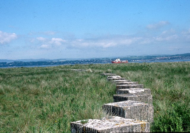
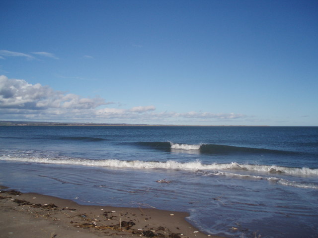
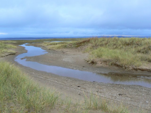
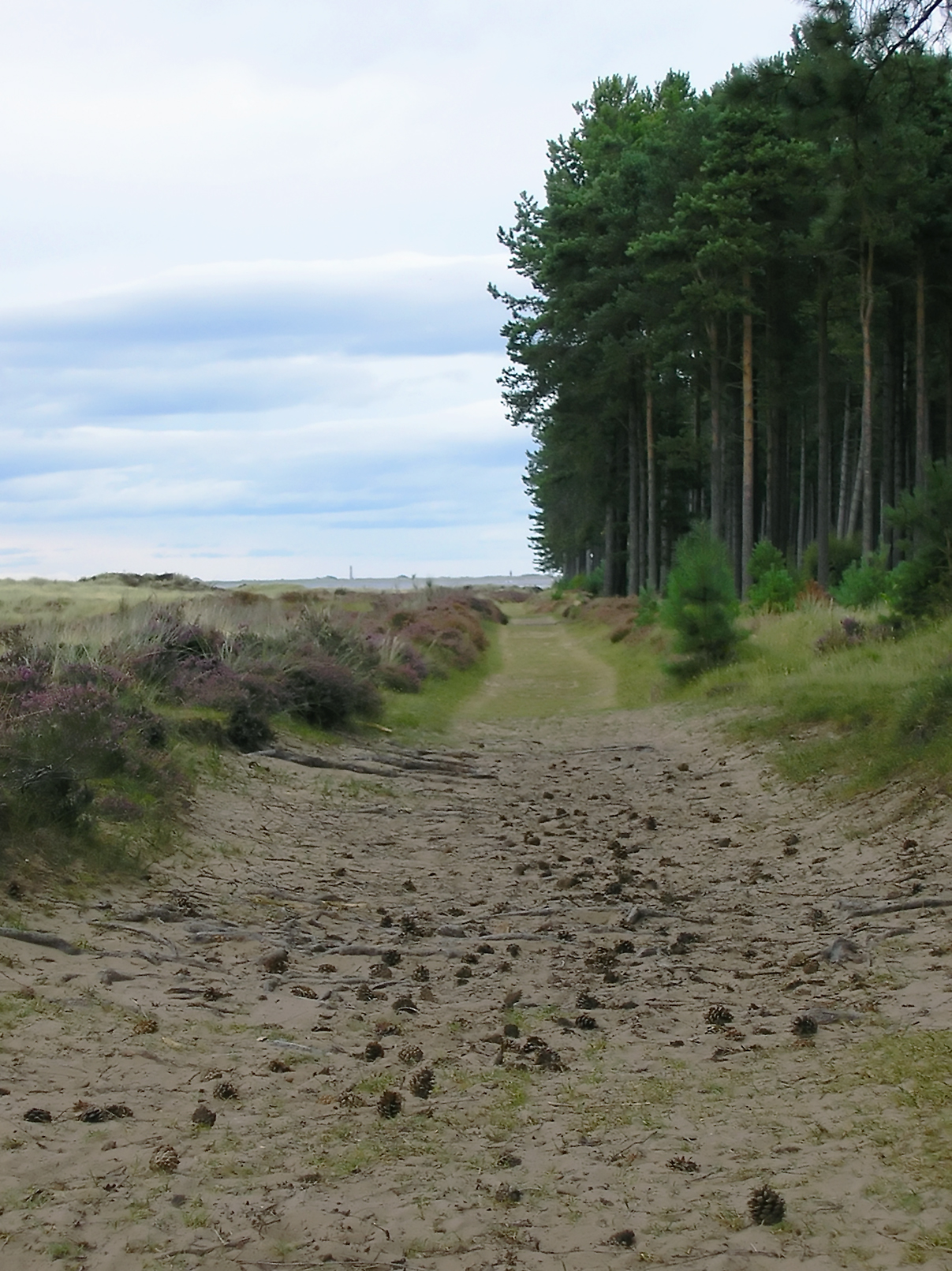
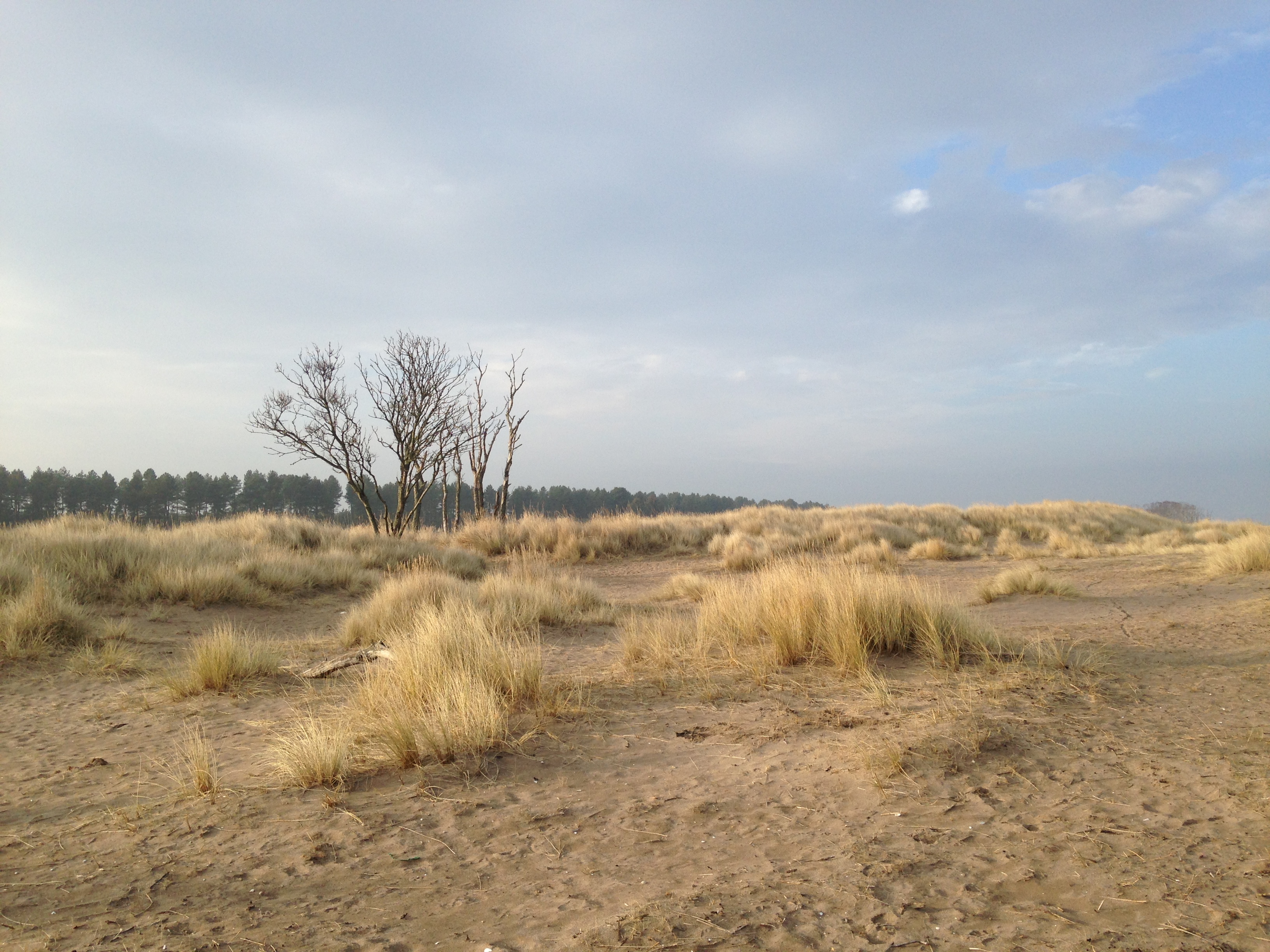
Abertay Sands is a picturesque sandy beach located in the coastal town of Tayport, in the county of Fife, Scotland. Situated along the eastern shore of the Tay Estuary, this beach offers stunning views of the surrounding landscapes, including the iconic Tay Rail Bridge and the city of Dundee in the distance.

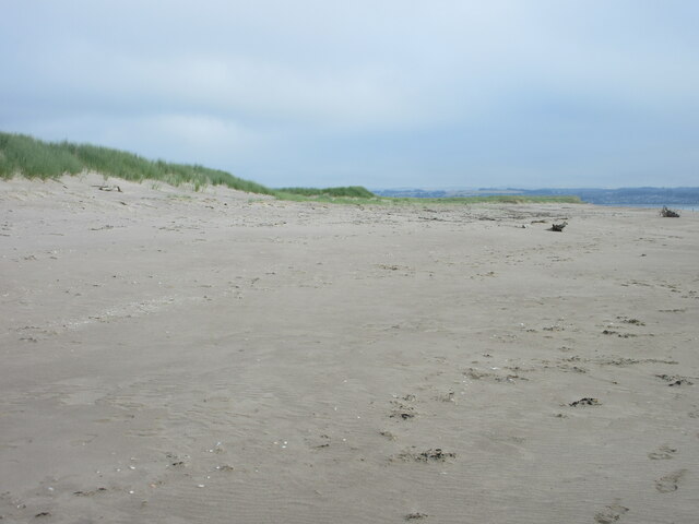
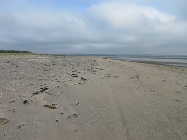
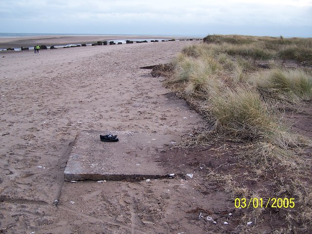
The beach stretches for approximately half a mile and is known for its soft golden sand, making it a popular destination for beachgoers and families during the summer months. The beach is easily accessible, with a car park located nearby and several walking paths leading to the shore.

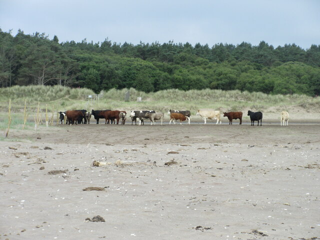
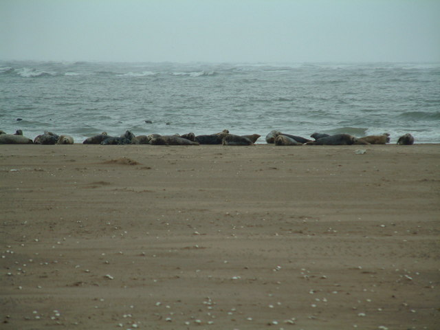
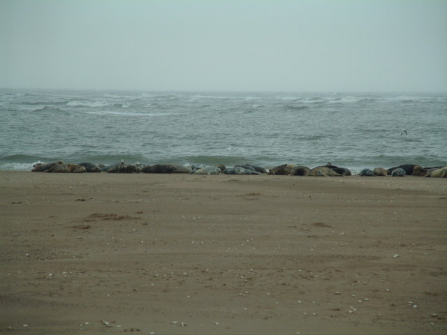
Abertay Sands is a haven for wildlife enthusiasts, as the area is rich in birdlife. Many seabirds can be spotted along the shoreline, including gulls, oystercatchers, and sandpipers. The beach is also home to a variety of marine life, such as crabs, starfish, and small fish, making it an ideal spot for rock pooling.

The beach is known for its calm and tranquil atmosphere, making it a great place for relaxation and leisurely walks. Visitors can take advantage of the open space and enjoy activities such as picnicking, sunbathing, or simply strolling along the shoreline.

Overall, Abertay Sands in Fife is a charming and idyllic beach, perfect for those seeking a peaceful and scenic coastal experience. Its natural beauty, accessibility, and abundance of wildlife make it a must-visit destination for locals and tourists alike.

If you have any feedback on the listing, please let us know in the comments section below.

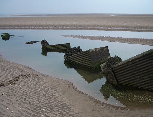
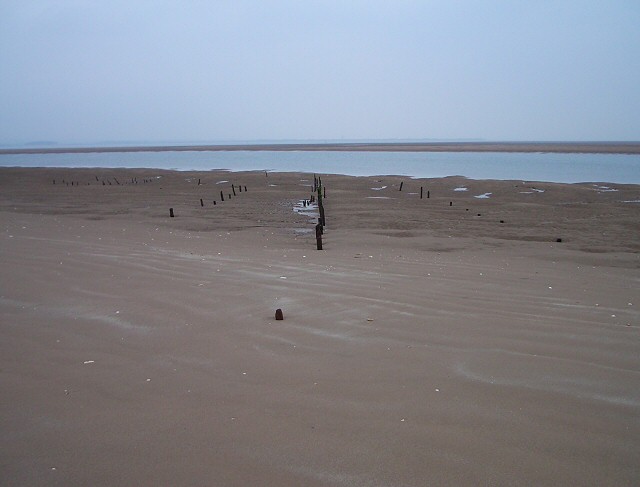
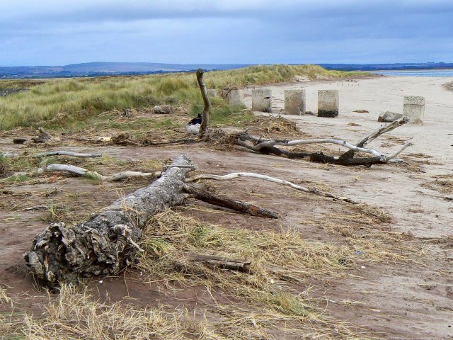
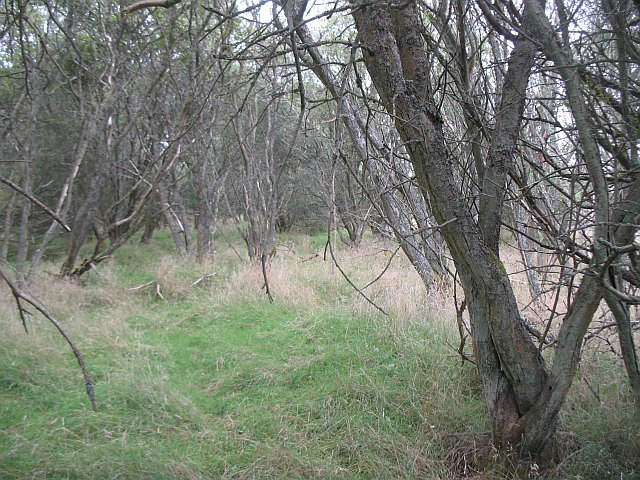
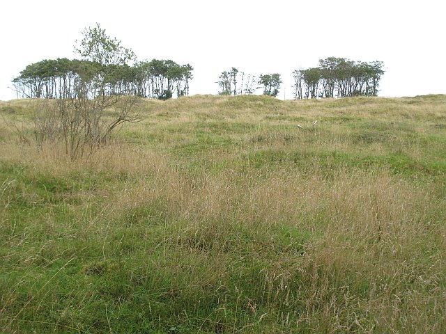
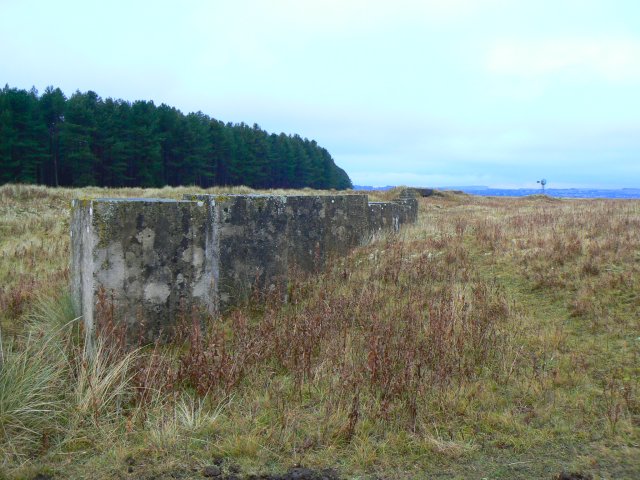
Abertay Sands Images

Images are sourced within 2km of 56.441481/-2.784378 or Grid Reference NO5127. Thanks to Geograph Open Source API. All images are credited.

Sands near Tentsmuir Point Looking north-westwards over the sands towards Tentsmuir Point
Sands near Tentsmuir Point
Looking north-westwards over the sands towards Tentsmuir Point
Tentsmuir Beach Looking northwards up Tentsmuir Beach.
Tentsmuir Beach
Looking northwards up Tentsmuir Beach.
Cattle on the beach Looking west to cattle on Tentsmuir Beach.
Cattle on the beach
Looking west to cattle on Tentsmuir Beach.
Tentsmuir Sands Looking SSE. WWII Anti-tank cubes
Tentsmuir Sands
Looking SSE. WWII Anti-tank cubes
Tentsmuir Sands Looking SSE. WWII antitank cubes
Tentsmuir Sands
Looking SSE. WWII antitank cubes
Tank traps, Tentsmuir These tank traps were put in place on the beach in 1940. Since then the sand dune system at Tentsmuir has grown seawards by about five metres a year!
Tank traps, Tentsmuir
These tank traps were put in place on the beach in 1940. Since then the sand dune system at Tentsmuir has grown seawards by about five metres a year!
Seals on a sand bank A colony of seals hauled out on a stretch of sand in Tentsmuir Nature Reserve
Seals on a sand bank
A colony of seals hauled out on a stretch of sand in Tentsmuir Nature Reserve
So that's where all the fish have gone? A group of grey seals (including to or three pups, light coloured, near the centre of the photo) hauled up out of a wintry sea onto a sandbank near Abertay Sands, where the river Tay reaches the North Sea
So that's where all the fish have gone?
A group of grey seals (including to or three pups, light coloured, near the centre of the photo) hauled up out of a wintry sea onto a sandbank near Abertay Sands, where the river Tay reaches the North Sea
As far as you can walk to the East Taken at high tide
As far as you can walk to the East
Taken at high tide
Tank Traps,Tentsmuir Sands This section of the wartime defences seems to have been undermined by shifting sands.
Tank Traps,Tentsmuir Sands
This section of the wartime defences seems to have been undermined by shifting sands.
Tentsmuir Sands These posts were probably connected with salmon fishing. There are marker posts in the forest for different fishing beats as well as an ice house <a href="https://www.geograph.org.uk/photo/324012">NO5026 : Tentsmuir Ice House</a> to keep the catch fresh.
Tentsmuir Sands
These posts were probably connected with salmon fishing. There are marker posts in the forest for different fishing beats as well as an ice house NO5026 : Tentsmuir Ice House to keep the catch fresh.
Driftwood and Dragon's Teeth The anti-tank concrete blocks were erected in 1940 along the then shoreline. Since that time, the shoreline has retreated into the North Sea at an average rate of five metres each year.
Driftwood and Dragon's Teeth
The anti-tank concrete blocks were erected in 1940 along the then shoreline. Since that time, the shoreline has retreated into the North Sea at an average rate of five metres each year.
Dunes' edge Walking along the beach above the high tide mark we were sheltered from the biting wind by the overhanging edge of the dunes.
Dunes' edge
Walking along the beach above the high tide mark we were sheltered from the biting wind by the overhanging edge of the dunes.
Grey seals hauled-out near Tentsmuir Point
Willows, Tentsmuir Between the present day active dune system and the old forested dunes, there is a strip of slacks, damp and covered in willow woods. Similar woods can be found in the dune system over the Tay at Buddon Ness which has not been forested, suggesting that this may be a natural vegetation type in this terrain.
Willows, Tentsmuir
Between the present day active dune system and the old forested dunes, there is a strip of slacks, damp and covered in willow woods. Similar woods can be found in the dune system over the Tay at Buddon Ness which has not been forested, suggesting that this may be a natural vegetation type in this terrain.
Links, Tents Muir This land is mapped as forest, but has recently been cleared to recreate the links habitat prior to the arrival of the Forestry Commission.
Links, Tents Muir
This land is mapped as forest, but has recently been cleared to recreate the links habitat prior to the arrival of the Forestry Commission.
Souvenirs of WW2 Concrete block anti-tank defences dating from 1940 still line the seaward edge of Tentsmuir Forest.
Souvenirs of WW2
Concrete block anti-tank defences dating from 1940 still line the seaward edge of Tentsmuir Forest.
Salt water creek A strip of brackish water among the dunes near Tentsmuir Point.
Salt water creek
A strip of brackish water among the dunes near Tentsmuir Point.
Show me another place!

Abertay Sands is located at Grid Ref: NO5127 (Lat: 56.441481, Lng: -2.784378)

Unitary Authority: Fife

Police Authority: Fife

What 3 Words

///meaty.oven.escapades. Near Monifieth, Angus

Nearby Locations

Abertay Sands

Related Wikis

Have you been to Abertay Sands?

Leave your review of Abertay Sands below (or comments, questions and feedback).