Backhill Sands
Beach in Somerset
England
Backhill Sands
Backhill Sands is a stunning beach located in Somerset, England. Situated on the coastline of the Bristol Channel, this picturesque sandy stretch offers visitors a tranquil and idyllic setting. The beach is known for its natural beauty, with breathtaking views of the surrounding cliffs and rolling hills.
Backhill Sands is a relatively unspoiled beach, making it a popular destination for those seeking a peaceful and secluded getaway. The sandy shore is wide and stretches for approximately half a mile, providing ample space for sunbathing, picnicking, and leisurely strolls. The beach is also great for children, as the firm sand allows for sandcastle building and beach games.
The crystal-clear waters that lap the shores of Backhill Sands are perfect for swimming, although the currents can sometimes be strong, so caution is advised. The beach is also a haven for water sports enthusiasts, with activities such as surfing, paddleboarding, and kayaking being popular choices.
In addition to its natural beauty, Backhill Sands offers excellent facilities for visitors. There is a car park nearby for easy access, and public toilets are available for convenience. The beach is also dog-friendly, providing a great opportunity for pet owners to enjoy a leisurely walk along the coast with their furry friends.
Overall, Backhill Sands is a hidden gem on the Somerset coastline, offering a peaceful and picturesque escape for visitors. Its unspoiled beauty, stunning views, and range of activities make it a must-visit destination for nature lovers and beach enthusiasts alike.
If you have any feedback on the listing, please let us know in the comments section below.
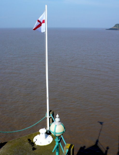
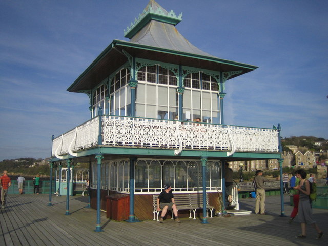
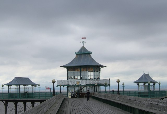
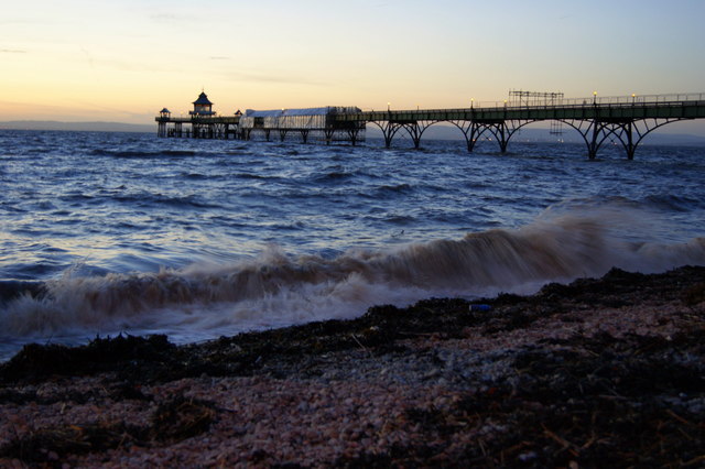
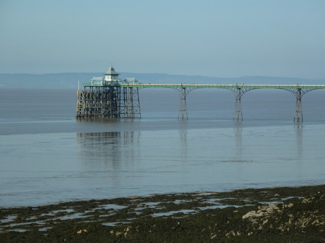
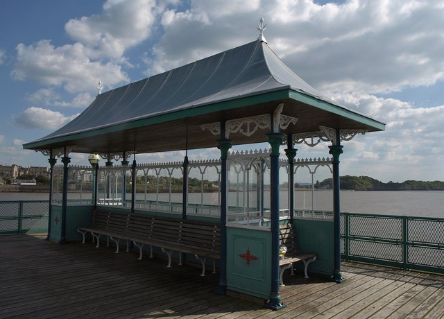
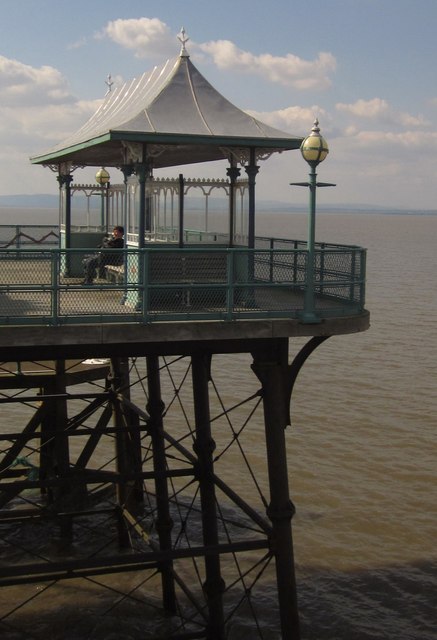
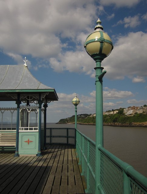
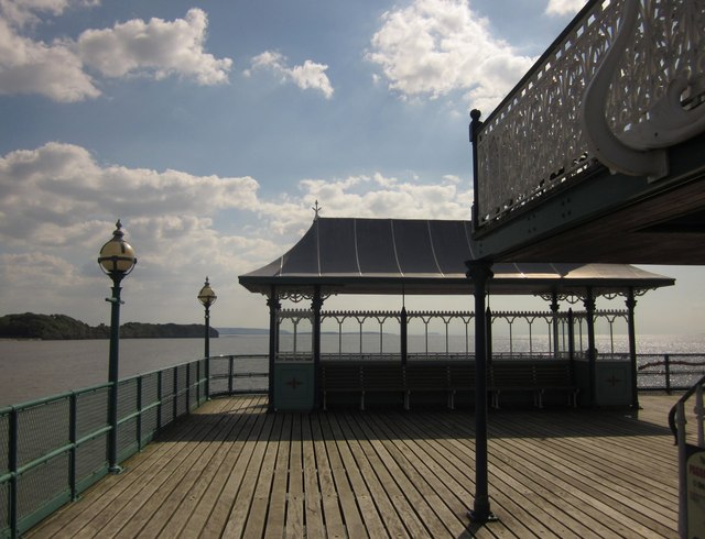
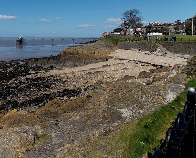
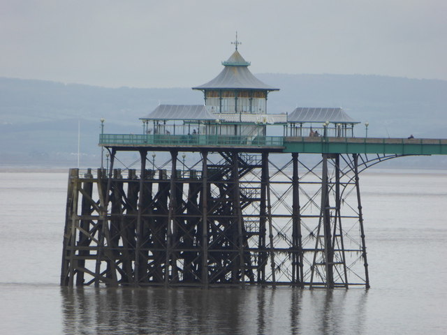
Backhill Sands Images
Images are sourced within 2km of 51.454899/-2.8503787 or Grid Reference ST4173. Thanks to Geograph Open Source API. All images are credited.


Backhill Sands is located at Grid Ref: ST4173 (Lat: 51.454899, Lng: -2.8503787)
Unitary Authority: North Somerset
Police Authority: Avon and Somerset
What 3 Words
///closed.ends.desk. Near Clevedon, Somerset
Nearby Locations
Related Wikis
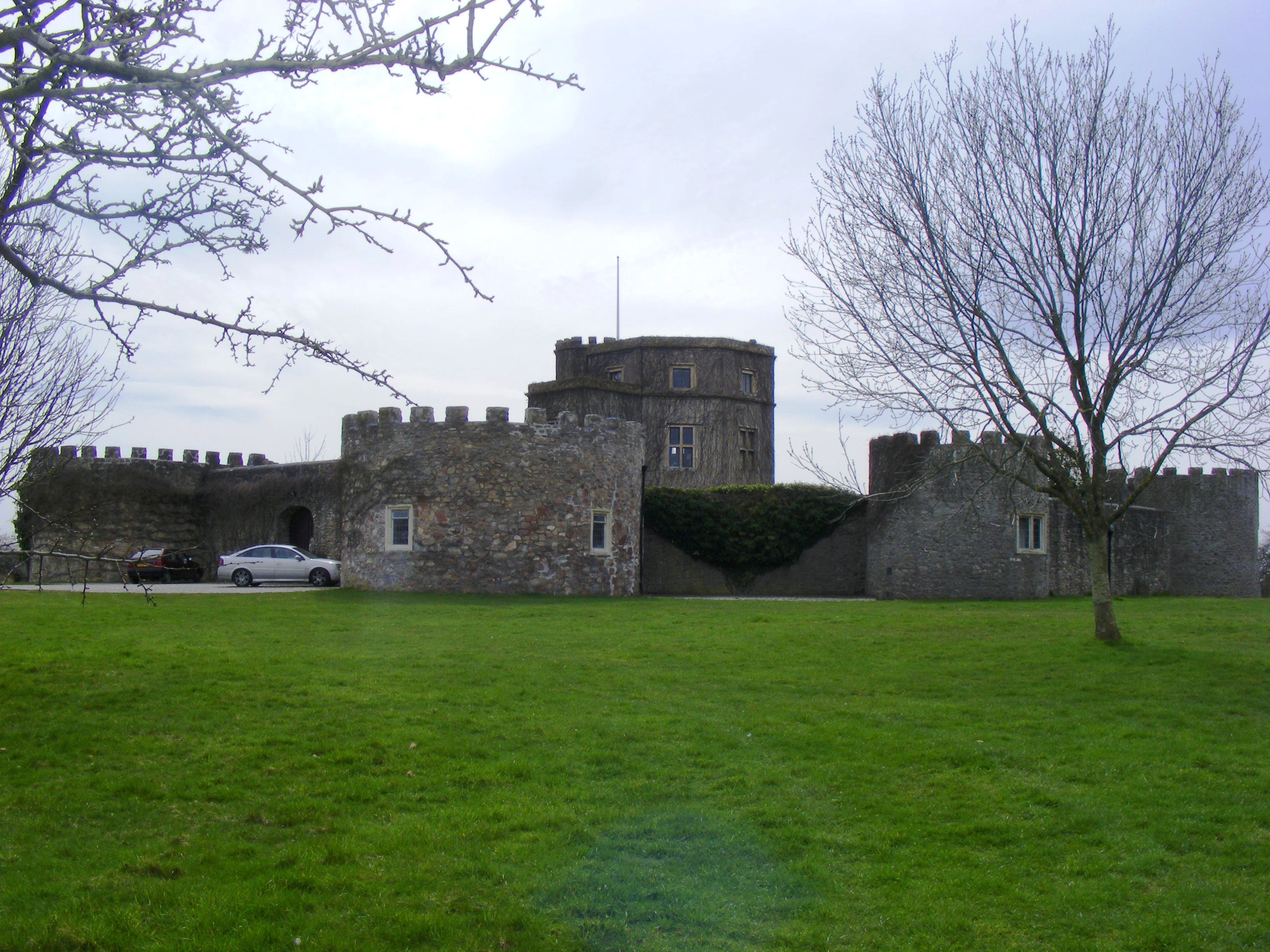
Walton Castle
Walton Castle is a 17th-century, Grade II listed mock castle set upon a hill in Clevedon, North Somerset, England, on the site of an earlier Iron Age hill...

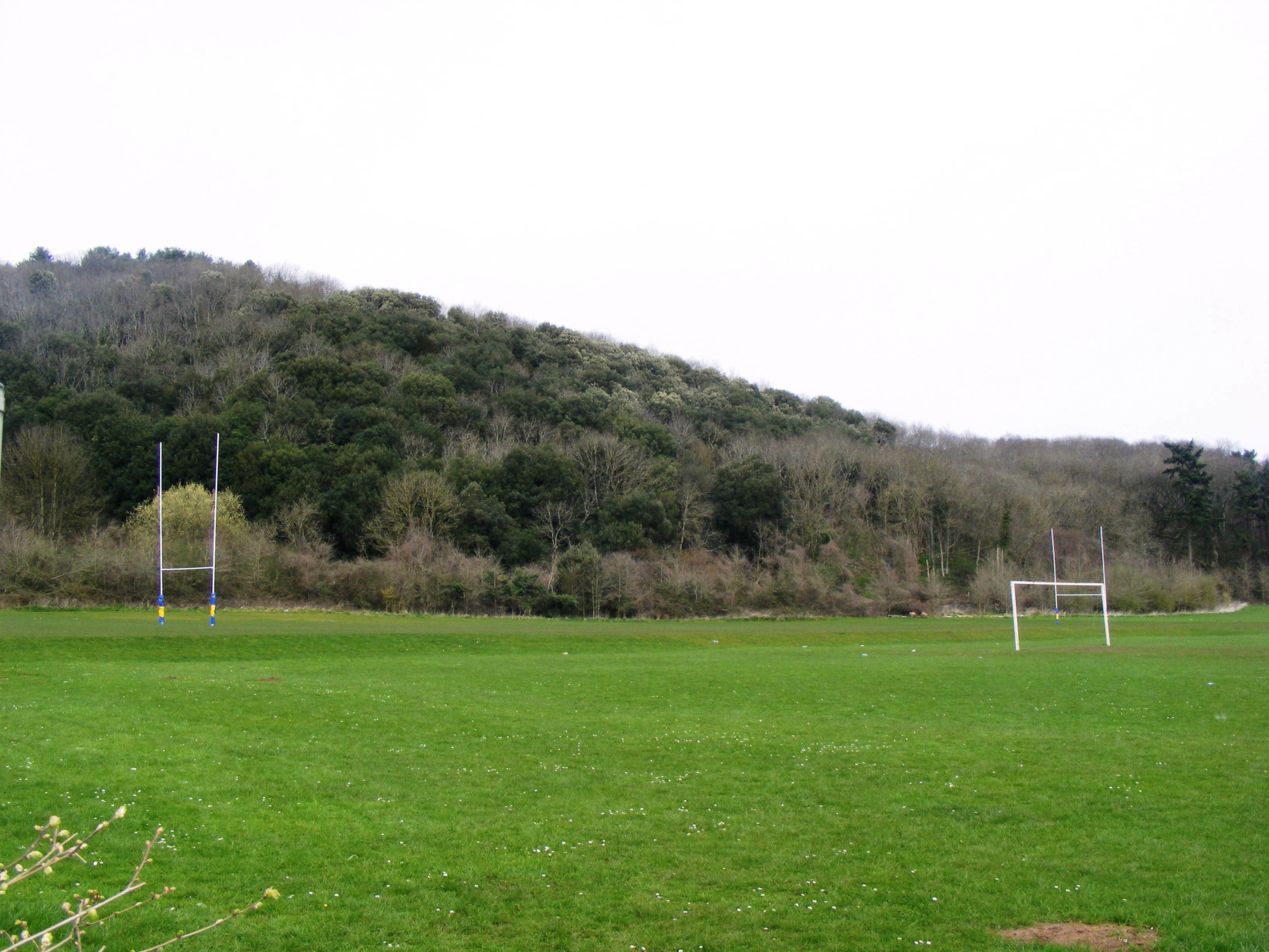
Clevedon School
Clevedon School, formerly known as Clevedon Community School, is a coeducational secondary school located in Clevedon, North Somerset, England. It has...
Holly Lane SSSI
Holly Lane SSSI (grid reference ST419727) is a 0.5 hectare geological Site of Special Scientific Interest near the village of Walton St. Mary, North Somerset...
Walton Park railway station
Walton Park railway station served the village of Walton in Gordano, North Somerset, England from 1907 to 1940 on the Weston, Clevedon and Portishead Railway...
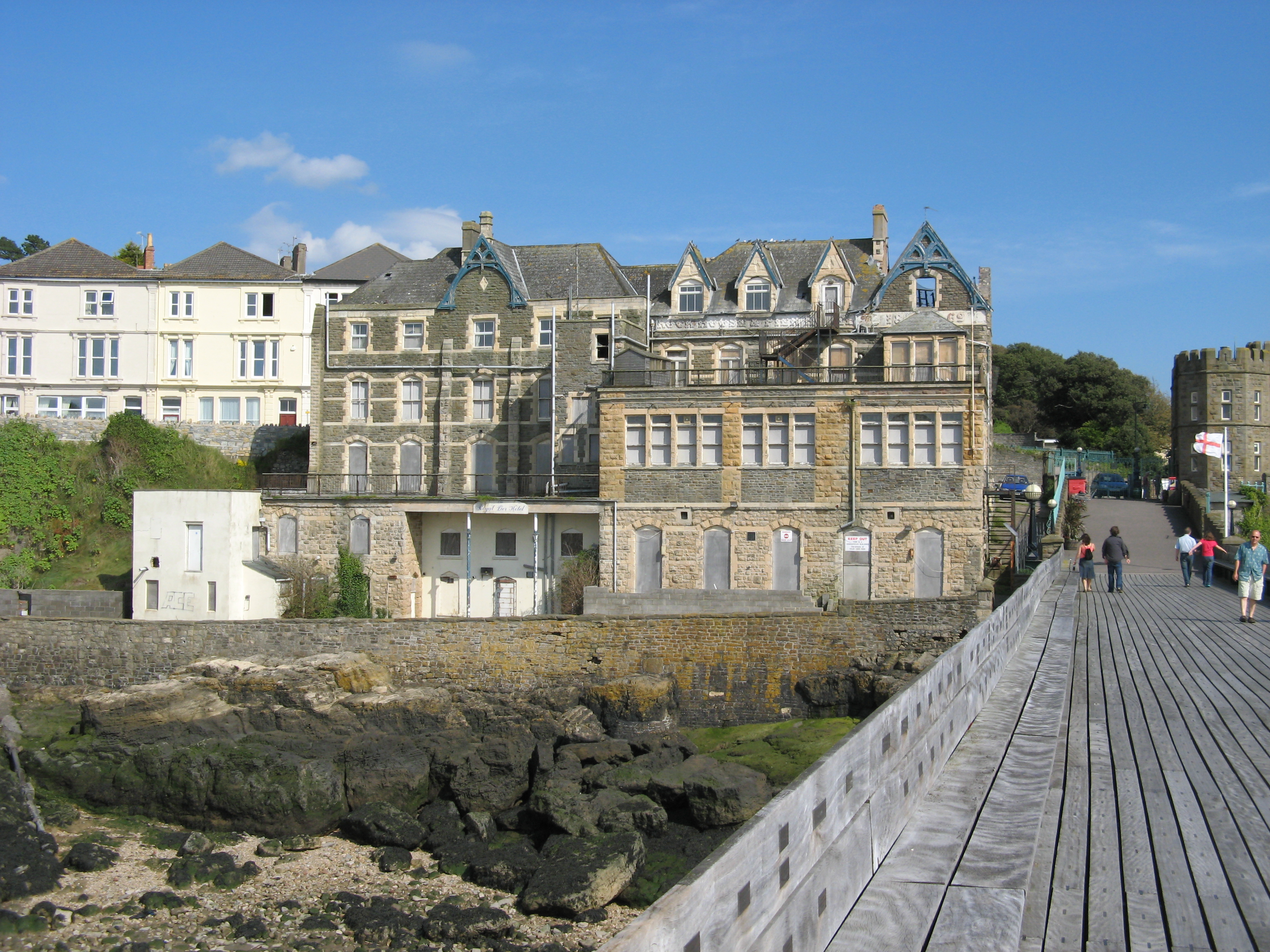
Royal Pier Hotel, Clevedon
The Royal Pier Hotel is a Grade II listed building in Clevedon, England. == History == The Royal Pier Hotel, originally known as the Rock House, was built...
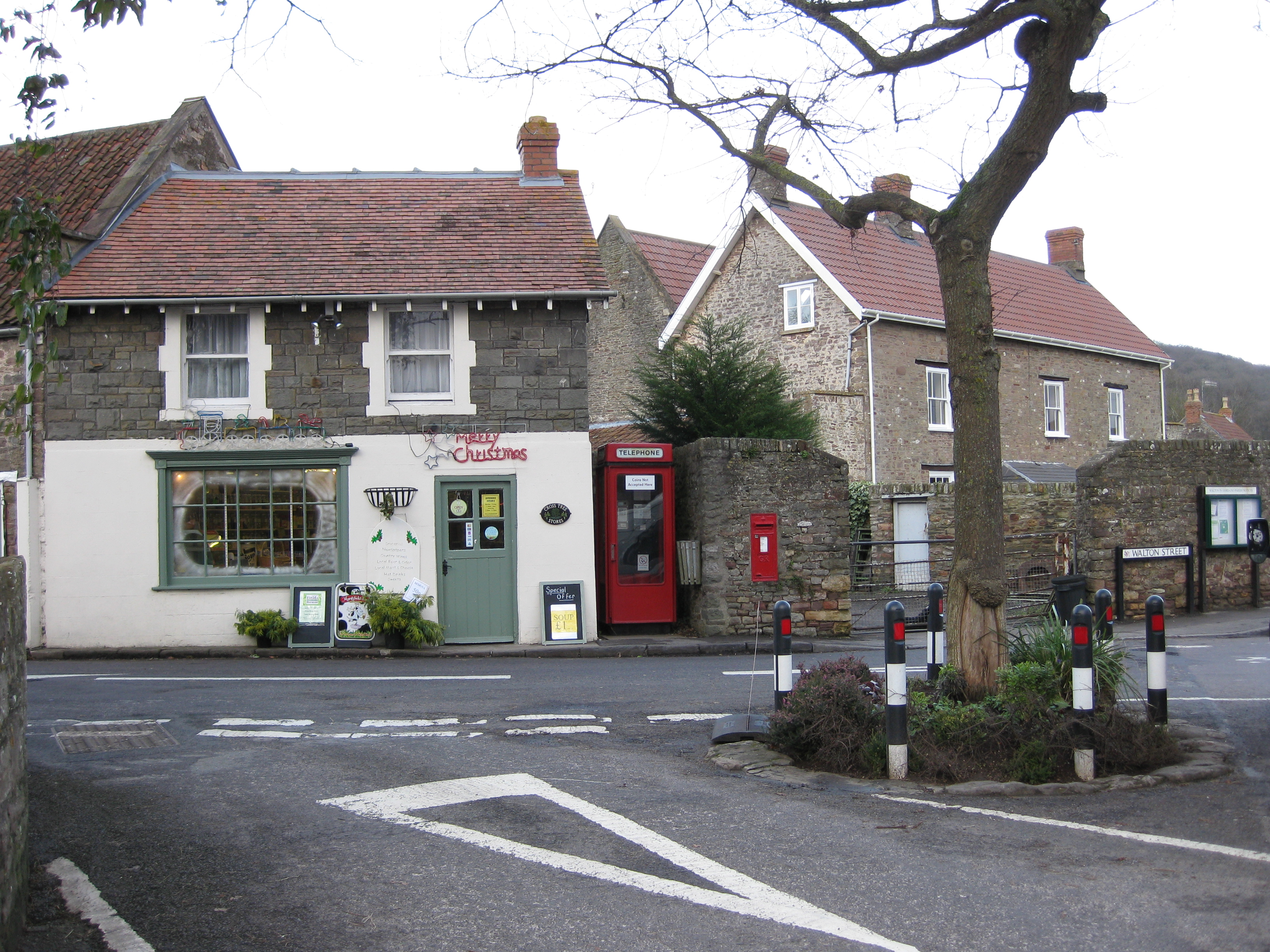
Walton in Gordano
Walton in Gordano is a village and civil parish in North Somerset, England. It is situated in a small valley at the side of the south-western end of the...
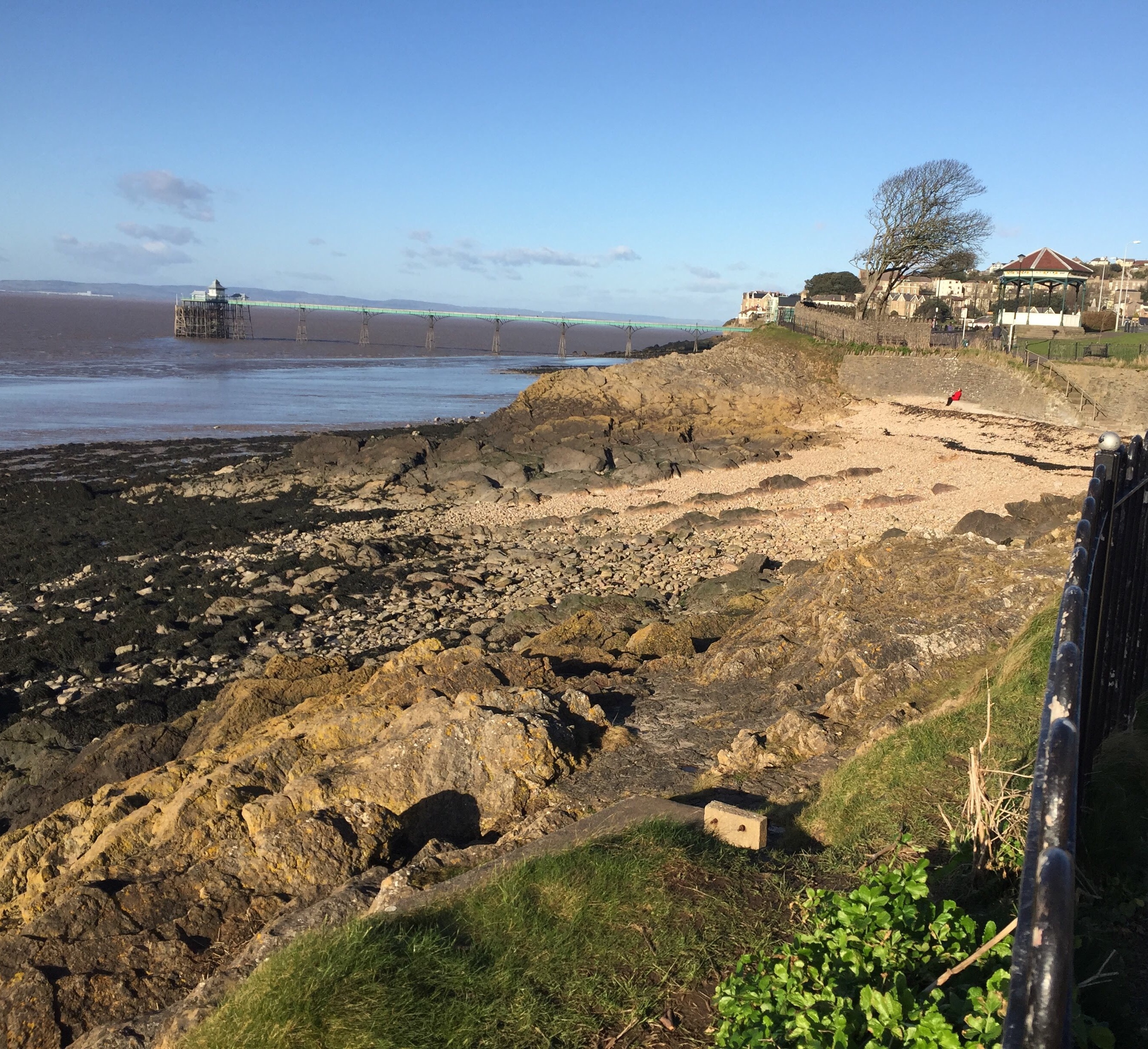
Clevedon Shore
Clevedon Shore (grid reference ST402719) is a 0.38 hectare geological Site of Special Scientific Interest adjacent to the Severn Estuary at Clevedon, North...
All Saints railway station, Clevedon
All Saints railway station served the town of Clevedon, North Somerset, England, from 1917 to 1940 on the Weston, Clevedon and Portishead Railway. ��2...
Nearby Amenities
Located within 500m of 51.454899,-2.8503787Have you been to Backhill Sands?
Leave your review of Backhill Sands below (or comments, questions and feedback).