Back Hill
Hill, Mountain in Somerset
England
Back Hill

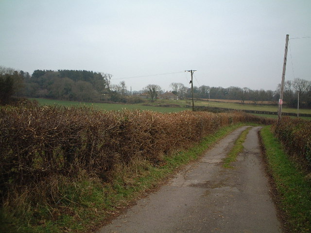
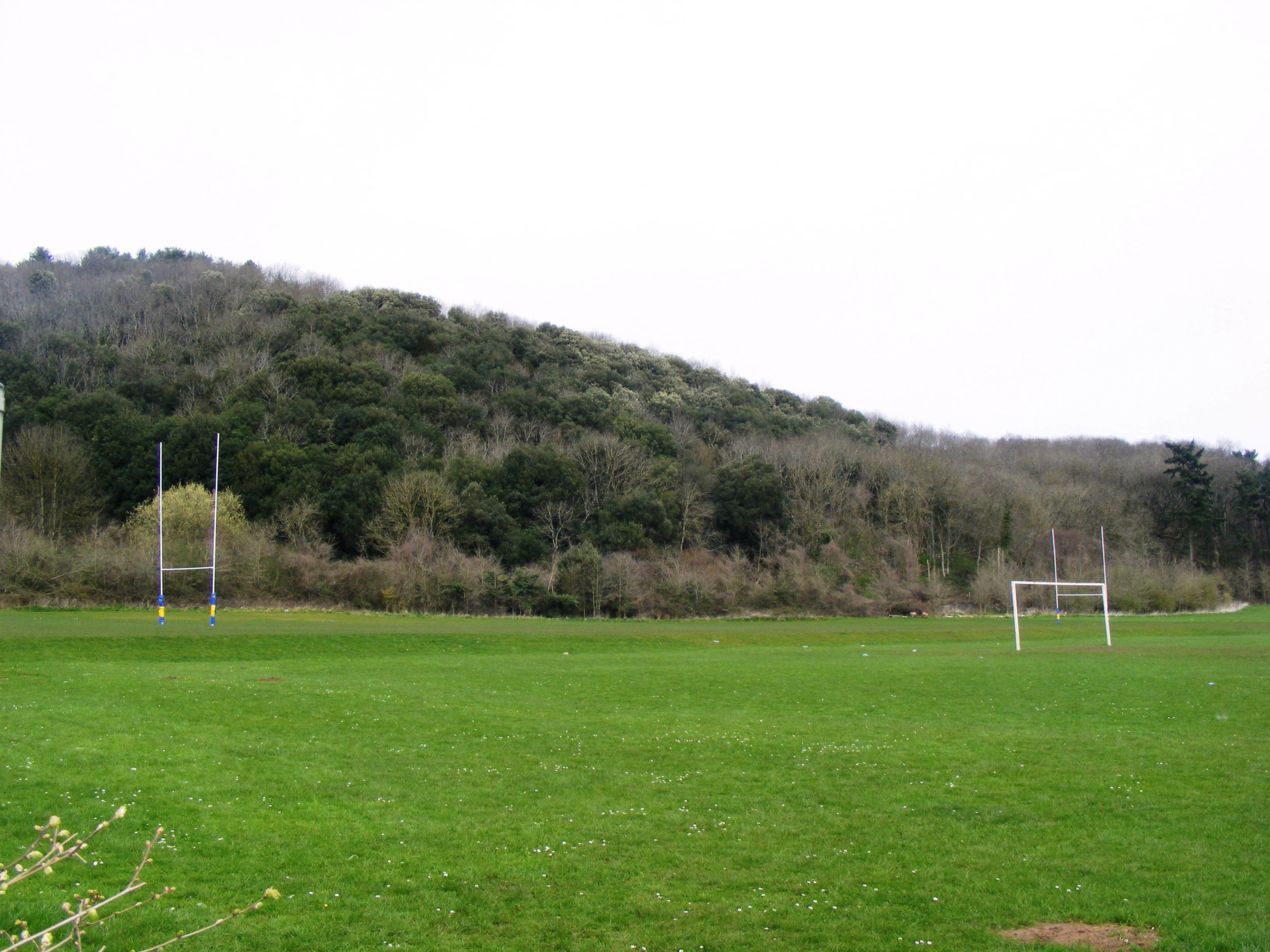
Back Hill is a prominent hill located in the county of Somerset, England. Situated in the Mendip Hills, it is renowned for its scenic beauty and provides breathtaking views of the surrounding countryside. With an elevation of approximately 248 meters (814 feet), it is not considered a mountain but rather a hill, yet its commanding presence is still impressive.
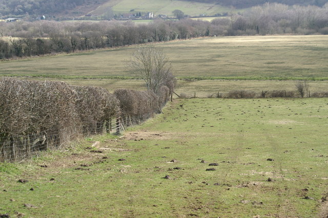
The hill is primarily composed of limestone, a characteristic feature of the Mendip Hills. This geological composition gives rise to the distinctive landscape, characterized by rolling hills, steep slopes, and deep valleys. Back Hill's slopes are covered in lush grasses and occasionally adorned with patches of wildflowers, further enhancing its visual appeal.
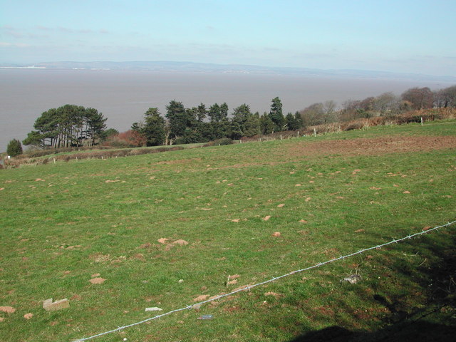
The summit of Back Hill offers panoramic vistas, allowing visitors to admire the picturesque Somerset countryside. On clear days, it is possible to spot notable landmarks such as the nearby Glastonbury Tor and the Bristol Channel in the distance.
Back Hill is a popular destination for outdoor enthusiasts and nature lovers. It provides ample opportunities for hiking, walking, and picnicking. Several well-marked trails crisscross the hill, catering to various levels of difficulty and offering a chance to explore its diverse flora and fauna.
Due to its location within the Mendip Hills Area of Outstanding Natural Beauty, Back Hill is also an important site for wildlife conservation. It supports a rich biodiversity, with numerous species of birds, small mammals, and insects calling it home.
Overall, Back Hill in Somerset is a stunning natural landmark that offers a tranquil escape from the bustle of everyday life. Its captivating beauty and recreational opportunities make it a must-visit destination for those seeking a connection with nature.
If you have any feedback on the listing, please let us know in the comments section below.
Back Hill Images
Images are sourced within 2km of 51.456815/-2.8389864 or Grid Reference ST4173. Thanks to Geograph Open Source API. All images are credited.


Back Hill is located at Grid Ref: ST4173 (Lat: 51.456815, Lng: -2.8389864)
Unitary Authority: North Somerset
Police Authority: Avon and Somerset
What 3 Words
///firm.runs.people. Near Clevedon, Somerset
Nearby Locations
Related Wikis
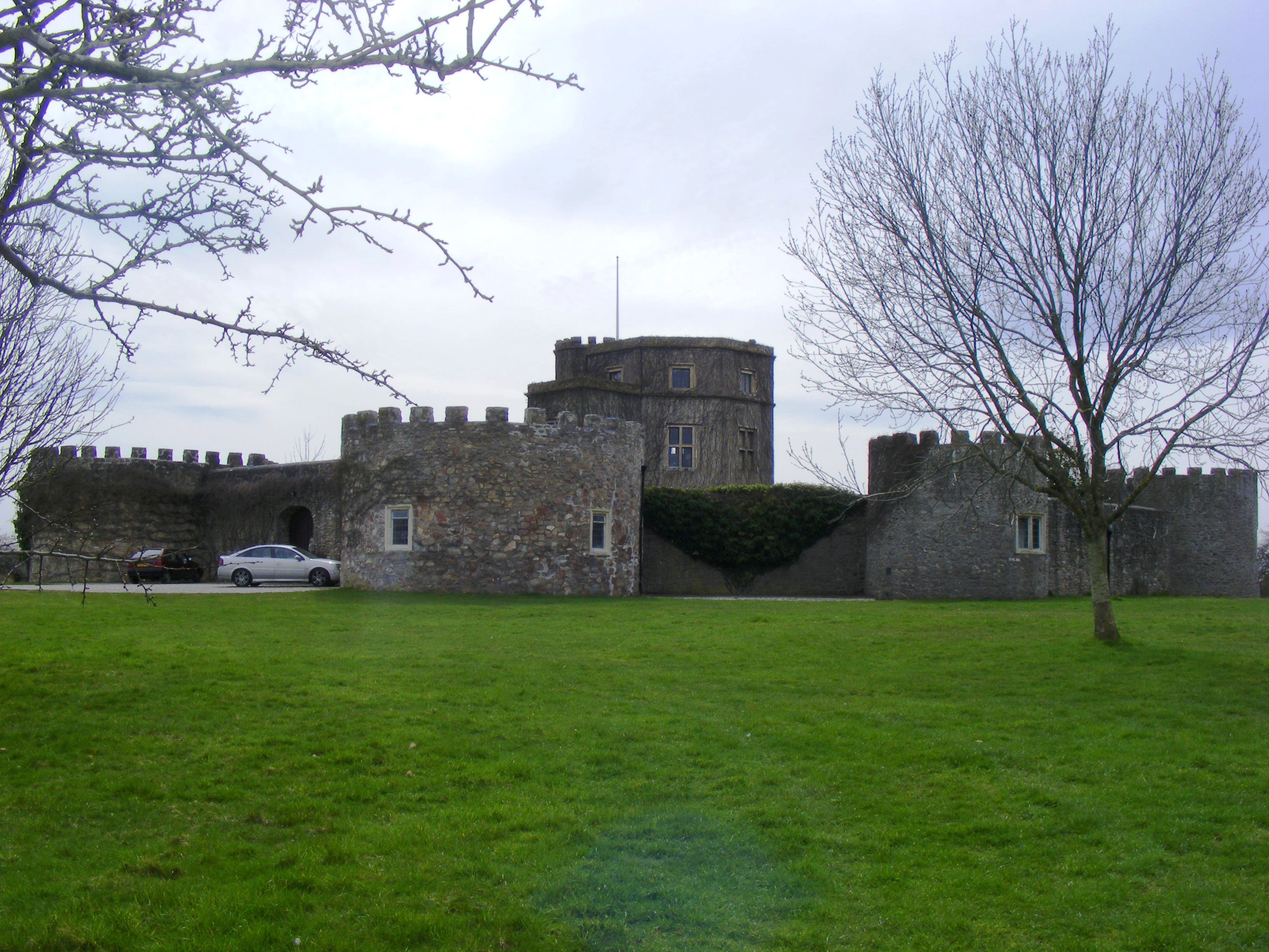
Walton Castle
Walton Castle is a 17th-century, Grade II listed mock castle set upon a hill in Clevedon, North Somerset, England, on the site of an earlier Iron Age hill...
Holly Lane SSSI
Holly Lane SSSI (grid reference ST419727) is a 0.5 hectare geological Site of Special Scientific Interest near the village of Walton St. Mary, North Somerset...
Walton in Gordano
Walton in Gordano is a village and civil parish in North Somerset, England. It is situated in a small valley at the side of the south-western end of the...

Walton in Gordano railway station
Walton in Gordano railway station served the village of Walton in Gordano, North Somerset, England from 1907 to 1940 on the Weston, Clevedon and Portishead...
Related Videos

Hiking From Weston Super Mare to Clevedon (View Of Clevedon Pier Over Looking Towards South Wales)
View Of Clevedon Pier And South Wales In The Distance After 6/7 Hours Of Hiking https://wanderingwonders389.etsy.com.

Clevedon, Bristol:Ultra HD Walking Video of the Picturesque Victorian Coastal Town | ENGLAND
Clevedon, Bristol:Ultra HD Walking Video of the Picturesque Victorian Coastal Town | ENGLAND : Welcome to this walking tour ...


4K Walk Along Clevedon Sea Front. Heading for the lookout.
4K Walk Along Clevedon Sea Front. Heading for the lookout.
Nearby Amenities
Located within 500m of 51.456815,-2.8389864Have you been to Back Hill?
Leave your review of Back Hill below (or comments, questions and feedback).