Rotten Gutter
Beach in Orkney
Scotland
Rotten Gutter

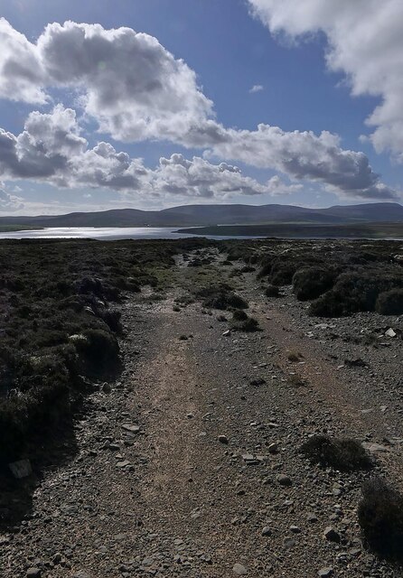
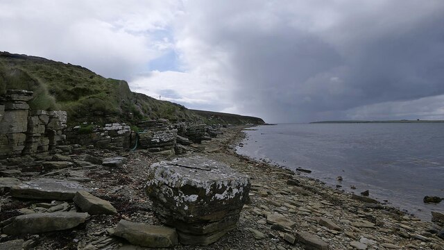
Rotten Gutter, Orkney (Beach) is a stunning coastal location situated in the Orkney Islands, Scotland. This picturesque beach is renowned for its rugged beauty and captivating scenery, attracting tourists and locals alike.
Stretching for about half a mile, Rotten Gutter beach features a combination of soft golden sand and pebbles, offering visitors a unique and diverse landscape to explore. The beach is nestled between towering cliffs, which provide a dramatic backdrop and shelter from the elements.
The crystal-clear waters of the North Sea lap gently against the shore, creating a tranquil and serene atmosphere. The beach is known for its calm and peaceful vibes, making it an ideal spot for relaxation and introspection.
Nature enthusiasts will find themselves in awe of the rich biodiversity that Rotten Gutter beach has to offer. The area is home to various seabirds, including puffins, guillemots, and razorbills, making it a popular destination for birdwatching. In addition, the beach is surrounded by lush greenery, adding to its natural allure.
Visitors can also indulge in various recreational activities at Rotten Gutter, such as walking, hiking, and picnicking. The beach is part of a larger network of coastal paths, providing opportunities for exploration and adventure. The surrounding cliffs offer fantastic viewpoints, allowing visitors to admire the panoramic vistas of the surrounding landscape.
Overall, Rotten Gutter, Orkney (Beach) is a hidden gem that showcases the untamed beauty of Scotland's coastline. Its pristine sands, breathtaking cliffs, and diverse wildlife make it a must-visit destination for nature lovers and those seeking tranquility amidst nature's splendor.
If you have any feedback on the listing, please let us know in the comments section below.
Rotten Gutter Images
Images are sourced within 2km of 58.831356/-3.1460478 or Grid Reference ND3394. Thanks to Geograph Open Source API. All images are credited.


Rotten Gutter is located at Grid Ref: ND3394 (Lat: 58.831356, Lng: -3.1460478)
Unitary Authority: Orkney Islands
Police Authority: Highlands and Islands
What 3 Words
///ramps.parkland.captions. Near Lyness, Orkney Islands
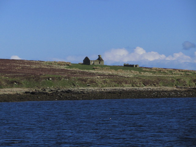
Nearby Locations
Related Wikis
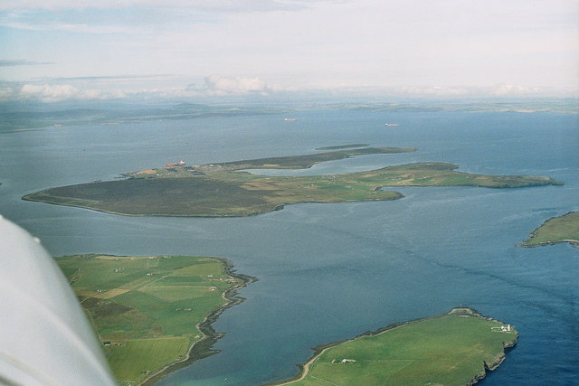
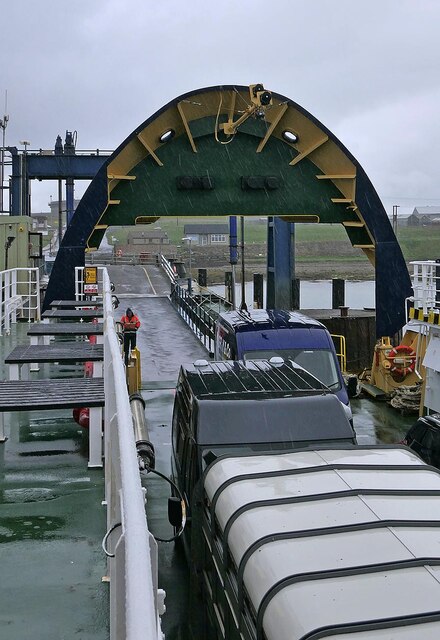
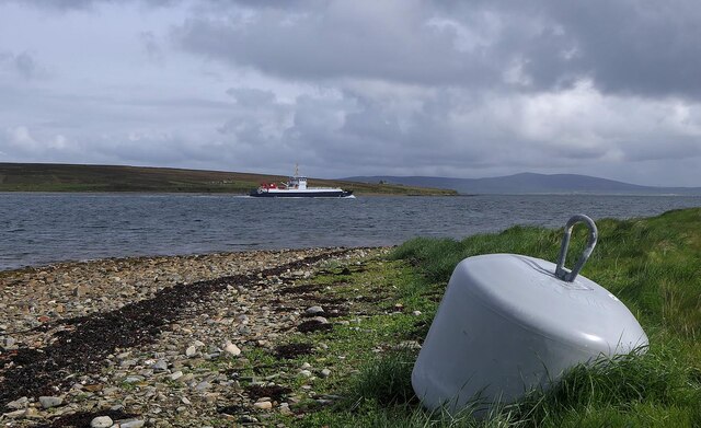
Flotta
Flotta () is a small island in Orkney, Scotland, lying in Scapa Flow. The island is known for its large oil terminal and is linked by Orkney Ferries to...

Crockness Martello tower
Crockness Martello Tower is a Martello Tower on Hoy, Orkney, Scotland. It was built during the Napoleonic Wars, at the same time as the Martello Tower...

Fara, Orkney
Fara (, Old Norse: Færey ) is a small island in Orkney, Scotland, lying in Scapa Flow between the islands of Flotta and Hoy. It has been uninhabited since...

Whome
Whome is the largest settlement on the Orkney island of Flotta, Scotland. The village is situated on the B9046, the main road across Flotta. Views from...

Scapa Flow Museum
Scapa Flow Museum is a war museum in Lyness on the Island of Hoy, Orkney, Scotland. Housed within a refurbished Romney hut and oil fuel pump house at the...

Hackness Martello Tower and Battery
Hackness Martello Tower and Battery is a British Army barracks and museum located on the island of South Walls, in Orkney, Scotland. == History == The...
Gutter Sound
Gutter Sound is a sound in Orkney, Scotland, part of Scapa Flow. It lies to the west of the main harbour between the internal islands of Cava and Fara...

Lyness
Lyness is a village on the east coast of the island of Hoy, Orkney, Scotland. The village is within the parish of Walls and Flotta, and is situated at...
Nearby Amenities
Located within 500m of 58.831356,-3.1460478Have you been to Rotten Gutter?
Leave your review of Rotten Gutter below (or comments, questions and feedback).