The Ayre
Beach in Orkney
Scotland
The Ayre
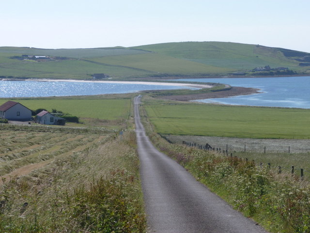
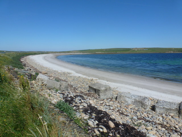
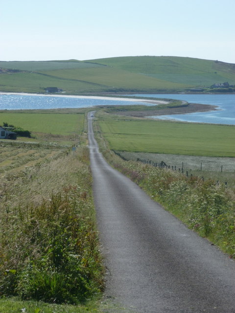
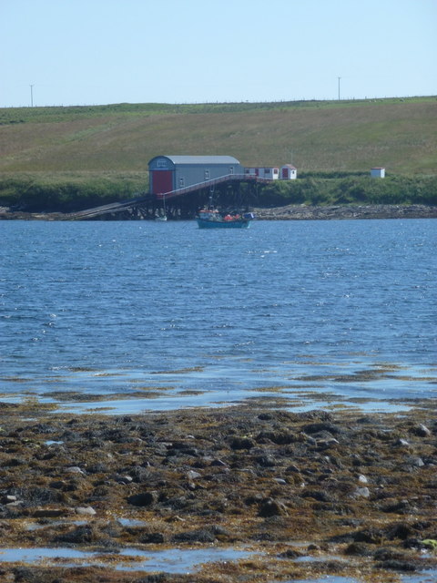
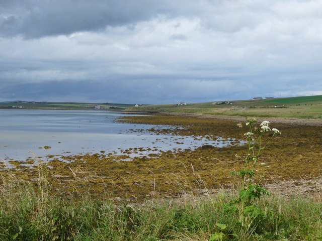
The Ayre is a picturesque beach located in the Orkney Islands, an archipelago off the northeastern coast of Scotland. Stretching for approximately 2.5 kilometers, this sandy beach is situated on the eastern coast of the mainland, near the village of Kirkwall.
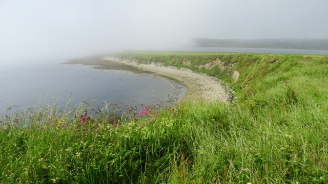
The Ayre is known for its stunning natural beauty and tranquil atmosphere. The soft golden sand, coupled with crystal-clear turquoise waters, creates a mesmerizing sight, making it a popular destination for both locals and tourists alike. The beach is surrounded by rolling sand dunes and grassy banks, providing a peaceful and secluded environment.
The Ayre offers visitors a range of activities and amenities. It is an ideal spot for sunbathing and picnicking, with plenty of space to unwind and enjoy the surrounding scenery. The calm waters also make it a fantastic location for swimming and paddling, particularly during the warmer summer months.
Nature enthusiasts will appreciate the diverse wildlife found in the area. The beach is home to a wide variety of bird species, including oystercatchers, sandpipers, and terns. Seals can often be spotted lounging on the nearby rocks, adding to the charm of the beach.
Access to The Ayre is convenient, with a car park located nearby and a well-maintained footpath leading directly to the beach. The area is also equipped with public toilets and picnic facilities, ensuring visitors' comfort and convenience.
Overall, The Ayre in Orkney offers a serene and picturesque coastal experience, combining natural beauty with a tranquil ambiance, making it a must-visit destination for nature lovers and beach enthusiasts.
If you have any feedback on the listing, please let us know in the comments section below.
The Ayre Images
Images are sourced within 2km of 58.785717/-3.2303664 or Grid Reference ND2889. Thanks to Geograph Open Source API. All images are credited.
![Melsetter Postbox Victorian Postbos at Melsetter on Hoy [KW16 46]](https://s1.geograph.org.uk/geophotos/04/63/86/4638625_d40a729a.jpg)


The Ayre is located at Grid Ref: ND2889 (Lat: 58.785717, Lng: -3.2303664)
Unitary Authority: Orkney Islands
Police Authority: Highlands and Islands
What 3 Words
///enabling.mammoths.shipwreck. Near Lyness, Orkney Islands
Related Wikis

Brims, Orkney
Brims is a village at the southern point of the island of Hoy, in Orkney, Scotland. The settlement is within the parish of Walls and Flotta. The RNLI lifeboat...

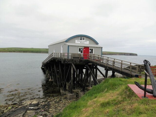
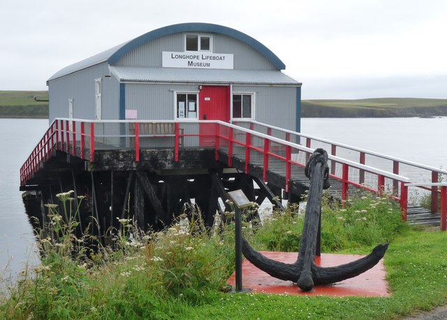
RNLB Thomas McCunn (ON 759)
RNLB Thomas McCunn (ON 759) is a 45ft 6in Watson-class lifeboat stationed at Longhope in Orkney, Scotland, from January 1933 until April 1962. During...

Longhope, Orkney
Longhope is a coastal settlement on the island of South Walls, in Orkney, Scotland. South Walls is linked to Hoy by causeway; Longhope is the largest settlement...

South Walls
South Walls (Scots: Sooth Waas), often referred to as Walls, is an inhabited island adjacent to Hoy in Orkney, Scotland. The name is a corruption of "Sooth...

Hoglinns Water
Hoglinns Water is a small freshwater loch in the south of the island of Hoy, Orkney. It drains in to Heldale Water via Hoglinns Burn. The loch was surveyed...

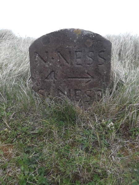
The Needle, Orkney
The Needle is a 70-metre-high (230 ft) sea stack on the island of Hoy, in Orkney, Scotland. It is located on the southwest coast of Hoy at ND243902. There...

Lyness
Lyness is a village on the east coast of the island of Hoy, Orkney, Scotland. The village is within the parish of Walls and Flotta, and is situated at...
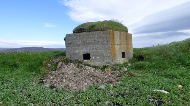
Hackness Martello Tower and Battery
Hackness Martello Tower and Battery is a British Army barracks and museum located on the island of South Walls, in Orkney, Scotland. == History == The...
Nearby Amenities
Located within 500m of 58.785717,-3.2303664Have you been to The Ayre?
Leave your review of The Ayre below (or comments, questions and feedback).