Ainsdale Sands

Beach in Lancashire

England

Ainsdale Sands

Ex Toad Hall nightclub Sefton Council commissioned street artist Paul Curtis to create a mural featuring the local sand lizard
Ex Toad Hall nightclub Credit: Norman Caesar

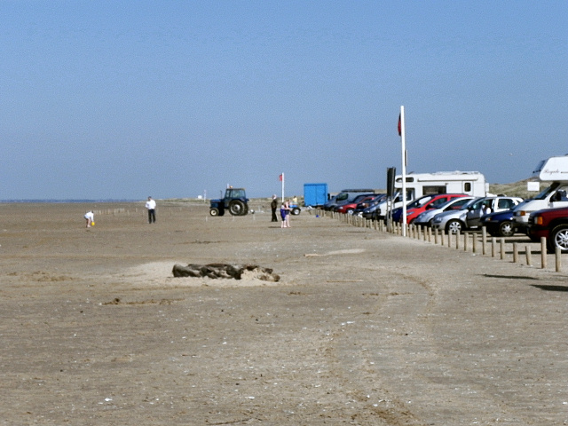
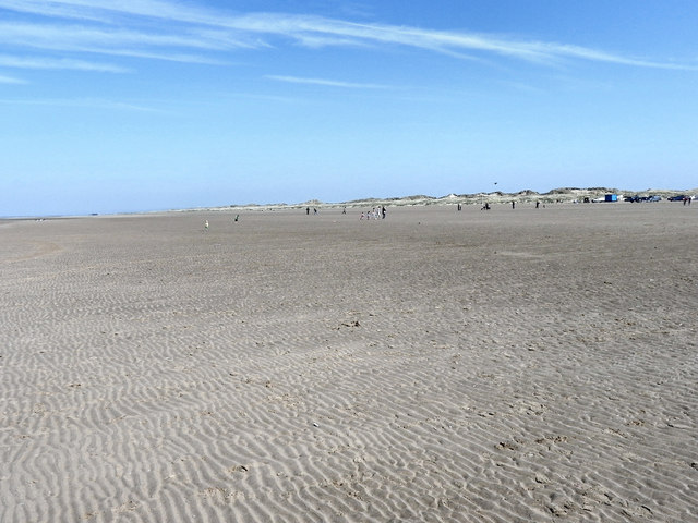
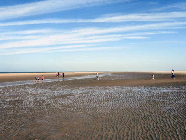
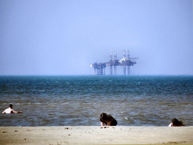
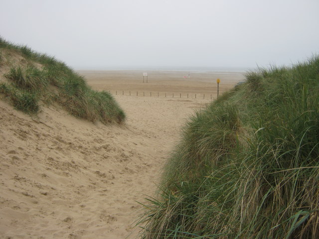
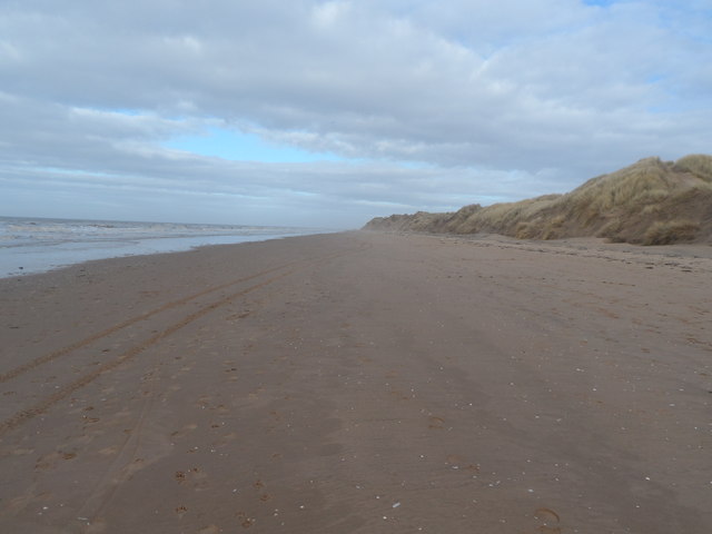
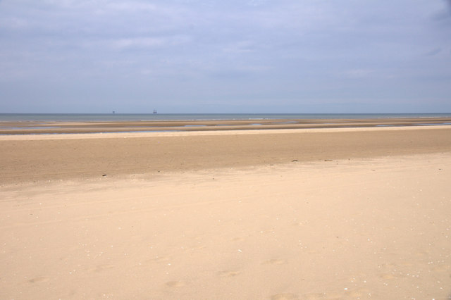
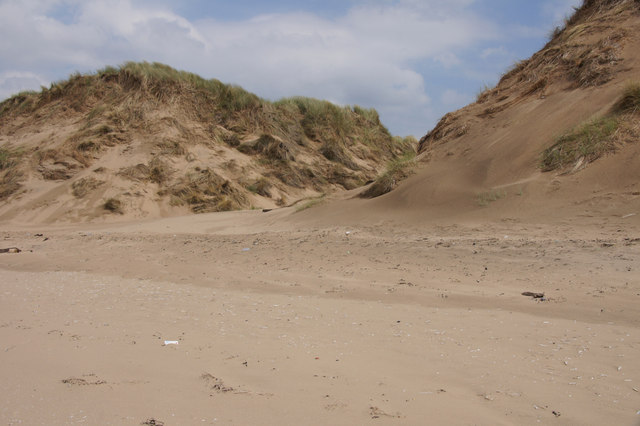
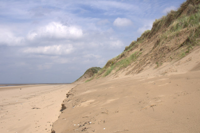
Ainsdale Sands is a stunning beach located in the town of Ainsdale, within the Sefton borough of Lancashire, England. With its expansive sandy shoreline stretching for miles, this beach offers visitors a picturesque and serene natural setting. Ainsdale Sands is situated on the Irish Sea coast, making it a popular destination for locals and tourists alike.

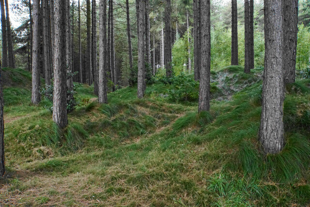
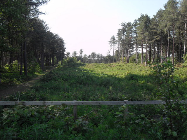
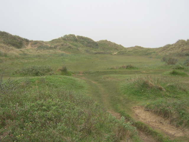
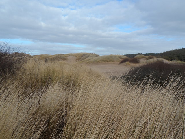
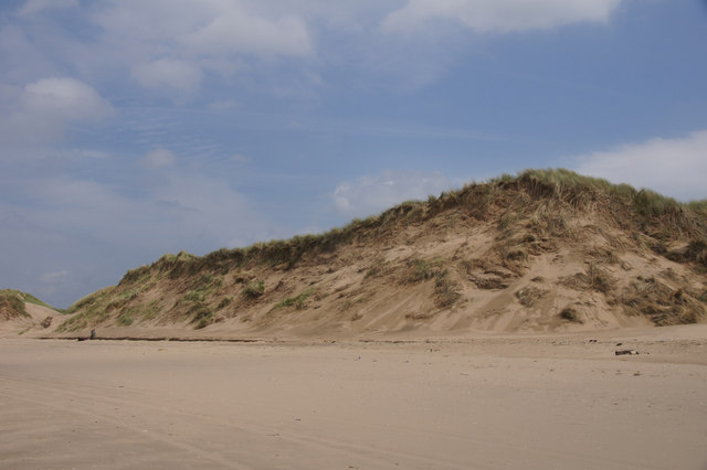
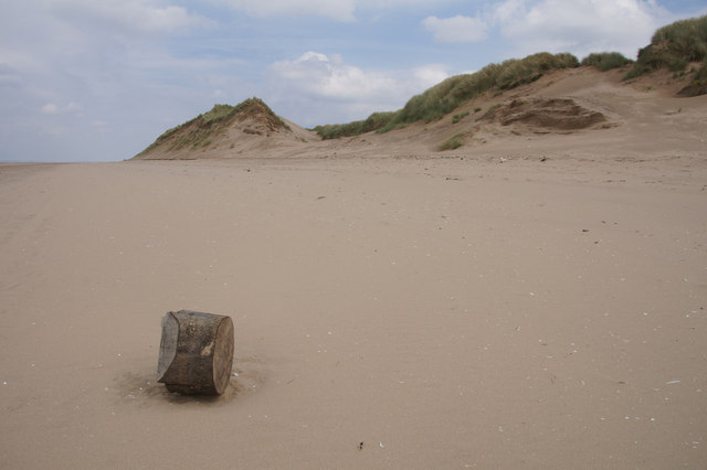
The beach is known for its beautiful dunes, which are a designated nature reserve. These dunes provide a habitat for various plant and animal species, making it an ideal spot for nature enthusiasts. Visitors can explore the dunes and enjoy the breathtaking views they offer.

Ainsdale Sands is also renowned for its wide range of recreational activities. The beach is perfect for swimming, sunbathing, and picnicking, with ample space for families and groups to relax and enjoy the surroundings. Lifeguards are present during the summer months to ensure the safety of swimmers.

Additionally, Ainsdale Sands is a popular destination for water sports enthusiasts. Windsurfing, kiteboarding, and paddleboarding are all common activities enjoyed here, thanks to the strong sea breezes and calm waters.

Facilities at Ainsdale Sands include car parking, public toilets, and a nearby café for refreshments. The beach is easily accessible, with a train station located in close proximity, providing convenient transportation options for visitors.

Overall, Ainsdale Sands is a picturesque and versatile beach, offering a perfect blend of natural beauty, recreational activities, and amenities, making it a must-visit destination for beach lovers and outdoor enthusiasts.

If you have any feedback on the listing, please let us know in the comments section below.

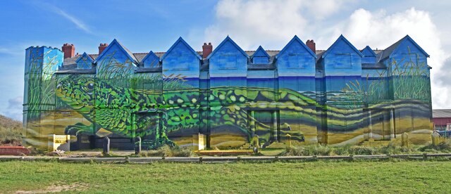
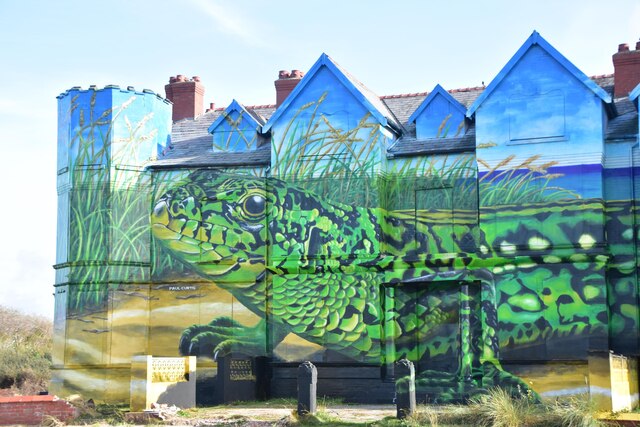
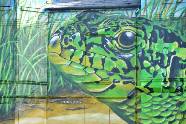
Ainsdale Sands Images

Images are sourced within 2km of 53.598629/-3.0806025 or Grid Reference SD2811. Thanks to Geograph Open Source API. All images are credited.

Ex Toad Hall nightclub Sefton Council commissioned street artist Paul Curtis to create a mural featuring the local sand lizard
Ex Toad Hall nightclub
Sefton Council commissioned street artist Paul Curtis to create a mural featuring the local sand lizard
Ex Toad Hall nightclub detail Sefton Council commissioned street artist Paul Curtis to create a mural featuring the local sand lizard
Ex Toad Hall nightclub detail
Sefton Council commissioned street artist Paul Curtis to create a mural featuring the local sand lizard
Ex Toad Hall nightclub detail Sefton Council commissioned street artist Paul Curtis to create a mural featuring the local sand lizard
Ex Toad Hall nightclub detail
Sefton Council commissioned street artist Paul Curtis to create a mural featuring the local sand lizard
Pine-covered dunes Part of the Ainsdale Sand Dunes National Nature Reserve.
Pine-covered dunes
Part of the Ainsdale Sand Dunes National Nature Reserve.
Ainsdale Beach Car Park
Ainsdale Beach
Ainsdale Beach
Ainsdale Sands
Ainsdale Sands
The Irish Sea From Ainsdale Sands Looking out across the Irish Sea from Ainsdale Sands. A drilling rig is in the distance.
The Irish Sea From Ainsdale Sands
Looking out across the Irish Sea from Ainsdale Sands. A drilling rig is in the distance.
Ainsdale Nature Reserve
Path to Beach from Ainsdale Discovery Centre
Path in Ainsdale Hills
Ainsdale Sand Dunes National Nature Reserve Ainsdale Sand Dunes NNR forms part of the Sefton Coast - the finest dune system on the north-west coast of England. The area is part of a Ramsar site and part of the Sefton Coast Special Area of Conservation (SAC).

The dunes are home to over 450 plant species including 33 that are locally or regionally rare like petalwort, seaside centaury, yellow bartsia, round-leaved wintergreen, dune helleborine and pendulous flowered helleborine. 
Fauna: Sand lizards and great-crested newts are found here together with a large population of natterjack toads. Inland, areas of pine woodland are home to red squirrels.
Ainsdale Sand Dunes National Nature Reserve
Ainsdale Sand Dunes NNR forms part of the Sefton Coast - the finest dune system on the north-west coast of England. The area is part of a Ramsar site and part of the Sefton Coast Special Area of Conservation (SAC). The dunes are home to over 450 plant species including 33 that are locally or regionally rare like petalwort, seaside centaury, yellow bartsia, round-leaved wintergreen, dune helleborine and pendulous flowered helleborine. Fauna: Sand lizards and great-crested newts are found here together with a large population of natterjack toads. Inland, areas of pine woodland are home to red squirrels.
Ainsdale Sands
Ainsdale Sands
Dunes north of the Fisherman's Path, Freshfield Photographer's position confirmed by GPS, so it can be seen how far the coastline has receded compared to the mapping available in 2013.
Dunes north of the Fisherman's Path, Freshfield
Photographer's position confirmed by GPS, so it can be seen how far the coastline has receded compared to the mapping available in 2013.
Beach north of the Fisherman's Path, Freshfield Position confirmed by GPS, showing how much the coastline has receded compared to the mapping available in 2013.
Beach north of the Fisherman's Path, Freshfield
Position confirmed by GPS, showing how much the coastline has receded compared to the mapping available in 2013.
View north-west from grid intersection on the beach north of the Fisherman's Path, Freshfield On the mapping available in 2013, this position would have been on the inner side of the foredunes, whereas it is now on the beach.
View north-west from grid intersection on the beach north of the Fisherman's Path, Freshfield
On the mapping available in 2013, this position would have been on the inner side of the foredunes, whereas it is now on the beach.
View north-east from grid intersection on the beach north of the Fisherman's Path, Freshfield On the mapping available in 2013, this position would have been on the inner side of the foredunes, whereas it is now on the beach.
View north-east from grid intersection on the beach north of the Fisherman's Path, Freshfield
On the mapping available in 2013, this position would have been on the inner side of the foredunes, whereas it is now on the beach.
High tide mark along the beach north of the Fisherman's Path, Freshfield Position confirmed by GPS.
High tide mark along the beach north of the Fisherman's Path, Freshfield
Position confirmed by GPS.
Show me another place!

Ainsdale Sands is located at Grid Ref: SD2811 (Lat: 53.598629, Lng: -3.0806025)

Unitary Authority: Sefton

Police Authority: Merseyside

What 3 Words

///defrost.evidence.neckline. Near Formby, Merseyside

Nearby Locations

Ainsdale Sands

Related Wikis

Ainsdale Beach railway station

Ainsdale Beach was a railway station located in Ainsdale, Merseyside, England. == History == The Southport & Cheshire Lines Extension Railway (SCLER) opened...

Sefton Coast

Sefton Coast is a 4605.3 hectare (11379.9 acre) Site of special scientific interest which stretches for 12 miles (20 km) between Southport and Waterloo...
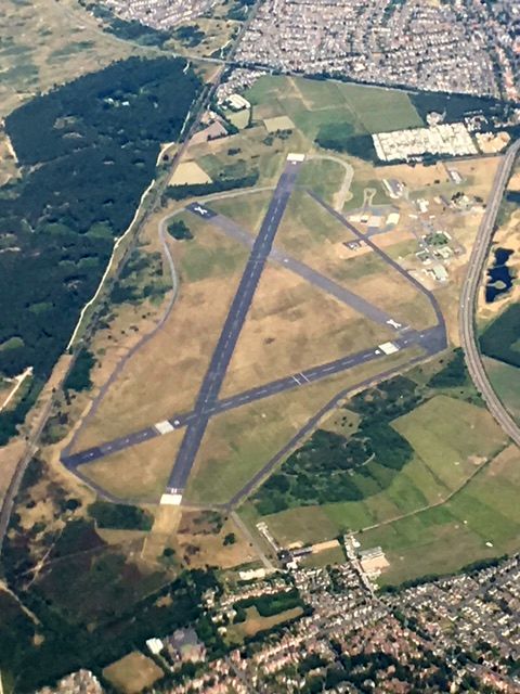
RAF Woodvale

Royal Air Force Woodvale or more simply RAF Woodvale (ICAO: EGOW) is a Royal Air Force Station located 4 mi (6.4 km) next to the towns of Formby and Ainsdale...

Ainsdale railway station

Ainsdale railway station serves the village of Ainsdale near Southport, England. The station is located on the Southport branch of the Merseyrail network...

Related Videos

Pontins Southport Holiday Park - Staycation Review

PLEASE NOTE THIS VIDEO WAS SHOT PRE COVID19! Southport is famous for its award winning beaches and rolling sand ...

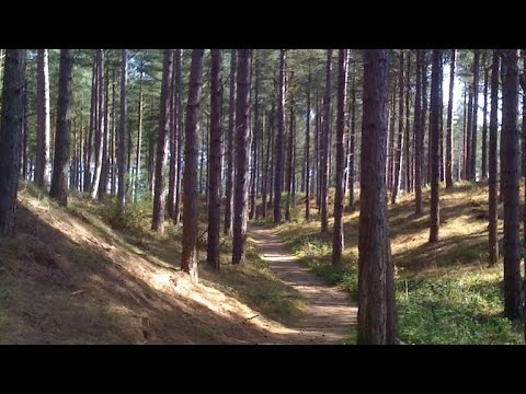
Ainsdale Nature Reserve, Merseyside. 07/08/2023

Eva~Greene & Milo are once again joined by their little friend Lucas. This time, for some exploring of Ainsdale Nature Reserve.

Nearby Amenities

Located within 500m of 53.598629,-3.0806025
Source: PGS
Lat/Long: 53.5989929/-3.0730633
Source: PGS
Lat/Long: 53.5958509/-3.0762769
The data included in this document is from www.openstreetmap.org. The data is made available under ODbL.

Have you been to Ainsdale Sands?

Leave your review of Ainsdale Sands below (or comments, questions and feedback).