Llanbedr-y-cennin

Settlement in Caernarfonshire

Wales

Llanbedr-y-cennin

Single track road near Rowlyn Isa We were held up here by a van in a ditch so took the opportunity to take the above photograph.
Single track road near Rowlyn Isa Credit: Colin Kinnear

The requested URL returned error: 429 Too Many Requests

If you have any feedback on the listing, please let us know in the comments section below.

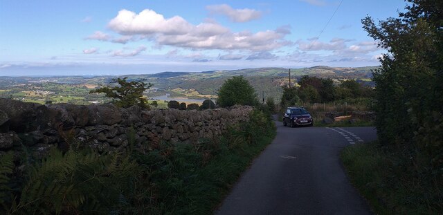
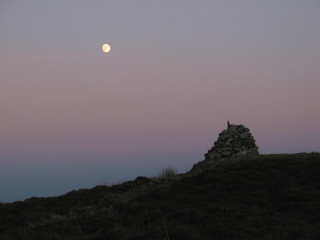
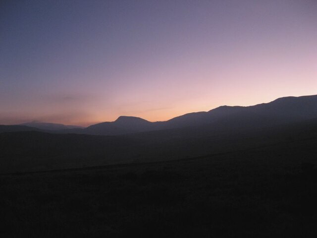
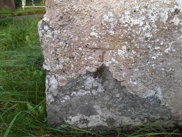
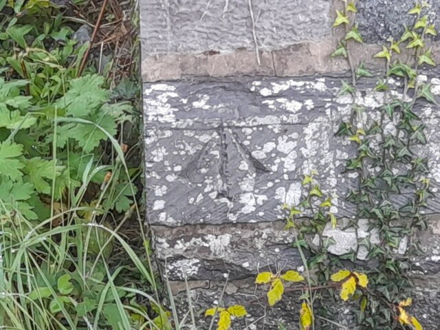
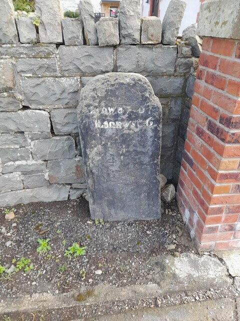
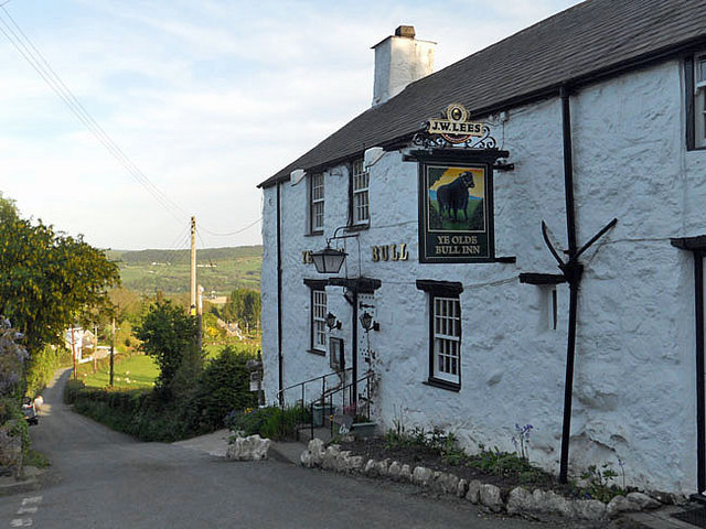
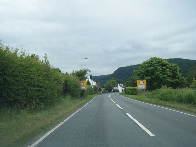
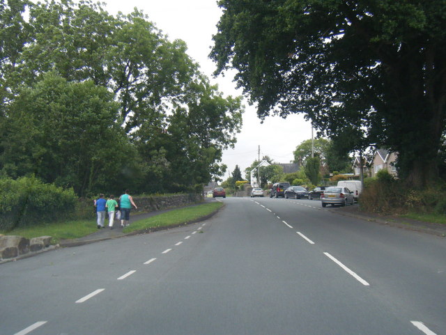
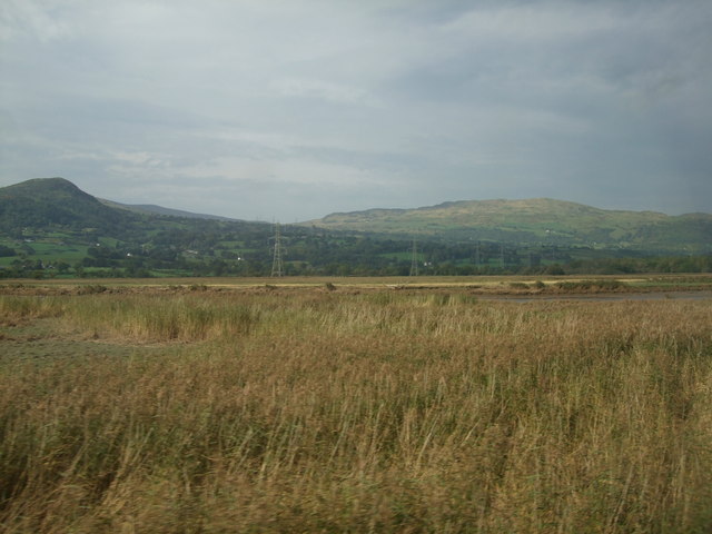
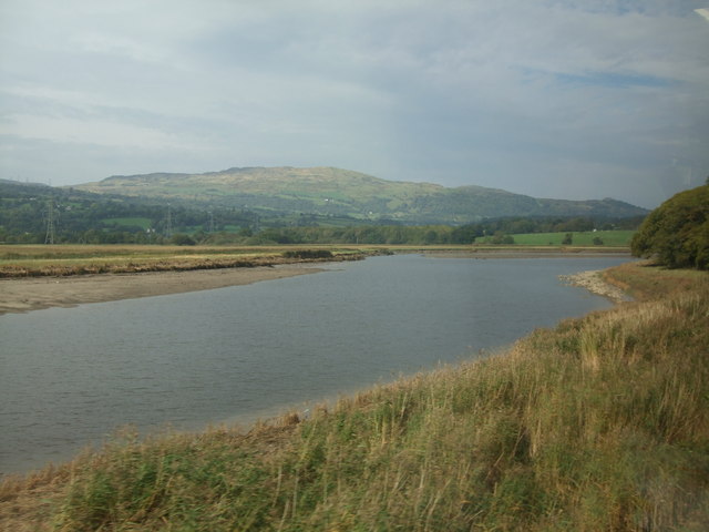
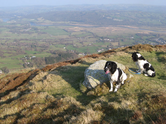
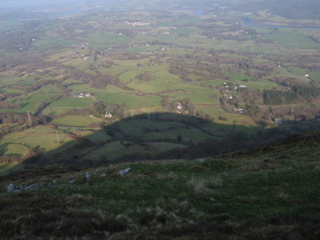
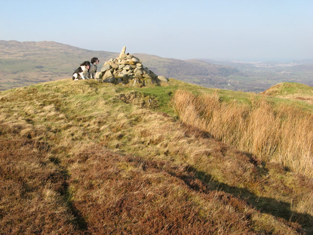
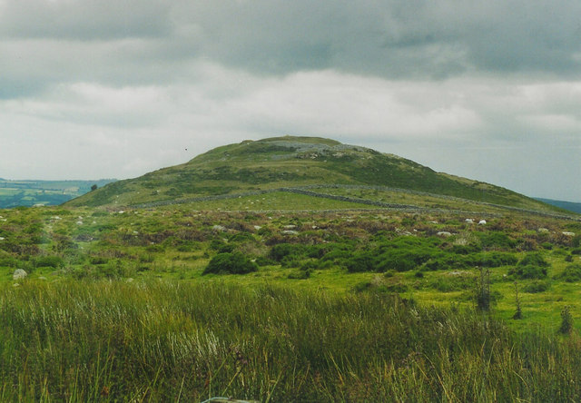
Llanbedr-y-cennin Images

Images are sourced within 2km of 53.208375/-3.85445 or Grid Reference SH7669. Thanks to Geograph Open Source API. All images are credited.

Single track road near Rowlyn Isa We were held up here by a van in a ditch so took the opportunity to take the above photograph.
Single track road near Rowlyn Isa
We were held up here by a van in a ditch so took the opportunity to take the above photograph.
Pen-y-gaer cairn The moon is almost full in this early-evening view of the summit of this fine and atmospheric hill. I feel a shiver of connection with the Celtic originators of such defensive sites at times like the full moon or solstice. The cairn is an abomination, really, but people have their own way of celebrating the location.
Pen-y-gaer cairn
The moon is almost full in this early-evening view of the summit of this fine and atmospheric hill. I feel a shiver of connection with the Celtic originators of such defensive sites at times like the full moon or solstice. The cairn is an abomination, really, but people have their own way of celebrating the location.
Mountain horizon Sunset over the Carneddau, with the prominent peak of Pen Llithrig y Wrach. It is a rare thing nowadays to be without any intrusion of artificial light.
Mountain horizon
Sunset over the Carneddau, with the prominent peak of Pen Llithrig y Wrach. It is a rare thing nowadays to be without any intrusion of artificial light.
Bwlch-y-gaer nightfall 1 Night falling by the ruined farmstead. Venus is just visible towards the left of the image.
Bwlch-y-gaer nightfall 1
Night falling by the ruined farmstead. Venus is just visible towards the left of the image.
Bwlch-y-gaer nightfall 2 Night falling by the ruined farmstead. Venus is just visible towards the left of the image.
Bwlch-y-gaer nightfall 2
Night falling by the ruined farmstead. Venus is just visible towards the left of the image.
Level crossing near Tal-y-Cafn
Ordnance Survey Cut Mark Only the lower tip of the middle part of the arrow of this OS cut mark remains on the SE angle of St Peter's Church. It marked a point 77.060m above mean sea level.
Ordnance Survey Cut Mark
Only the lower tip of the middle part of the arrow of this OS cut mark remains on the SE angle of St Peter's Church. It marked a point 77.060m above mean sea level.
Ordnance Survey Pivot This OS pivot can be found on the west angle of the Salem Chapel. It marks a point 42.599 above mean sea level.
Ordnance Survey Pivot
This OS pivot can be found on the west angle of the Salem Chapel. It marks a point 42.599 above mean sea level.
Milestone - Conwy 6
Milestone - Conwy 6
Witch's brooms A fabulous birch tree silhouette featuring abundant Witch's brooms - growths induced by fungal parasites. Trees are so much more interesting in winter, when you can see their structure properly.
Witch's brooms
A fabulous birch tree silhouette featuring abundant Witch's brooms - growths induced by fungal parasites. Trees are so much more interesting in winter, when you can see their structure properly.
Ye Olde Bull Inn at Llanbedr-y-Cennin
Tal-y-Bont village entrance signs
Conway Road looking south
View towards Tal y Fan As taken from a speeding train.
View towards Tal y Fan
As taken from a speeding train.
A bend in the River Conwy As viewed from a train heading towards Llandudno, near Coed y Borthol, which is to the right off screen. Tal y Fan is in the background.
A bend in the River Conwy
As viewed from a train heading towards Llandudno, near Coed y Borthol, which is to the right off screen. Tal y Fan is in the background.
Pen-y-gaer east rampart The superb 1st millennium BC hill-fort sits on a prominent hill at the side of the Conwy Valley. The steep hillside only required a little excavation to complete a formidable defence, but it is very difficult to image. The descent to the valley can be appreciated very well, however.
Pen-y-gaer east rampart
The superb 1st millennium BC hill-fort sits on a prominent hill at the side of the Conwy Valley. The steep hillside only required a little excavation to complete a formidable defence, but it is very difficult to image. The descent to the valley can be appreciated very well, however.
Shadow in the valley Although it was a beautiful day for early March, the sun was not high in the sky at 15:15h, so the hill throws a magnificent shadow into the valley.
Shadow in the valley
Although it was a beautiful day for early March, the sun was not high in the sky at 15:15h, so the hill throws a magnificent shadow into the valley.
Summit cairn A cairn within the ramparts of Pen-y-gaer hill fort. My map shows a trig point here, but it is obviously disused. The summit of Tal-y-Fan <a href="https://www.geograph.org.uk/gridref/SH7372">SH7372</a> and the coastal settlements near Conwy can be seen in the distance despite the haze.
Summit cairn
A cairn within the ramparts of Pen-y-gaer hill fort. My map shows a trig point here, but it is obviously disused. The summit of Tal-y-Fan SH7372 and the coastal settlements near Conwy can be seen in the distance despite the haze.
Show me another place!

Llanbedr-y-cennin is located at Grid Ref: SH7669 (Lat: 53.208375, Lng: -3.85445)

Unitary Authority: Conwy

Police Authority: North Wales

Also known as: Llanbedrycennin

What 3 Words

///stocks.obtain.formed. Near Llansantffraid Glan Conwy, Conwy

Related Wikis

Llanbedr-y-Cennin

Llanbedr-y-Cennin is a small village in Conwy county borough, Wales, in the community of Caerhun. It lies in the foothills on the western side of the Conwy...

Tal-y-bont, Conwy

Tal-y-Bont is a small village in Conwy County Borough, Wales and lies in the Conwy Valley, west of the River Conwy, on the B5106 road, 6 mi (9.7 km) from...

Pen y Gaer

Pen y Gaer (or Pen-y-gaer) is the location of a Bronze Age and Iron Age hillfort near the village of Llanbedr-y-Cennin in the Conwy valley, Wales. A natural...

Afon Dulyn

Afon Dulyn (English : River Dulyn) is the outflow from Llyn Dulyn, a lake in the Carneddau mountains in north-west Wales. It is a tributary of the river...

Nearby Amenities

Located within 500m of 53.208375,-3.85445
Power: pole
Lat/Long: 53.2060429/-3.8604851
Power: tower
Lat/Long: 53.205795/-3.8582674
Power: tower
Lat/Long: 53.2066851/-3.8595249
Power: pole
Lat/Long: 53.2049054/-3.8590613
Llanbedr-y-cennin
Place: village
Wikidata: Q6661098
Lat/Long: 53.2082635/-3.8579494
Pub
Ye Olde Bull Inn
Addr Postcode: LL32 8JB
Fhrs Id: 374193
Wikidata: Q29483095
Lat/Long: 53.2080896/-3.8570774
Barrier: stile
Stile: stepover
Lat/Long: 53.2072169/-3.8484536
Barrier: stile
Stile: ladder
Lat/Long: 53.2111651/-3.8522388
Barrier: stile
Stile: stepover
Lat/Long: 53.2074072/-3.849538
Barrier: stile
Stile: ladder
Lat/Long: 53.2076506/-3.8473914
Power: pole
Lat/Long: 53.2080164/-3.8494929
Power: pole
Lat/Long: 53.2076341/-3.8497611
Power: pole
Lat/Long: 53.2074349/-3.8500132
Power: pole
Lat/Long: 53.2067313/-3.8509413
Power: pole
Lat/Long: 53.206206/-3.8514241
Power: pole
Lat/Long: 53.2087457/-3.8490021
Power: pole
Lat/Long: 53.2101714/-3.848048
Power: pole
Lat/Long: 53.2094891/-3.8485036
Power: pole
Lat/Long: 53.2076261/-3.8535162
Power: pole
Lat/Long: 53.2071878/-3.8523982
Power: pole
Lat/Long: 53.2066375/-3.8510607
Power: pole
Lat/Long: 53.2079036/-3.8541484
Power: pole
Lat/Long: 53.2083237/-3.8551628
Power: pole
Lat/Long: 53.2087571/-3.8562137
Post Box
Collection Times: Mo-Fr 16:45; Sa 11:30
Operator: Royal Mail
Post Box Mounting: rendered_wall
Post Box Type: wall
Ref: LL32 9
Royal Cypher: GVIR
Royal Cypher Wikidata: Q33102169
Lat/Long: 53.2075559/-3.8547514
Direction: WSW
Generator Method: photovoltaic
Generator Output Electricity: yes
Generator Solar Modules: 3
Generator Source: solar
Generator Type: solar_photovoltaic_panel
Location: roof
Power: generator
Lat/Long: 53.2083462/-3.8569549
Direction: WSW
Generator Method: photovoltaic
Generator Output Electricity: yes
Generator Solar Modules: 3
Generator Source: solar
Generator Type: solar_photovoltaic_panel
Location: roof
Power: generator
Lat/Long: 53.2083731/-3.8569737
Barrier: kissing_gate
Lat/Long: 53.206633/-3.8535337
Barrier: stile
Lat/Long: 53.2060524/-3.8537342
Barrier: stile
Lat/Long: 53.2046992/-3.8549486
Barrier: stile
Lat/Long: 53.2048269/-3.8560912
Barrier: stile
Lat/Long: 53.2057667/-3.8591226
The data included in this document is from www.openstreetmap.org. The data is made available under ODbL.

Have you been to Llanbedr-y-cennin?

Leave your review of Llanbedr-y-cennin below (or comments, questions and feedback).