North Sands
Beach in Devon South Hams
England
North Sands
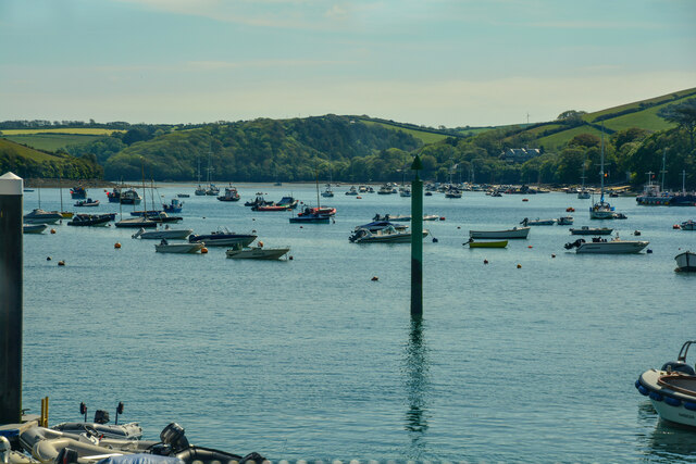
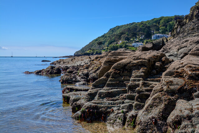
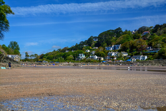
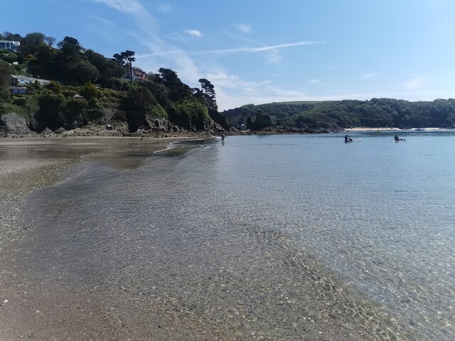
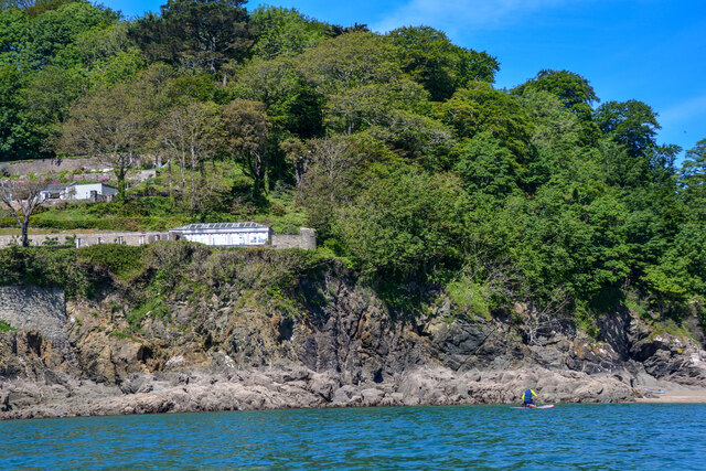
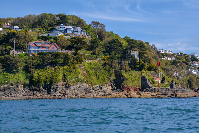
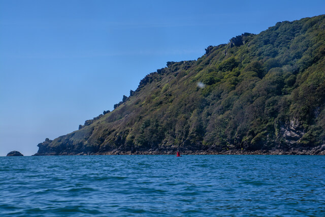
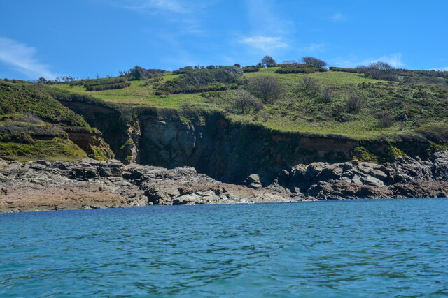
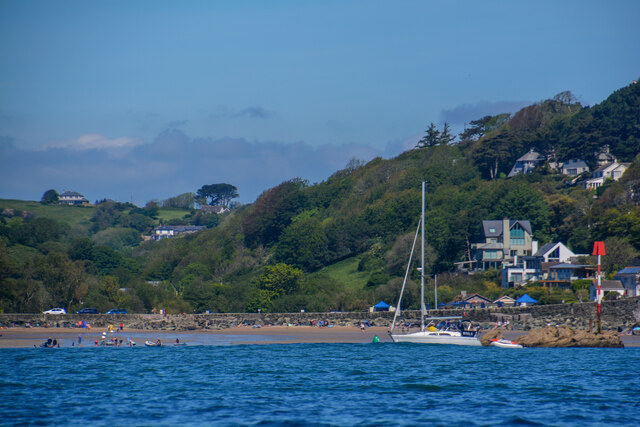
North Sands is a picturesque sandy beach located in Salcombe, Devon. It is a popular destination for visitors seeking a relaxing day by the sea. The beach is surrounded by lush green hills and offers stunning views of the Salcombe Estuary and the surrounding countryside.
North Sands is relatively sheltered, making it an ideal spot for families with young children to enjoy a day at the beach. The calm waters are perfect for swimming and paddling, and there are also opportunities for water sports such as kayaking and paddleboarding.
The beach is easily accessible by foot, with a car park located nearby for those driving to the area. There are also facilities available, including toilets and a beachside café serving refreshments.
During low tide, visitors can explore the rock pools and search for marine life, adding an extra element of adventure to their beach day. Overall, North Sands offers a peaceful and scenic setting for a day of sun, sand, and sea in the beautiful surroundings of Devon.
If you have any feedback on the listing, please let us know in the comments section below.
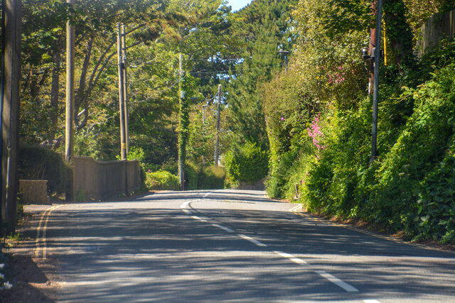
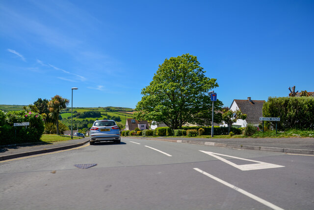
North Sands Images
Images are sourced within 2km of 50.229283/-3.7800482 or Grid Reference SX7338. Thanks to Geograph Open Source API. All images are credited.


North Sands is located at Grid Ref: SX7338 (Lat: 50.229283, Lng: -3.7800482)
Administrative County: Devon
District: South Hams
Police Authority: Devon and Cornwall
What 3 Words
///adults.timidly.budgeted. Near Salcombe, Devon
Nearby Locations
Related Wikis

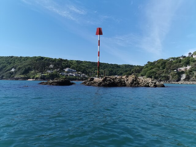
Salcombe Castle
Salcombe Castle or Fort Charles is a ruined fortification just off the beach of North Sands in Salcombe, Devon, England, within the South Devon Area of...

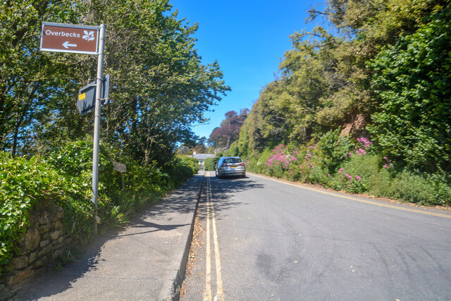
Overbeck's
Overbeck's Museum and Garden is an Edwardian house and 2.75 hectare (7 acre) garden at Sharpitor, Salcombe, Devon, England. It is named after its last...

Salcombe
Salcombe is a resort town in the South Hams district of Devon, south west England. The town is close to the mouth of the Kingsbridge Estuary, mostly built...

RAF Hope Cove
Royal Air Force Hope Cove or more simply RAF Hope Cove is a former Royal Air Force radar station. It is located about 1 mile (1.6 km) south west of Salcombe...
Nearby Amenities
Located within 500m of 50.229283,-3.7800482Have you been to North Sands?
Leave your review of North Sands below (or comments, questions and feedback).