Eastern Beach
Beach in Devon North Devon
England
Eastern Beach

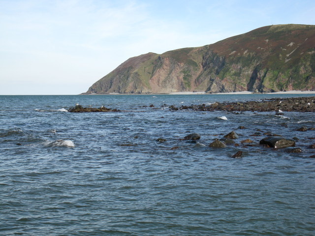
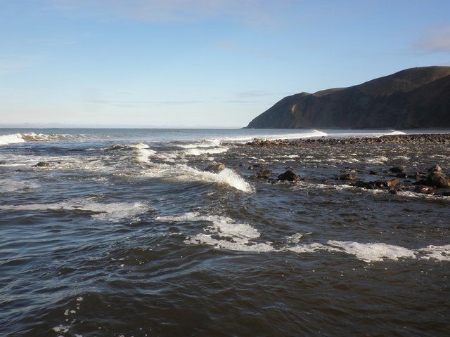
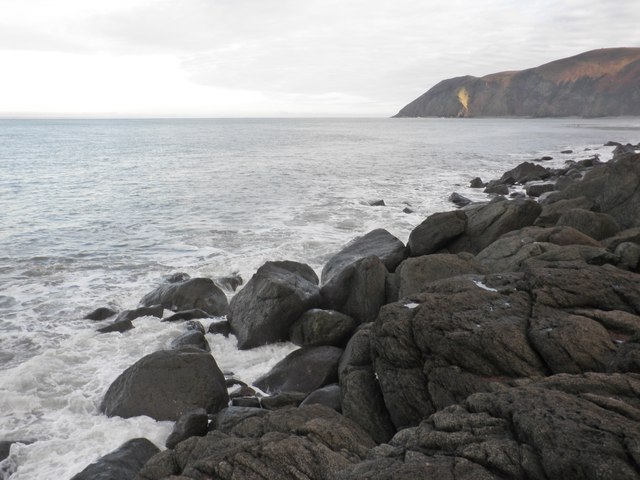
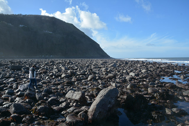
Eastern Beach is a picturesque coastal area located in the county of Devon, England. Situated on the eastern side of the county, the beach is renowned for its stunning natural beauty, making it a popular destination for both locals and tourists alike.
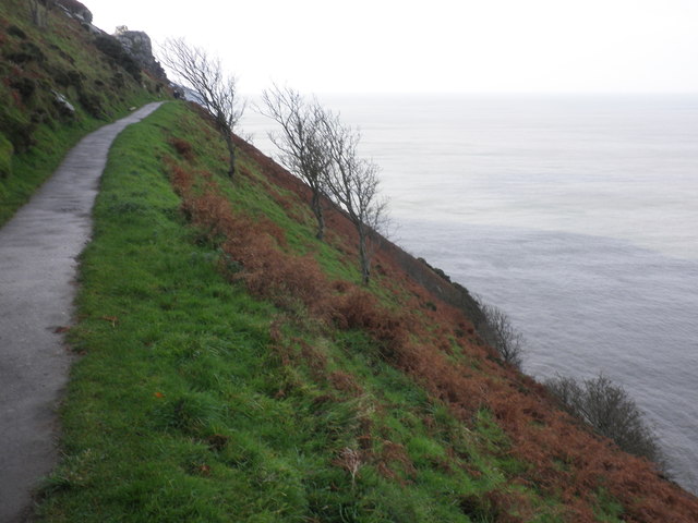
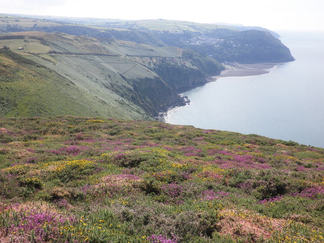
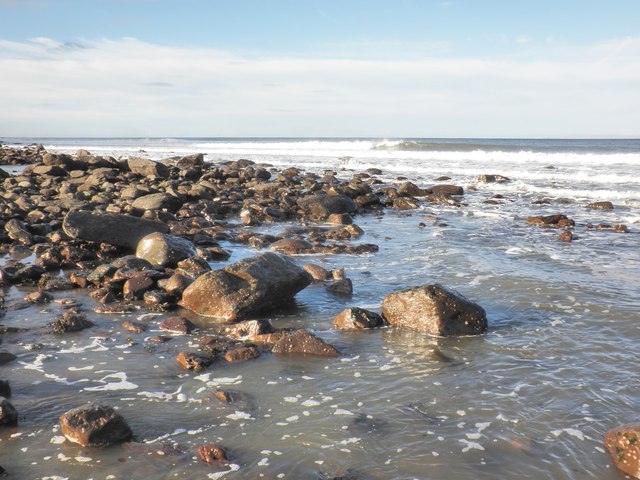
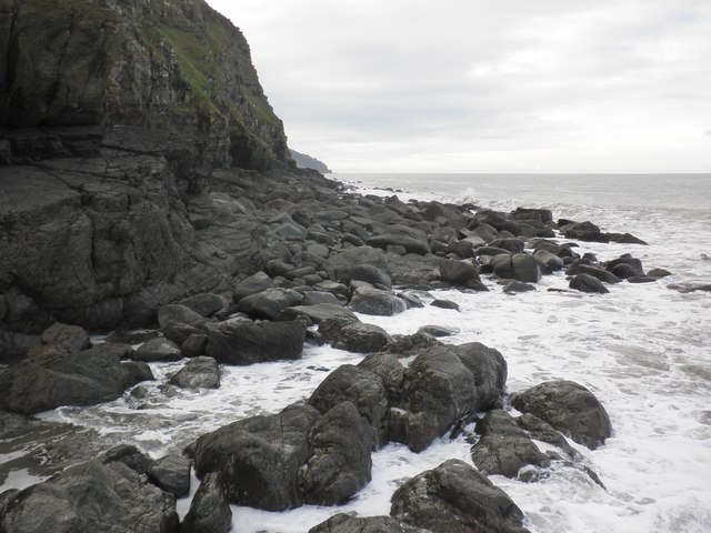
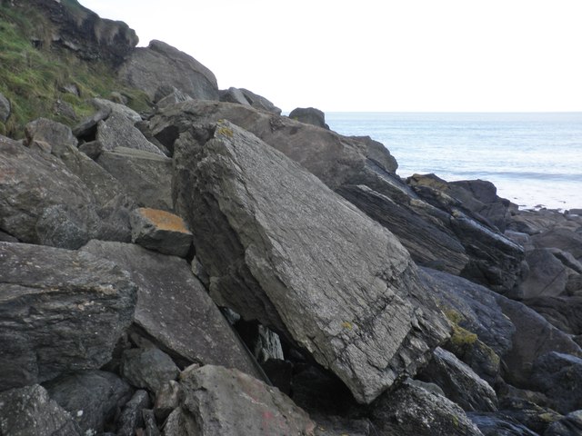
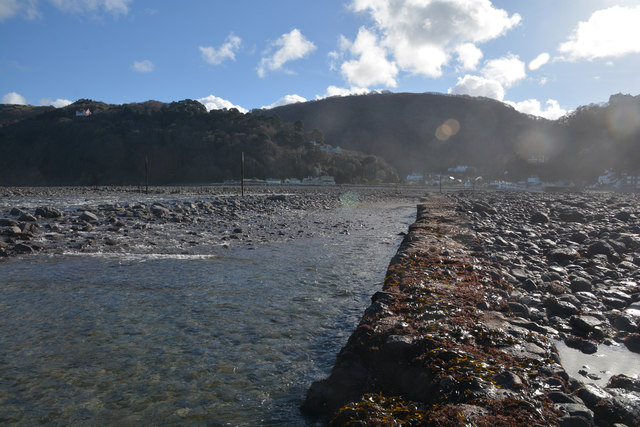
Stretching over a mile in length, Eastern Beach boasts a long sandy shoreline that is perfect for leisurely walks and sunbathing during the warmer months. The beach is backed by towering cliffs, providing a dramatic and scenic backdrop to the crystal-clear waters of the English Channel.
One of the main attractions of Eastern Beach is its excellent swimming conditions. The waters are relatively calm and shallow, making it safe for all ages to enjoy a dip in the sea. Lifeguards are also stationed on the beach during peak times to ensure the safety of swimmers.
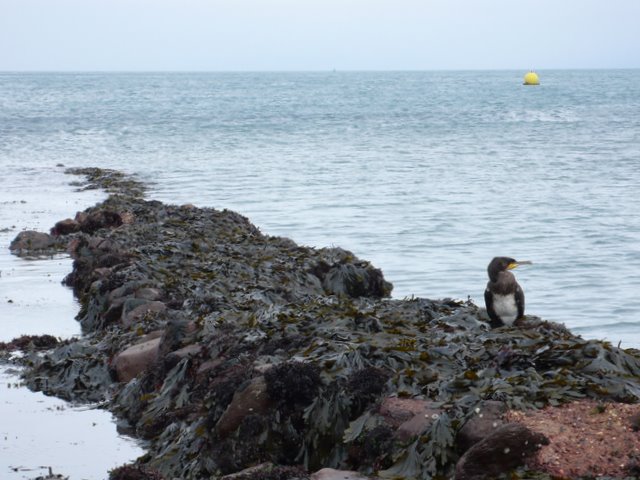
In addition to swimming, Eastern Beach offers a range of recreational activities for visitors to enjoy. These include beach volleyball, paddleboarding, and kayaking. The beach is also an ideal spot for fishing enthusiasts, with plenty of opportunities to cast a line and catch various species of fish.
Facilities at Eastern Beach are plentiful, with ample parking available nearby and several beachside cafes and restaurants offering delicious food and refreshments. Toilets and changing facilities are also provided for the convenience of beachgoers.
Overall, Eastern Beach in Devon is a charming and inviting seaside destination that offers natural beauty, recreational activities, and a relaxed atmosphere for visitors to enjoy.
If you have any feedback on the listing, please let us know in the comments section below.
Eastern Beach Images
Images are sourced within 2km of 51.233274/-3.825546 or Grid Reference SS7249. Thanks to Geograph Open Source API. All images are credited.


Eastern Beach is located at Grid Ref: SS7249 (Lat: 51.233274, Lng: -3.825546)
Administrative County: Devon
District: North Devon
Police Authority: Devon and Cornwall
What 3 Words
///justifies.disbanded.mule. Near Lynton, Devon
Nearby Locations
Related Wikis

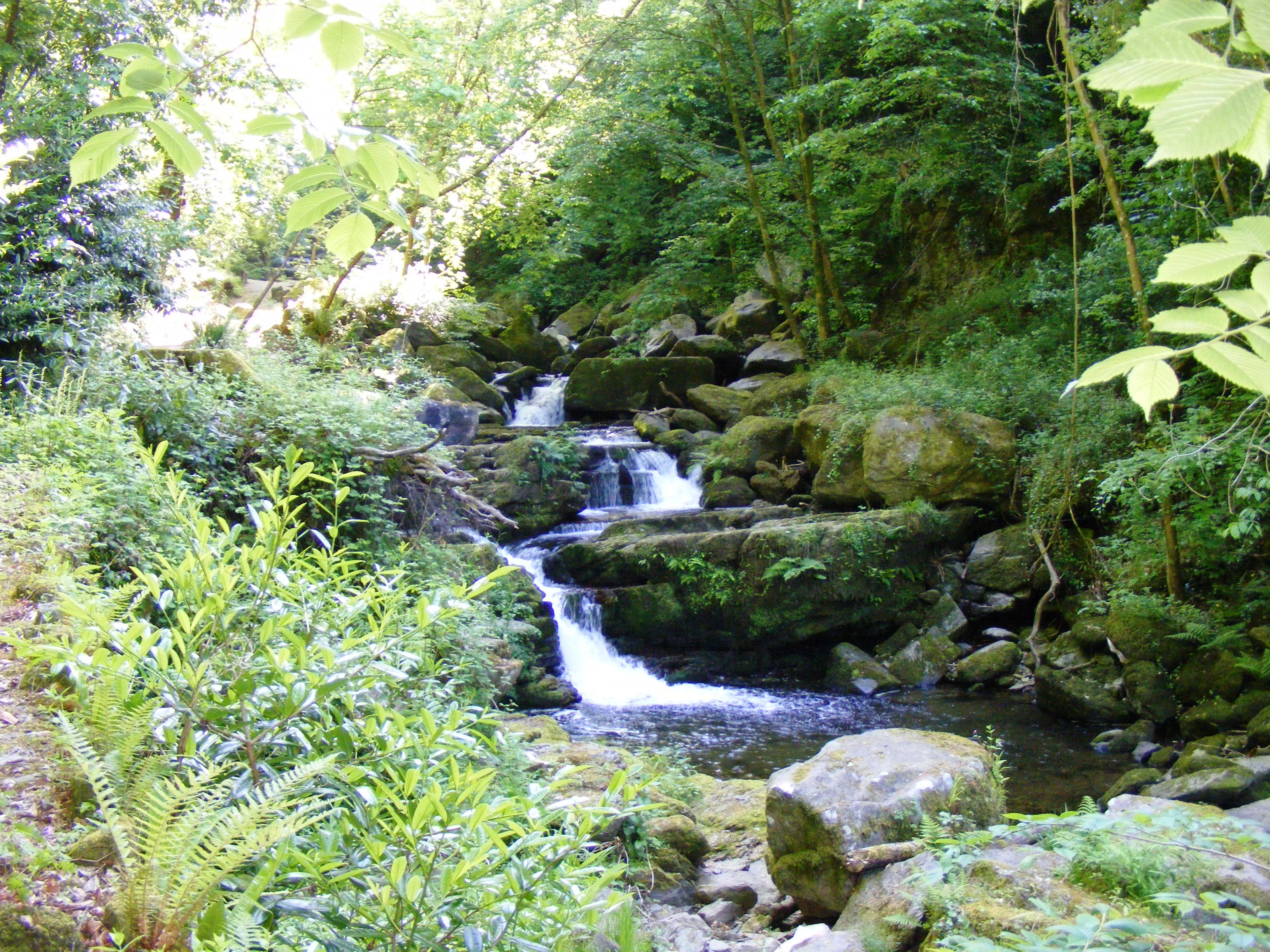
East Lyn River
The East Lyn is a river which rises high in Exmoor, in the English county of Somerset. It flows through the East Lyn Valley in Devon. == Watercourse... ==
Rhenish Tower, Lynmouth
The Rhenish Tower is a building on the pier of Lynmouth, in Devon, England, originally built in the 19th century. It is Grade II listed. The tower has...

Lynmouth Lifeboat Station
Lynmouth Lifeboat Station was the base for Royal National Lifeboat Institution (RNLI) search and rescue operations at Lynmouth, Devon in England from 1869...
West Lyn River
The West Lyn is a river in England which rises high in Exmoor, Somerset, and joins the East Lyn at Lynmouth in Devon. The upper reaches have been designated...
Nearby Amenities
Located within 500m of 51.233274,-3.825546Have you been to Eastern Beach?
Leave your review of Eastern Beach below (or comments, questions and feedback).