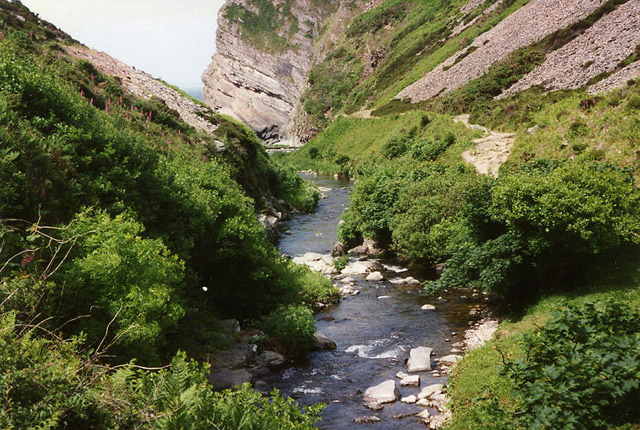
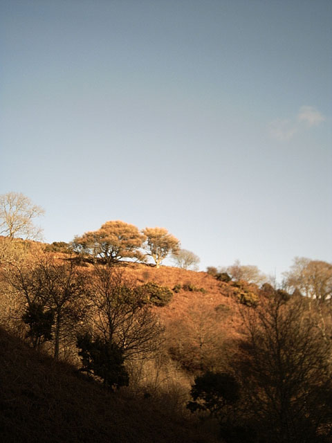
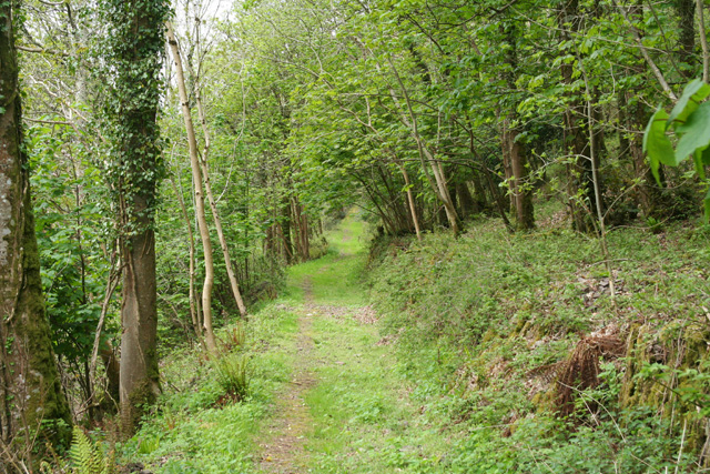
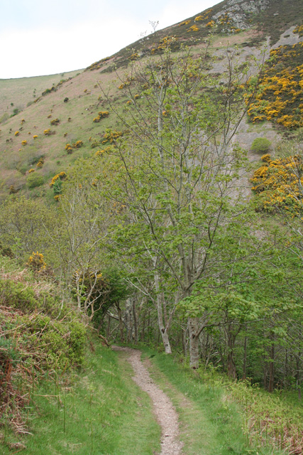
Ramsey Beach

Beach in Devon North Devon

England

Ramsey Beach

Heddon's Mouth North Devon - an excellent 4km walk from and to the nearest parking place
Heddon's Mouth Credit: John Phillips

The requested URL returned error: 429 Too Many Requests

If you have any feedback on the listing, please let us know in the comments section below.
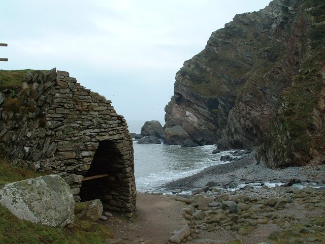
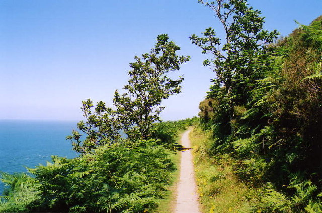
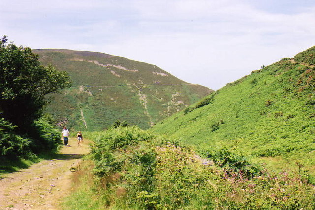
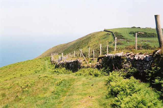
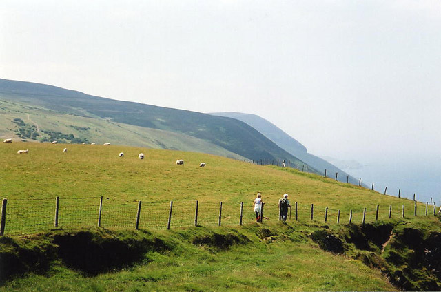
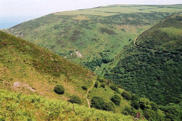
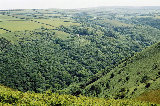
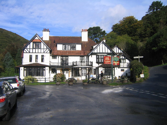
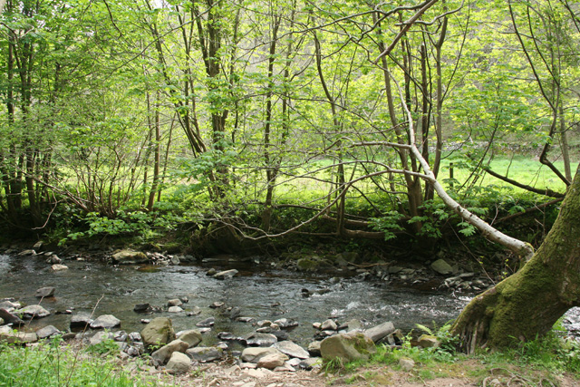
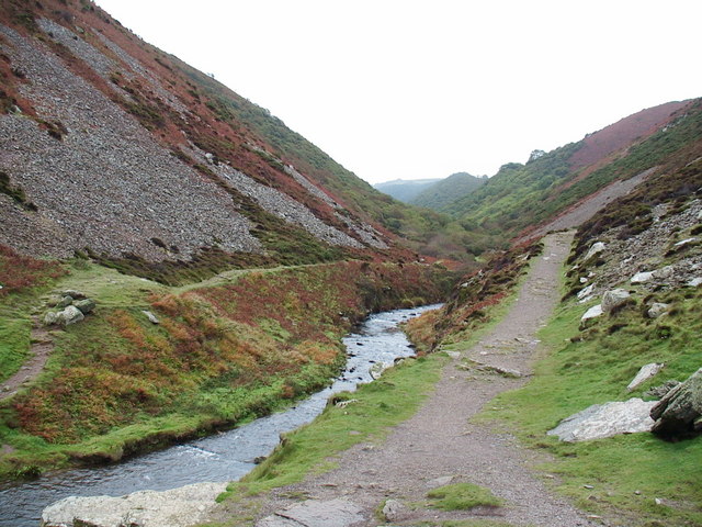
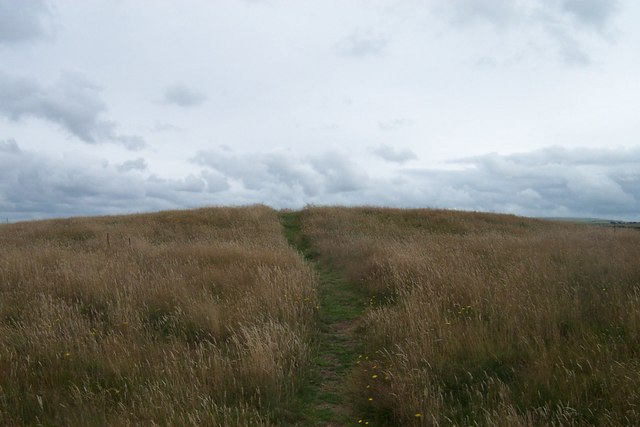
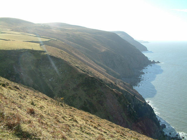
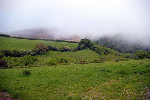
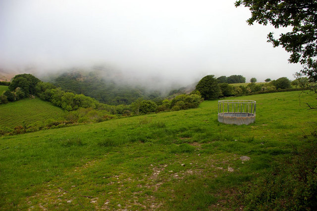
Ramsey Beach Images

Images are sourced within 2km of 51.227593/-3.9405178 or Grid Reference SS6449. Thanks to Geograph Open Source API. All images are credited.

Heddon's Mouth North Devon - an excellent 4km walk from and to the nearest parking place
Heddon's Mouth
North Devon - an excellent 4km walk from and to the nearest parking place
Martinhoe: coast path The South West Coast Path near West Woody Bay Wood, between Heddon's Mouth and Woody Bay
Martinhoe: coast path
The South West Coast Path near West Woody Bay Wood, between Heddon's Mouth and Woody Bay
Martinhoe: upper path near Heddon's Mouth Cleave The second of two coast paths between Heddon's Mouth and Woody Bay
Martinhoe: upper path near Heddon's Mouth Cleave
The second of two coast paths between Heddon's Mouth and Woody Bay
Trentishoe: the South West Coast Path Looking east
Trentishoe: the South West Coast Path
Looking east
Trentishoe: the South West Coast Path West to Holdstone Down and the Great Hangman
Trentishoe: the South West Coast Path
West to Holdstone Down and the Great Hangman
Trentishoe: overlooking Heddon's Mouth Cleave The South West Coast Path is just visible on both sides of the valley. The higher path on the hills opposite leads to Woody Bay
Trentishoe: overlooking Heddon's Mouth Cleave
The South West Coast Path is just visible on both sides of the valley. The higher path on the hills opposite leads to Woody Bay
Trentishoe: looking south over the Heddon Valley Seen from the footpath that runs around the hill east from Trentishoe church
Trentishoe: looking south over the Heddon Valley
Seen from the footpath that runs around the hill east from Trentishoe church
Hunters Inn, Heddons Mouth
Trentishoe: River Heddon Near Heddon’s Mouth
Trentishoe: River Heddon
Near Heddon’s Mouth
Winter Trees, Trentishoe Taken from the footpath leading to the Ladies Mile
Winter Trees, Trentishoe
Taken from the footpath leading to the Ladies Mile
Martinhoe: bridleway near Milltown Looking north-north-east. The path or bridleway to Kings Lane
Martinhoe: bridleway near Milltown
Looking north-north-east. The path or bridleway to Kings Lane
Martinhoe: near Heddon’s Mouth Cleave Approaching Heddon’s Mouth Cleave on the lower path from Woody Bay; the path leads on to The Hunters Inn, National Trust shop and car park. Looking south west
Martinhoe: near Heddon’s Mouth Cleave
Approaching Heddon’s Mouth Cleave on the lower path from Woody Bay; the path leads on to The Hunters Inn, National Trust shop and car park. Looking south west
Martinhoe: the Heddon between Hunters Inn and Heddon’s Mouth Seen from the lower path from Woody Bay
Martinhoe: the Heddon between Hunters Inn and Heddon’s Mouth
Seen from the lower path from Woody Bay
Heddon's Mouth, Exmoor Looking up the River Heddon valley showing the loose rocks on the valley side.
Heddon's Mouth, Exmoor
Looking up the River Heddon valley showing the loose rocks on the valley side.
Roman Fort just off the coastal path A worthy short excursion off the coastal path, the views are spectacular from the top.
Roman Fort just off the coastal path
A worthy short excursion off the coastal path, the views are spectacular from the top.
North Cleave and Elwill Bay The deep gully at North Cleave and beyond it, the steep cliffs with the Mare and Colt in the near distance, Blackstone Point in the middle distance, and just visible, Hangman Point in the far distance.
North Cleave and Elwill Bay
The deep gully at North Cleave and beyond it, the steep cliffs with the Mare and Colt in the near distance, Blackstone Point in the middle distance, and just visible, Hangman Point in the far distance.
Sea Mist Offshore winds drove sea mist up the deep valleys (combes) which persisted well into the late afternoon; picture taken late morning. Elevation 210m above sea level.
Sea Mist
Offshore winds drove sea mist up the deep valleys (combes) which persisted well into the late afternoon; picture taken late morning. Elevation 210m above sea level.
Sea Mist - right More Northerly view over Heal Brake; is that the name of the location or feature?
Sea Mist - right
More Northerly view over Heal Brake; is that the name of the location or feature?
Show me another place!

Ramsey Beach is located at Grid Ref: SS6449 (Lat: 51.227593, Lng: -3.9405178)

Administrative County: Devon

District: North Devon

Police Authority: Devon and Cornwall

What 3 Words

///retain.filled.downfield. Near Combe Martin, Devon

Related Wikis

Heddon's Mouth

Heddon's Mouth is a rocky cove on the coast of North Devon, England, about a mile down the River Heddon from the Hunter's Inn. It is preserved for the...

Trentishoe

Trentishoe is a village and civil parish in North Devon, England. The parish lies on the coast of the Bristol Channel. The village is 5 miles (8 km) east...

Martinhoe

Martinhoe is a small settlement and civil parish in North Devon district of Devon, England. Martinhoe is within the Exmoor National Park, the smallest...

Exmoor Coastal Heaths

Exmoor Coastal Heaths (grid reference SS620480) is a 1758.3 hectare (4344.7 acre) biological Site of Special Scientific Interest in Devon and Somerset...

Nearby Amenities

Located within 500m of 51.227593,-3.9405178
Tourism: viewpoint
Lat/Long: 51.2269488/-3.9370588
Source: PGS
Lat/Long: 51.229277/-3.9348576
Source: PGS
Lat/Long: 51.229139/-3.9354167
Source: PGS
Lat/Long: 51.2290931/-3.936268
Source: PGS
Lat/Long: 51.2291585/-3.9368537
Source: PGS
Lat/Long: 51.229085/-3.9378598
Source: PGS
Lat/Long: 51.2289851/-3.9386822
Source: PGS
Lat/Long: 51.2286051/-3.9394333
Elwill Bay
Natural: bay
Lat/Long: 51.2256452/-3.9469607
The data included in this document is from www.openstreetmap.org. The data is made available under ODbL.

Have you been to Ramsey Beach?

Leave your review of Ramsey Beach below (or comments, questions and feedback).