Ardroy Sand
Beach in Ross-shire
Scotland
Ardroy Sand
Ardroy Sand, located in Ross-shire, Scotland, is a picturesque beach that offers visitors a tranquil and idyllic coastal experience. Nestled along the stunning West Highlands coastline, this beach is a hidden gem known for its unspoiled natural beauty.
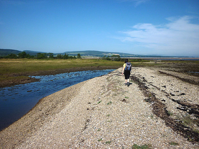
Stretching over a mile long, Ardroy Sand boasts fine golden sand, gently sloping into the clear turquoise waters of the North Atlantic. The beach is flanked by rugged cliffs on one side and rolling hills on the other, creating a dramatic backdrop that adds to its charm.
The beach is a haven for wildlife enthusiasts, as it attracts a rich variety of seabirds, including guillemots, razorbills, and puffins. Dolphins and seals can also occasionally be spotted in the waters. The surrounding area is a paradise for hikers, with numerous trails offering breathtaking views of the coastline and the nearby mountains.
Ardroy Sand is a popular destination for families and outdoor enthusiasts alike. During low tide, vast expanses of the beach are exposed, providing ample space for beach games, picnics, and leisurely walks. The calm and shallow waters make it a safe spot for swimming and paddling, particularly for younger children.
Facilities at Ardroy Sand are limited, reflecting its natural and unspoiled character. There are no lifeguards or designated parking areas, so visitors are encouraged to take necessary precautions and park responsibly. However, the lack of infrastructure adds to the beach's untouched appeal, making it an ideal retreat for those seeking solitude and a break from the hustle and bustle of everyday life.
If you have any feedback on the listing, please let us know in the comments section below.
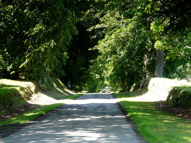
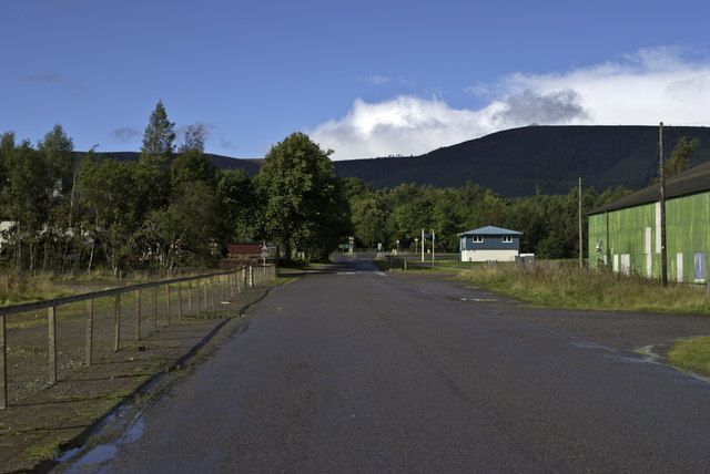
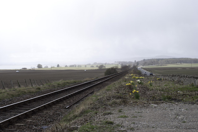
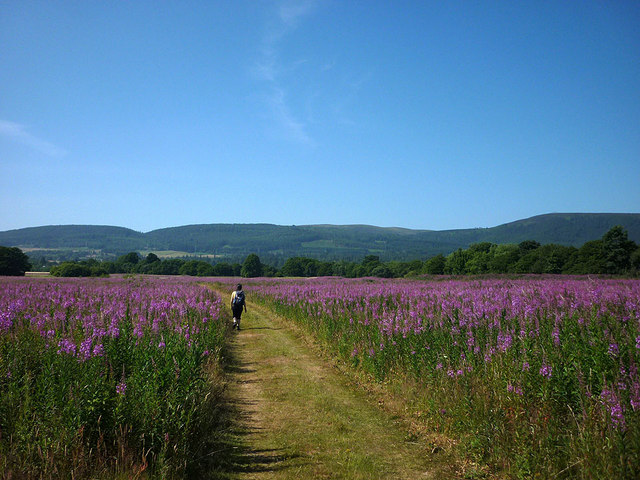
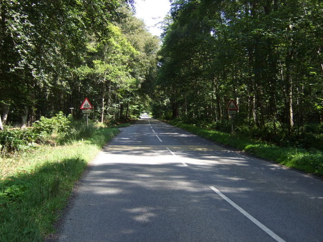
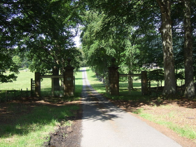
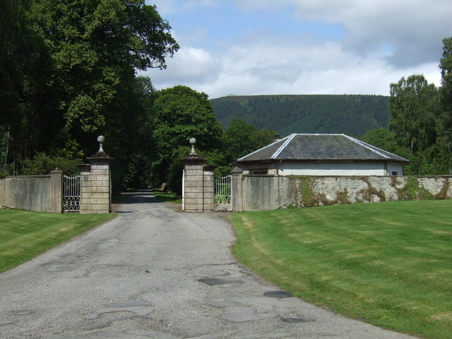
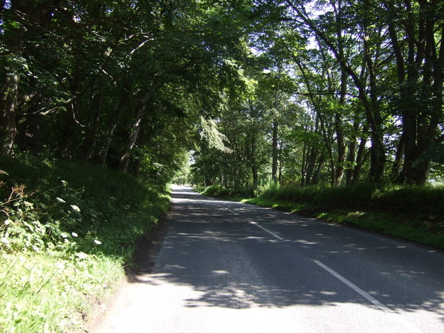
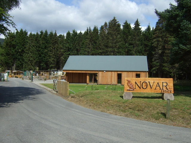
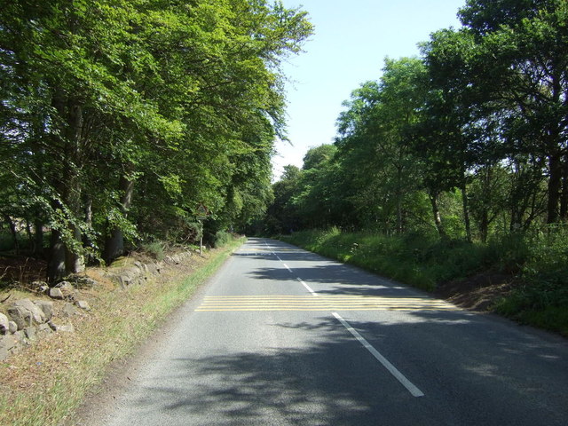
Ardroy Sand Images
Images are sourced within 2km of 57.67182/-4.2854123 or Grid Reference NH6366. Thanks to Geograph Open Source API. All images are credited.
Ardroy Sand is located at Grid Ref: NH6366 (Lat: 57.67182, Lng: -4.2854123)
Unitary Authority: Highland
Police Authority: Highlands and Islands
What 3 Words
///novels.journals.stunts. Near Alness, Highland
Nearby Locations
Related Wikis

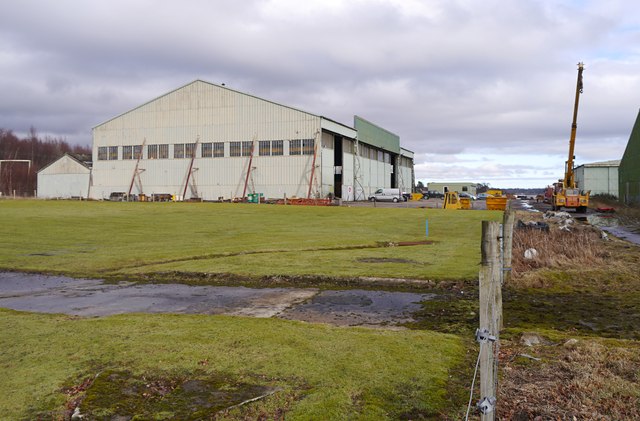
HMS Fieldfare
HMS Fieldfare also known as R.A.F. Landing Ground Novar, then RNAS Evanton and later as RAF Evanton, is a disused airfield in Ross and Cromarty, Scotland...
RAF Alness
Royal Air Force Alness, or more simply RAF Alness, is a former Royal Air Force station located 1.1 miles (1.8 km) southwest of Alness, Ross and Cromarty...

River Averon
The River Averon is a river in Easter Ross, north-east Scotland that flows into the Cromarty Firth from the north. It is also known as the River Alness...

Teaninich Castle
Teaninich Castle is situated north of the village of Evanton and just south of the town of Alness in Ross and Cromarty, Scotland. == History == It is not...
Have you been to Ardroy Sand?
Leave your review of Ardroy Sand below (or comments, questions and feedback).