Craggan Dhu

Beach in Sutherland

Scotland

Craggan Dhu

Old Salmon Bothy, Bonar Bridge All that was left on 2nd May, after specialised asbestos removal workmen had spent the day removing the roof made of asbestos/cement. 
  See -
<a title="https://www.geograph.org.uk/browser/#!/q=NH+(NH69%7CNH6091%7C2013%7C201303%7C20130316%7C%22Farm%2C+Fishery%2C+Market+Gardening%22%7C%22River%22%7C%22Bonar+Bridge%22%7C%22Highland%22%7C%22Scotland%22%7Cuser61938)/image=4234274" href="https://www.geograph.org.uk/browser/#!/q=NH+(NH69%7CNH6091%7C2013%7C201303%7C20130316%7C%22Farm%2C+Fishery%2C+Market+Gardening%22%7C%22River%22%7C%22Bonar+Bridge%22%7C%22Highland%22%7C%22Scotland%22%7Cuser61938)/image=4234274">Link</a>
  The attached store or workshop had already disappeared since last year. Shame that this historic building could not be saved. I fear for the decaying sweep-netting cobles still lying just west of the building.
Old Salmon Bothy, Bonar Bridge Credit: Peter Aikman

Craggan Dhu is a beautiful beach located in the Sutherland region of the Scottish Highlands. Situated near the small village of Strathy, it is known for its stunning coastal scenery and tranquil atmosphere.

The beach stretches for approximately 2 kilometers and is nestled between towering cliffs and rolling sand dunes. Its golden sand is soft and inviting, making it a popular spot for sunbathing, picnicking, and leisurely walks. The crystal-clear waters of the North Sea gently lap against the shore, creating a serene and peaceful ambiance.

Craggan Dhu offers breathtaking views of the surrounding landscape, including the dramatic cliffs of Farr Point to the east and the distant mountains of Ben Hope and Ben Loyal to the south. The beach is also home to a variety of wildlife, including seals, dolphins, and a wide array of bird species, making it a haven for nature enthusiasts and photographers.

Access to Craggan Dhu is relatively easy, with a car park located just a short walk from the beach. The area is well-maintained and offers amenities such as public toilets and picnic tables. However, there are no lifeguards present, so caution should be exercised when swimming or engaging in water activities.

Overall, Craggan Dhu in Sutherland is a hidden gem, offering visitors a peaceful and picturesque escape from the hustle and bustle of daily life. Whether you are seeking relaxation, wildlife spotting, or simply a scenic stroll along the coast, this beach is a must-visit destination.

If you have any feedback on the listing, please let us know in the comments section below.
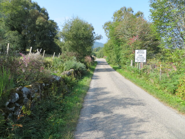
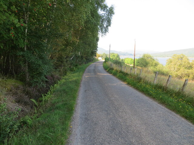
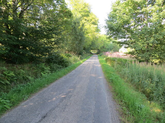
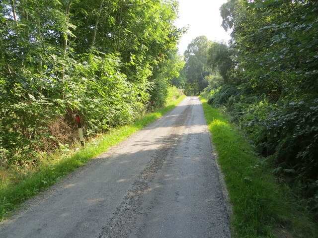
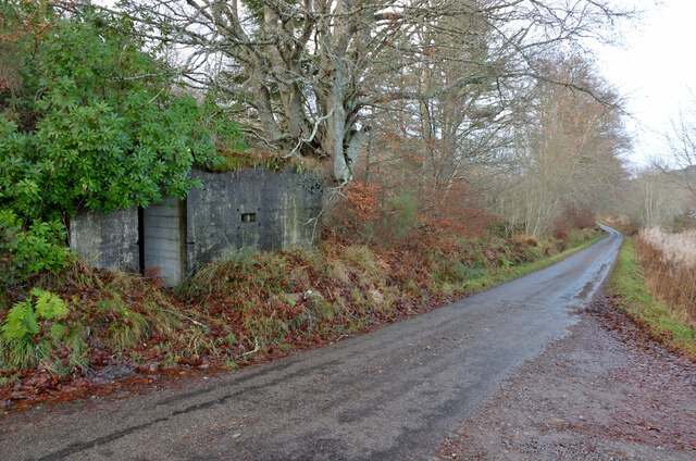
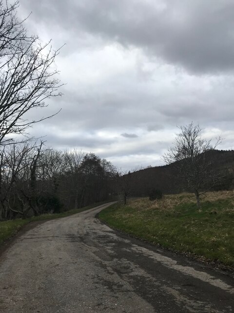
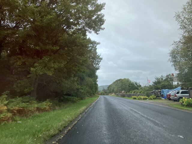
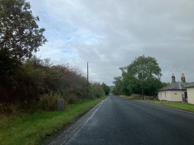
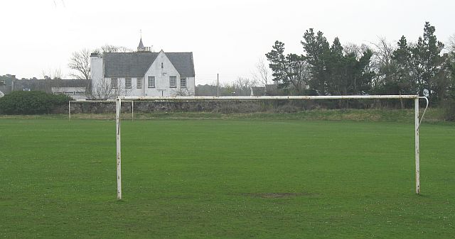
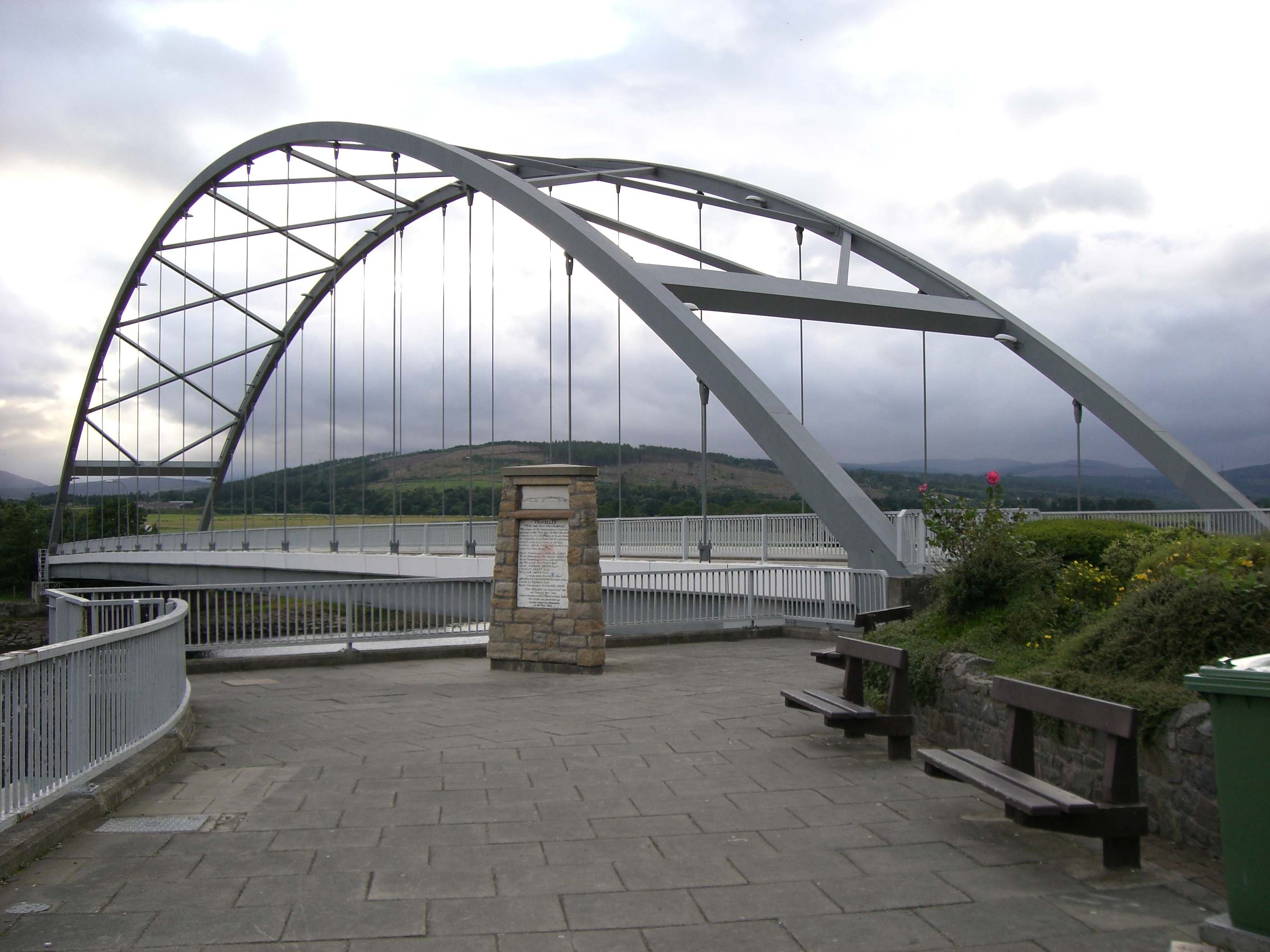
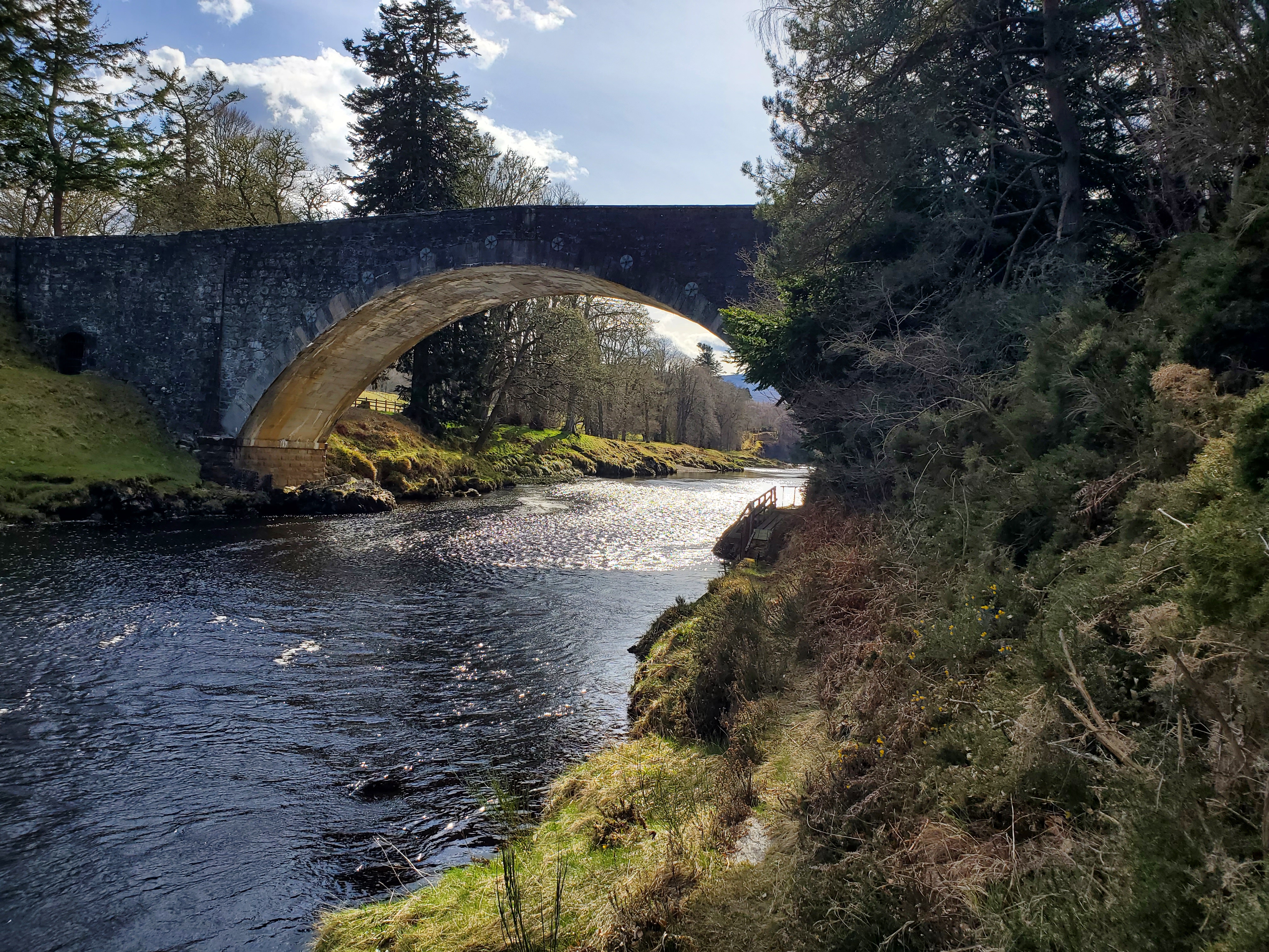
Craggan Dhu Images

Images are sourced within 2km of 57.907944/-4.3647568 or Grid Reference NH5993. Thanks to Geograph Open Source API. All images are credited.

Old Salmon Bothy, Bonar Bridge All that was left on 2nd May, after specialised asbestos removal workmen had spent the day removing the roof made of asbestos/cement. 
  See -
<a title="https://www.geograph.org.uk/browser/#!/q=NH+(NH69%7CNH6091%7C2013%7C201303%7C20130316%7C%22Farm%2C+Fishery%2C+Market+Gardening%22%7C%22River%22%7C%22Bonar+Bridge%22%7C%22Highland%22%7C%22Scotland%22%7Cuser61938)/image=4234274" href="https://www.geograph.org.uk/browser/#!/q=NH+(NH69%7CNH6091%7C2013%7C201303%7C20130316%7C%22Farm%2C+Fishery%2C+Market+Gardening%22%7C%22River%22%7C%22Bonar+Bridge%22%7C%22Highland%22%7C%22Scotland%22%7Cuser61938)/image=4234274">Link</a>
  The attached store or workshop had already disappeared since last year. Shame that this historic building could not be saved. I fear for the decaying sweep-netting cobles still lying just west of the building.
Old Salmon Bothy, Bonar Bridge
All that was left on 2nd May, after specialised asbestos removal workmen had spent the day removing the roof made of asbestos/cement. See - Link The attached store or workshop had already disappeared since last year. Shame that this historic building could not be saved. I fear for the decaying sweep-netting cobles still lying just west of the building.
Fence and wall enclosed minor road near Balinoe Looking north-westward. Out of sight on the right is the Dingwall to Wick railway line.
Fence and wall enclosed minor road near Balinoe
Looking north-westward. Out of sight on the right is the Dingwall to Wick railway line.
Minor road approaching Kyle Cottage Looking north-westward. In the far distance the Kyle of Sutherland can be seen.
Minor road approaching Kyle Cottage
Looking north-westward. In the far distance the Kyle of Sutherland can be seen.
Minor road beside Invercharron Wood Looking north-westward from the entrance to Invercharron Farm.
Minor road beside Invercharron Wood
Looking north-westward from the entrance to Invercharron Farm.
Tree enclosed minor road at Invercharron Looking southward.
Tree enclosed minor road at Invercharron
Looking southward.
Bonar Bridge WWII Defence, Ross-shire A concrete pill box beside the small country road between Ardgay and Culrain.
Bonar Bridge WWII Defence, Ross-shire
A concrete pill box beside the small country road between Ardgay and Culrain.
Layby on A836
Layby on A836
A836 to Invershin
A836 to Invershin
A836 to Invershin
A836 to Invershin
War memorial in small garden at Bonar Bridge The kilted warrior has his back to the water of the Kyle of Sutherland as it flows towards the Dornoch Firth. The distant mountains are in the direction of Strathcarron.
War memorial in small garden at Bonar Bridge
The kilted warrior has his back to the water of the Kyle of Sutherland as it flows towards the Dornoch Firth. The distant mountains are in the direction of Strathcarron.
Estate road leading to Balblair House The road is heavily shaded as it heads through trees away from the A836. The white painted wall to the right side of the image is part of a set of kennels and has OS flush bracket G1853 attached.
Estate road leading to Balblair House
The road is heavily shaded as it heads through trees away from the A836. The white painted wall to the right side of the image is part of a set of kennels and has OS flush bracket G1853 attached.
End of road, start of track
Road down to Migdale
Bridge over River Carron lower reach Gravel berms affected by stone bridge pillars up and down stream reaches
Bridge over River Carron lower reach
Gravel berms affected by stone bridge pillars up and down stream reaches
Speed sign at Bonar Bridge
Bonar Bridge A chilly walk through Bonar Bridge.
Bonar Bridge
A chilly walk through Bonar Bridge.
Cut Hay In Bonar Bridge The Farmland  behind Gilmour Crescent in Bonar Bridge.
Cut Hay In Bonar Bridge
The Farmland behind Gilmour Crescent in Bonar Bridge.
Invercharron Farm cottages The Invercharron Farm Cottages.
Invercharron Farm cottages
The Invercharron Farm Cottages.
Show me another place!

Craggan Dhu is located at Grid Ref: NH5993 (Lat: 57.907944, Lng: -4.3647568)

Unitary Authority: Highland

Police Authority: Highlands and Islands

What 3 Words

///entrusted.confusion.raft. Near Lairg, Highland

Related Wikis

River Carron, Sutherland

The River Carron (Scottish Gaelic: Carrann) is an east coast river in Sutherland, in the Highlands of Scotland. It begins as Abhainn a' Ghlinne Mhòir...

Migdale Hospital

The Migdale Hospital is a health facility in Bonar Bridge, Scotland. It is managed by NHS Highland. == History == The facility has its origins in the Sutherland...

Migdale Hoard

The Migdale Hoard is a group of early Bronze Age jewellery discovered by workmen blasting a granite knoll behind Bonar Bridge, Scotland, near what is known...

Bonar Bridge

Bonar Bridge (Scottish Gaelic: Drochaid a' Bhanna, pronounced [ˈt̪ɾɔxɪtʲ ə ˈvan̪ˠə]) is a village on the north bank of the Kyle of Sutherland to the west...

Culrain railway station

Culrain railway station serves the village of Culrain in Kyle of Sutherland in the Highland council area of Scotland. It is located on the Far North Line...

Culrain

Culrain (Cul Raoin) is a small village in Sutherland, Highland, Scotland. == Location == Culrain lies west of Ardgay, beside the Kyle of Sutherland about...

Invershin

Invershin (Scottish Gaelic: Inbhir Sin) is a scattered village in the Parish of Creich, 6 miles (10 km) south of Lairg and 4 miles (6.4 km) north of Bonar...

Carron Bridge (Sutherland, Scotland)

The Carron Bridge is a bridge over the River Carron near Ardgay in Sutherland, Scotland. == Description == The Carron Bridge is located near the town of...

Nearby Amenities

Located within 500m of 57.907944,-4.3647568
Parking
Lat/Long: 57.9072017/-4.3614775
Power: pole
Lat/Long: 57.9108886/-4.3699163
Power: pole
Lat/Long: 57.9102975/-4.3686777
Power: pole
Lat/Long: 57.9098013/-4.3675762
Power: pole
Lat/Long: 57.9095101/-4.3662727
Power: pole
Lat/Long: 57.9092232/-4.3649245
Power: pole
Lat/Long: 57.9091035/-4.3644149
Power: pole
Lat/Long: 57.9088101/-4.3631703
Power: pole
Lat/Long: 57.9084519/-4.3615155
Power: pole
Lat/Long: 57.9079266/-4.3607176
Power: pole
Lat/Long: 57.907123/-4.3594912
Power: pole
Lat/Long: 57.9064369/-4.3584029
Recycling
Bonar Bridge Recycling Centre
Addr City: Bonar Bridge
Addr Postcode: IV24 3AP
Addr Street: Craggandhu
Owner: Highland Council
Ownership: municipal
Recycling Type: centre
Website: https://www.highland.gov.uk/directory_record/1096698/bonar_bridge_recycling_centre/category/484/recycling_centres
Wikidata: Q106085793
Lat/Long: 57.9056411/-4.3606495
Ford: yes
Lat/Long: 57.9070433/-4.3599344
Ford: yes
Lat/Long: 57.9084374/-4.3573432
The data included in this document is from www.openstreetmap.org. The data is made available under ODbL.

Have you been to Craggan Dhu?

Leave your review of Craggan Dhu below (or comments, questions and feedback).