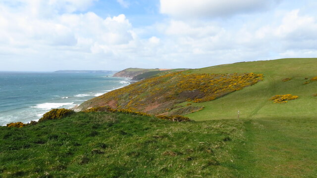
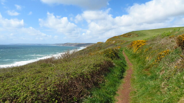
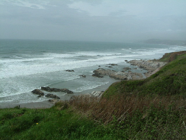
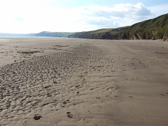
Long Sands
Beach in Cornwall
England
Long Sands
The requested URL returned error: 429 Too Many Requests
If you have any feedback on the listing, please let us know in the comments section below.
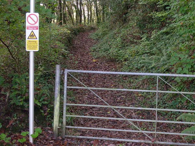
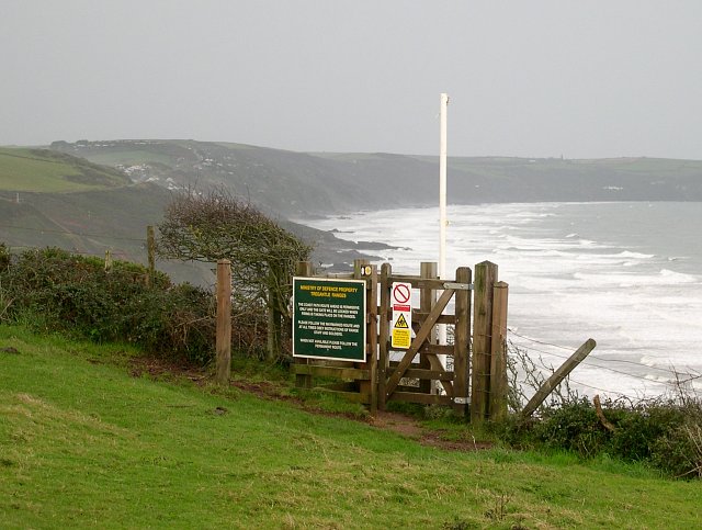
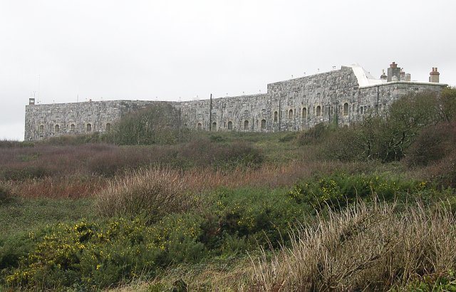
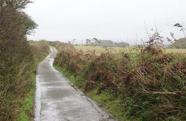
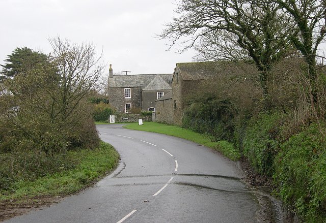
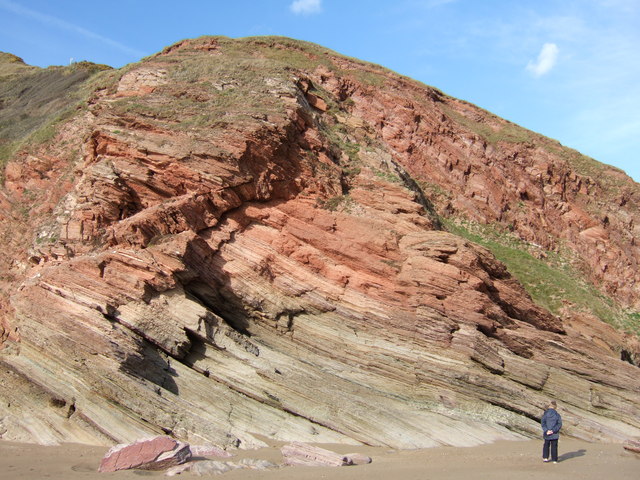
Long Sands Images
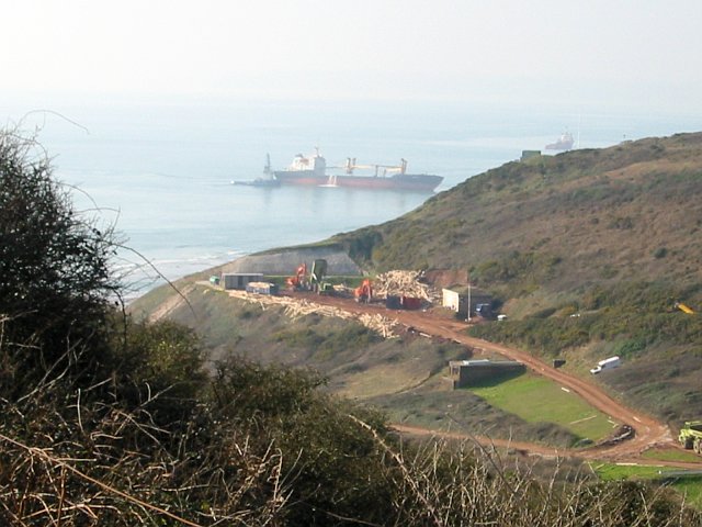
Images are sourced within 2km of 50.354514/-4.2784695 or Grid Reference SX3852. Thanks to Geograph Open Source API. All images are credited.


Long Sands is located at Grid Ref: SX3852 (Lat: 50.354514, Lng: -4.2784695)
Unitary Authority: Cornwall
Police Authority: Devon and Cornwall
What 3 Words
///restriction.slice.rave. Near Millbrook, Cornwall
Nearby Locations
Related Wikis

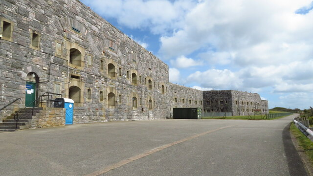
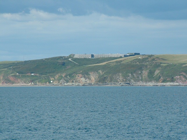
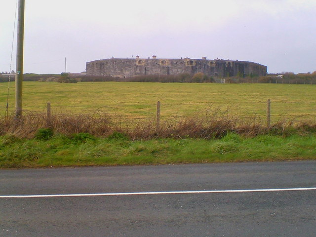
Tregantle Fort
Tregantle Fort in south east Cornwall is one of several forts surrounding Plymouth that were built as a result of a decision in Lord Palmerston's premiership...

Tregantle Down Battery
Tregantle Down Battery was a high angle gun battery in south east Cornwall. It was built between 1888 and 1894 to defend HMNB Devonport from Whitsand Bay...

Lower Tregantle
Lower Tregantle is a hamlet in Cornwall, England, UK. It is about half a mile south of Antony; Higher Tregantle is about a quarter of a mile further south...
Crafthole
Crafthole is a village in the parish of Sheviock, in southeast Cornwall, England, UK. The village has a pub (Finnygook Inn), Post Office, shop, Methodist...
Nearby Amenities
Located within 500m of 50.354514,-4.2784695Have you been to Long Sands?
Leave your review of Long Sands below (or comments, questions and feedback).