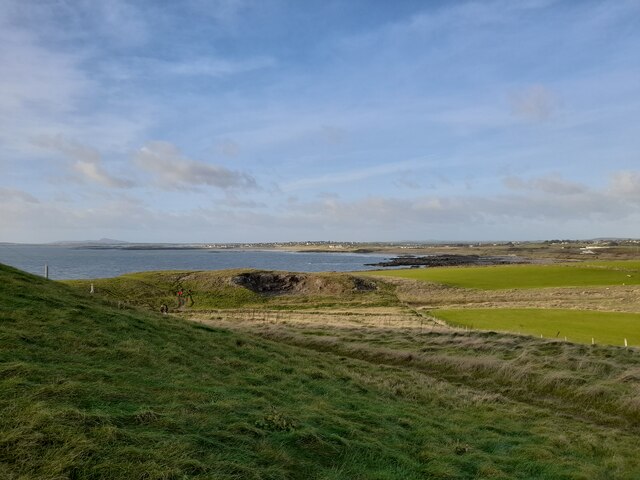
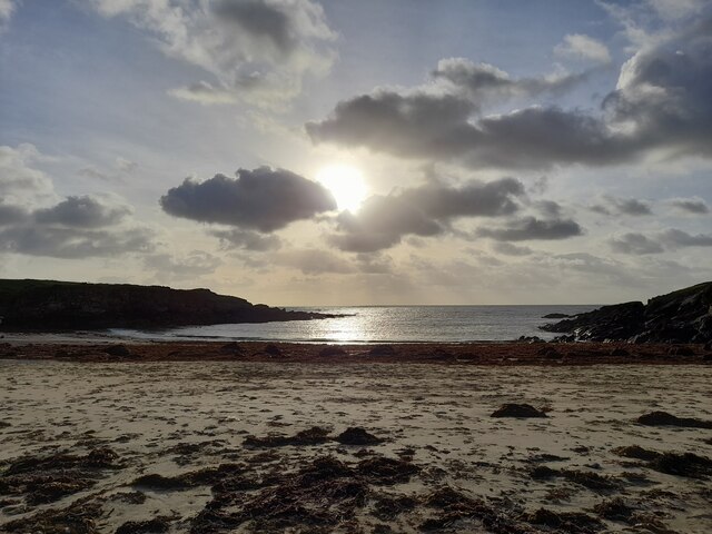
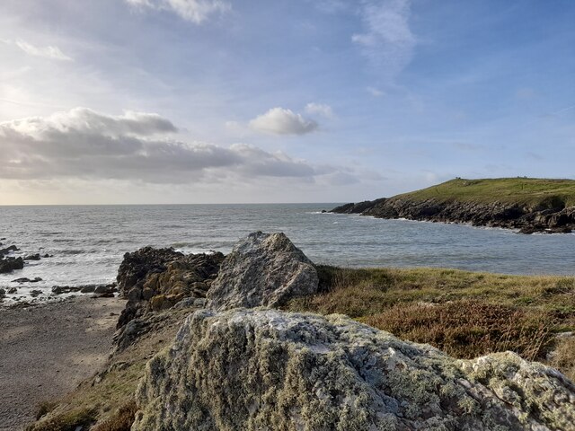
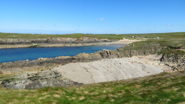
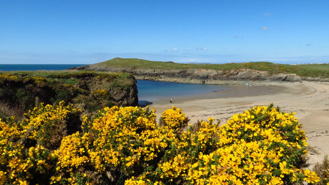
Porth Tyn Tywyn
Beach in Anglesey
Wales
Porth Tyn Tywyn
The requested URL returned error: 429 Too Many Requests
If you have any feedback on the listing, please let us know in the comments section below.
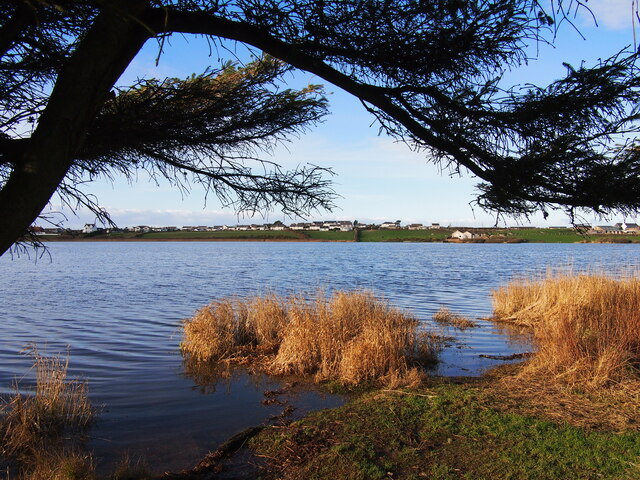
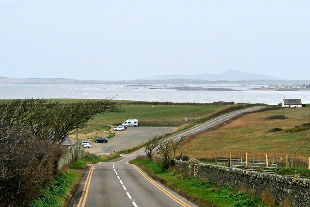
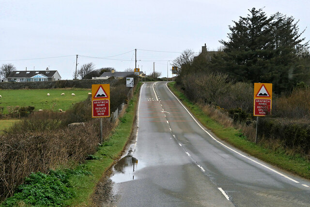
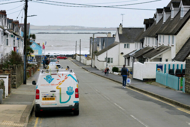
Porth Tyn Tywyn Images
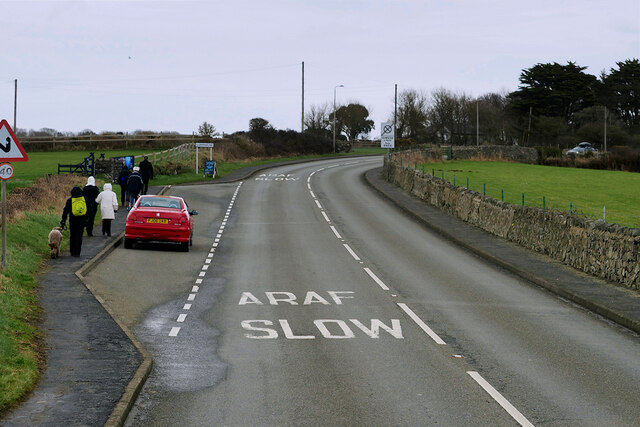
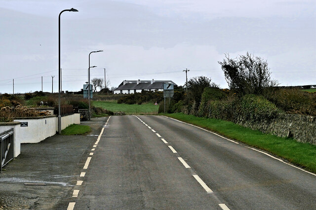
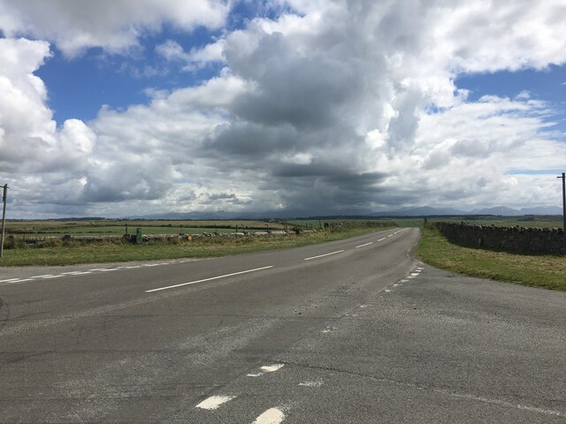
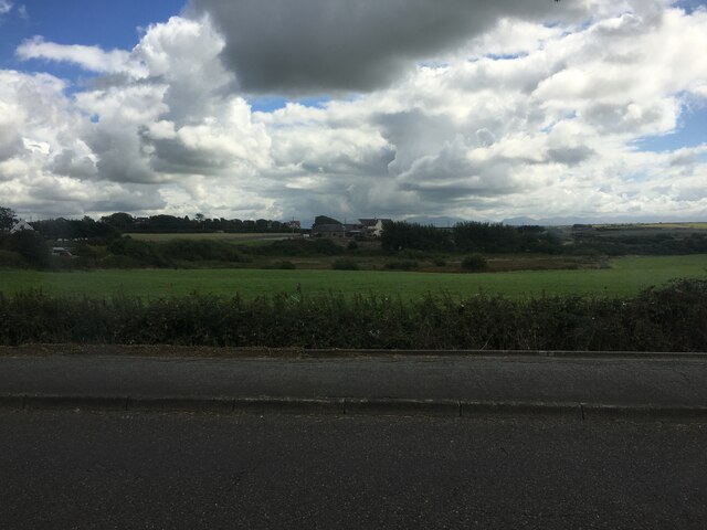
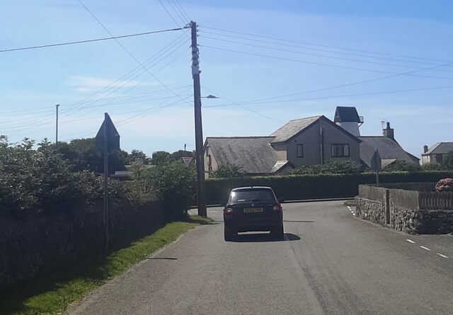
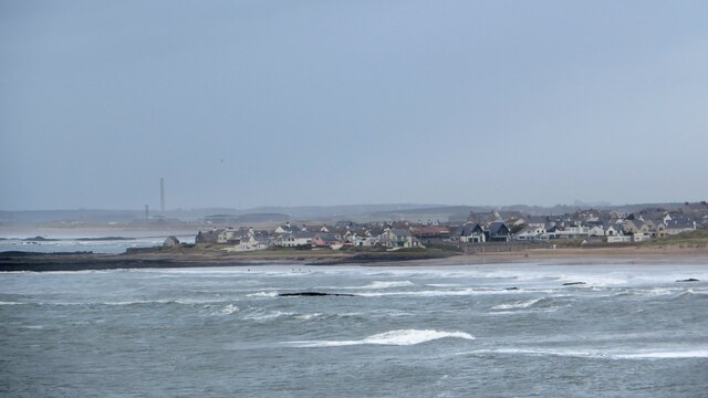
Images are sourced within 2km of 53.215362/-4.5061482 or Grid Reference SH3271. Thanks to Geograph Open Source API. All images are credited.


Porth Tyn Tywyn is located at Grid Ref: SH3271 (Lat: 53.215362, Lng: -4.5061482)
Unitary Authority: Isle of Anglesey
Police Authority: North Wales
What 3 Words
///captive.unlocking.trend. Near Rhosneigr, Isle of Anglesey
Nearby Locations
Related Wikis

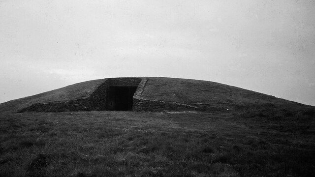
Barclodiad y Gawres
Barclodiad y Gawres (Welsh for 'The Giantess's Apronful'; Welsh pronunciation: [barkˌlɔdjad ə ˈgau̯rɛs]) is a Neolithic burial chamber between Rhosneigr...

Trecastell
Trecastell is a farm and historical site in the community of Aberffraw, Anglesey, Wales. == History == Llywelyn the Great, Prince of the Kingdom of Gwynedd...

St Maelog's Church, Llanfaelog
St Maelog's Church is a church in the village of Llanfaelog, situated in the Isle of Anglesey, Wales. The present building dates from the 19th century...

Llanfaelog
Llanfaelog is a village and community in western Anglesey, Wales. It is situated some 13 kilometres south-east of Holyhead and 22 kilometres west of the...
Nearby Amenities
Located within 500m of 53.215362,-4.5061482Have you been to Porth Tyn Tywyn?
Leave your review of Porth Tyn Tywyn below (or comments, questions and feedback).